BLM SC192
Total Miles
4.1
Technical Rating
Best Time
Summer, Fall, Spring
Trail Type
Full-Width Road
Accessible By
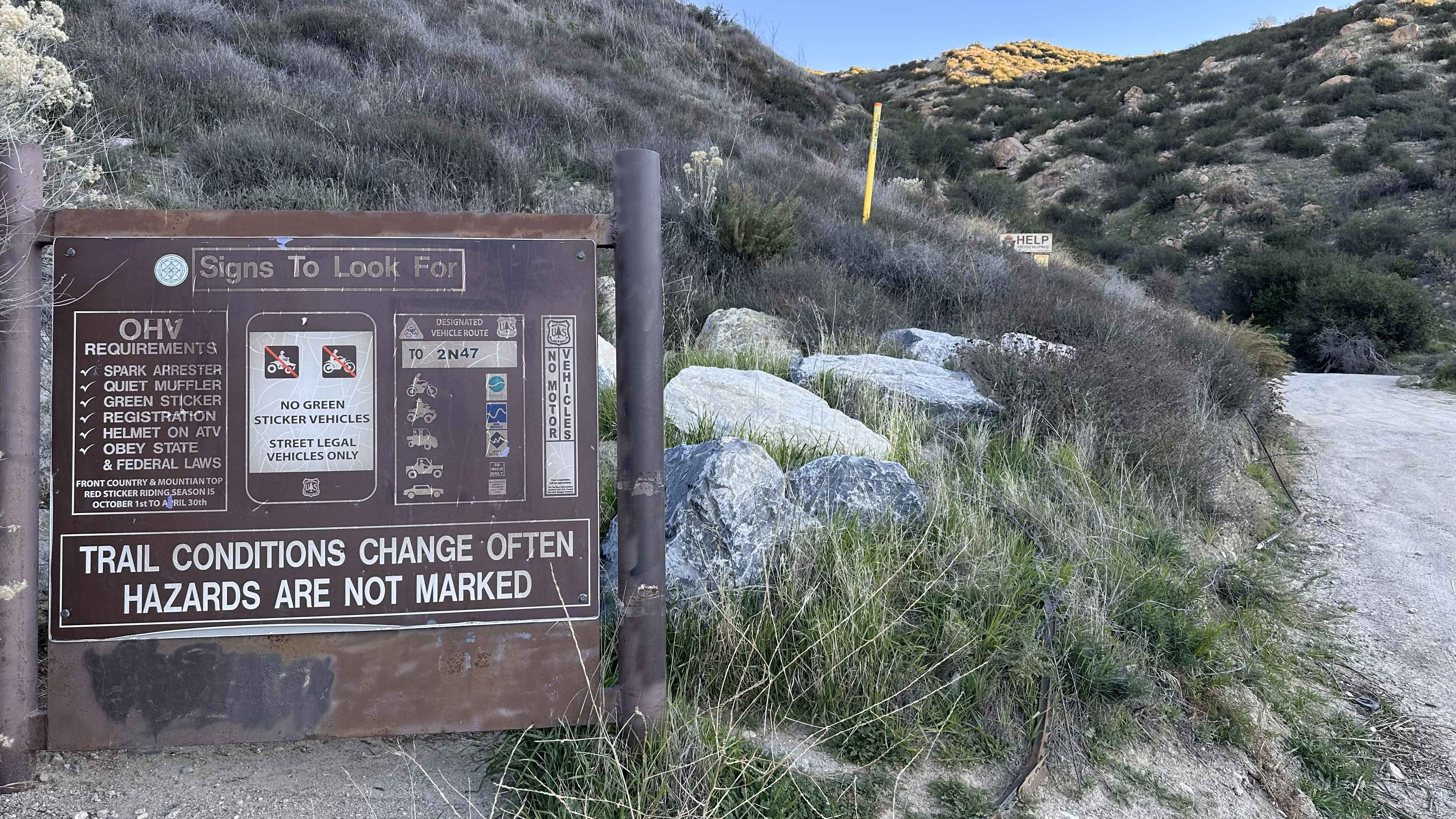
Trail Overview
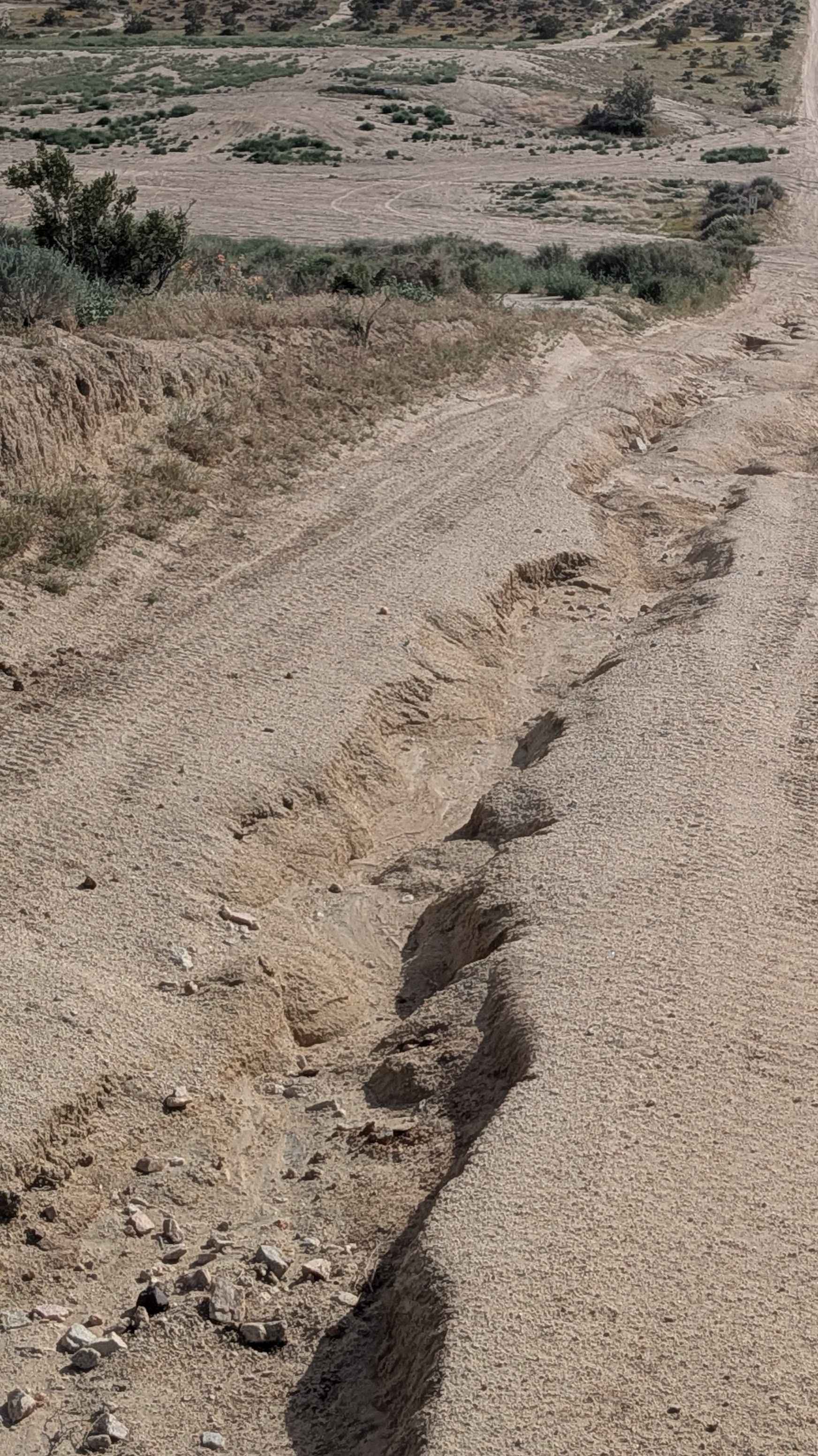
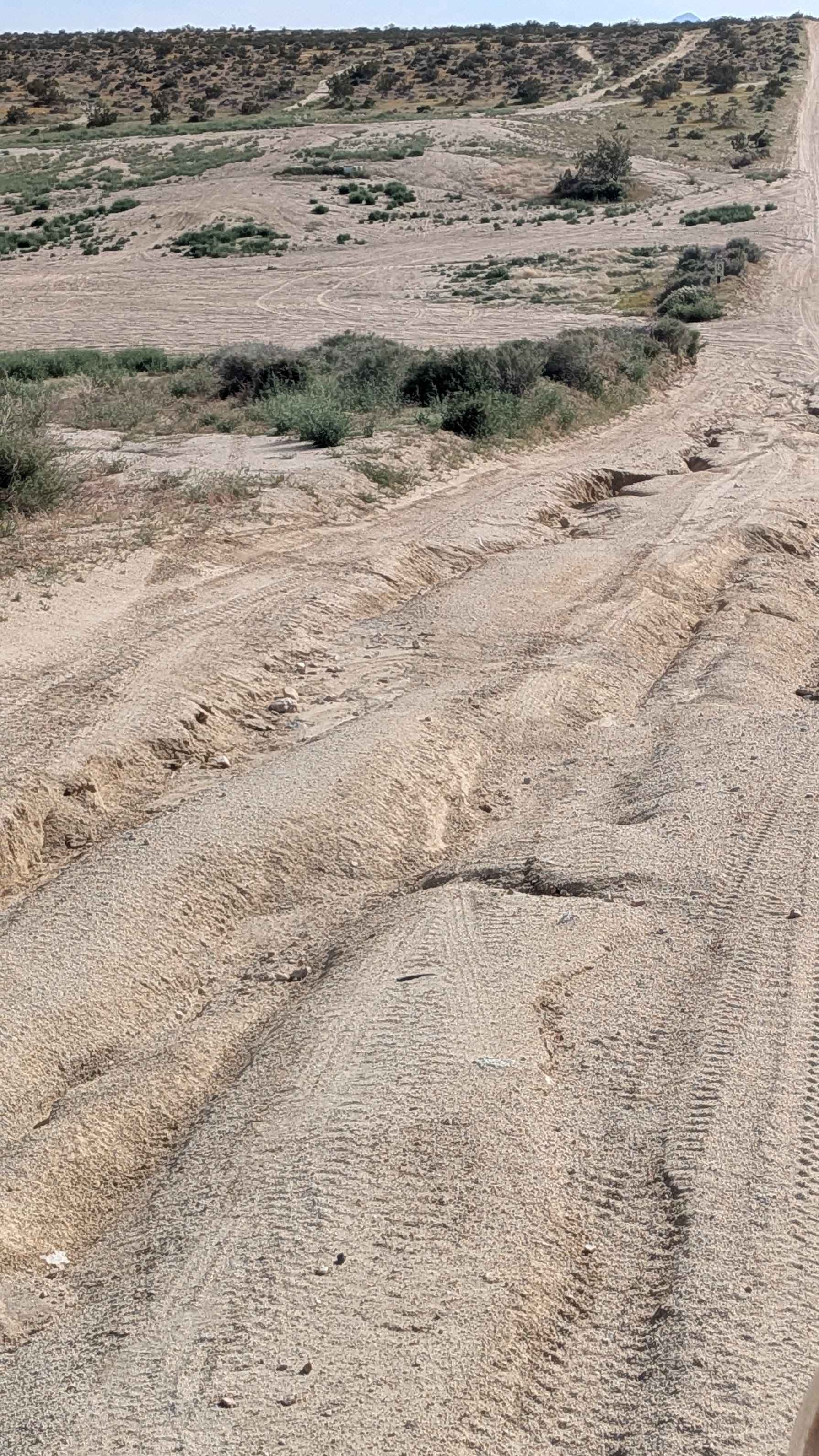
Starting at Highway 14 and heading toward Dove Springs OHV open riding area, this two vehicle wide route alternates between loose and packed sand through Jawbone-Butterbredt BLM area. Lots of camping opportunities attract heavy RV traffic, creating washboards throughout. The trail crosses the BLM LAP trail and merges with the BLM LA1 on the south section, where washboards get worse from accumulated traffic. Nice views showcase the southern Eastern Sierras along with the Red Rock State Park mountains. The trail is lined with diverse flora, including Joshua trees. One spot features deep ruts up to 24 inches that narrower vehicles can bypass while wider rigs must navigate directly.
Photos of BLM SC192
Difficulty
Those washboards from heavy RV traffic create a punishing ride that worsens when merging with BLM LA1 on the south section. While most of the trail is rated 2, the deep ruts up to 24 inches at one spot are extremely challenging, though the narrow vehicle bypass provides escape for smaller rigs, bringing up the rating to 4. Wider vehicles forced through those 24-inch ruts need serious clearance and articulation. The two vehicle width helps navigation generally, but doesn't help with that deep rut section. Heavy RV traffic means expect dust and congestion at peak times.
Status Reports
BLM SC192 can be accessed by the following ride types:
- High-Clearance 4x4
- SUV
- SxS (60")
- ATV (50")
- Dirt Bike
BLM SC192 Map
Popular Trails

Borrego Mountain Wash
Trail 4-2 (11E25)
Cleghorn Ridge Entry
The onX Offroad Difference
onX Offroad combines trail photos, descriptions, difficulty ratings, width restrictions, seasonality, and more in a user-friendly interface. Available on all devices, with offline access and full compatibility with CarPlay and Android Auto. Discover what you’re missing today!