BLM 139
Total Miles
1.3
Technical Rating
Best Time
Fall, Winter, Spring
Trail Type
Full-Width Road
Accessible By
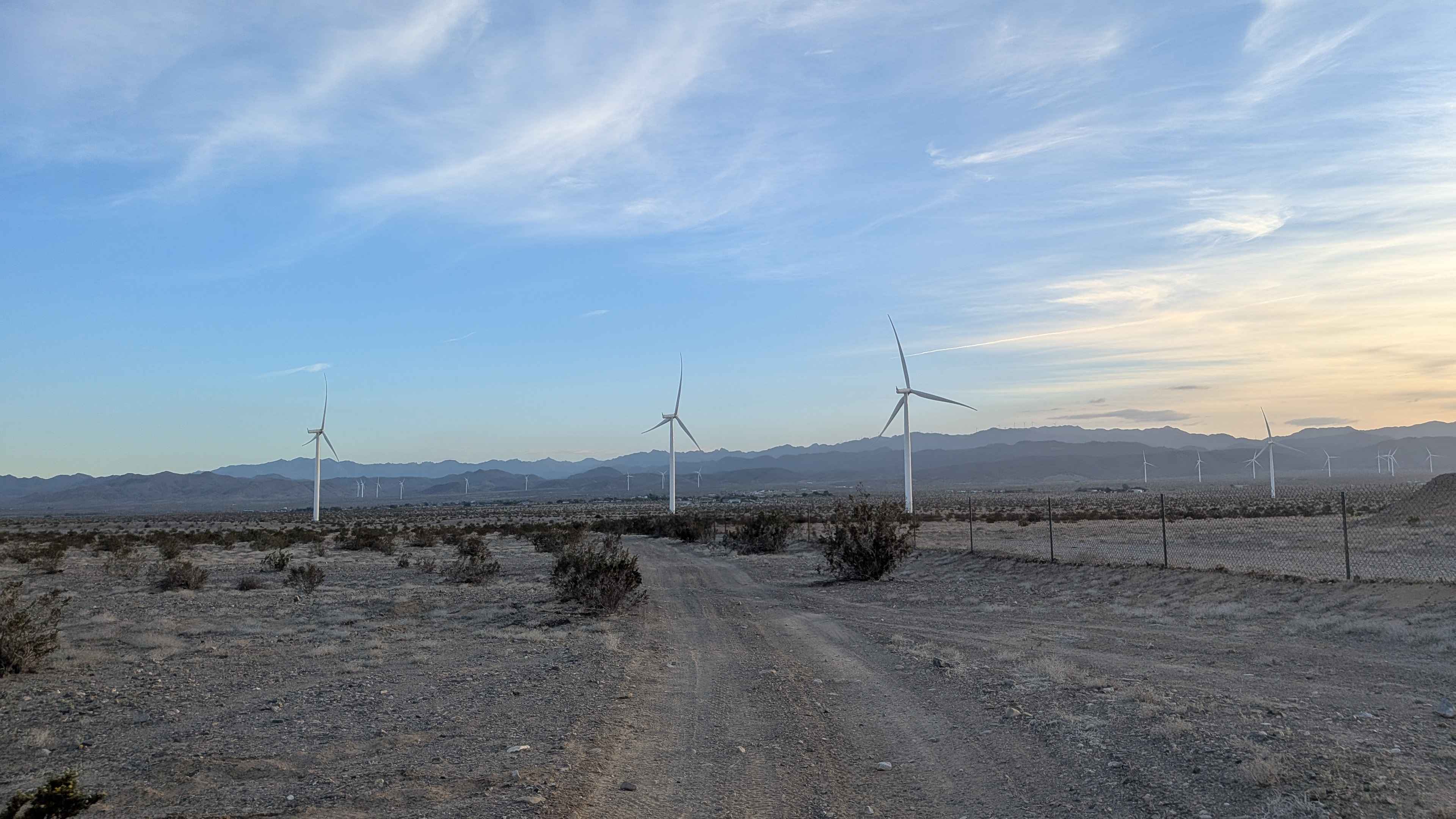
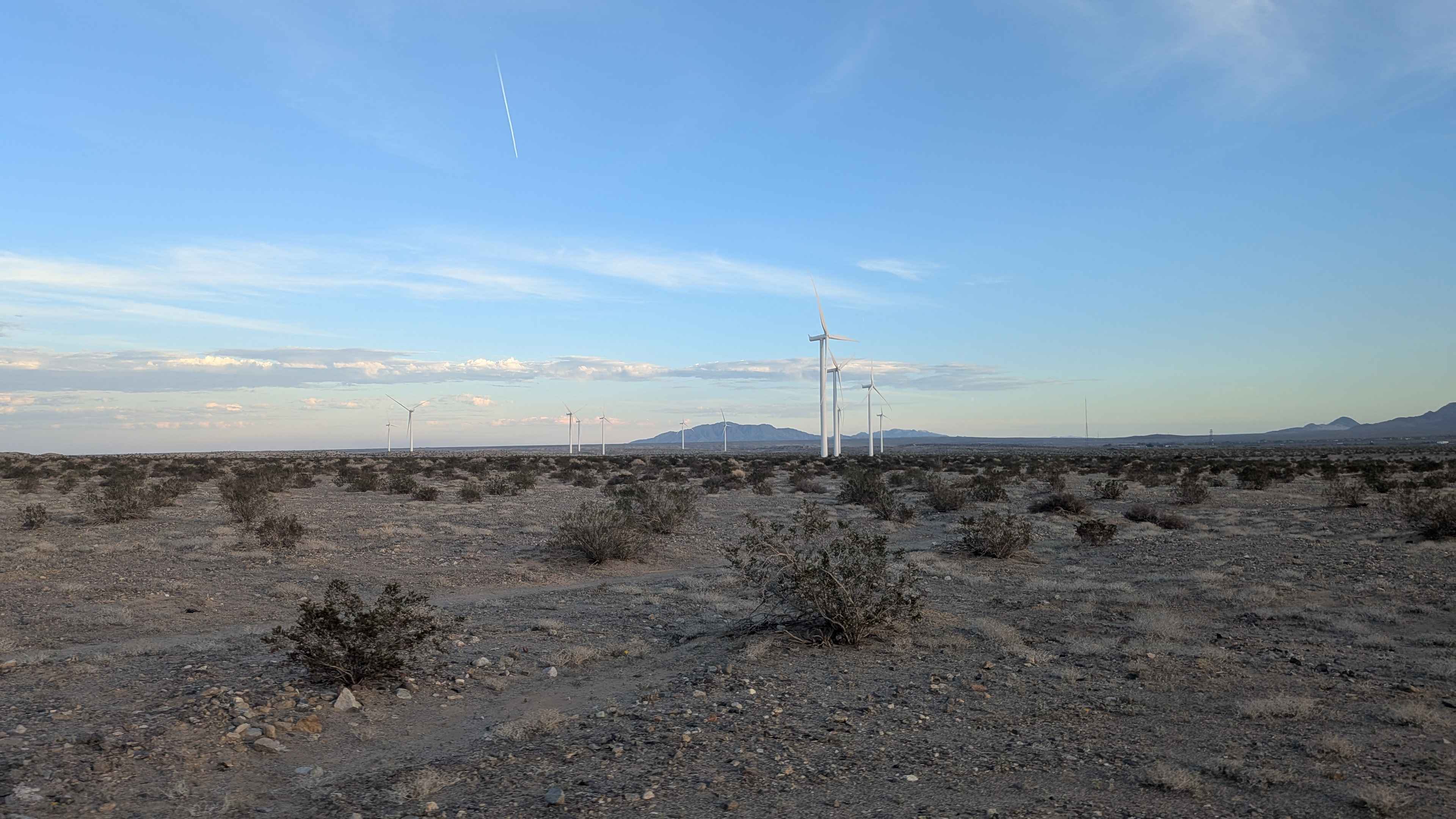
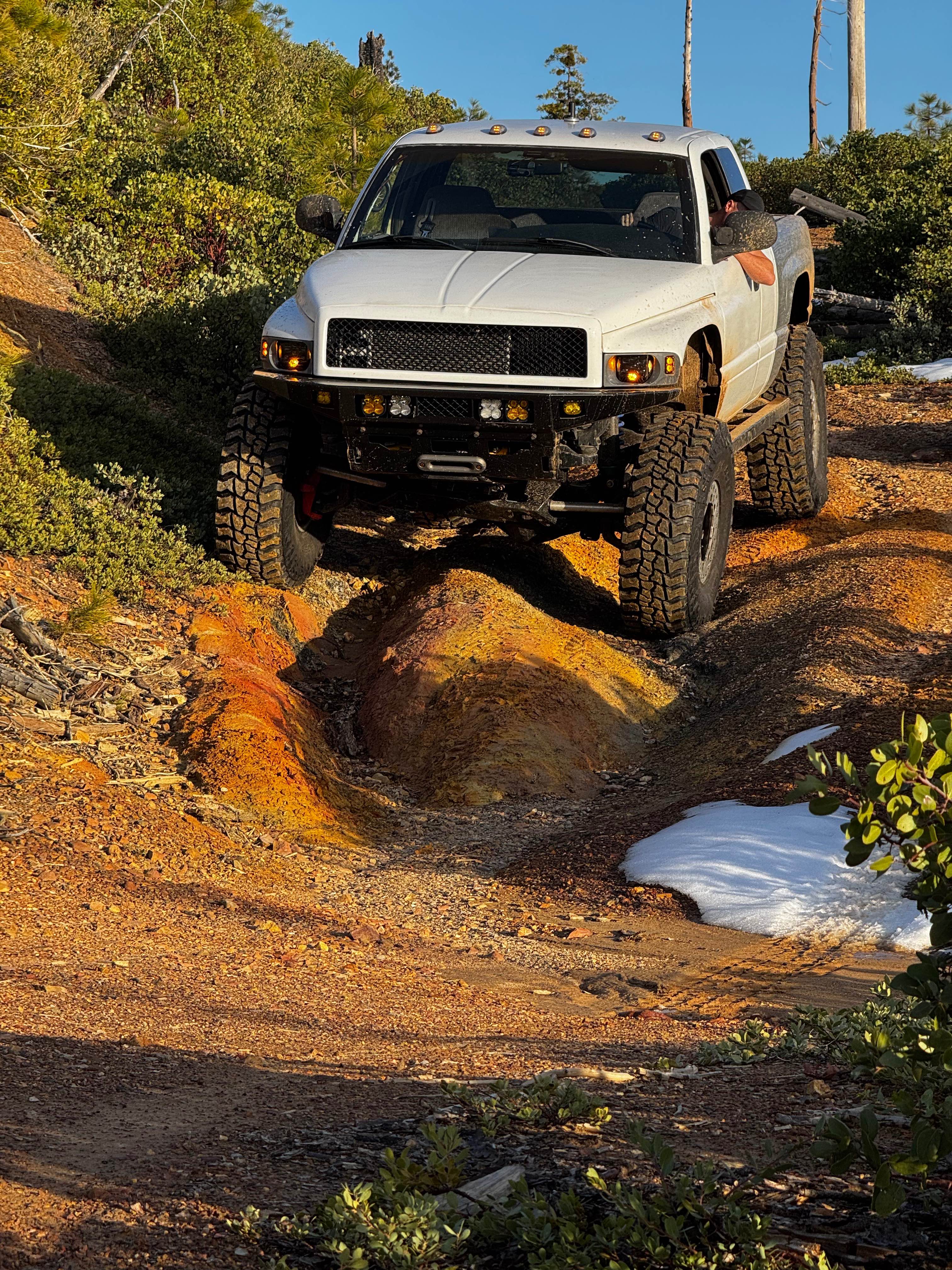
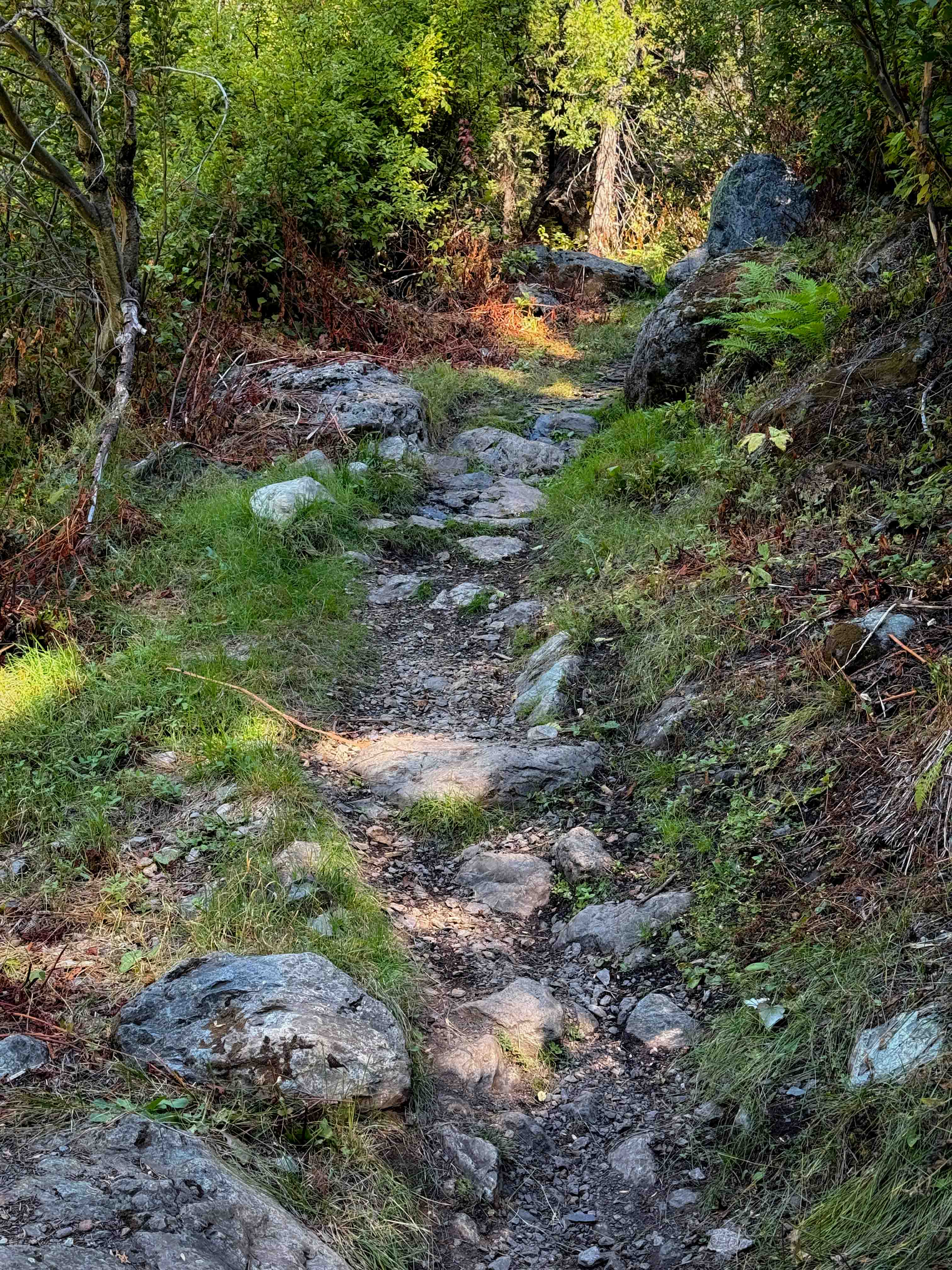
Trail Overview
This sandy and gravel trail cuts between BLM 137 and Shell Canyon Road, serving as a connector route. The trail has had to be altered because of private property and now goes along the fence line instead, following the property boundary. You'll enjoy good views of the Coyote Mountains as you navigate along the fence line, providing scenic compensation for the rerouted path.
Photos of BLM 139
Difficulty
This is an easy trail with straightforward navigation on sandy and gravel surface. The main consideration is following the altered route along the fence line to respect the private property boundary. The surface conditions are manageable and don't present technical challenges. Stay on the designated route along the fence.
Status Reports
BLM 139 can be accessed by the following ride types:
- High-Clearance 4x4
- SUV
- SxS (60")
- ATV (50")
- Dirt Bike
BLM 139 Map
Popular Trails
Pauley Creek
The onX Offroad Difference
onX Offroad combines trail photos, descriptions, difficulty ratings, width restrictions, seasonality, and more in a user-friendly interface. Available on all devices, with offline access and full compatibility with CarPlay and Android Auto. Discover what you’re missing today!