BLM 119
Total Miles
1.2
Technical Rating
Best Time
Spring, Fall, Winter
Trail Type
Full-Width Road
Accessible By
Trail Overview
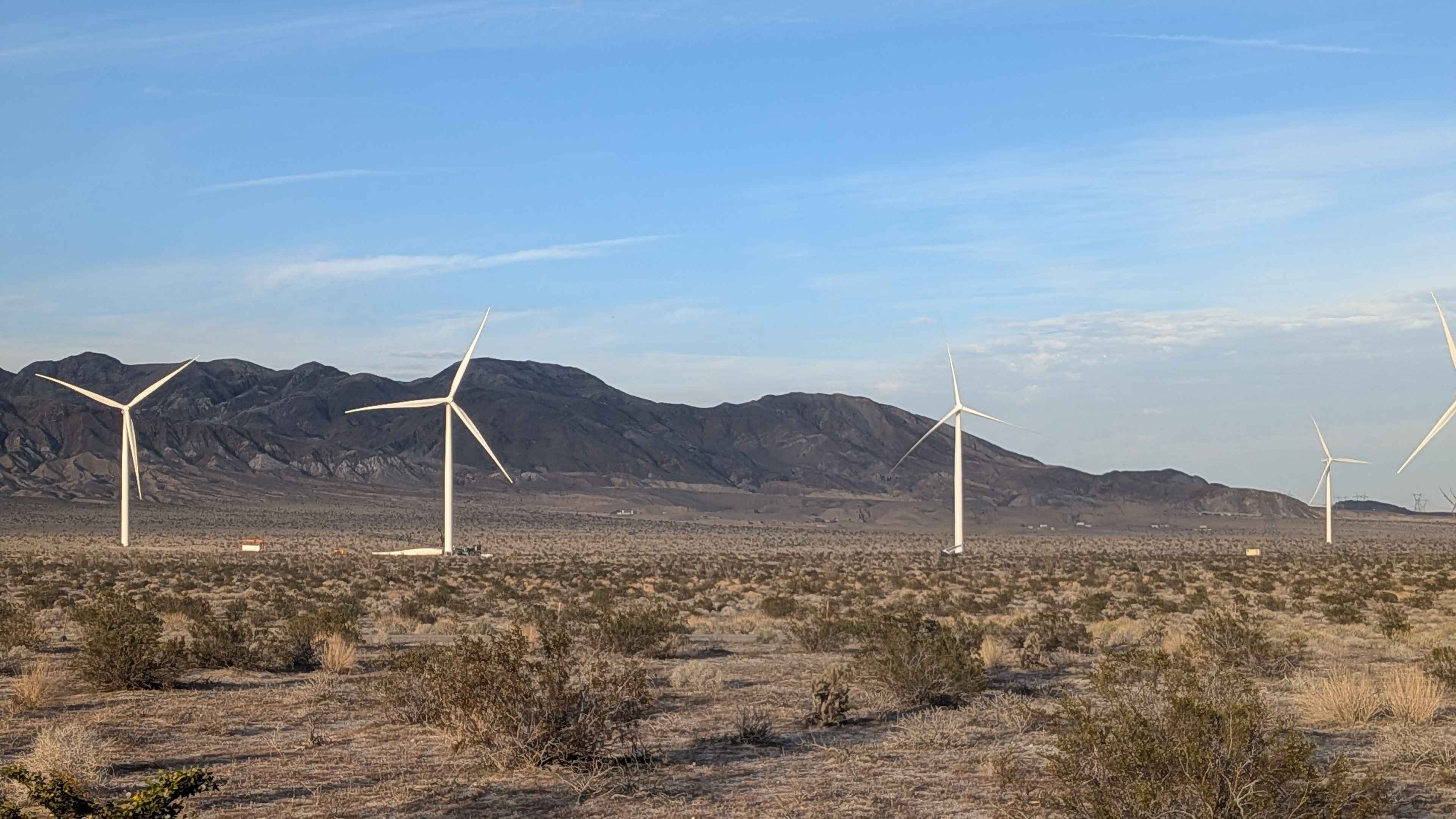
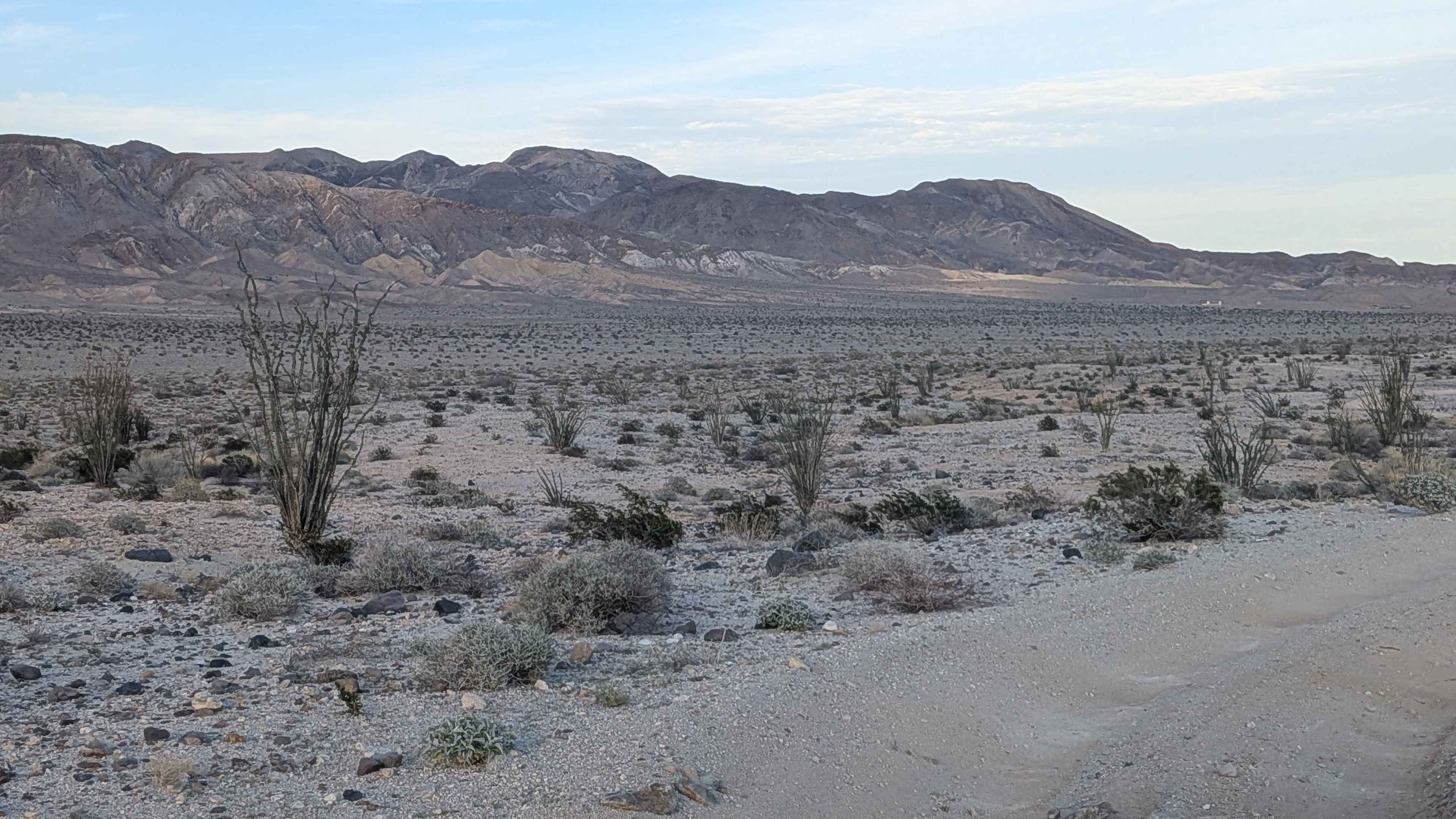
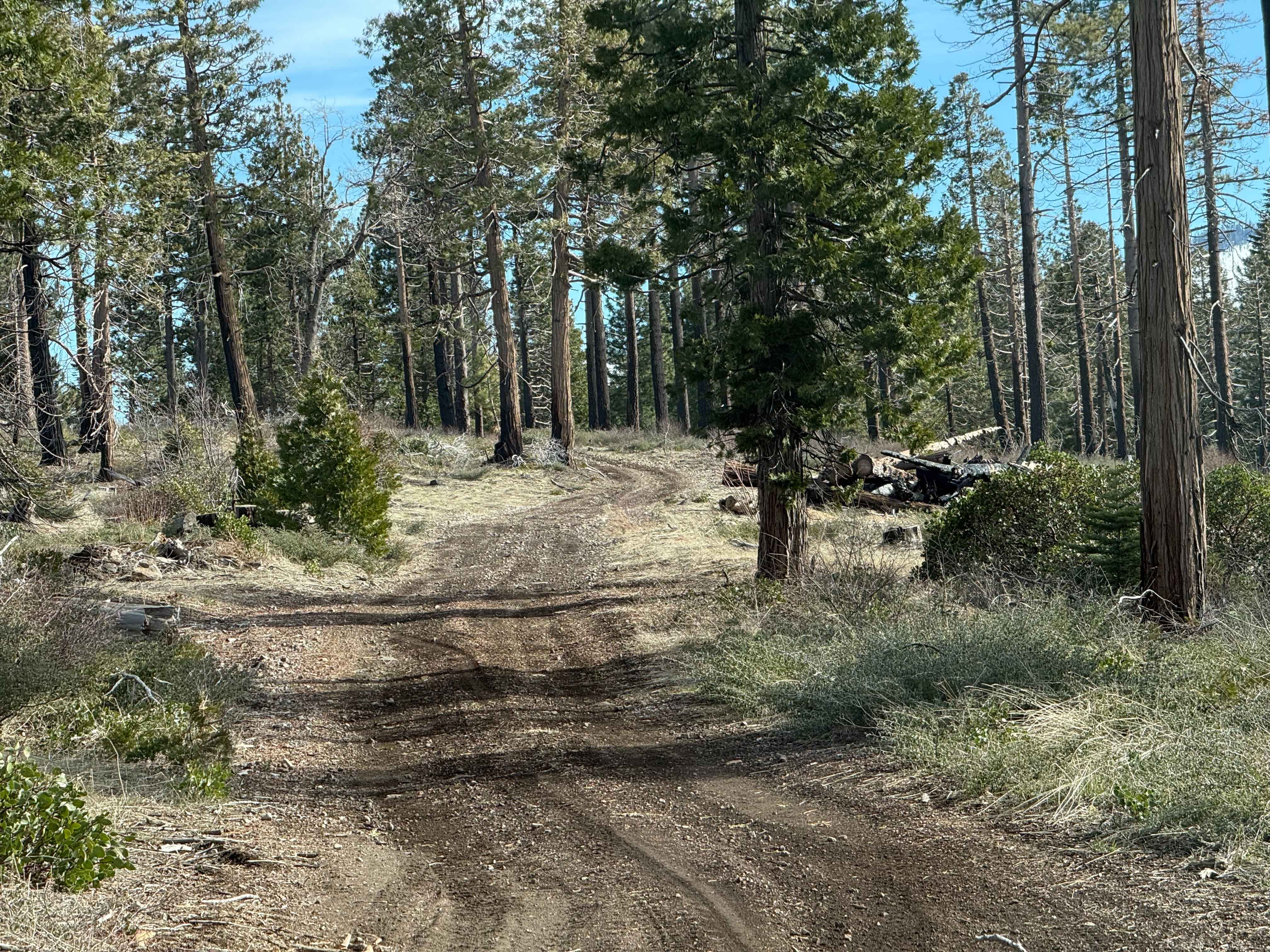
This one vehicle-wide trail starts at BLM 109 North and winds up and down through the desert, lined with ocotillo, sage, creosote, and other desert bushes, creating a vegetated corridor. The surface is mostly fine sand throughout, requiring constant momentum management. You'll encounter washboards, whoops, some small off-camber sections, and ruts, creating a varied and challenging surface. The area travels around a large number of mega power windmills that dominate the landscape. The trail travels north and south with the Coyote Mountains to the north and the Mexican mountains to the south, providing dramatic mountain views. To your west are Table Mountain and parts of Anza Borrego State Park, completing the scenic backdrop. The north side of BLM 119 is now a paved road leading to the Control Center for all the windmills.
Photos of BLM 119
Difficulty
The mostly fine sand requires four wheel drive, and airing down is essential for maintaining traction. The combination of washboards, whoops, small off-camber sections, and ruts creates a bumpy, technical ride throughout. The one vehicle width means less room for error and requires attention to oncoming traffic. The winding up and down nature adds elevation changes that demand momentum management. The paved section on the north side provides easier access to that end.
Status Reports
BLM 119 can be accessed by the following ride types:
- High-Clearance 4x4
- SUV
- SxS (60")
- ATV (50")
- Dirt Bike
BLM 119 Map
Popular Trails
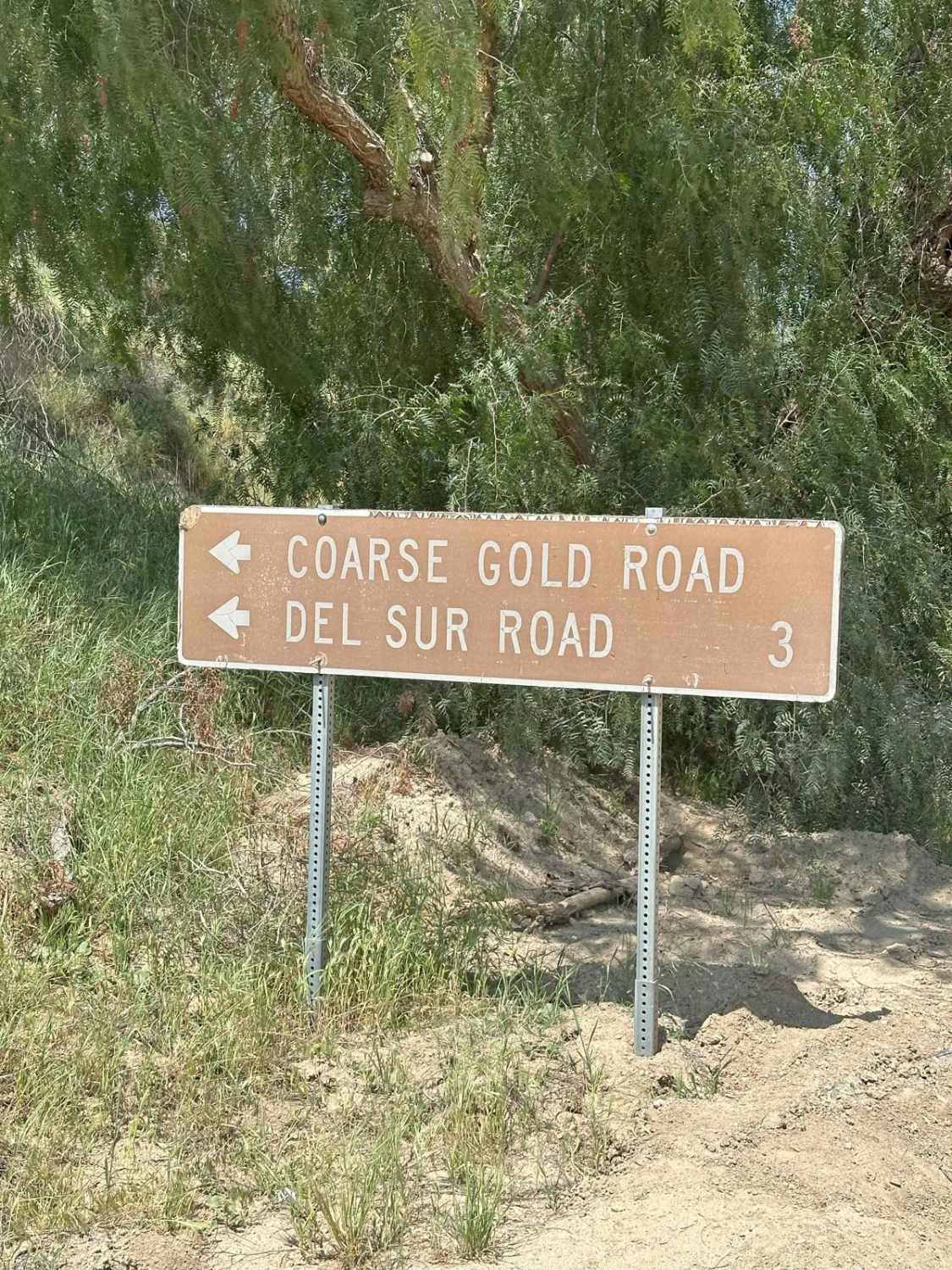
Coarse Gold Road 5N24

Grandview Mine Road - 7S129
The onX Offroad Difference
onX Offroad combines trail photos, descriptions, difficulty ratings, width restrictions, seasonality, and more in a user-friendly interface. Available on all devices, with offline access and full compatibility with CarPlay and Android Auto. Discover what you’re missing today!