21E244
Total Miles
1.7
Technical Rating
Best Time
Spring, Fall, Summer
Trail Type
50" Trail
Accessible By
Trail Overview
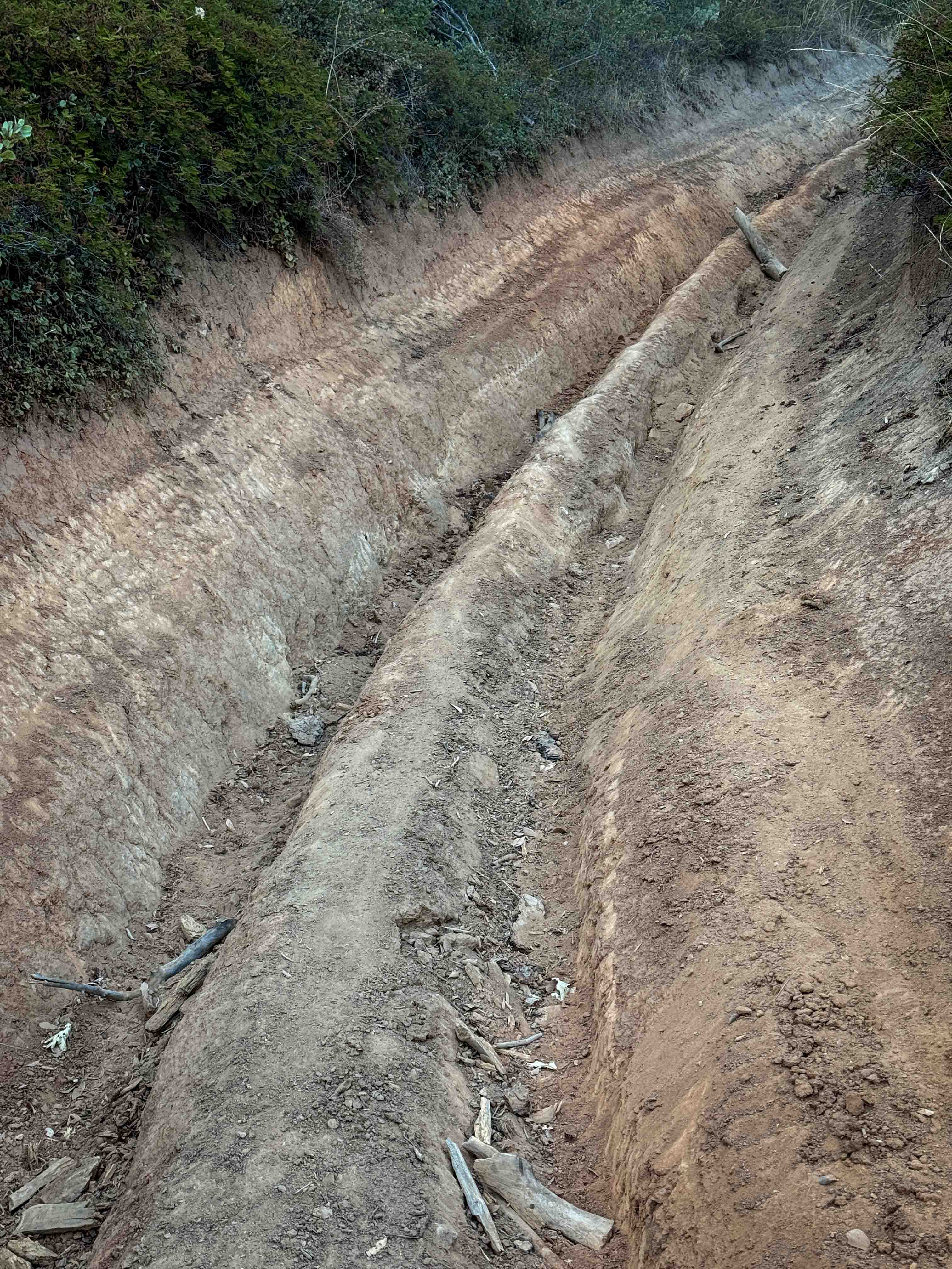
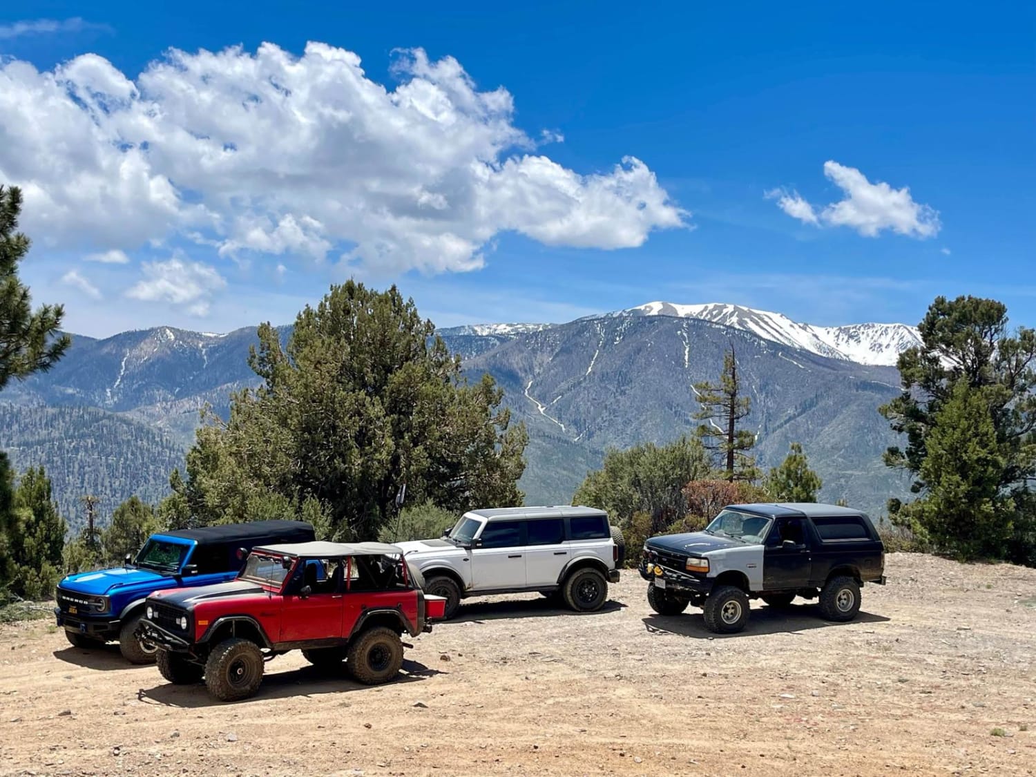
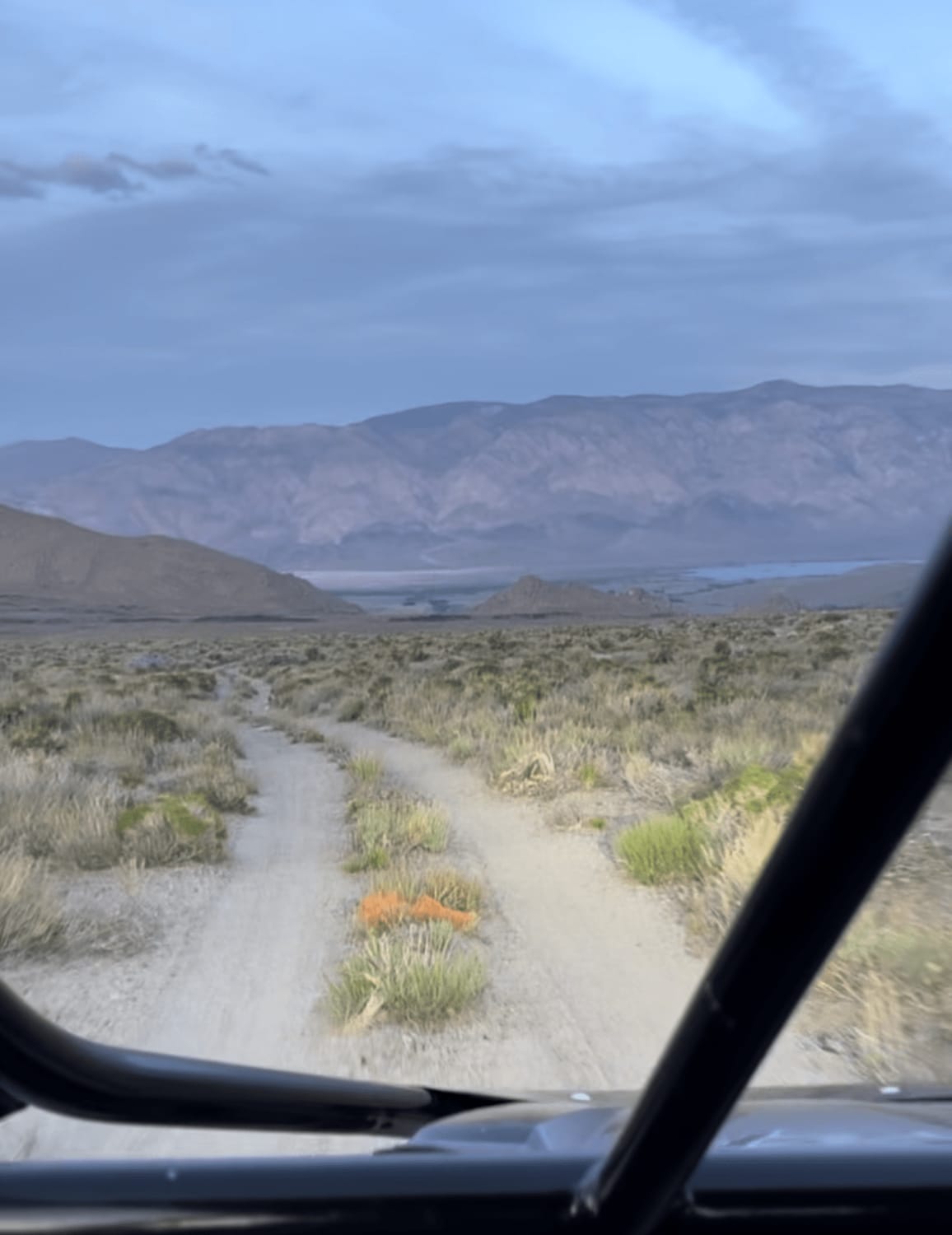
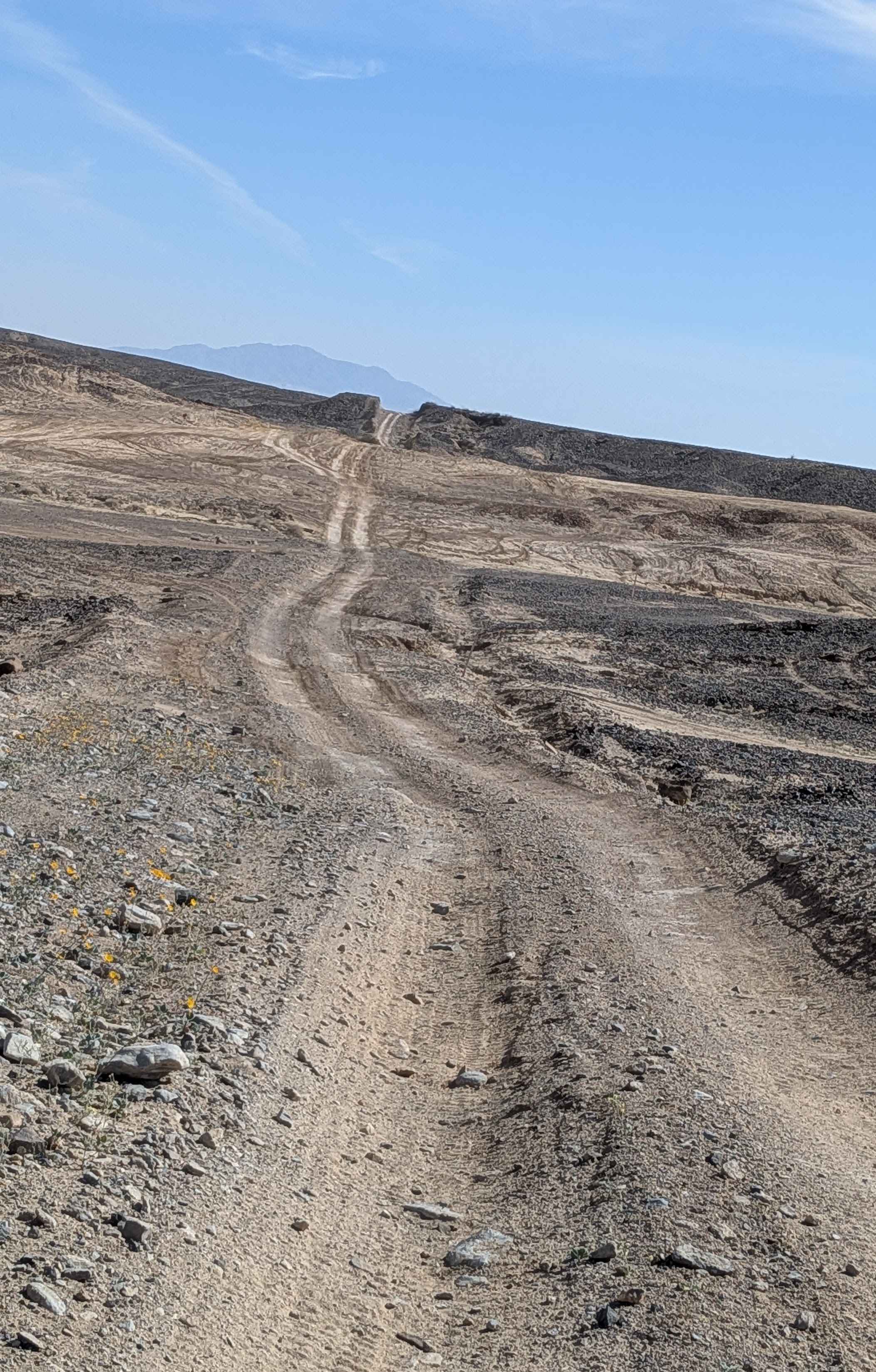
The north end of this trail starts out on a shelfy path curving around a hillside in a thick forested setting. The trail is smooth and gradual, and really scenic on the edge of the hill, lined with tall cedars and pines. At the intersection with 21E245, this trail turns south and gets more difficult with some deeper ruts and loose rocks. The first half mile was essentially flat, but then it drops almost 800 feet in elevation in the second half of the trail, making it quite steep. ATVs can straddle the ruts, but dirt bikes will have to pick the high points or get sucked into the troughs, which are pretty deep and sometimes filled with loose rocks. There are also a couple of small root ledges during the rutted sections that make it more moderate. It crosses Hugh Ryan Road (FS 6S024) at one point and ends at FS 6S041B.
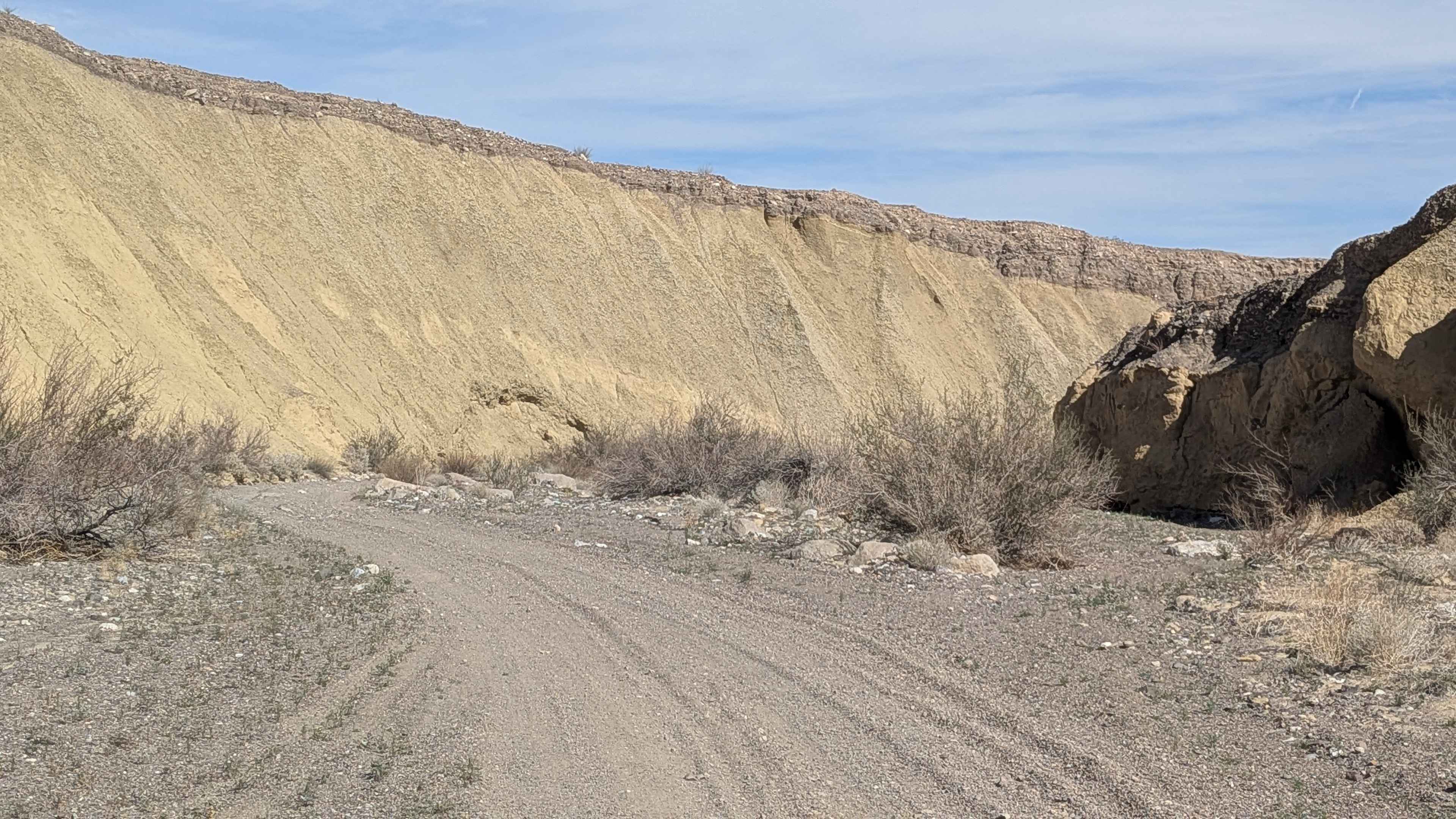
Photos of 21E244

Difficulty
This is an intermediate rating due to deep troughs and small root ledges in the southern half of the trail. The northern half of the trail is about a 2 in difficulty as it is smooth and flat with no obstacles.
Status Reports
21E244 can be accessed by the following ride types:
- ATV (50")
- Dirt Bike
21E244 Map
Popular Trails
Wildhorse Meadow - 2N93
Crater Mountain Loop
Hidden Canyon
The onX Offroad Difference
onX Offroad combines trail photos, descriptions, difficulty ratings, width restrictions, seasonality, and more in a user-friendly interface. Available on all devices, with offline access and full compatibility with CarPlay and Android Auto. Discover what you’re missing today!