21E237
Total Miles
0.6
Technical Rating
Best Time
Spring, Fall, Summer
Trail Type
50" Trail
Accessible By
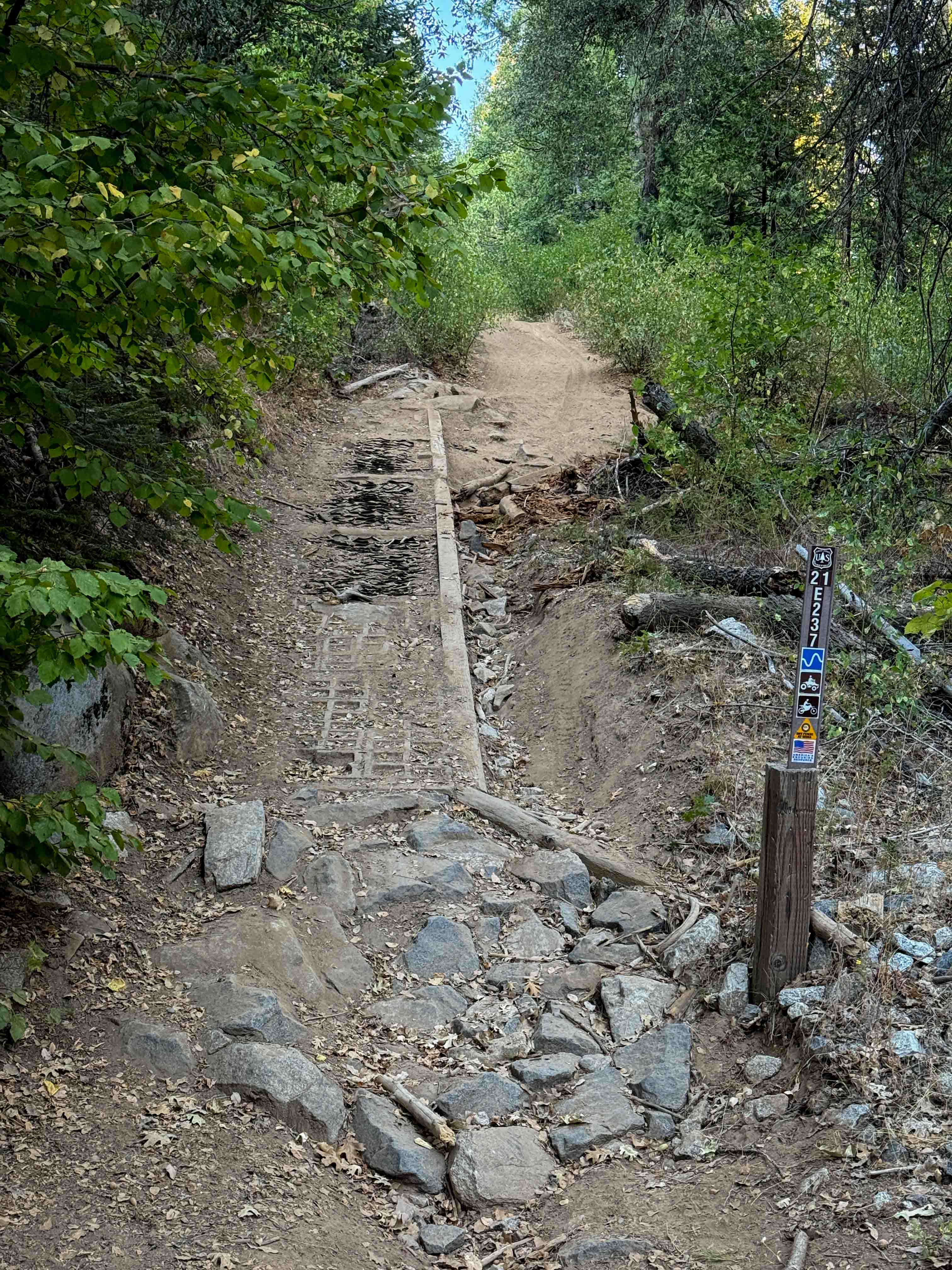
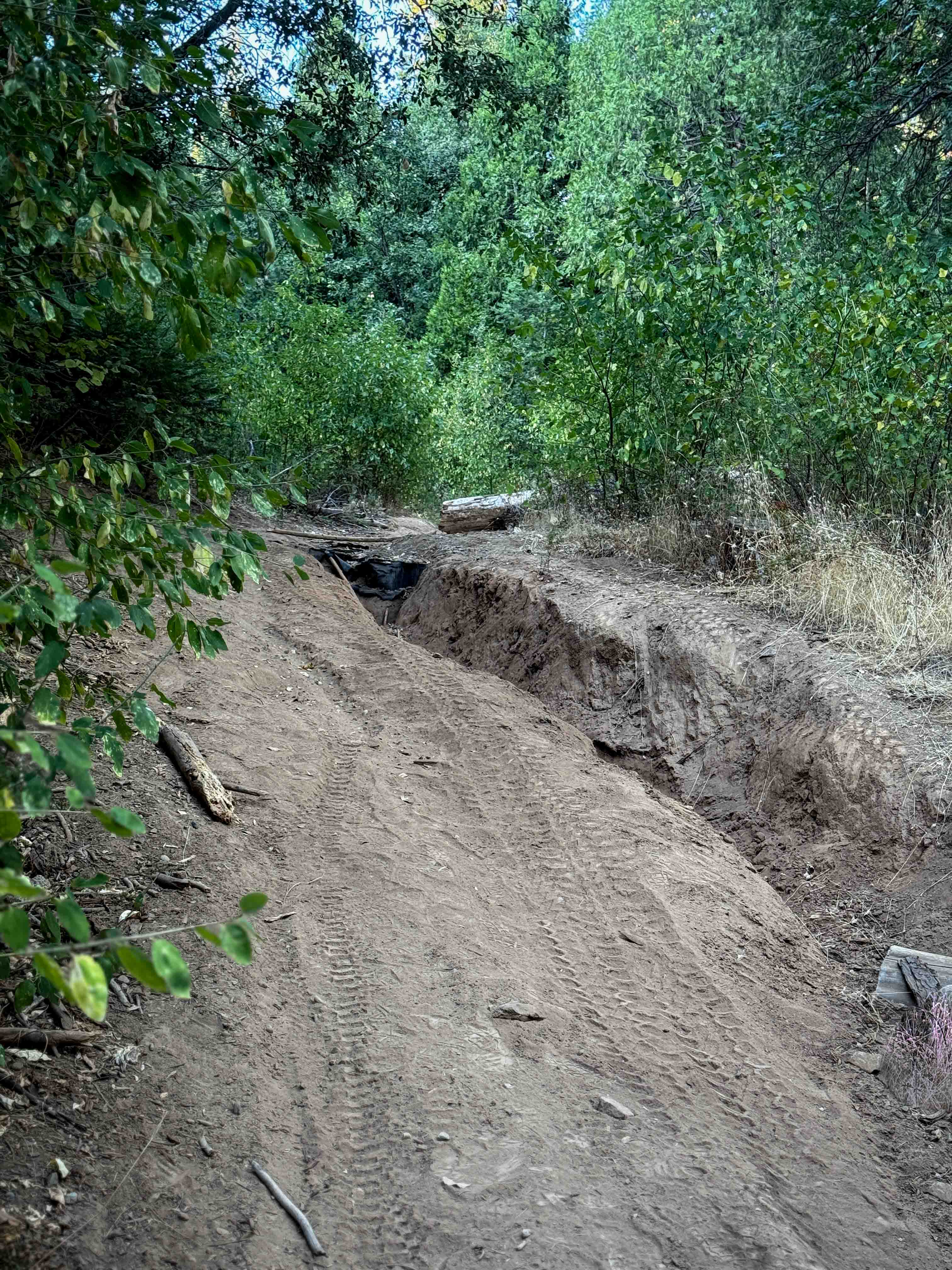
Trail Overview
This is a moderate ATV trail that starts off on the south end with a steep incline up a pile of rocks and a reinforced slope. There is a deep trough on one side of the trail filled in with rocks and cut logs. After the initial hill, there are a few more sections with embedded and loose rocks, and deep ruts that ATVs will have to straddle, and dirt bikes will want to avoid by staying on the high points. Some of the ruts cross over the trail sporadically, making it difficult to maintain a steady line, and you might get cross-rutted. The trail is pretty steep the entire 0.6 miles, gaining almost 500 feet in elevation. The trail mellows out near the north end and goes underneath a canopy of trees, with more shade and some fun curves. The north end ends on Hugh Ryan Road (FS 6S024).
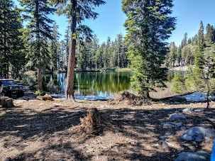
Photos of 21E237
Difficulty
This is a moderate ATV trail due to extreme rutting. There are deep troughs all throughout the route, making it more technical.
Status Reports
21E237 can be accessed by the following ride types:
- ATV (50")
- Dirt Bike
21E237 Map
Popular Trails

Packard Canyon Road
Redonda Ridge - FS 1W17
Smith Ridge - FS 1S28
Ellis Lake Trail
The onX Offroad Difference
onX Offroad combines trail photos, descriptions, difficulty ratings, width restrictions, seasonality, and more in a user-friendly interface. Available on all devices, with offline access and full compatibility with CarPlay and Android Auto. Discover what you’re missing today!