16EV109
Total Miles
1.5
Technical Rating
Best Time
Spring, Fall
Trail Type
Single Track
Accessible By
Trail Overview
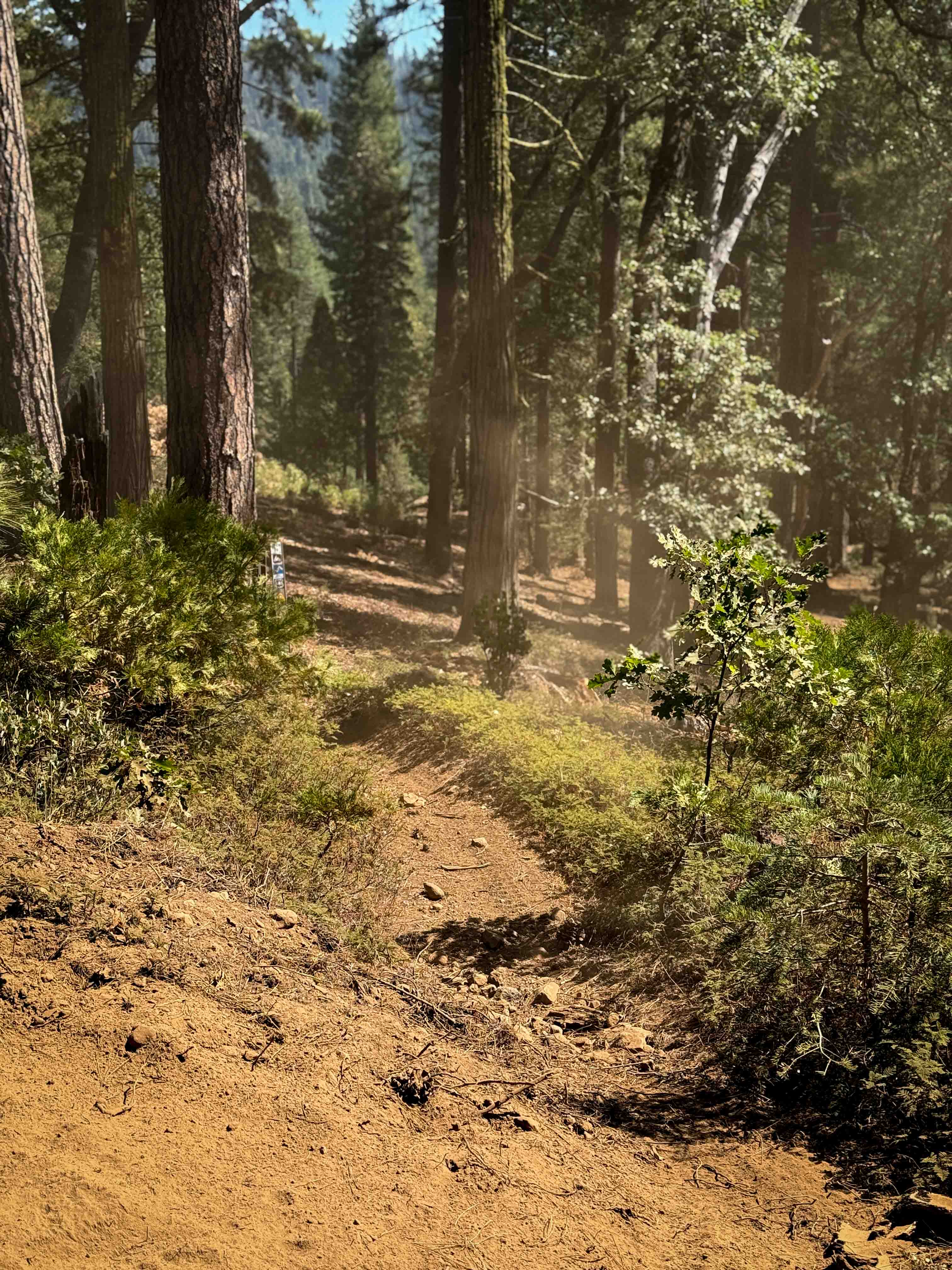
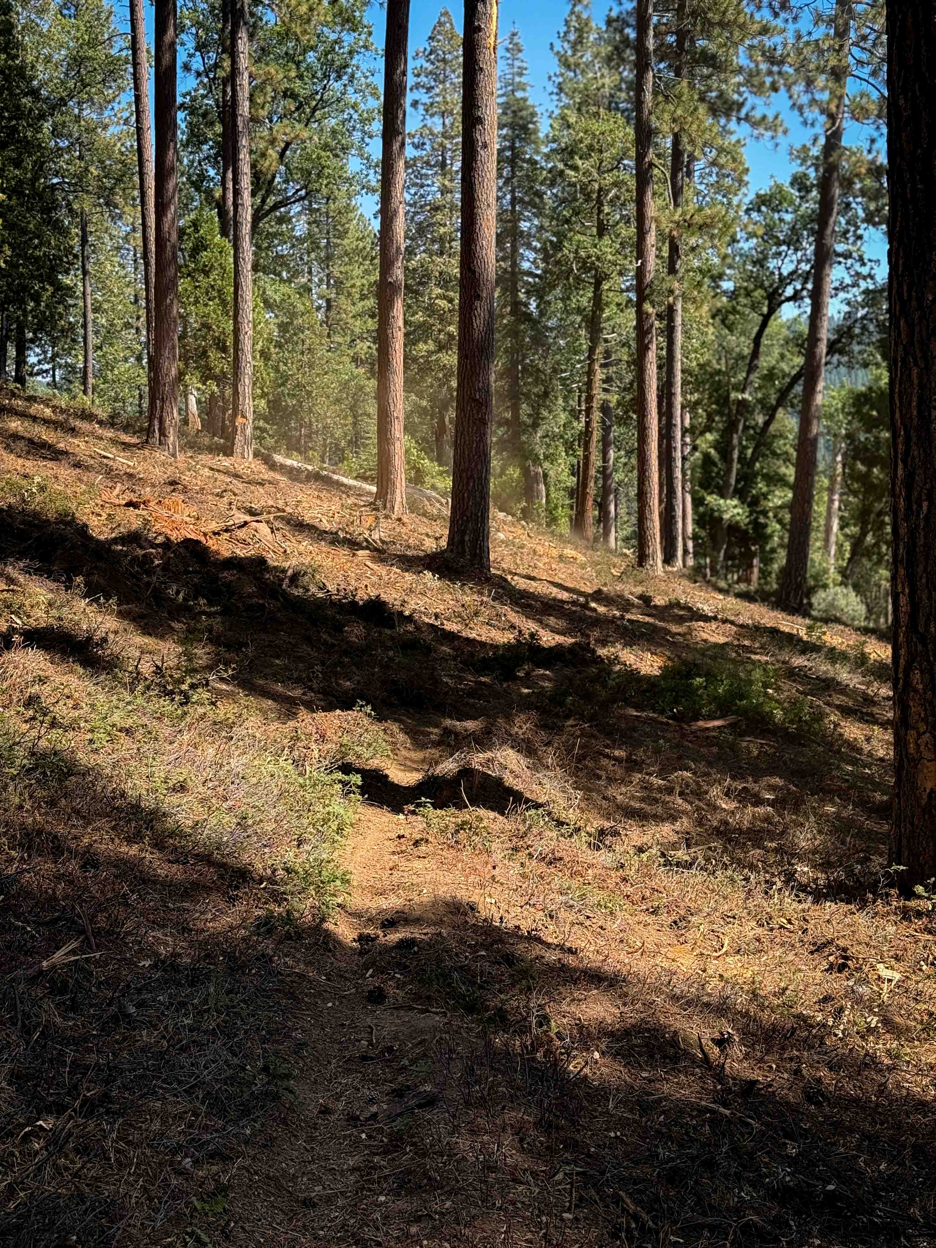
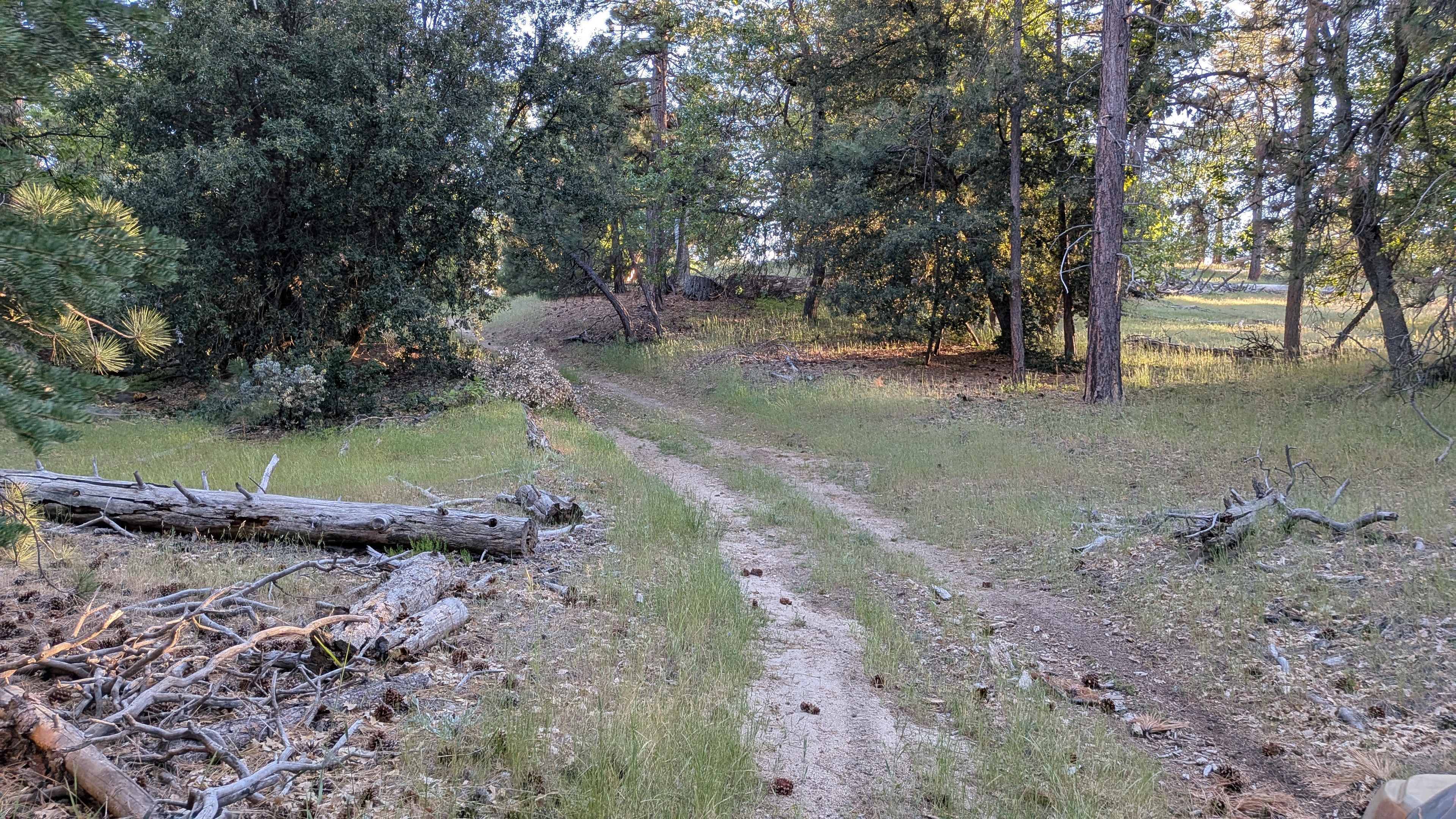
The southern end of this trail is marked with a trail sign at the entrance, but it immediately goes through a forested area that has been logged, so the hillside is mostly full of mulch and debris, which makes the trail difficult to follow. The hillside is extremely loose, silty, and hard to maintain traction on. The trail essentially cuts across the hillside until it meets up with a wide section of silty dirt road where the trail used to be. Then it goes through a section with loose rock on a dry grassy hillside with jagged embedded rock surfaces. Eventually, it goes into the forest again on a narrow singletrack that curves tightly through the vegetation with a couple of log crossings. It descends through the forest with tight curves, roots, and loose rock. Once you are out of the logged area, the trail is much easier to follow and is well defined. It sidehills along a hillside until the intersection with 16EV302, which is where it also bails out to the FS Road 3N35. This trail is seasonally closed 12/16 - 4/14 to motorized use.
Photos of 16EV109
Difficulty
The western half of this trail is difficult to find and is extremely loose because it has been mowed down by forestry work, causing the trail to go through hillsides of mulch and silt. The eastern half is more defined and forested, with a couple of log crossings.
Status Reports
16EV109 can be accessed by the following ride types:
- Dirt Bike
16EV109 Map
Popular Trails

Cross Over Trail
John Bull Trail
Lone Star - FS 26S24
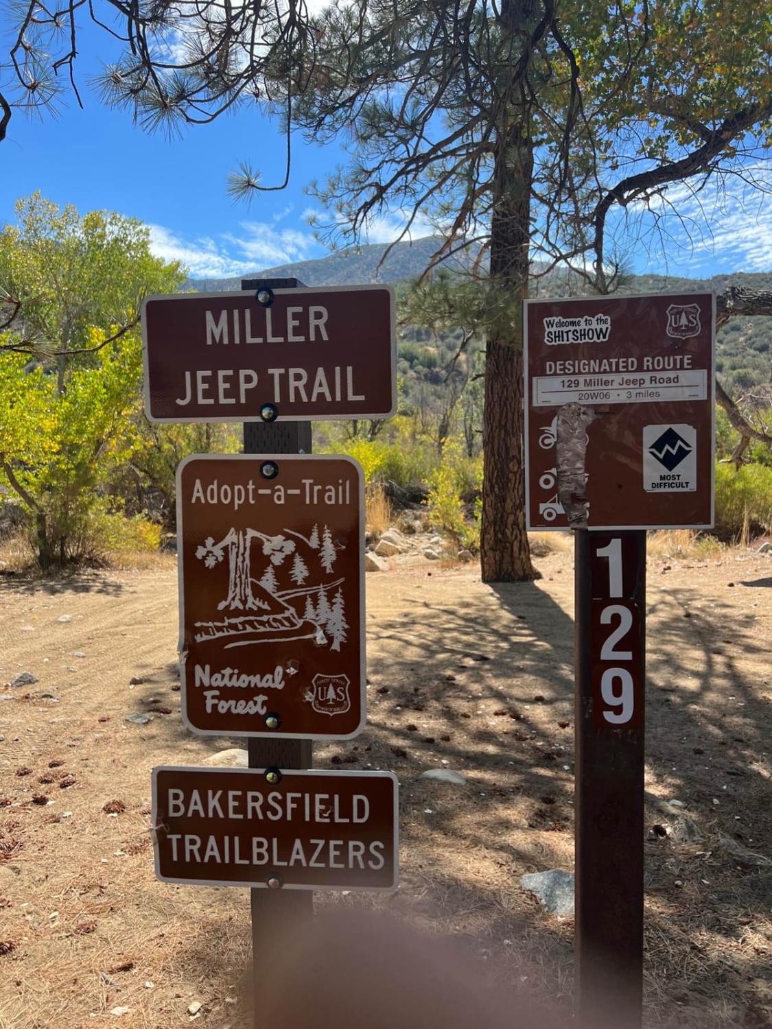
Miller Jeep Trail - 20W06
The onX Offroad Difference
onX Offroad combines trail photos, descriptions, difficulty ratings, width restrictions, seasonality, and more in a user-friendly interface. Available on all devices, with offline access and full compatibility with CarPlay and Android Auto. Discover what you’re missing today!