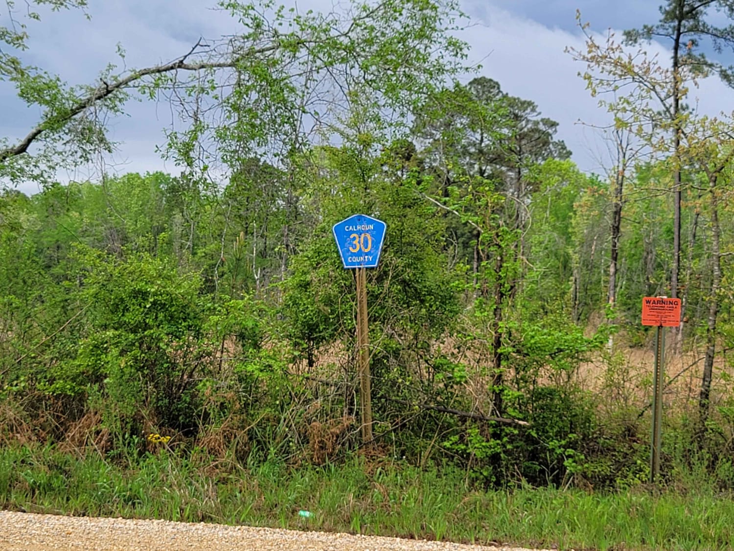
The Arkansas Overland Route - Section 11 - County Road 30 and 32
Total Miles
5.0
Technical Rating
Best Time
Spring, Summer, Fall, Winter
Trail Type
Full-Width Road
Accessible By
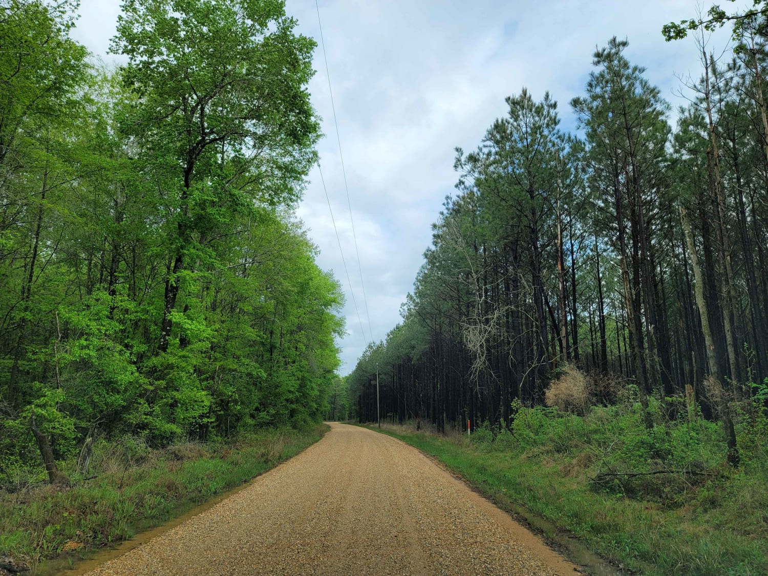
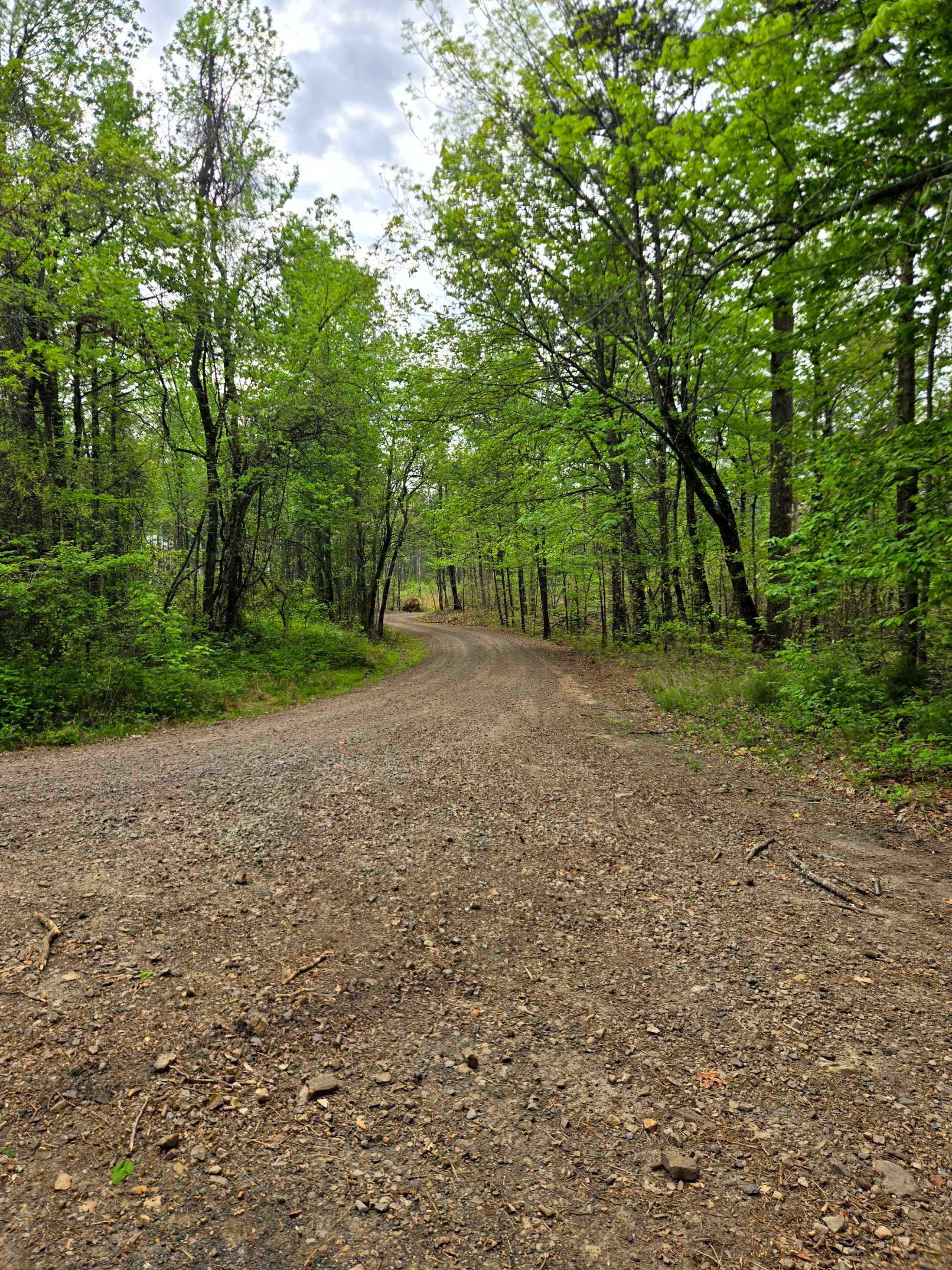
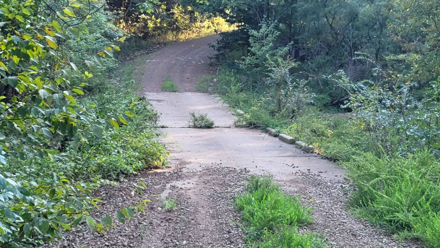
Trail Overview
This is Section 11 of The Arkansas Overland Route. This section is gravel and dirt roads and ends at a deer camp. The road continues on, but after rain, it is all mud and a narrow track. After and during rains, these roads can be messy and have water across them. Some washed-out holes can be deep, so travel with caution. Watch for wildlife to cross the roads.
Photos of The Arkansas Overland Route - Section 11 - County Road 30 and 32
Difficulty
This is all gravel that can be messy during or after rain with water across the roads in some areas.
Status Reports
The Arkansas Overland Route - Section 11 - County Road 30 and 32 can be accessed by the following ride types:
- High-Clearance 4x4
- SUV
The Arkansas Overland Route - Section 11 - County Road 30 and 32 Map
Popular Trails

Buck Valley

McConnell Ridge
Cumberland Road
The onX Offroad Difference
onX Offroad combines trail photos, descriptions, difficulty ratings, width restrictions, seasonality, and more in a user-friendly interface. Available on all devices, with offline access and full compatibility with CarPlay and Android Auto. Discover what you’re missing today!