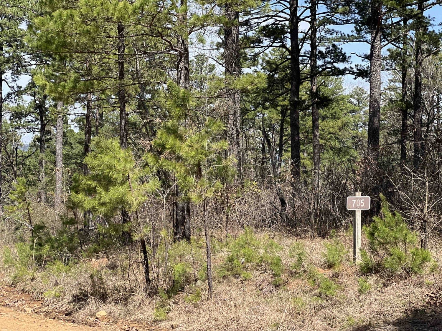
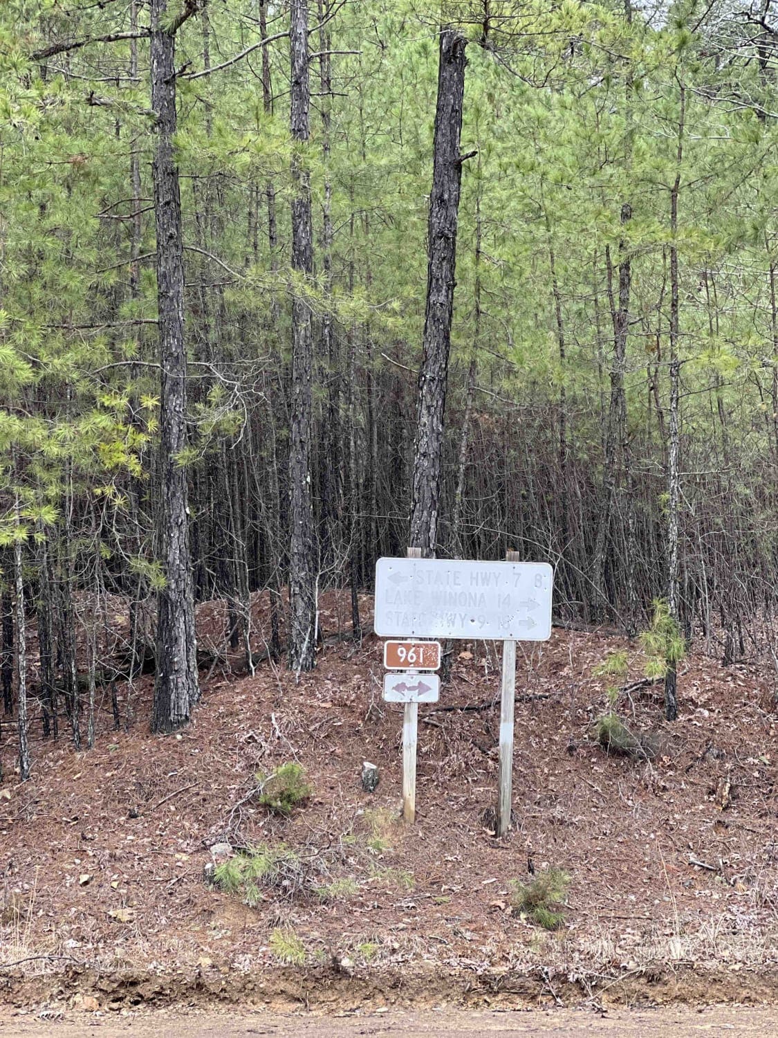
Taylor Branch 705
Total Miles
6.0
Technical Rating
Best Time
Spring, Fall, Winter
Trail Type
High-Clearance 4x4 Trail
Accessible By
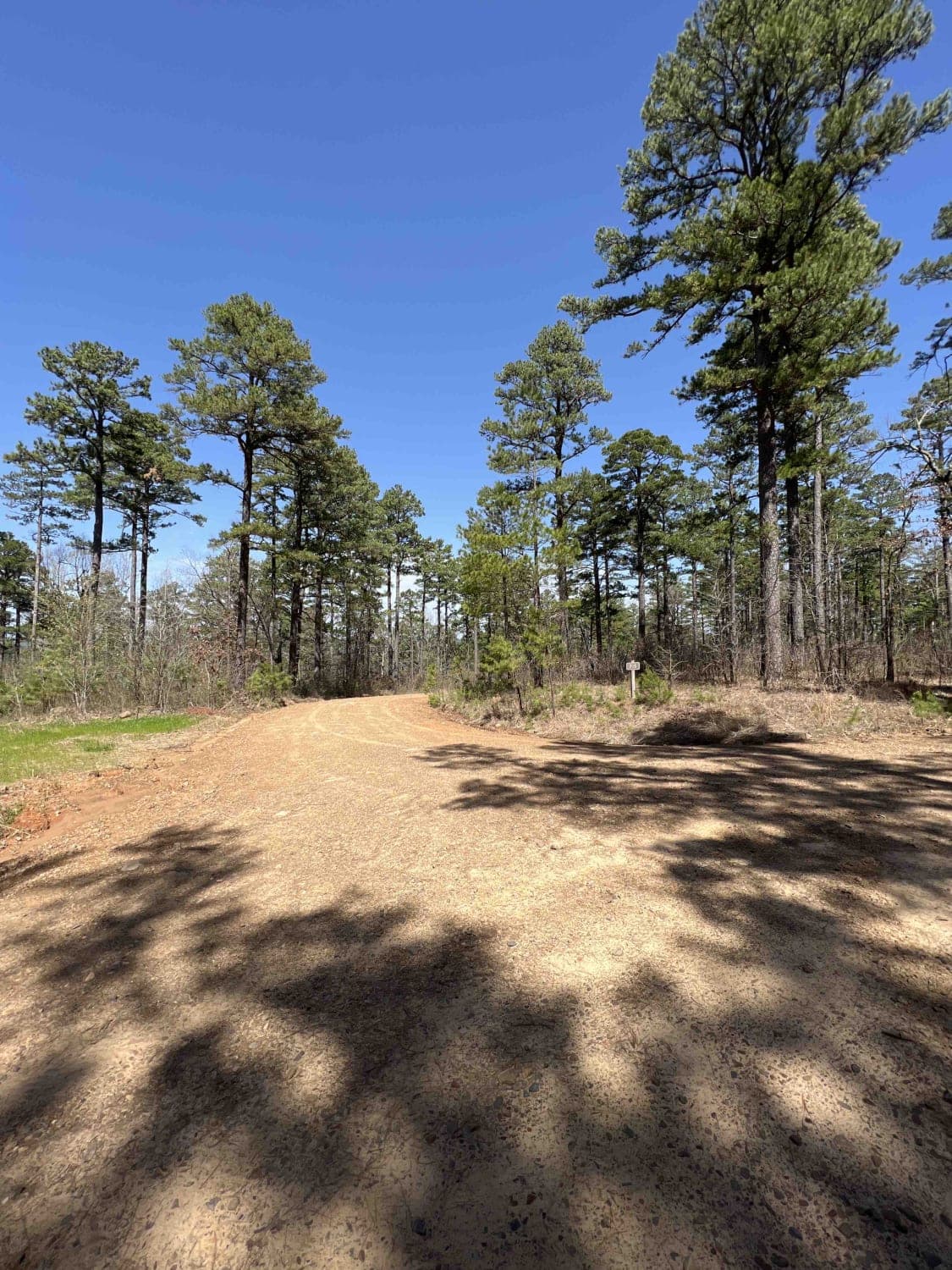
Trail Overview
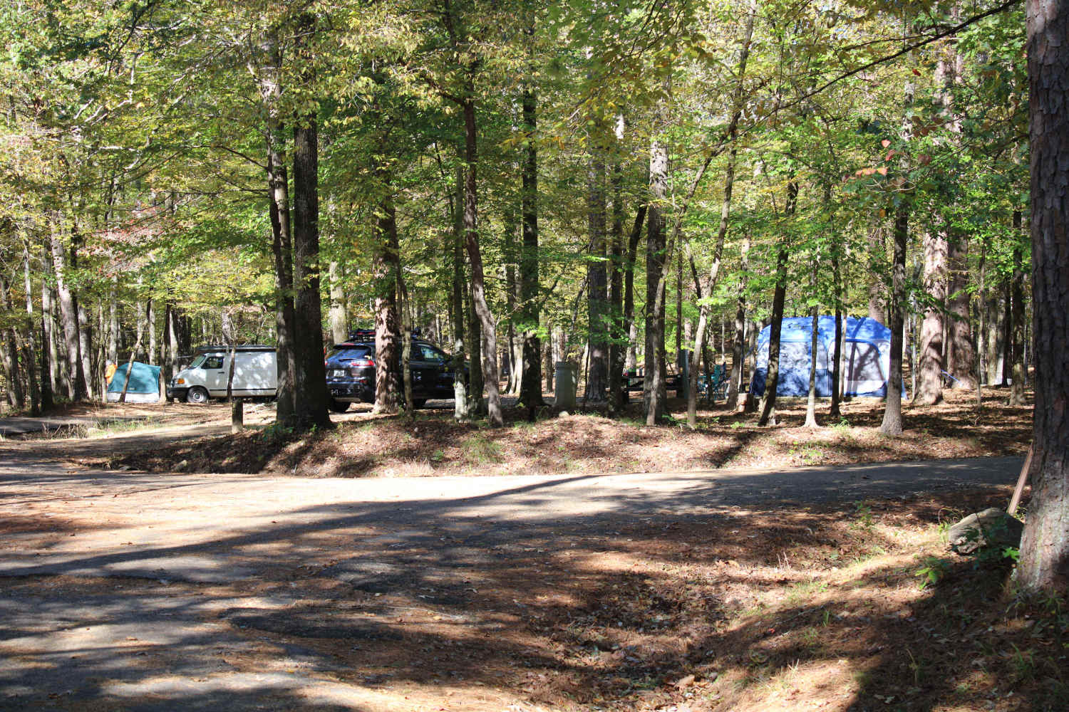
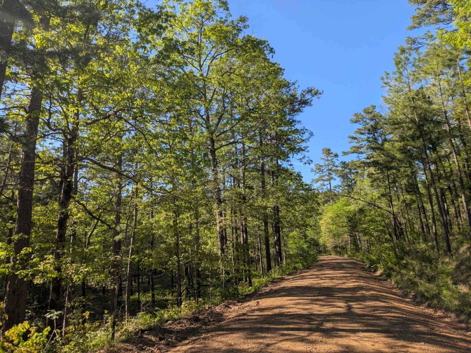
Taylor Branch is a nice difficult 4x4 road, especially at the end. Lots of pinstripes at the end and is not passable all the way. It looks as if it goes through all the way but it's not wide enough for a Tacoma. I spotted a few big turkeys in this area that flew across the road. There is cell phone service. I found a rather large campsite that had wood already cut at the camp. It was a beautiful spot to stop and have lunch. There are a couple of areas where the road has been washed out which requires a high-clearance vehicle to maneuver through the washout.
Photos of Taylor Branch 705
Difficulty
Very large washed out areas that require high clearance vehicles, road is not passable by a Tacoma at the North East end of the trail.
Status Reports
Taylor Branch 705 can be accessed by the following ride types:
- High-Clearance 4x4
- SxS (60")
- ATV (50")
Taylor Branch 705 Map
Popular Trails
Alum Experiment Road 962

Gap Hollow Loop
Shady Lake - Crooked Creek Falls
Jones Creek Road
The onX Offroad Difference
onX Offroad combines trail photos, descriptions, difficulty ratings, width restrictions, seasonality, and more in a user-friendly interface. Available on all devices, with offline access and full compatibility with CarPlay and Android Auto. Discover what you’re missing today!