Route 4
Total Miles
4.0
Technical Rating
Best Time
Spring, Summer, Winter, Fall
Trail Type
Full-Width Road
Accessible By
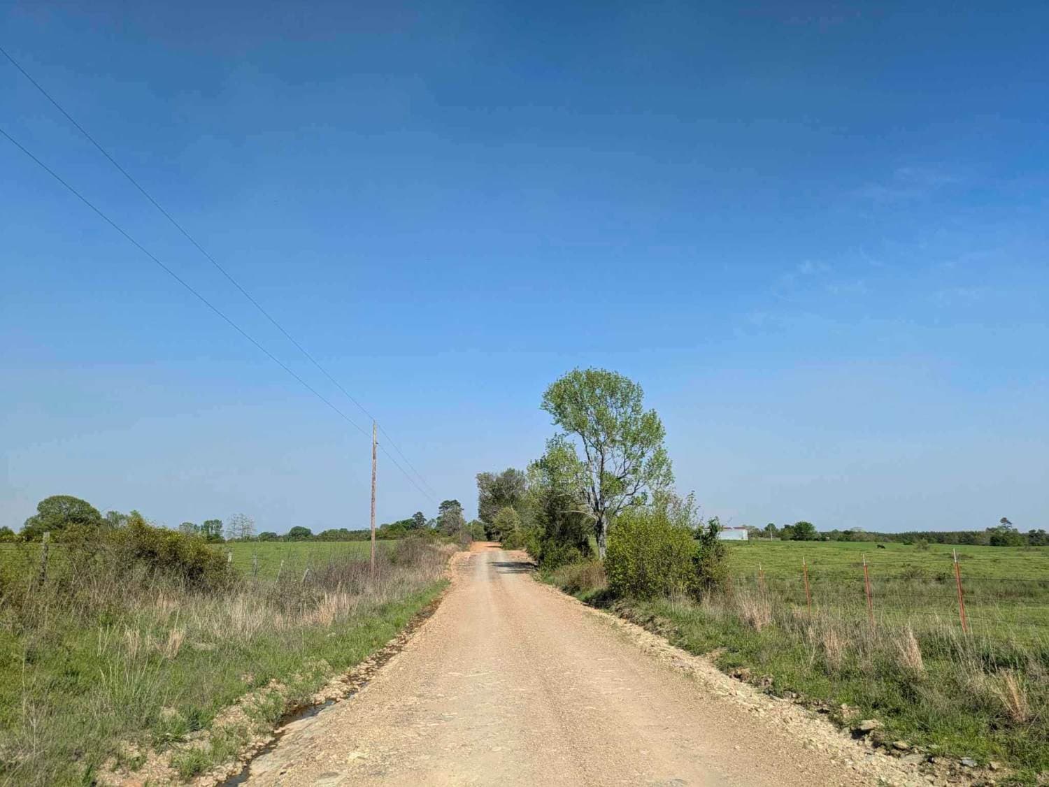
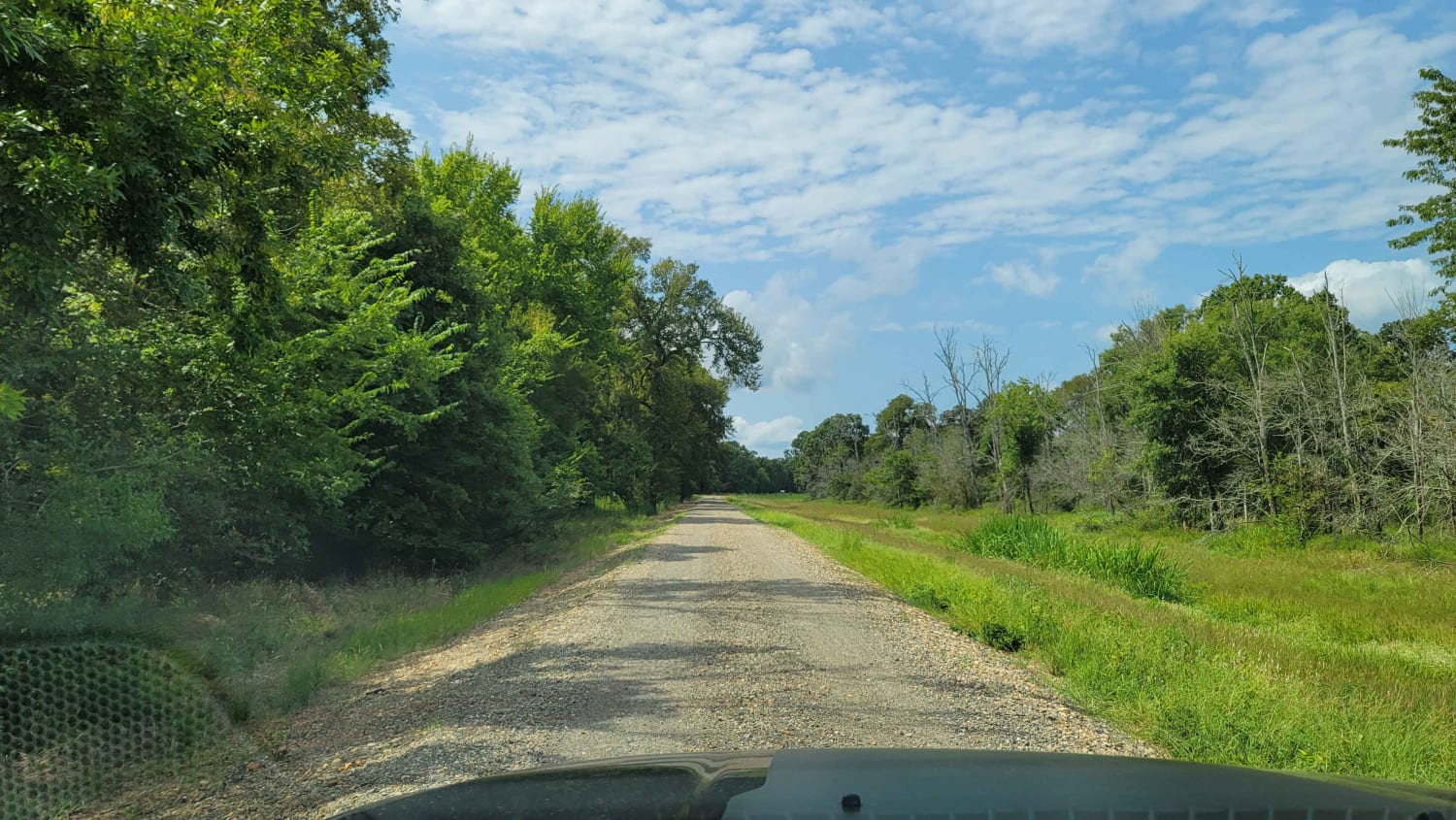
Trail Overview
This trail isn't maintained, but locals use it often to get between Wickes and Vandervoort, so it stays pretty passable. It's a bit rough in spots, and we had to clear a fallen tree when we went through. There's a river crossing with super clear water--perfect for a quick dip or to cool off your feet. The trail doesn't go all the way through on the west end; it runs into private land and stops, so most people use it as a way to link up with the Backbone Trail. There are no amenities out here--no water, no trash bins--so be ready to pack everything in and out. This is a great little route if you're looking for a quiet shortcut with a bit of adventure.
Photos of Route 4

Difficulty
This trail is not maintained or graded regularly, but is used by local landowners in the area. There was a fallen tree blocking the road, but it was easy to clear.
Status Reports
Route 4 can be accessed by the following ride types:
- High-Clearance 4x4
- SUV
- SxS (60")
- ATV (50")
- Dirt Bike
Route 4 Map
Popular Trails
Tower Ends at Private Fishing Club
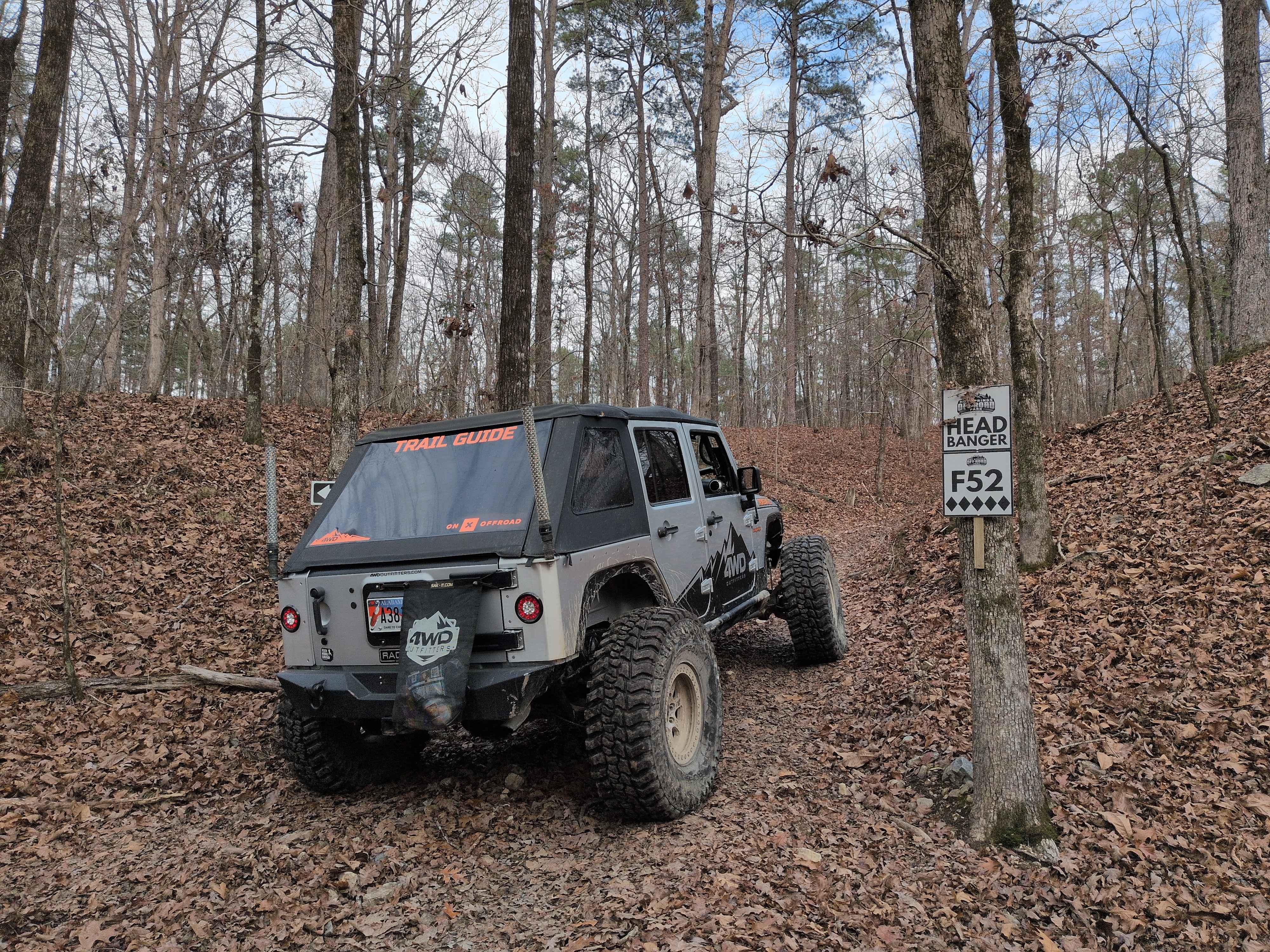
F52 Head Banger
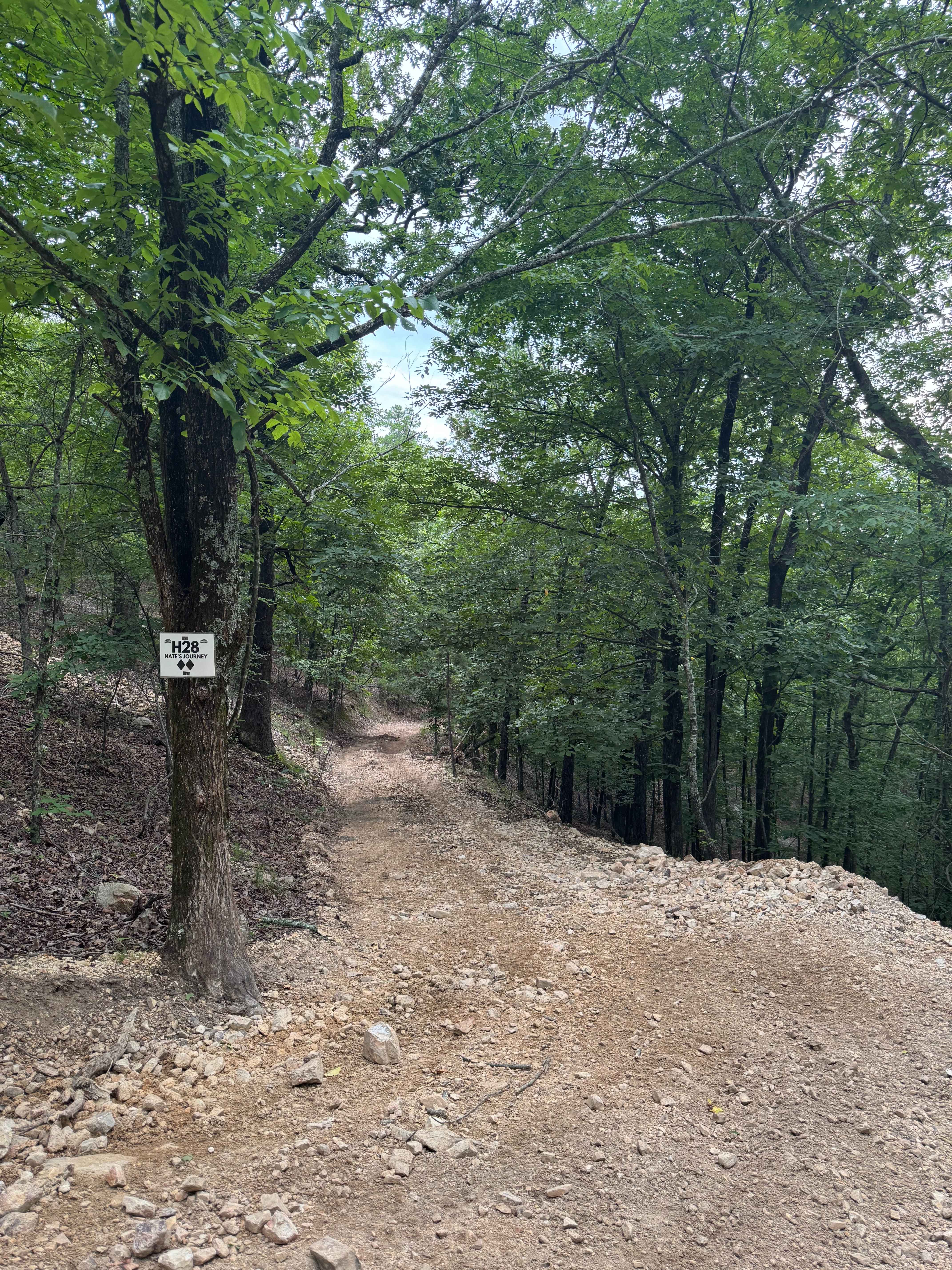
H28 Nate's Journey

The onX Offroad Difference
onX Offroad combines trail photos, descriptions, difficulty ratings, width restrictions, seasonality, and more in a user-friendly interface. Available on all devices, with offline access and full compatibility with CarPlay and Android Auto. Discover what you’re missing today!