NFS 93052A Baker
Total Miles
2.9
Technical Rating
Best Time
Spring, Fall, Winter
Trail Type
High-Clearance 4x4 Trail
Accessible By
Trail Overview
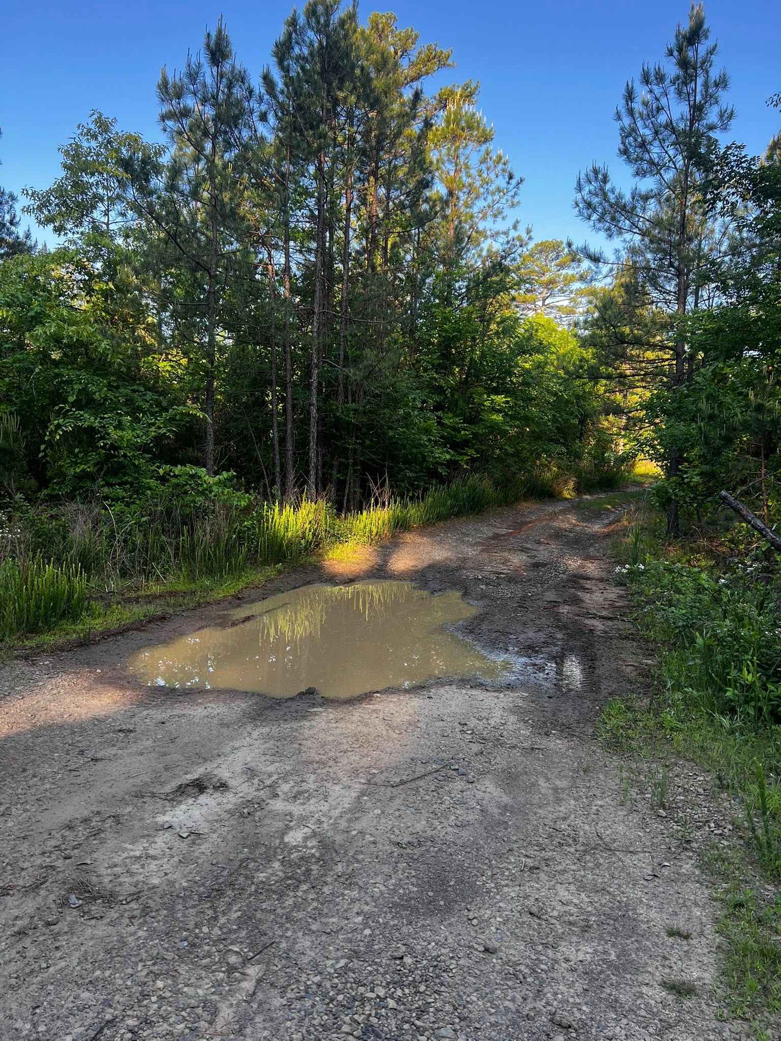
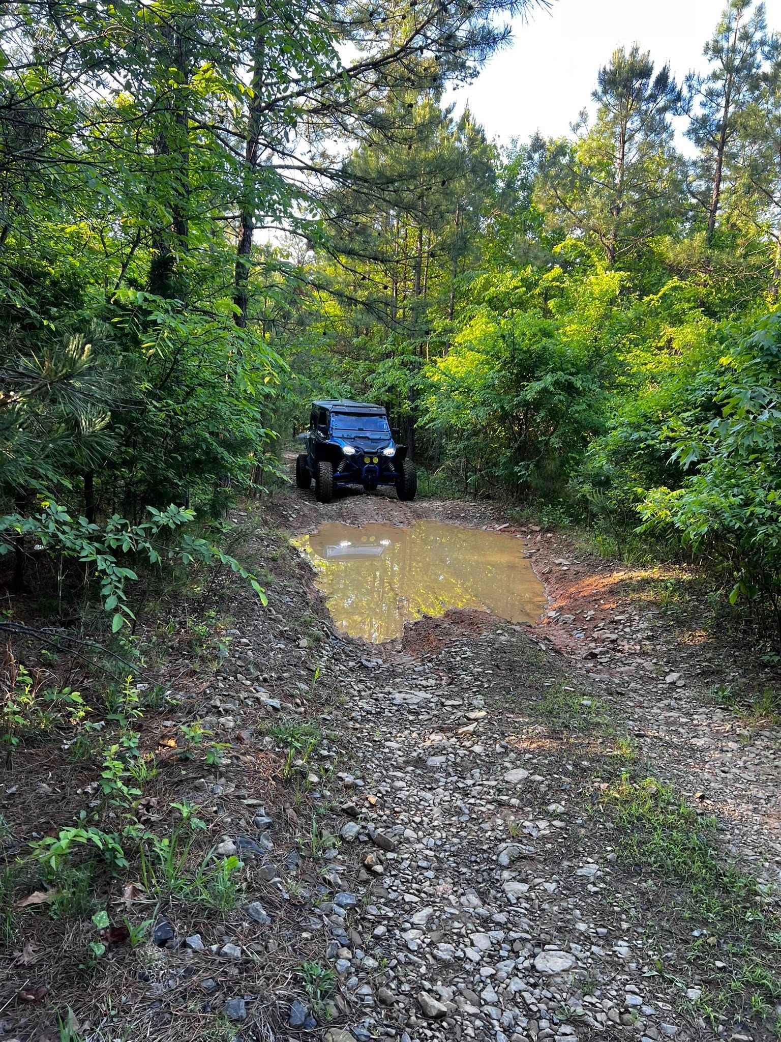
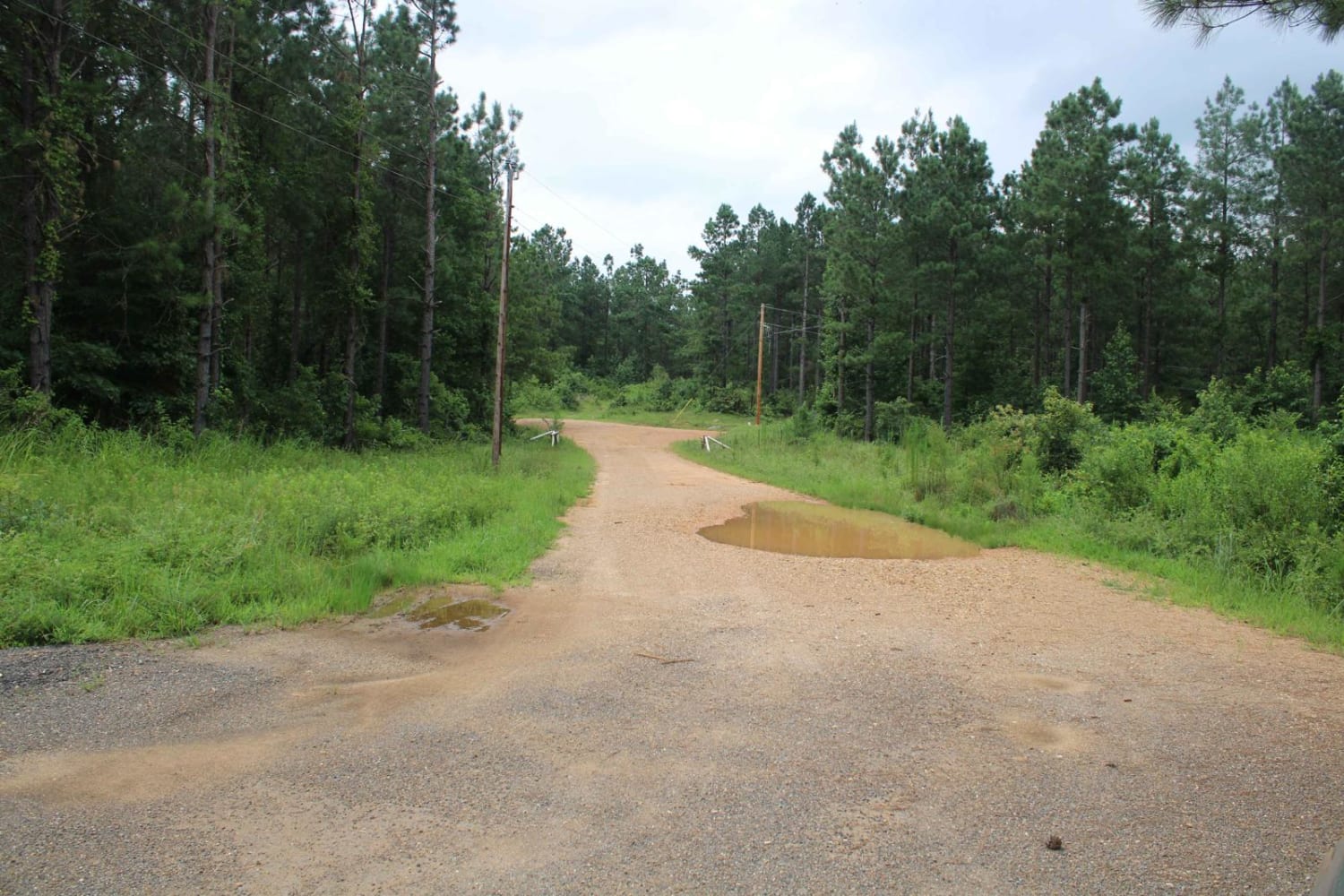
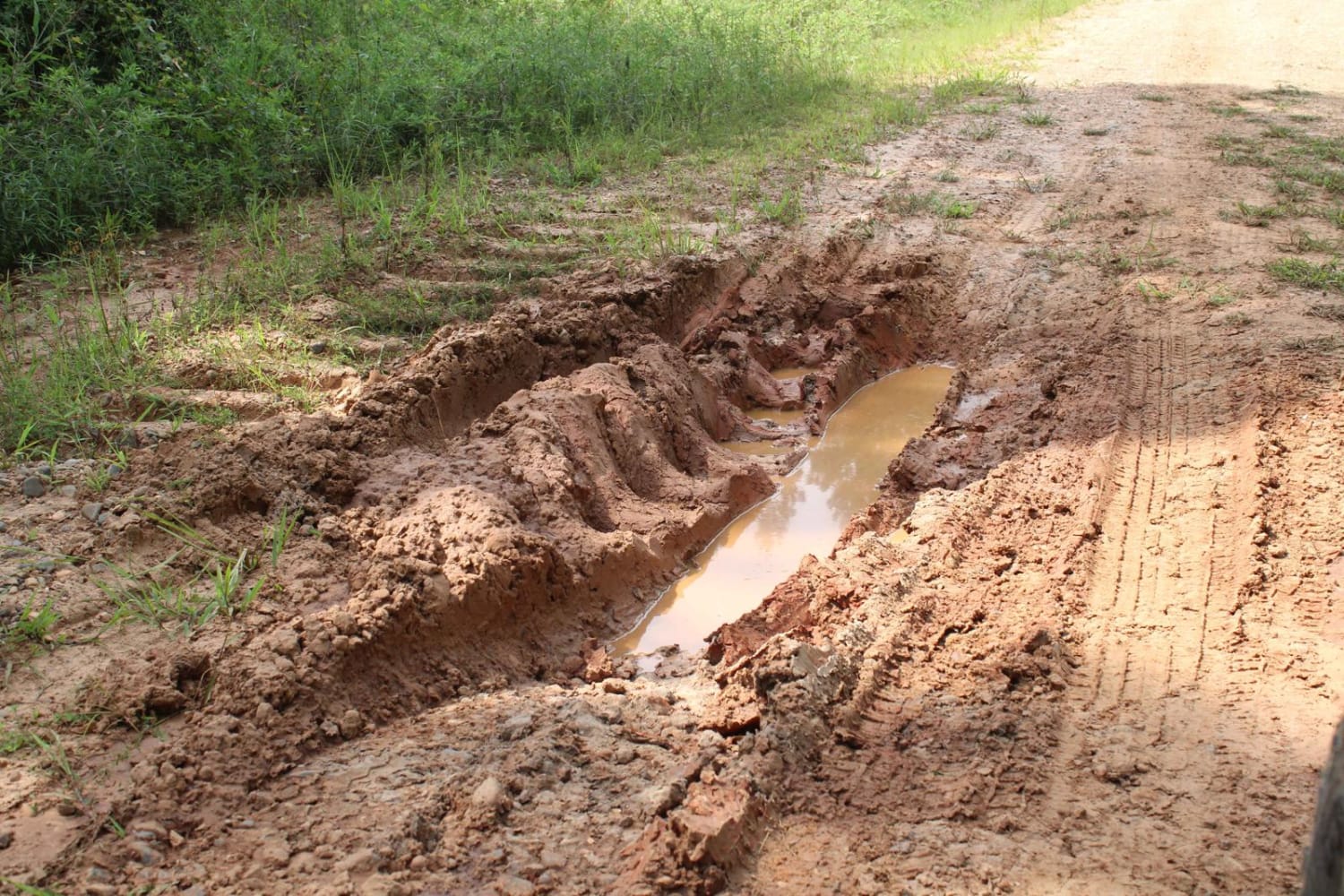
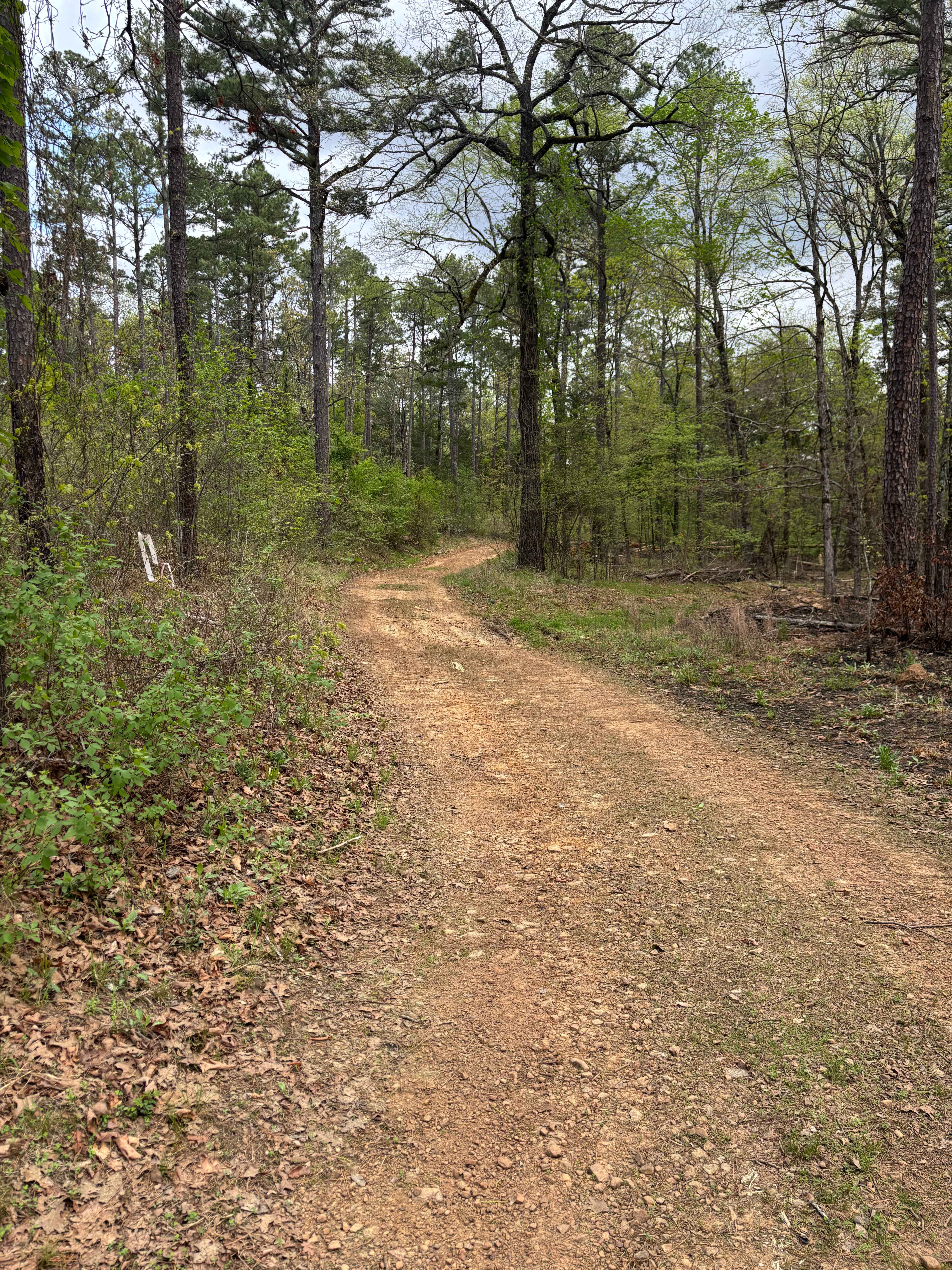
93052A is a great connector to the top of 93052F, 1322A, and Adams Mountain Road. Dropping in off Old Hwy 27, the trail gradually descends at first with a few shallow mud holes. The trail has a few switchbacks as its grade steepens. At the 1-mile mark is the upper trailhead of 93052A. The trail turns more northerly and begins to climb, with numerous mud holes and a few small creeks. At the 2.5-mile mark, there is a classic Ozark seasonal 20' waterfall. At the 3-mile mark, the trail connects with NFS 1322A, where it ends. You can expect pin striping, especially the first 1/4 mile off Old Hwy 27. This is a year-round trail that can be easily navigated by high-clearance 4x4s and off-road rigs, but do not let that fool you; it connects to at least three trails with steep, off-camber trails that have rock ledges of 18 inches or more. Bring a chainsaw; spring storms bring downed trees, and it may be difficult to turn around in larger rigs.
Photos of NFS 93052A Baker
Difficulty
This trail is not difficult, but it is narrow with loose rock and some downed trees.
History
Most trails in the Ozarks are from old communities of a time gone by.
Status Reports
NFS 93052A Baker can be accessed by the following ride types:
- High-Clearance 4x4
- SxS (60")
- ATV (50")
- Dirt Bike
NFS 93052A Baker Map
Popular Trails
Potlatch Forest
Little Bridge Creek to HWY 73
FS 93020C
The onX Offroad Difference
onX Offroad combines trail photos, descriptions, difficulty ratings, width restrictions, seasonality, and more in a user-friendly interface. Available on all devices, with offline access and full compatibility with CarPlay and Android Auto. Discover what you’re missing today!