417 Road / Bent Chicken House Road
Total Miles
3.6
Technical Rating
Best Time
Spring, Summer, Fall, Winter
Trail Type
Full-Width Road
Accessible By
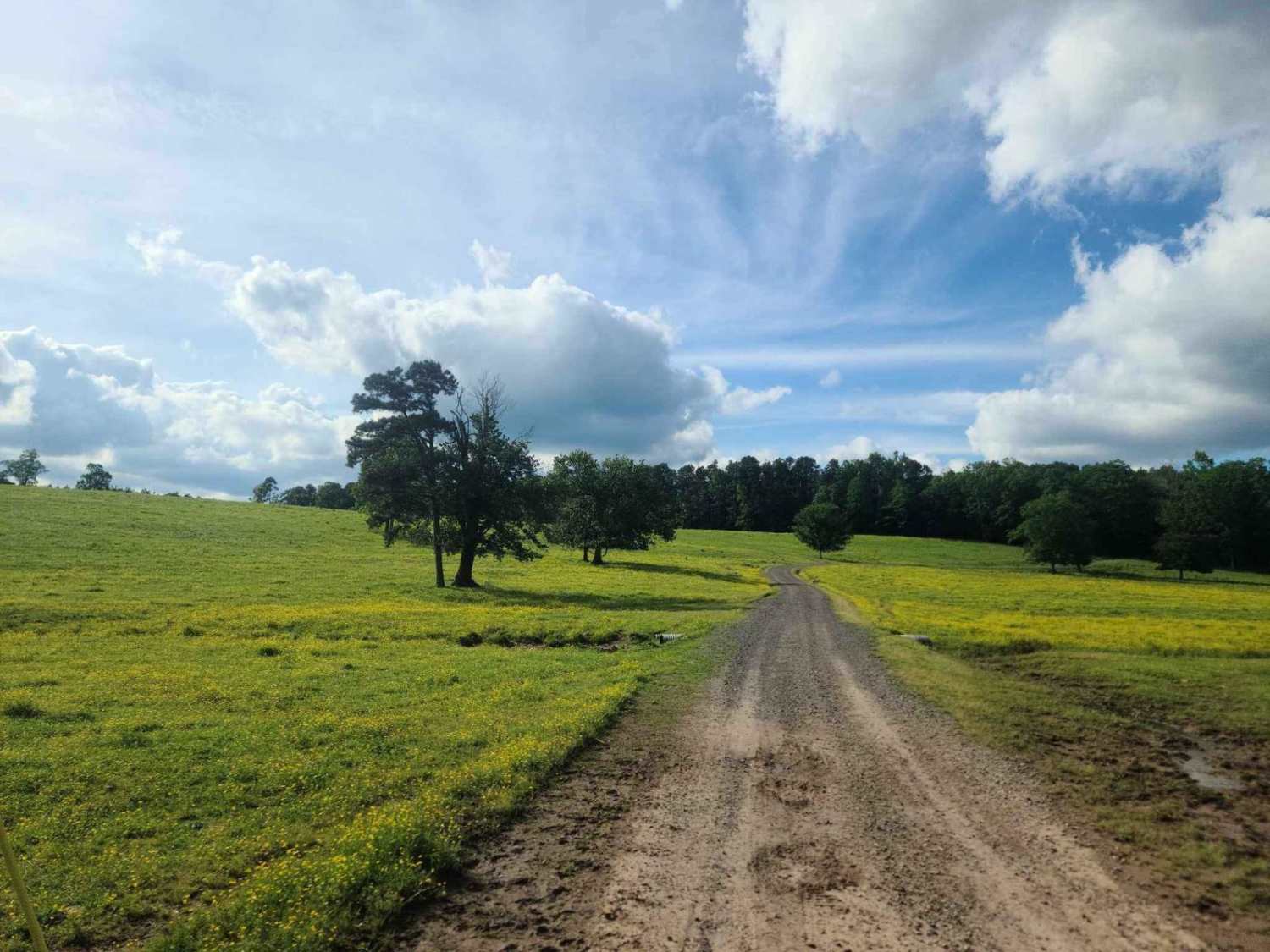
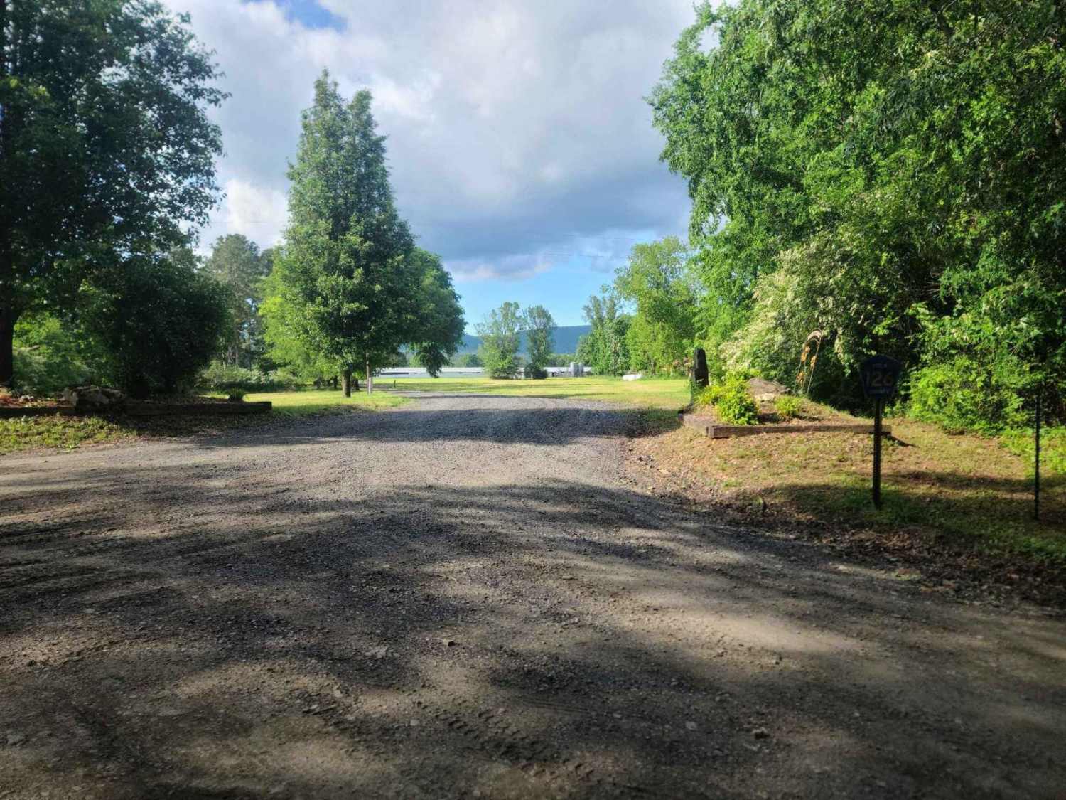
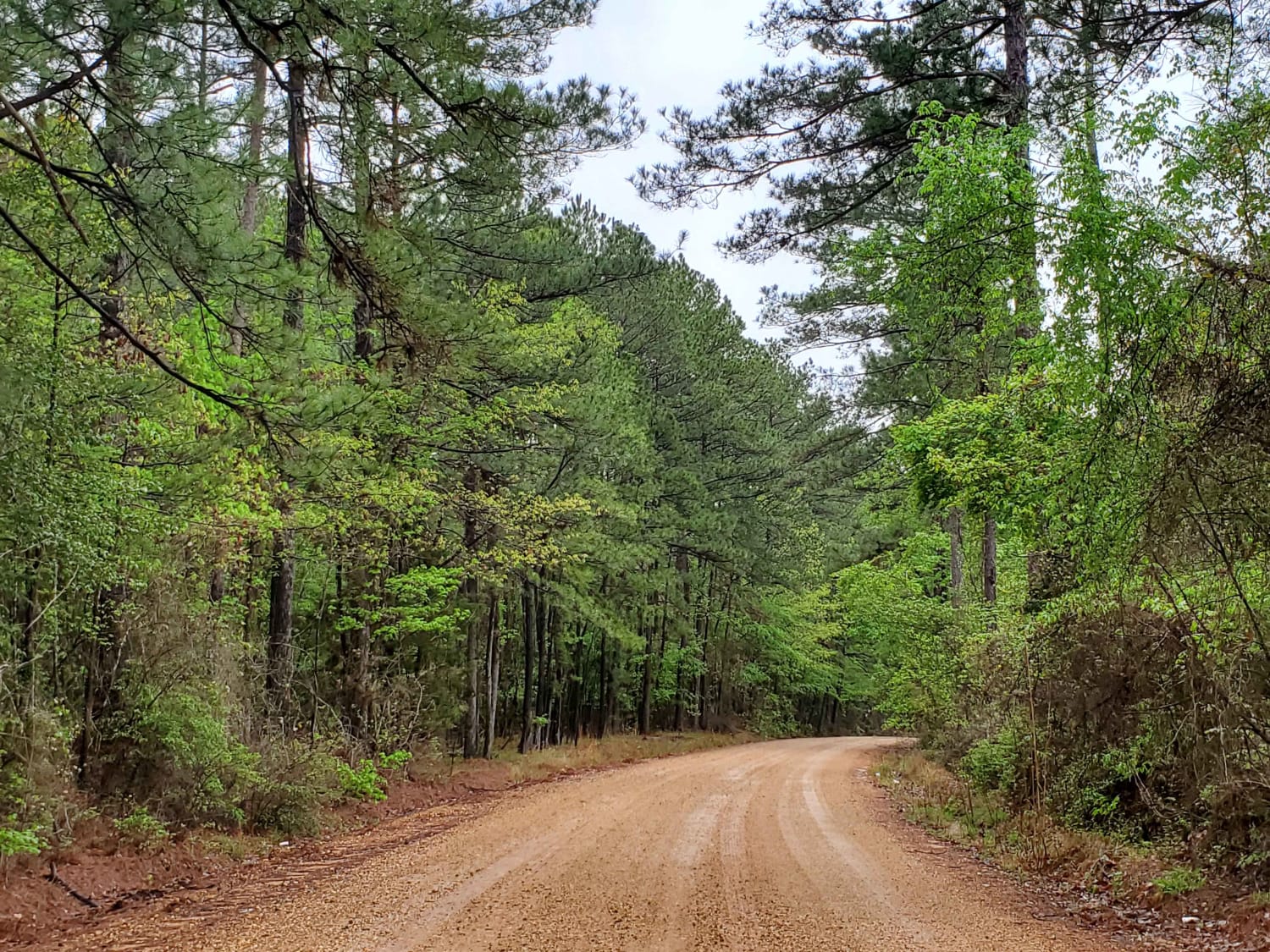
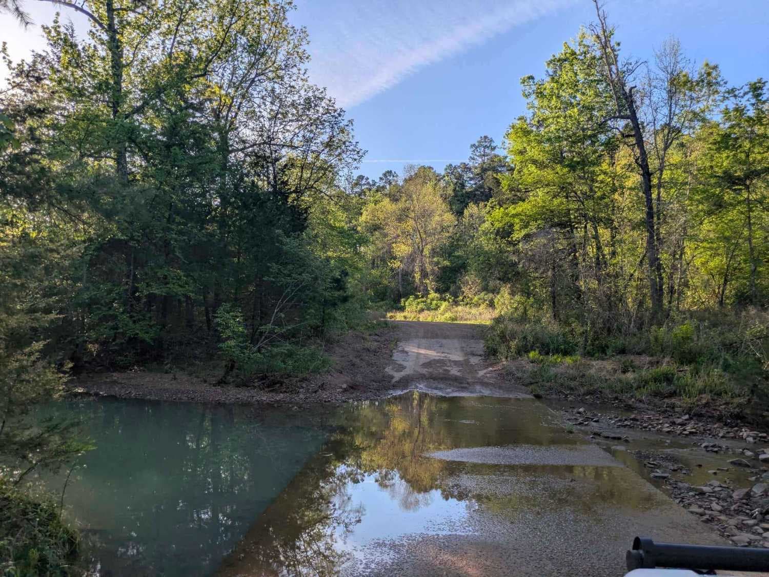
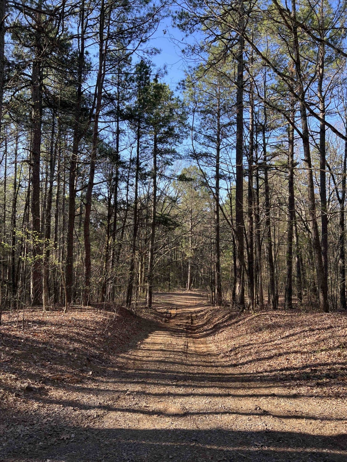
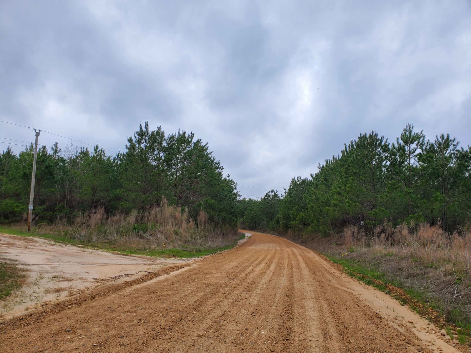
Trail Overview
This trail is the access road to Bufrum and Mill Creeks on the Mena District of the Ouachita National Forest. The road is primarily a wide, maintained Forest Service Road with two slab crossings. The entry onto this trail begins on Polk County Road 126 and appears to be a private drive with the exception of the County Road Sign. The County Road passes through private fields and over three cattle guards. At the third cattle guard, the road will become National Forest Road 417, and the transition will be very apparent, though the road is still well maintained. This road comes to a "Y" junction where you will keep right(East) to remain with the main trail. The road passes over two creek crossings with potential for swimming areas and camping. The road will dead-end at a gate, and beyond the gate is simply water line access for Queen Whilhelmina Lodge. The turnaround at the gate is large and can be used as a camp without issue. The area is known for its historic rock walls, so please be respectful of historic sites, as well as the private landowners along the route. This route is marked as seasonal for all non-highway vehicles, and the area can tend to become busy during deer season.
Photos of 417 Road / Bent Chicken House Road
Difficulty
The road is generally an easy and wide Forest Service Road and County Road, but the water crossings can become high in wet weather. A high clearance 2WD vehicle will be more than sufficient.
History
This road used to access the Bufrum Community, which no longer exists. Some rock walls and a historic cemetery can be accessed via this route.
Status Reports
417 Road / Bent Chicken House Road can be accessed by the following ride types:
- High-Clearance 4x4
- SUV
- SxS (60")
- ATV (50")
- Dirt Bike
417 Road / Bent Chicken House Road Map
Popular Trails
The Arkansas Overland Route - Section 9 - Norphlet Trek
Denton Creek Road
Wilderness Trail
Highway 24 to Campsite C-10 Poison Springs WMA
The onX Offroad Difference
onX Offroad combines trail photos, descriptions, difficulty ratings, width restrictions, seasonality, and more in a user-friendly interface. Available on all devices, with offline access and full compatibility with CarPlay and Android Auto. Discover what you’re missing today!