Yellowstone Mesa
Total Miles
15.4
Technical Rating
Best Time
Spring, Summer, Fall, Winter
Trail Type
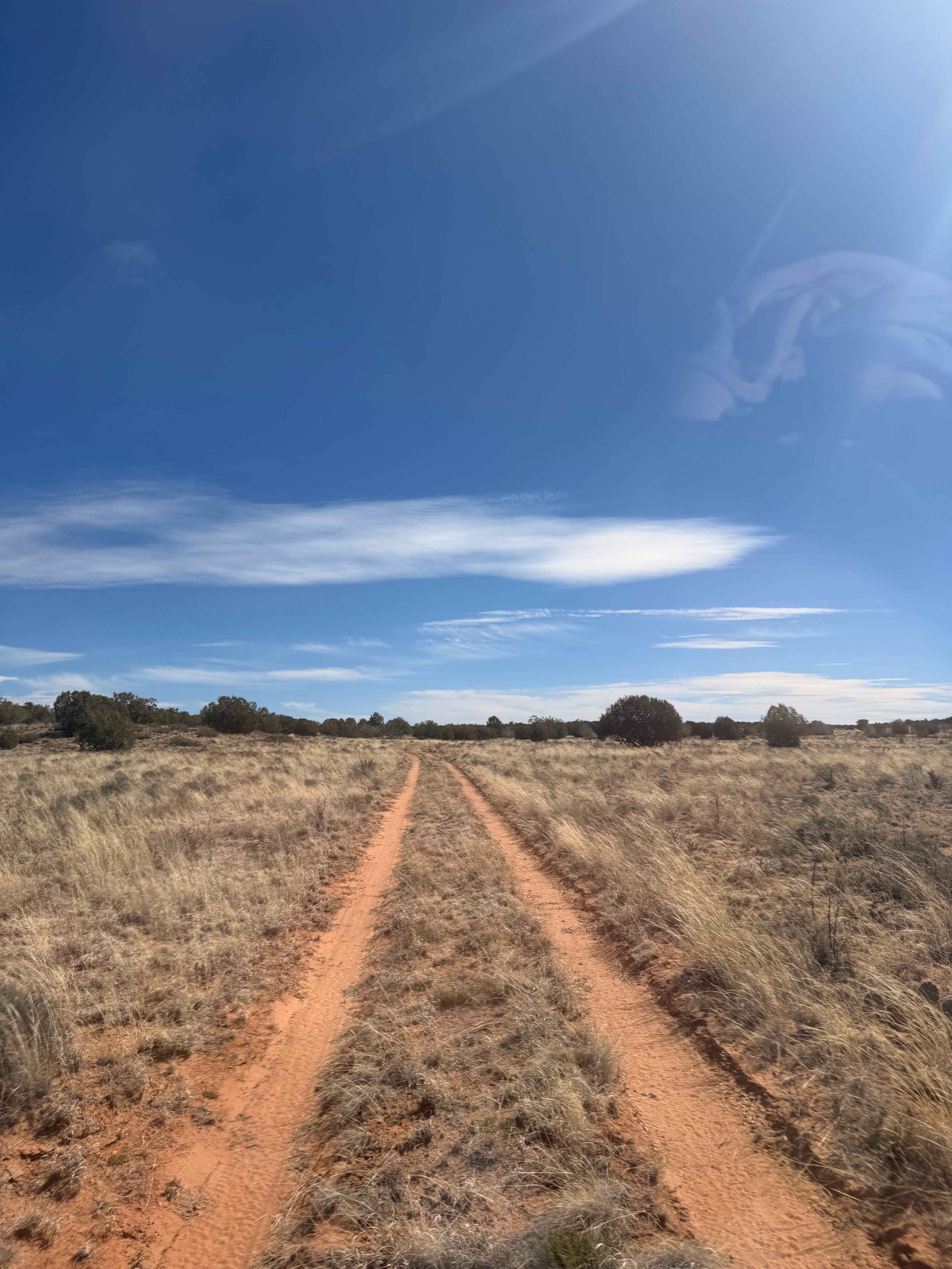
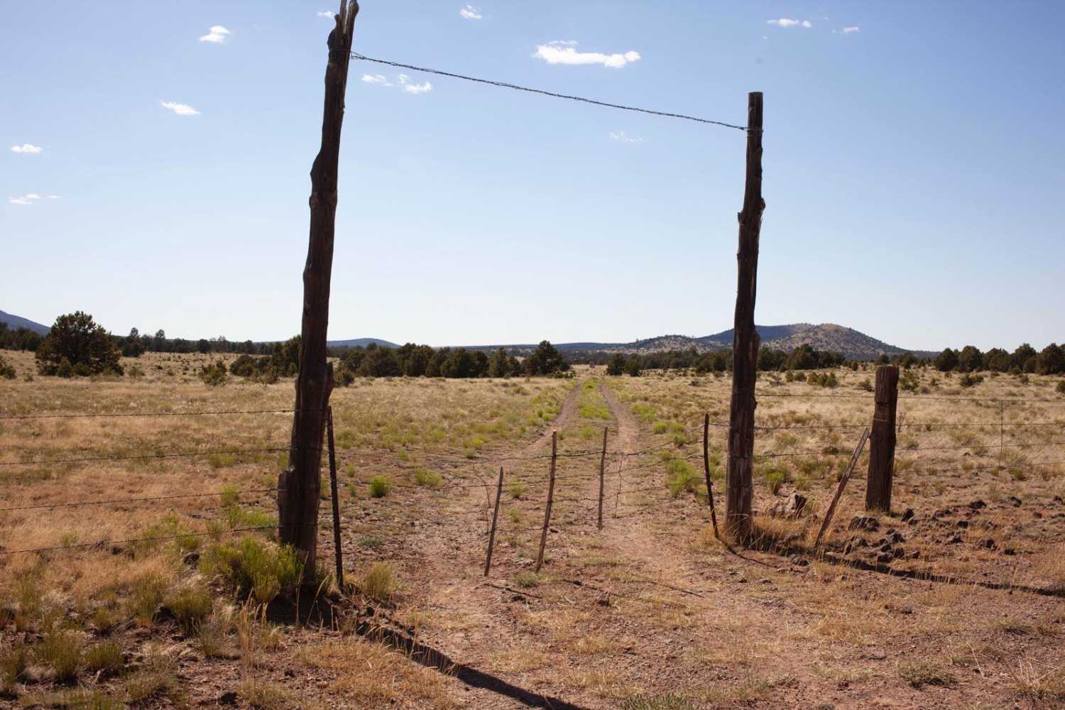
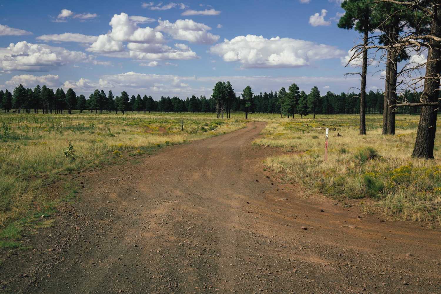
Full-Width Road
Accessible By
Trail Overview
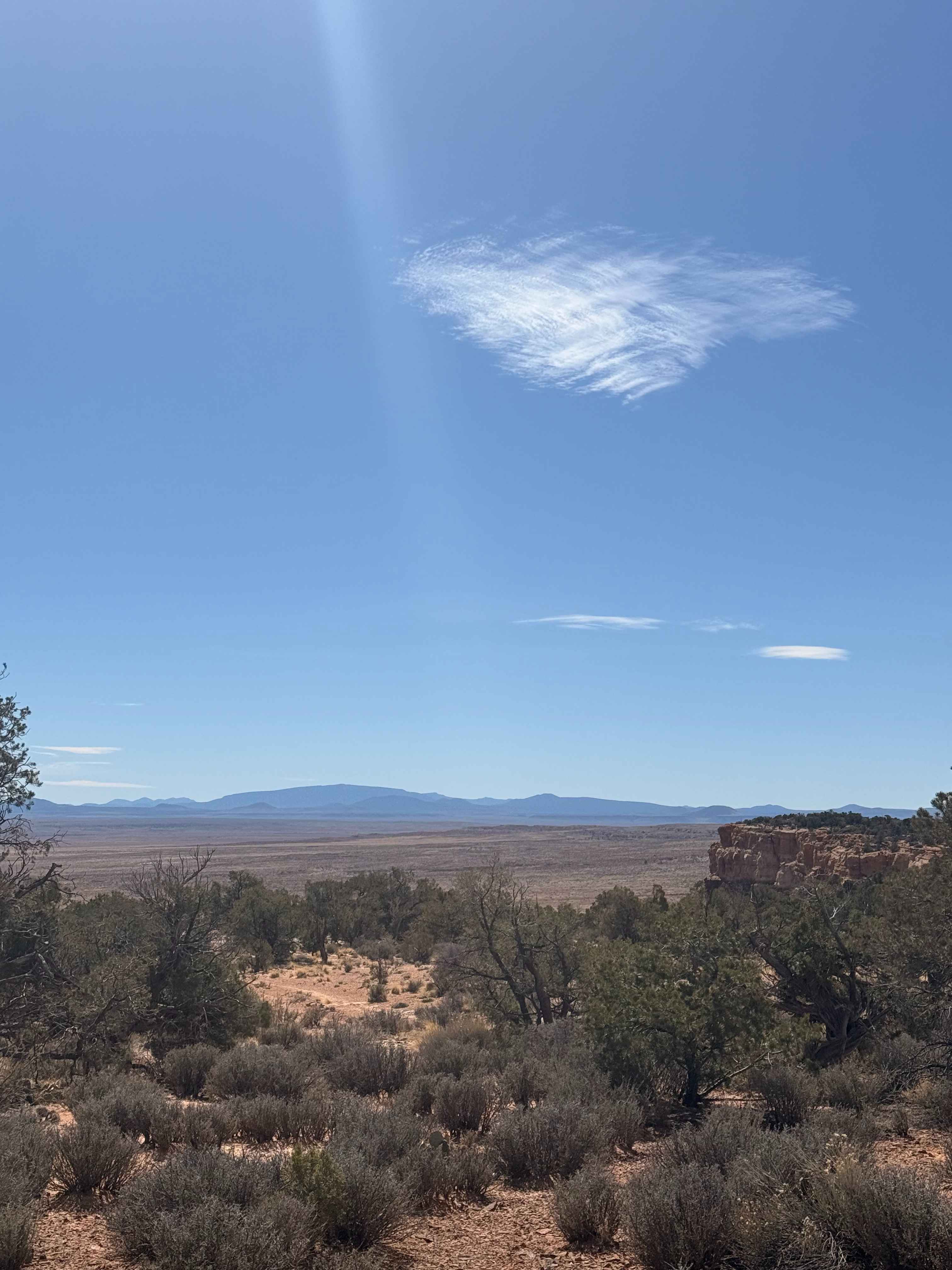
Yellowstone Mesa is a remote volcanic mesa located on the Arizona Strip north of the Grand Canyon, within the rugged high-desert landscape between the Uinkaret Mountains and the Toroweap Valley. Formed from ancient lava flows associated with the Uinkaret volcanic field, the mesa rises above surrounding sagebrush flats and pinyon-juniper hills, creating a distinctive flat-topped landmark visible for miles across the Strip. The area is largely undeveloped and known for its isolation, wildlife, and sweeping views toward the Grand Canyon region. Historically, it has been used for cattle grazing and travel routes across the Arizona Strip, and today it remains a quiet backcountry destination for ranchers, hunters, and explorers seeking one of the most remote landscapes in the American Southwest.
Photos of Yellowstone Mesa
Difficulty
Straightforward two-track trail with no major obstacle other than the occasional rut in the road or rocky surface. There are some sandy sections that may require 4WD.
Status Reports
Yellowstone Mesa can be accessed by the following ride types:
- High-Clearance 4x4
- SUV
- SxS (60")
- ATV (50")
- Dirt Bike
Yellowstone Mesa Map
Popular Trails

Princess Wash Cove
Constellation Road
The onX Offroad Difference
onX Offroad combines trail photos, descriptions, difficulty ratings, width restrictions, seasonality, and more in a user-friendly interface. Available on all devices, with offline access and full compatibility with CarPlay and Android Auto. Discover what you’re missing today!