Western Red Raven Road
Total Miles
4.6
Technical Rating
Best Time
Spring, Fall, Winter
Trail Type
Full-Width Road
Accessible By
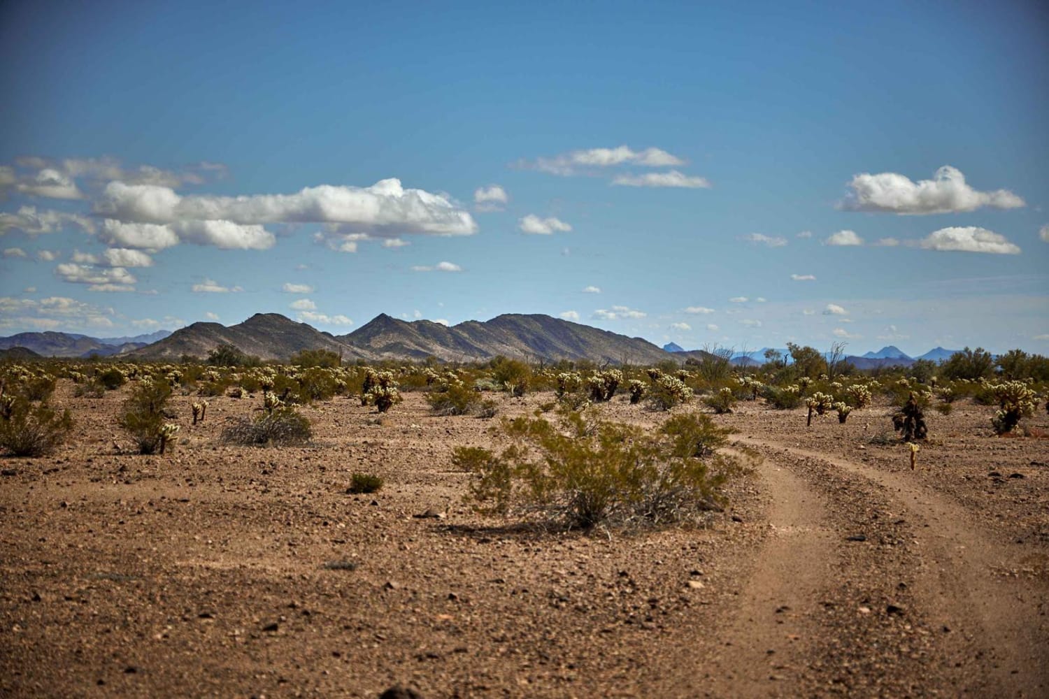
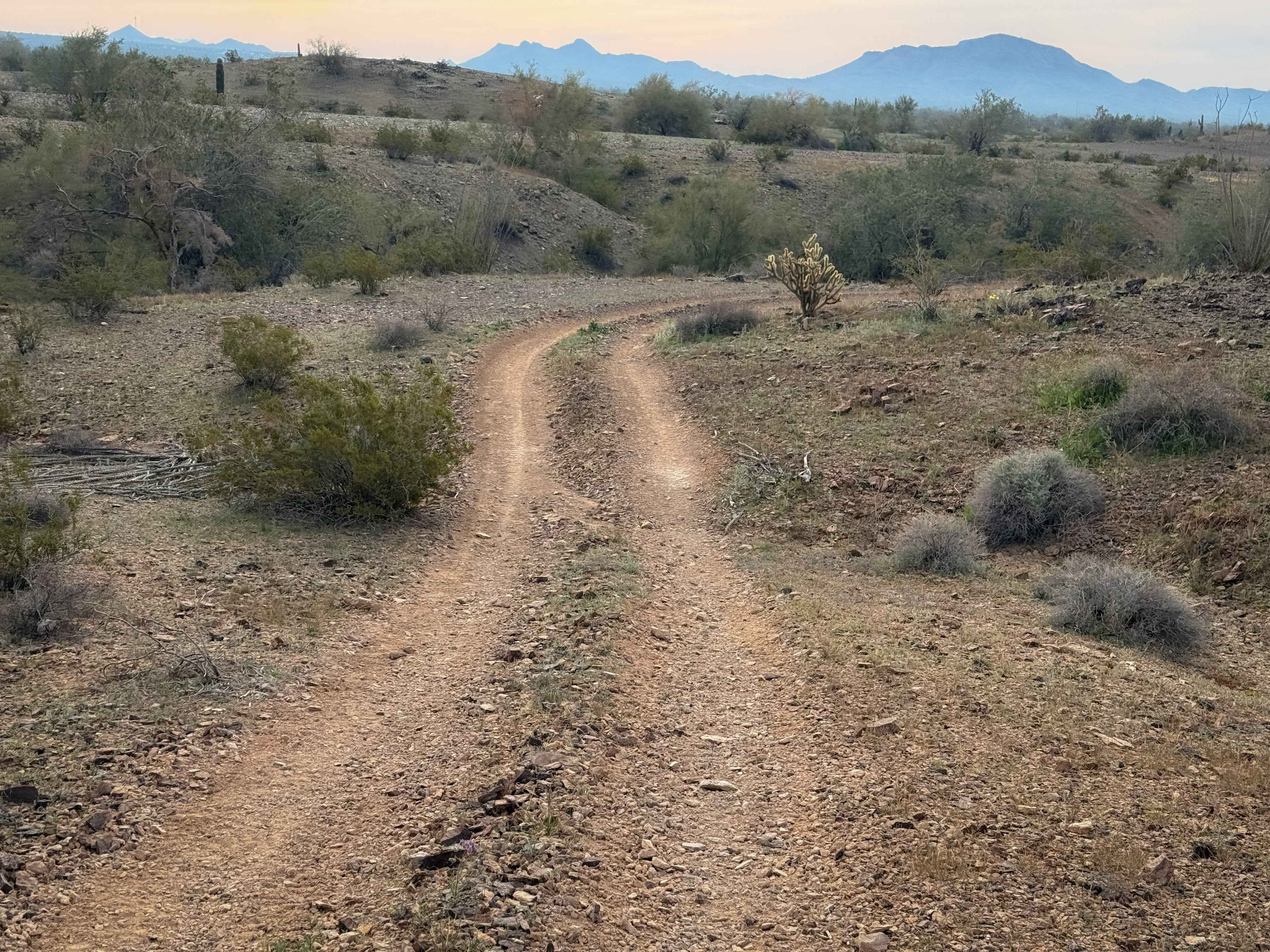
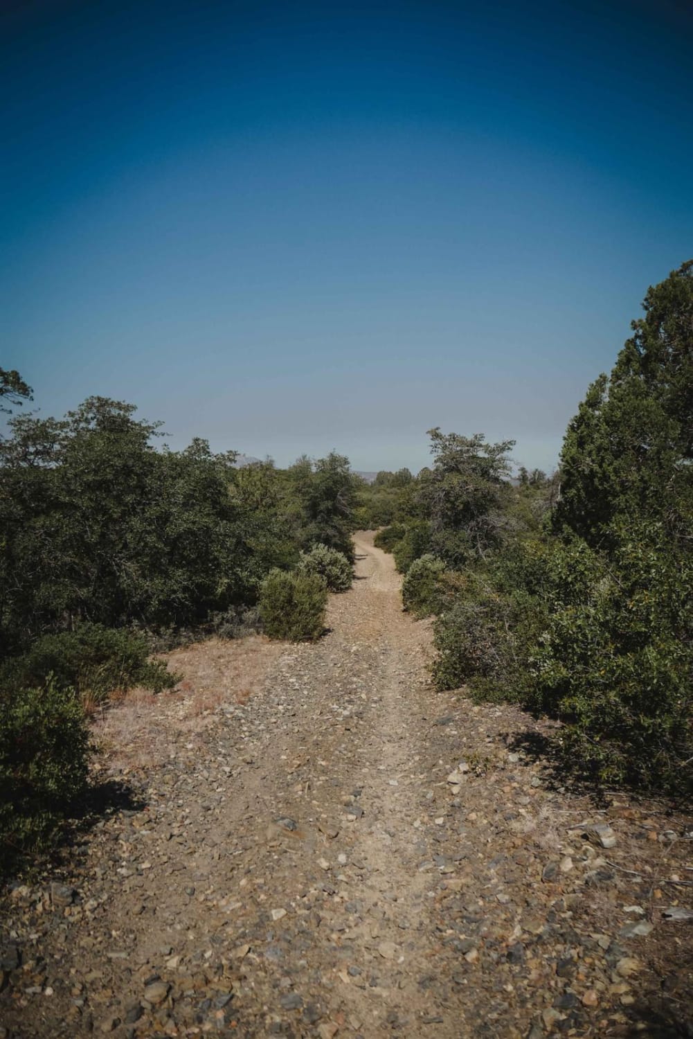
Trail Overview
Western Red Raven Road is lined with creosote and cactus that are guaranteed to provide your rig with paint damage. This eroded two-track runs westward and terminates at the KOFA Wilderness Refuge, where vehicle travel is prohibited. On your way, you'll see incredible views of the mountains and desert foliage that include numerous types of cactus, mesquite, and palo verde. In the foliage, you'll see evidence of desert deer, jackrabbits, and other small creatures. You might even be lucky enough to spot an elusive desert fox or grey-horned owl.
Photos of Western Red Raven Road

Difficulty
Dirt or rocky road, typically unmaintained after rain or snow.
Status Reports
Western Red Raven Road can be accessed by the following ride types:
- High-Clearance 4x4
- SUV
- SxS (60")
- ATV (50")
- Dirt Bike
Western Red Raven Road Map
Popular Trails

Vicksburg Flats

Varied Loop Trail
The onX Offroad Difference
onX Offroad combines trail photos, descriptions, difficulty ratings, width restrictions, seasonality, and more in a user-friendly interface. Available on all devices, with offline access and full compatibility with CarPlay and Android Auto. Discover what you’re missing today!