West Cherry Creek Road
Total Miles
10.4
Technical Rating
Best Time
Spring, Summer, Fall
Trail Type
Full-Width Road
Accessible By
Trail Overview
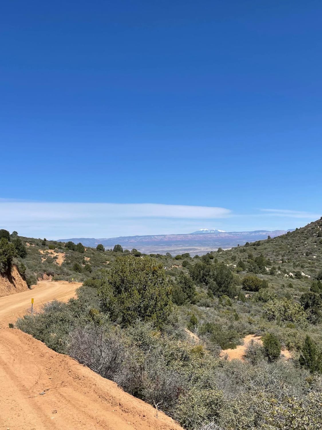
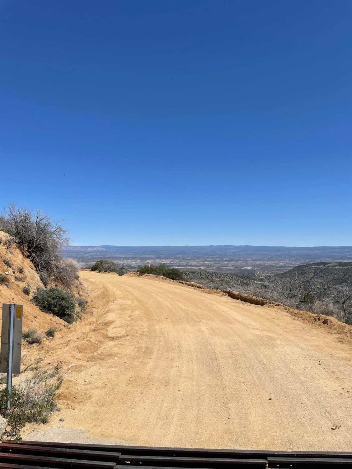
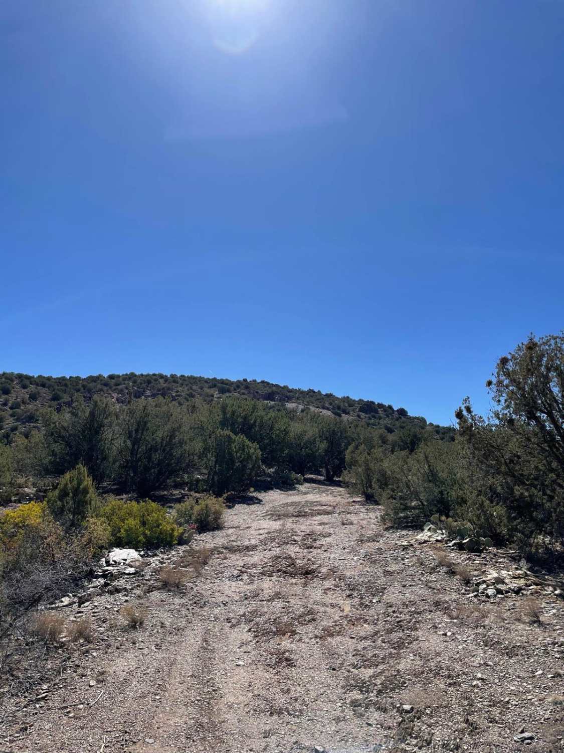
West Cherry Creek Road is a very scenic trail that clocks in at 10.4 miles long. The beginning of this trail starts just outside of the little town of Cherry, Arizona. The trail traverses through the Black Hills of the Prescott National Forest and ends on the west side of the Verde Valley. The road is an off-and-on maintained dirt road. During rain or snow, this road is not recommended due to the steep drop-offs on the road's edge. There are a few scenic pullouts that give great views of Sedona and the San Francisco Peaks to the north. Overall, this is a beautiful laid-back trail.
Photos of West Cherry Creek Road
Difficulty
This is a maintained dirt road with gentle grades.
Status Reports
West Cherry Creek Road can be accessed by the following ride types:
- High-Clearance 4x4
- SUV
- SxS (60")
- ATV (50")
- Dirt Bike
West Cherry Creek Road Map
Popular Trails


Wellton to Ligurta Offroad Spur
Stoddard Mine

212/The Burned Hill
The onX Offroad Difference
onX Offroad combines trail photos, descriptions, difficulty ratings, width restrictions, seasonality, and more in a user-friendly interface. Available on all devices, with offline access and full compatibility with CarPlay and Android Auto. Discover what you’re missing today!