Way Out
Total Miles
3.6
Technical Rating
Best Time
Spring, Summer, Winter, Fall
Trail Type
Full-Width Road
Accessible By
Trail Overview
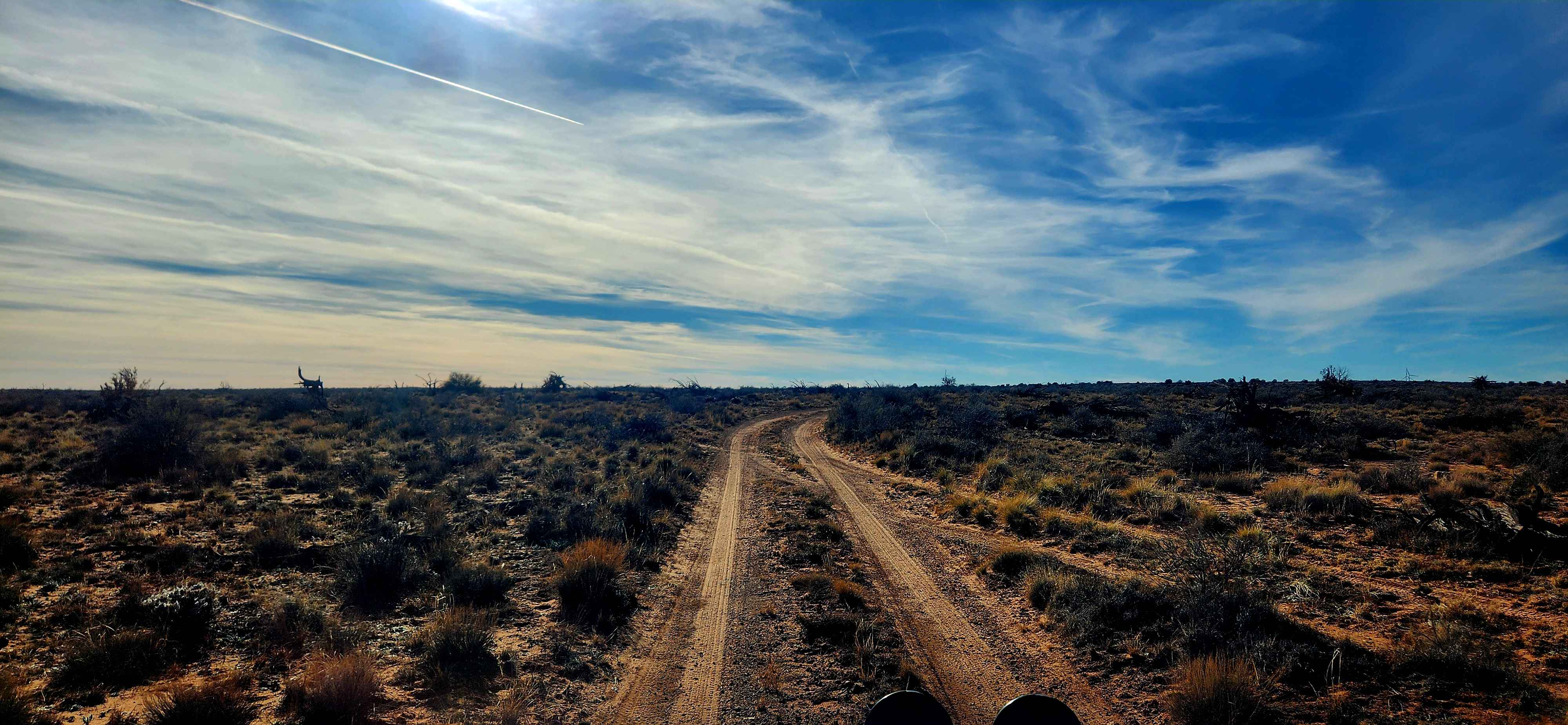
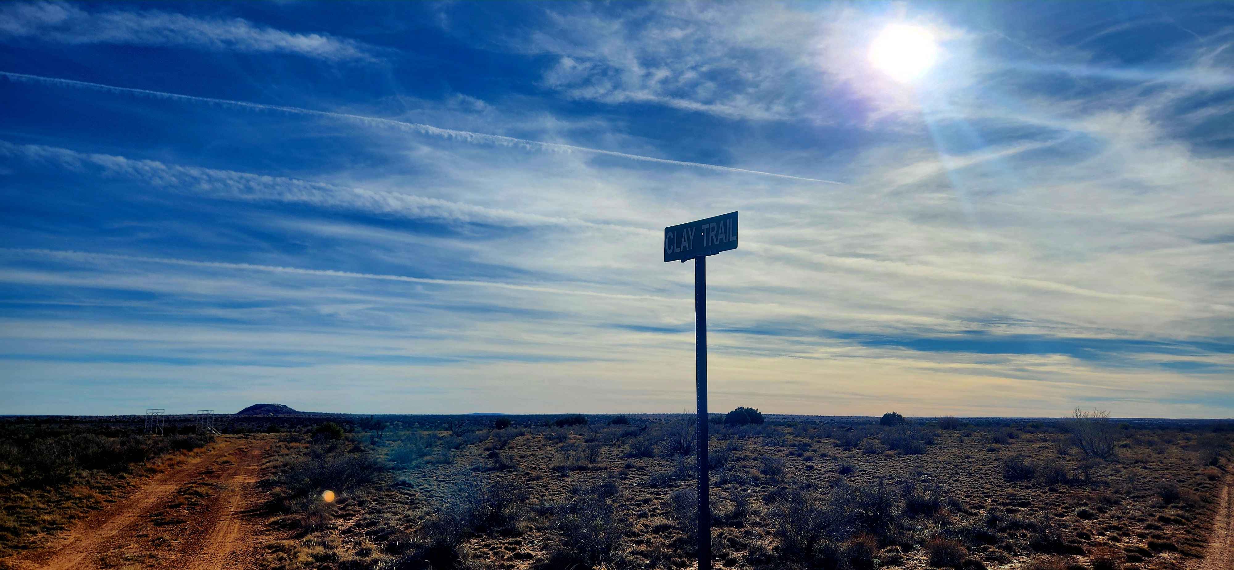
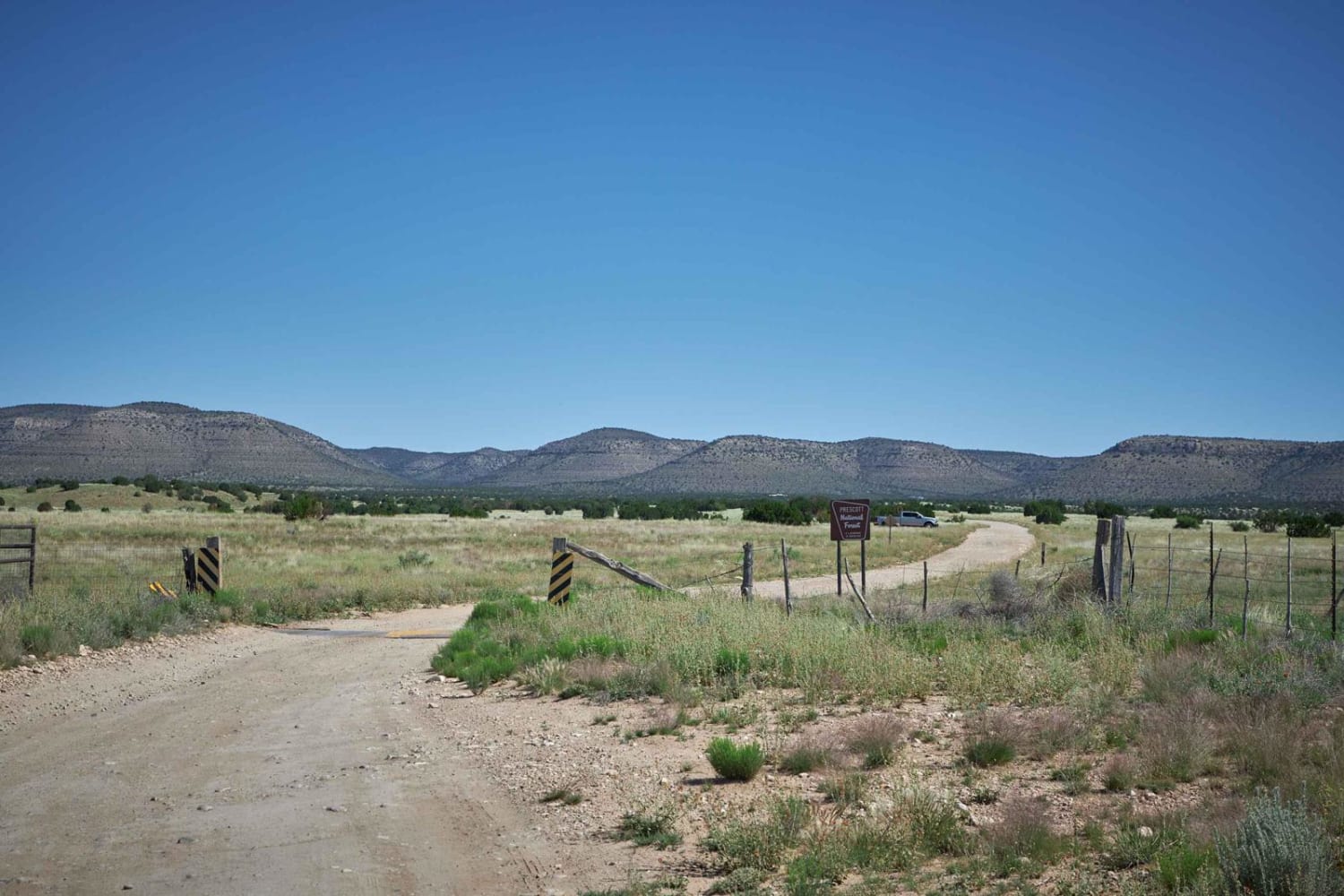
This trail is aptly named and serves as an alternate route out of the area after exploring Mill Road, avoiding the need to backtrack. The northern section runs north to south and remains a true off-road route with single-vehicle width, washouts, ruts, and wide-open high desert views, along with features that appear to be remnants of an old railroad bed and possible bridge footings, though their origin is unconfirmed. The southern section runs east to west and functions more as a public access road for nearby neighborhoods, offering two lanes of graded dirt with some washboard surfaces.
Photos of Way Out
Difficulty
This trail varies by section, with the northern portion running north to south as a narrow off-road route featuring washouts, ruts, and single-vehicle width, along with open views of the high desert. The southern portion runs east to west and functions more as a public access road for nearby neighborhoods, offering two lanes of graded dirt with some washboard sections. Overall difficulty changes noticeably depending on which segment is being traveled.
Status Reports
Way Out can be accessed by the following ride types:
- High-Clearance 4x4
- SUV
- SxS (60")
- ATV (50")
- Dirt Bike
Way Out Map
Popular Trails
Another Powerline Road
Barrata / 640

Nancy's Folly
The onX Offroad Difference
onX Offroad combines trail photos, descriptions, difficulty ratings, width restrictions, seasonality, and more in a user-friendly interface. Available on all devices, with offline access and full compatibility with CarPlay and Android Auto. Discover what you’re missing today!