Turkey Creek
Total Miles
16.3
Technical Rating
Best Time
Spring, Fall
Trail Type
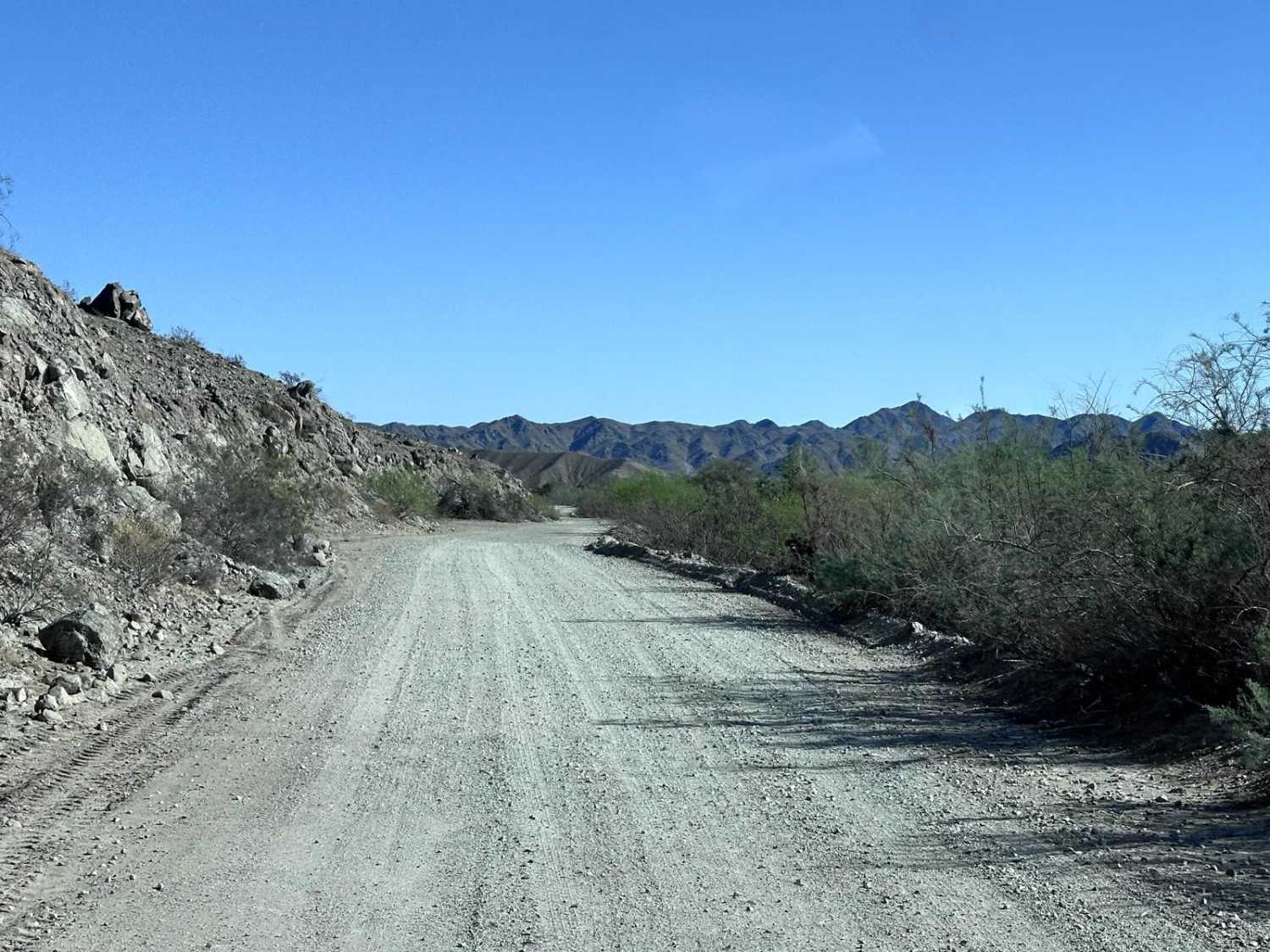
Full-Width Road
Accessible By
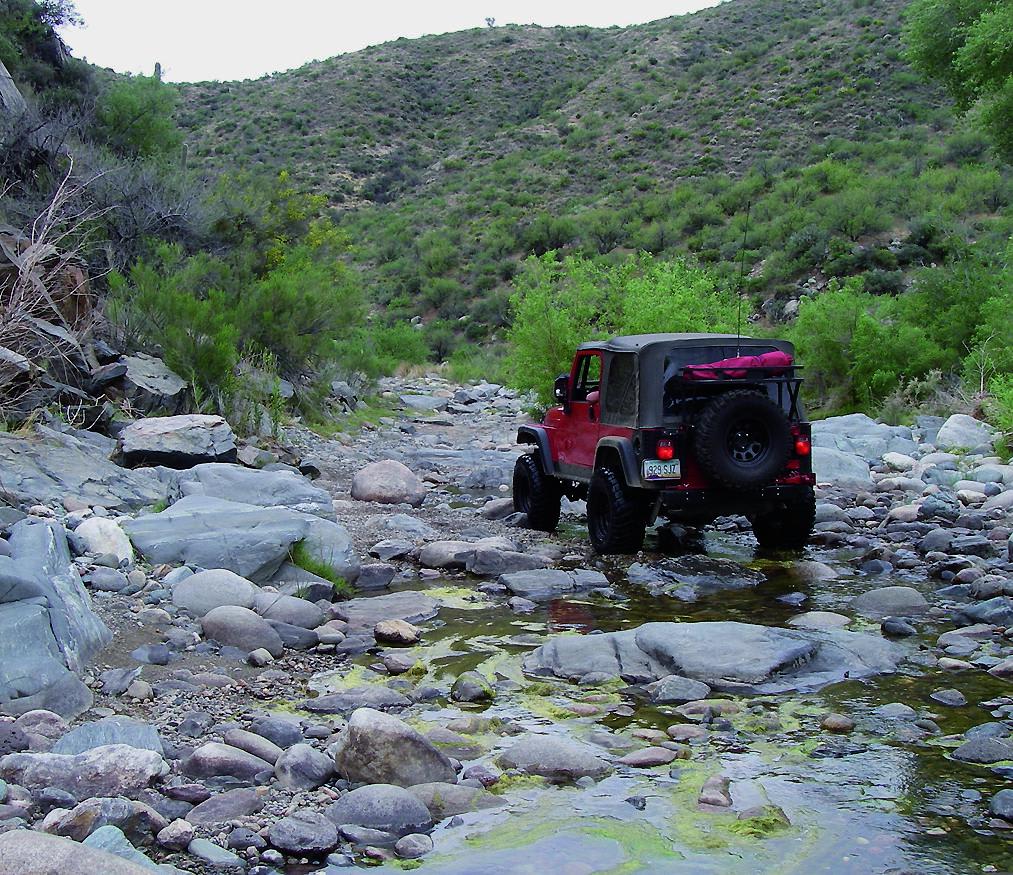
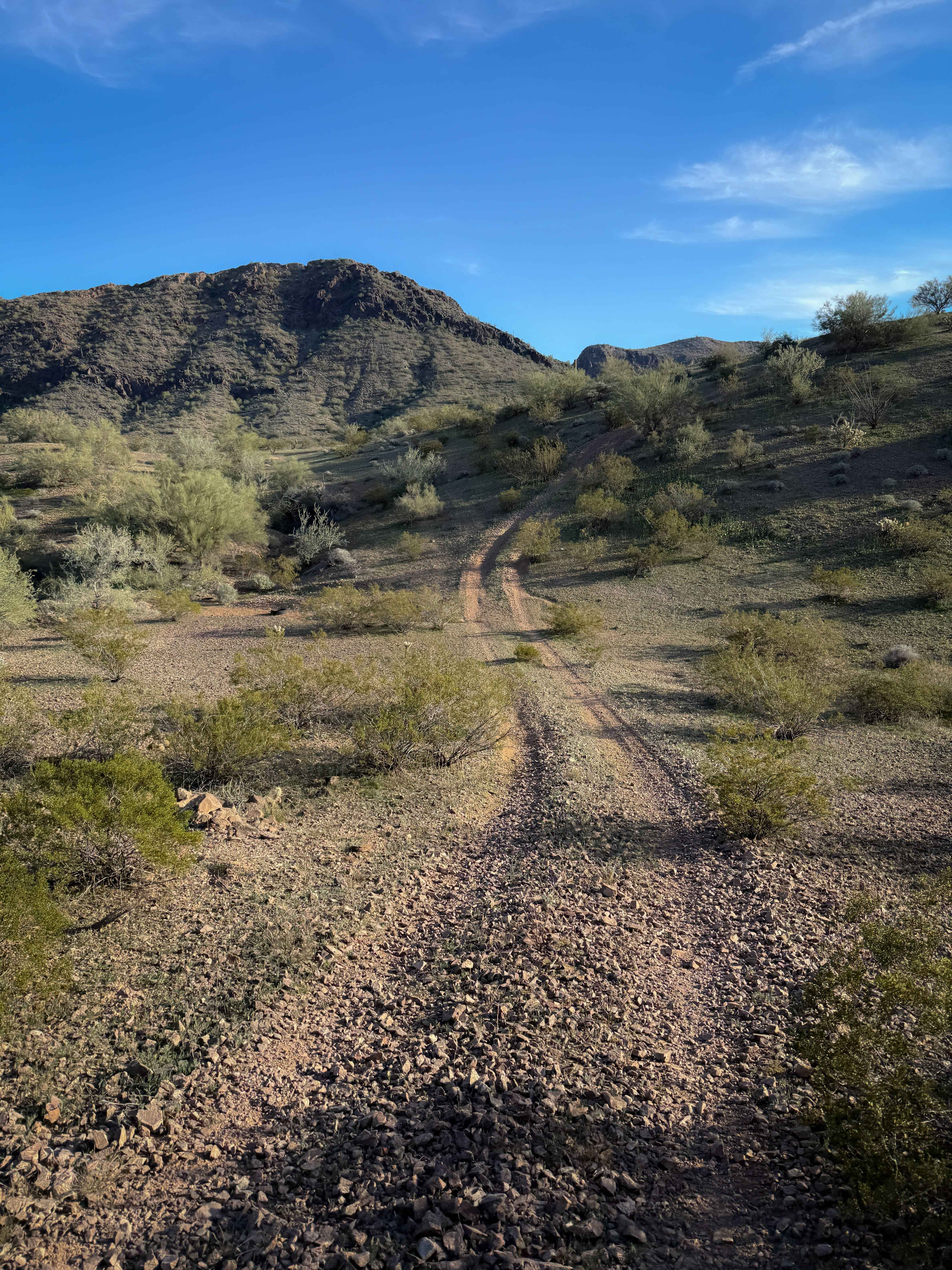
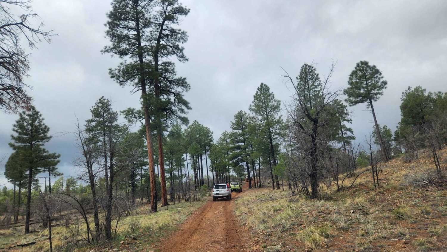
Trail Overview
This very lightly traveled trail will take you through Dead Cow Gulch to Howard Copper Mine. Then you can climb into the foothills and eventually drop to Castle Creek Road. There is some good camping for ATV and UTV riders that want to play among the large network of trails in this area.
Photos of Turkey Creek
Difficulty
Difficult: Rocky along creek beds, but no major obstacles. A tippy, narrow ledge at Waypoint 04 is a challenge for wider vehicles.
Status Reports
Turkey Creek can be accessed by the following ride types:
- High-Clearance 4x4
- SUV
- SxS (60")
- ATV (50")
- Dirt Bike
Turkey Creek Map
Popular Trails
Laguna Ridge (AZPT)
Cholla Garden

Section 10 Traverse
The onX Offroad Difference
onX Offroad combines trail photos, descriptions, difficulty ratings, width restrictions, seasonality, and more in a user-friendly interface. Available on all devices, with offline access and full compatibility with CarPlay and Android Auto. Discover what you’re missing today!