Tow Strap
Total Miles
13.5
Technical Rating
Best Time
Spring, Summer, Fall
Trail Type
Full-Width Road
Accessible By
Trail Overview
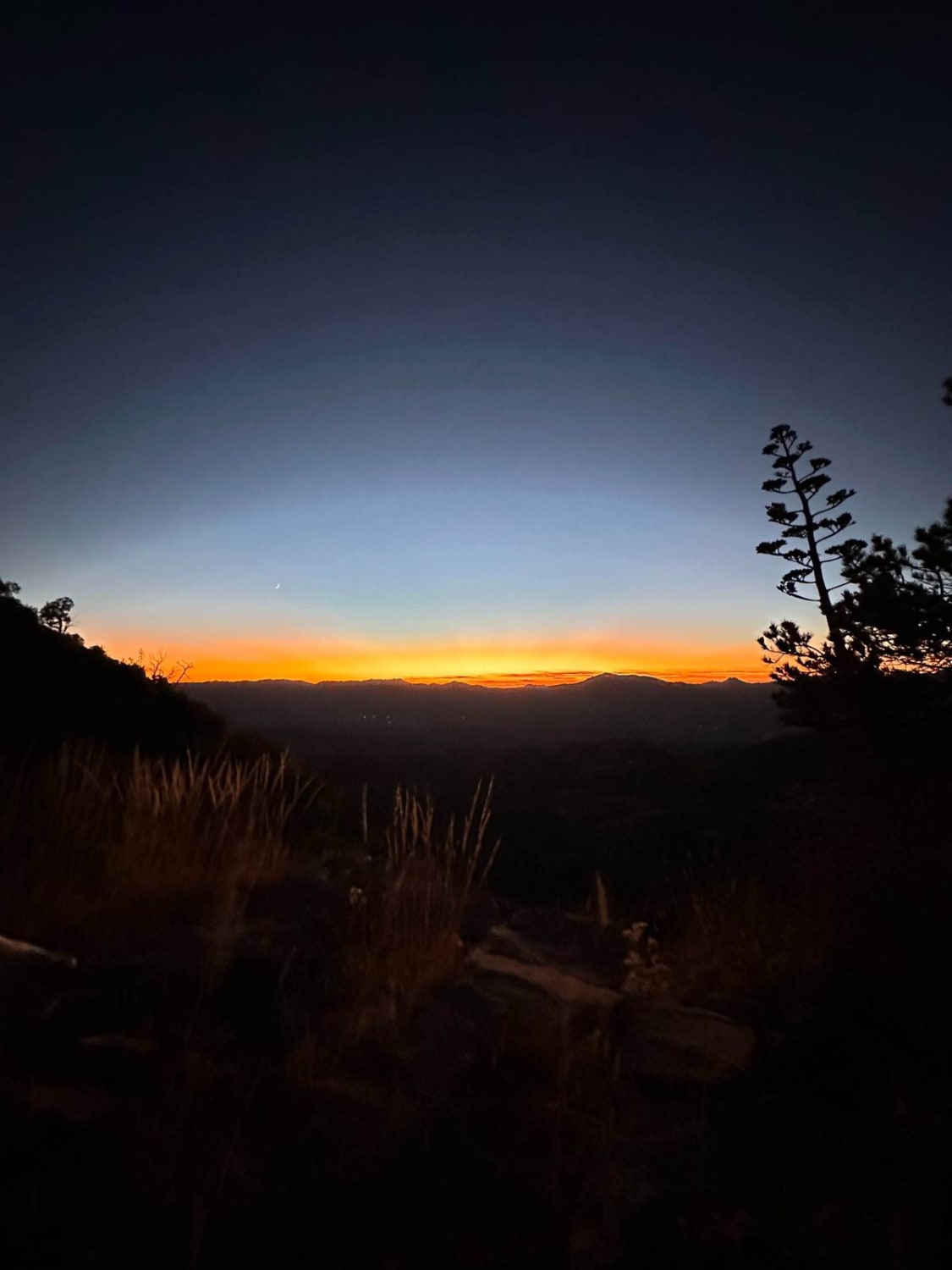
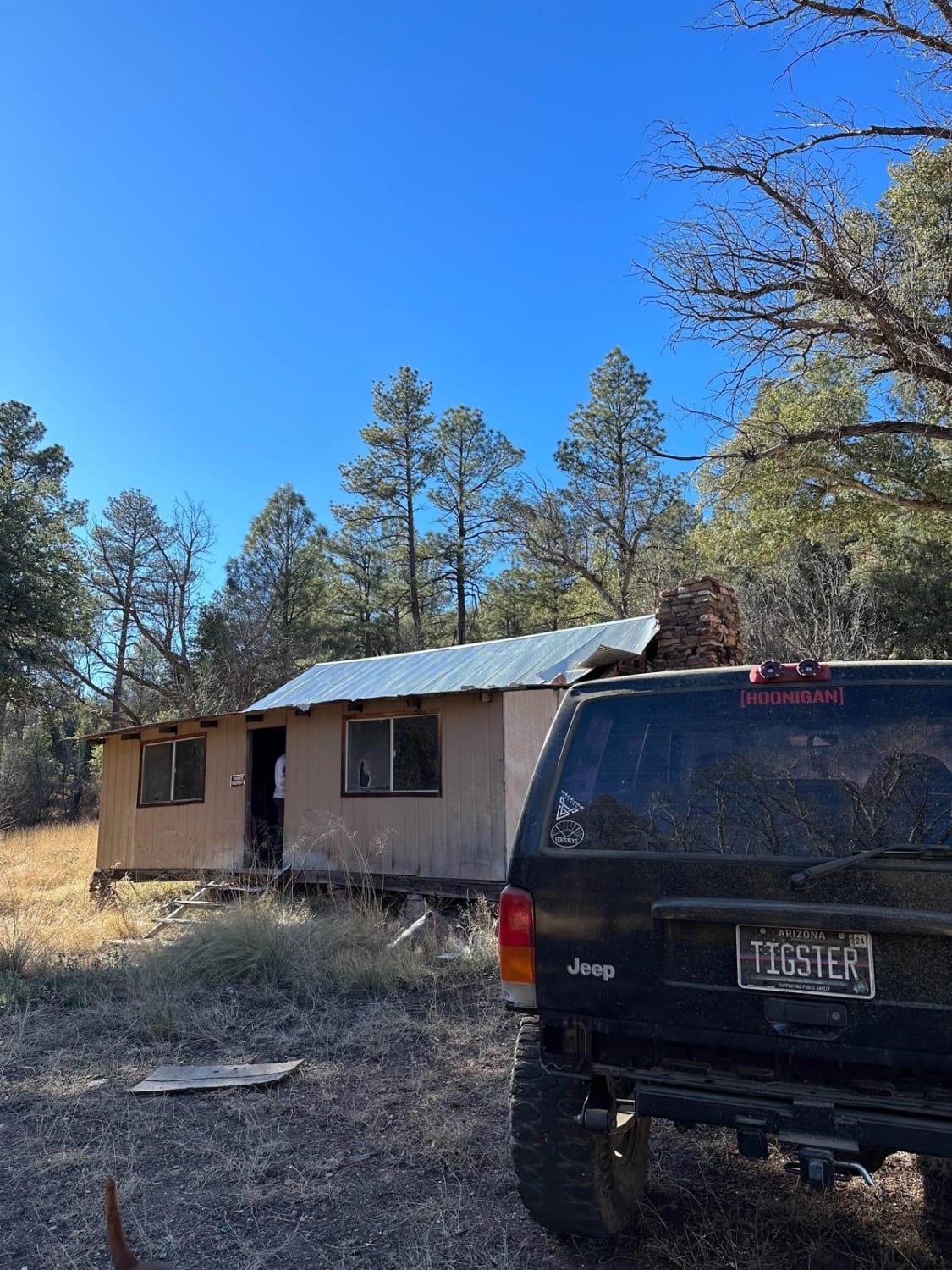
This trail is relatively easy in a stock truck. It is a steep incline of 2.5 miles. Closer to the top, the trail has a couple of tight technical turns. Once you reach the top of the mountain, it is a sweet easy trail. This route will take you to an old cowboy camp; its earliest date is 1972. If you're looking for a great place to camp, this area is perfect for that. Motorcycles, SxSs, trucks, and even some trailers have made it up there, but it is called tow strap for a reason. The creek crossing to get to the trailhead can flow pretty hard if it rains or snow melts. It is a very steep climb to the top, so be prepared to put it in low.
Photos of Tow Strap
Difficulty
There is a water crossing if it has rained or there is a lot of snow melt. Many people have tried to cross it and do not come out. That being said, check the wether before you go. Other then that crossing, it's pretty smooth sailing from there. It is a steep climb to the top of the mountain, but it is not that complicated of a trail. It's just a great place to get out and explore.
Tow Strap can be accessed by the following ride types:
- High-Clearance 4x4
- SUV
- SxS (60")
- ATV (50")
- Dirt Bike
Tow Strap Map
Popular Trails
Black Mesa - FS 3271

Hidden Valley

Antelope/Temple Trail (East)
The onX Offroad Difference
onX Offroad combines trail photos, descriptions, difficulty ratings, width restrictions, seasonality, and more in a user-friendly interface. Available on all devices, with offline access and full compatibility with CarPlay and Android Auto. Discover what you’re missing today!