Thomas Point Connector
Total Miles
0.9
Technical Rating
Best Time
Spring, Summer, Fall
Trail Type
High-Clearance 4x4 Trail
Accessible By
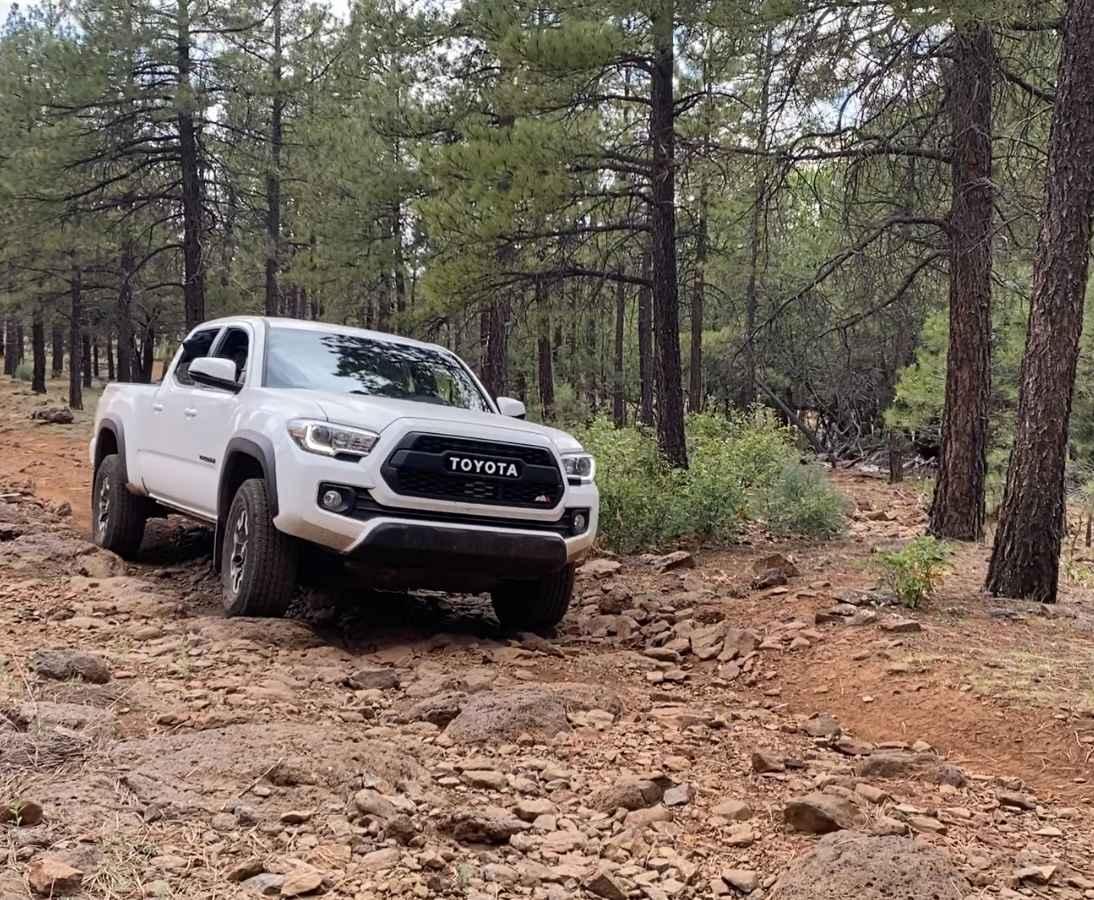
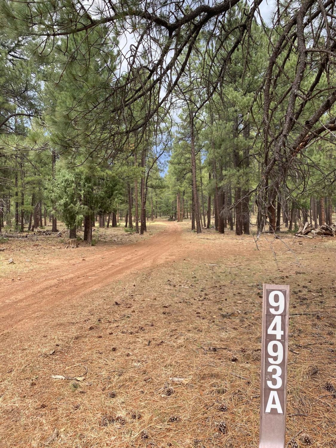
Trail Overview
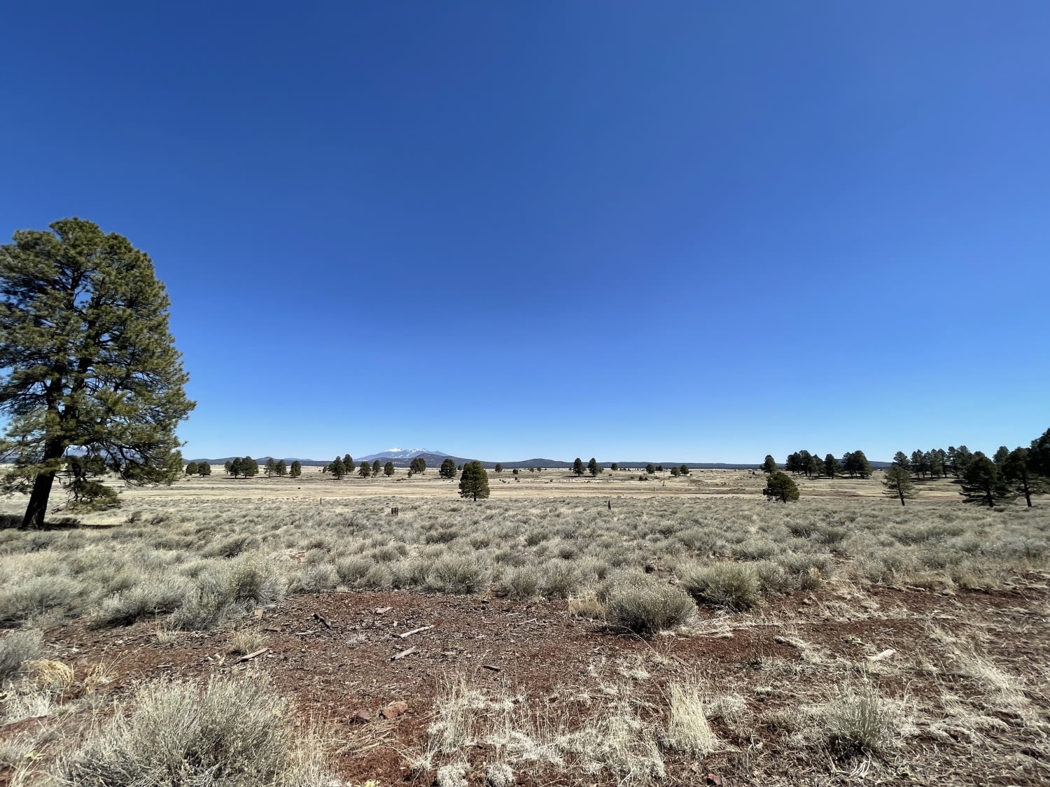
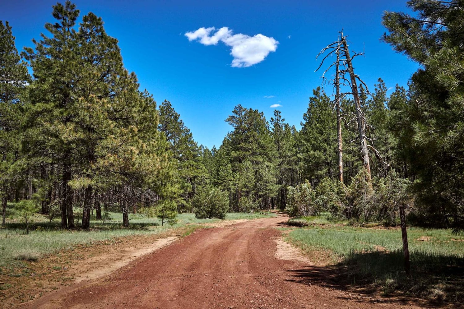
This scenic connector trail is found under the pines of the Coconino National Forest west of Munds Park, AZ. The trail is a mix of rutted dirt and both loose and buried rock, making for a bumpy connection to or from Thomas Point Trail. High clearance and 4x4 are recommended, and trail difficulty will increase during or after rain. As always, be a steward and protect our public lands and national forests; observe Tread Lightly! Principles and have fun!
Photos of Thomas Point Connector
Difficulty
There are some ruts in the dirt along this route, however the loose and buried rock are the main obstacles on this trail. High clearance and 4x4 needed.
Thomas Point Connector can be accessed by the following ride types:
- High-Clearance 4x4
- SxS (60")
- ATV (50")
- Dirt Bike
Thomas Point Connector Map
Popular Trails
Oatman Quarry AZ Peace Trail to Linda Mine Cutover
Jimmie Wash Bypass
Double Tank Trailhead
The onX Offroad Difference
onX Offroad combines trail photos, descriptions, difficulty ratings, width restrictions, seasonality, and more in a user-friendly interface. Available on all devices, with offline access and full compatibility with CarPlay and Android Auto. Discover what you’re missing today!