Thistle Hollow - FS 229
Total Miles
5.9
Technical Rating
Best Time
Spring, Summer, Fall, Winter
Trail Type
Full-Width Road
Accessible By
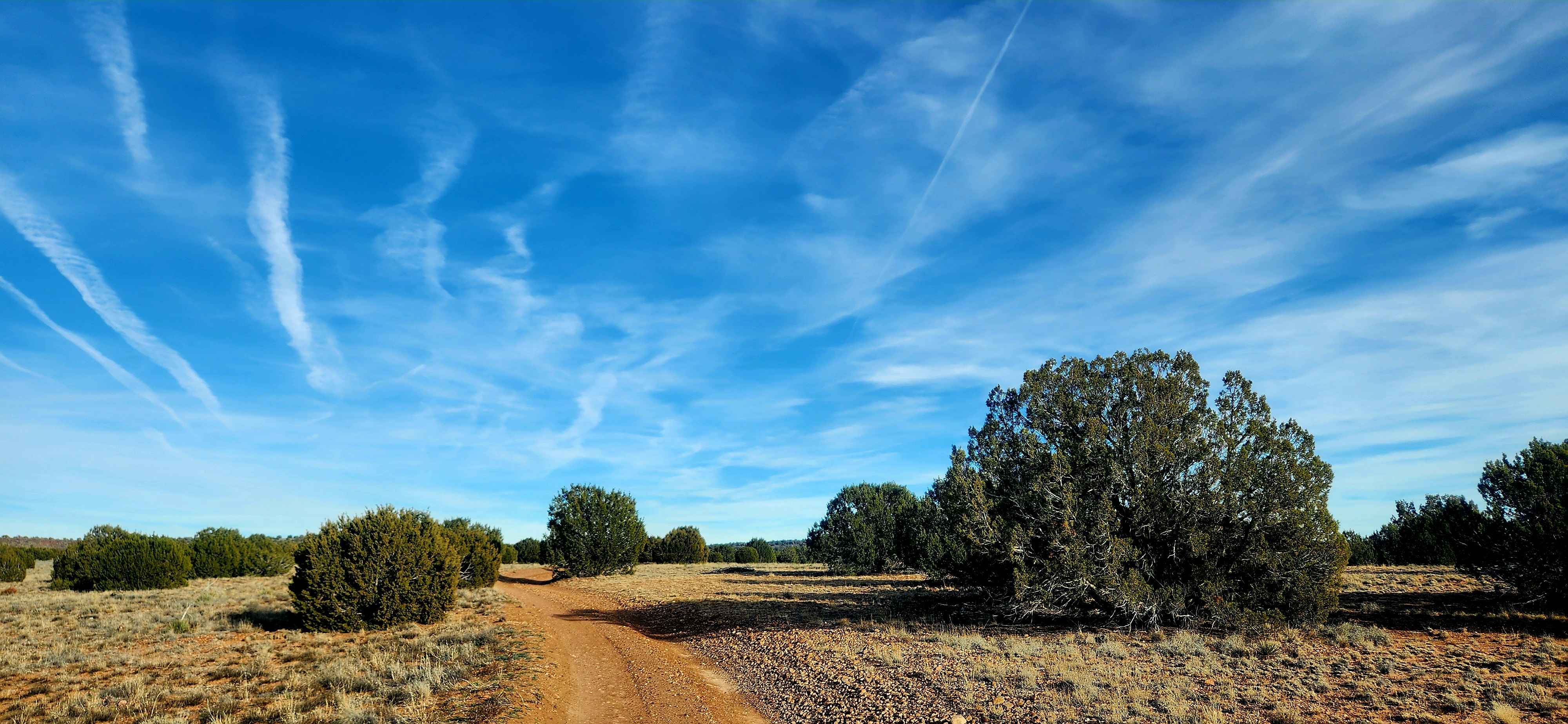
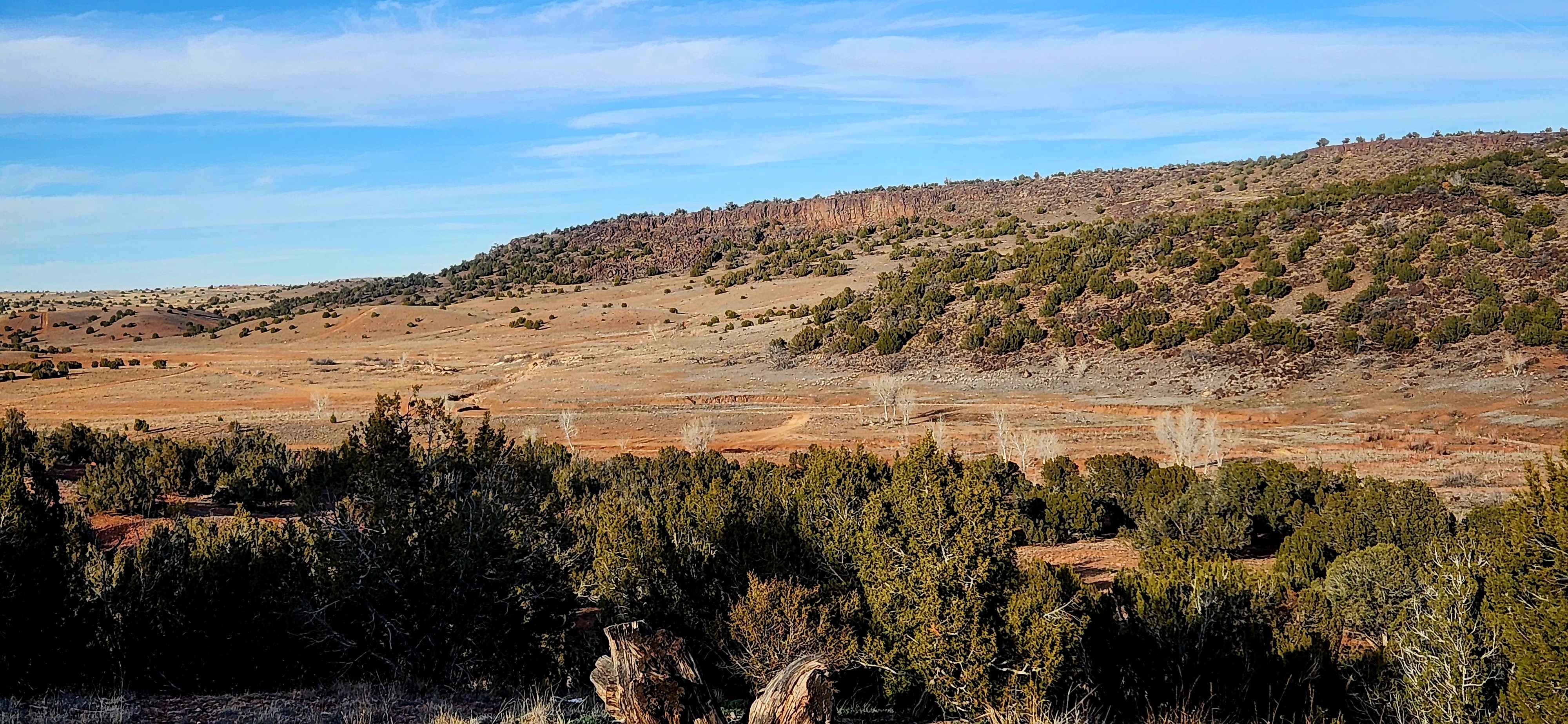
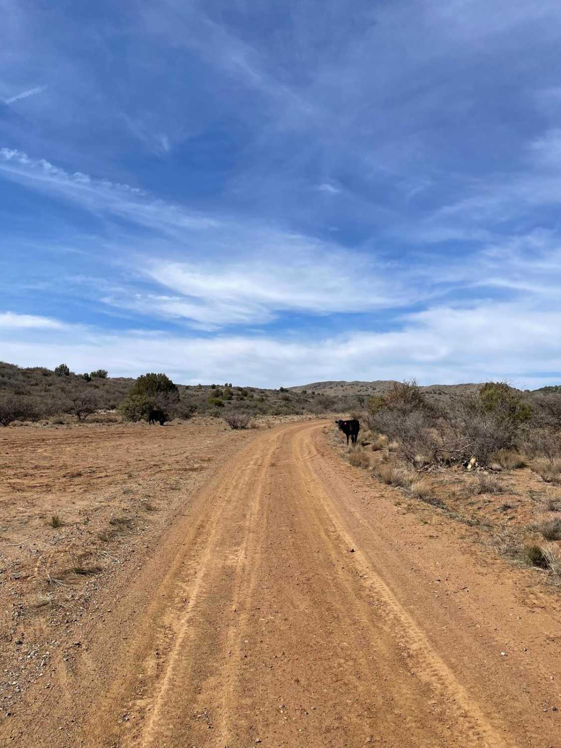
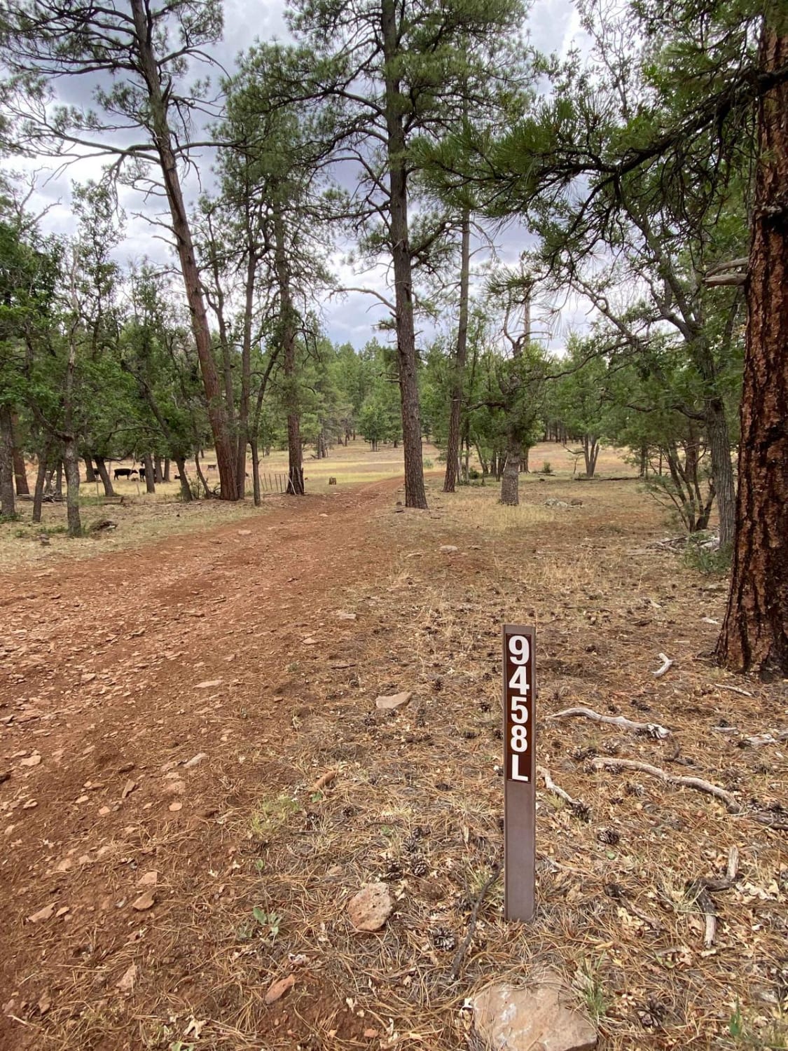
Trail Overview
This trail travels through Thistle Hollow, an area transitioning from high desert into the lower elevations of the White Mountains. Starting on the north end near Pinedale Road and traveling south toward Lone Pine Dam Road, the landscape gradually shifts from scrub brush and cactus to juniper and scattered pine trees. The north end includes a steep hill with off-camber sections and ruts that can be challenging, especially in snow or muddy conditions, and there is some trash near the northern access due to proximity to Snowflake and Taylor. Beyond that area, the route becomes more scenic with numerous spur trails that allow for extended exploration, and the area is commonly used for hunting, so advance research is recommended.
Photos of Thistle Hollow - FS 229
Difficulty
This trail features several steep, off-camber hills near the north end that are rutted and add an element of off-road challenge, especially when snow is present or conditions are wet and muddy. Most of the route is easier to travel, but high ground clearance is still required throughout.
Status Reports
Thistle Hollow - FS 229 can be accessed by the following ride types:
- High-Clearance 4x4
- SUV
- SxS (60")
- ATV (50")
- Dirt Bike
Thistle Hollow - FS 229 Map
Popular Trails
Hunt Tank Shortcut
Deadwood Tank

Sim's Warm Up - Single Track
The onX Offroad Difference
onX Offroad combines trail photos, descriptions, difficulty ratings, width restrictions, seasonality, and more in a user-friendly interface. Available on all devices, with offline access and full compatibility with CarPlay and Android Auto. Discover what you’re missing today!