Sycamore Pass Road
Total Miles
8.5
Technical Rating
Best Time
Spring, Summer, Fall, Winter
Trail Type
Full-Width Road
Accessible By
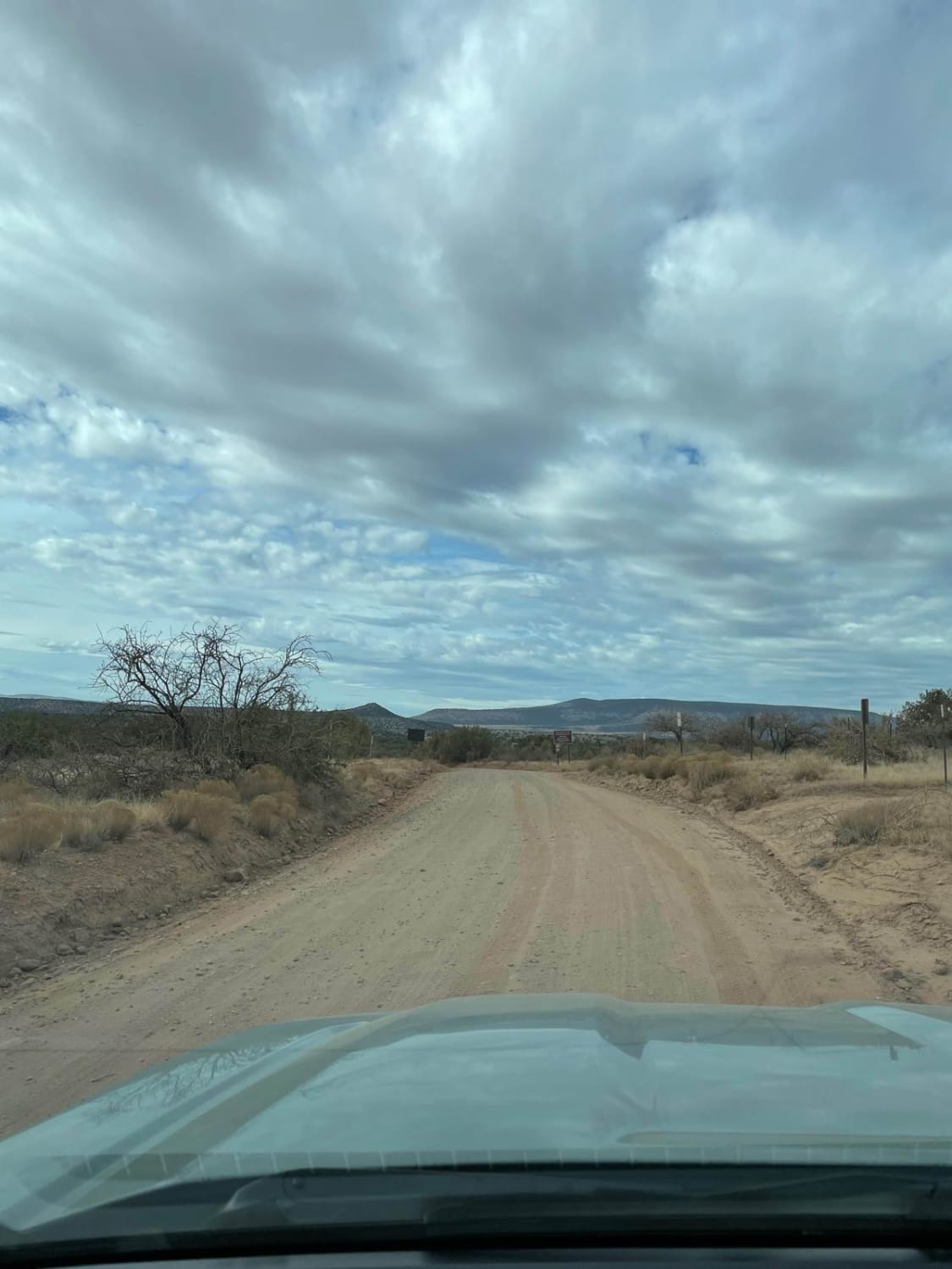
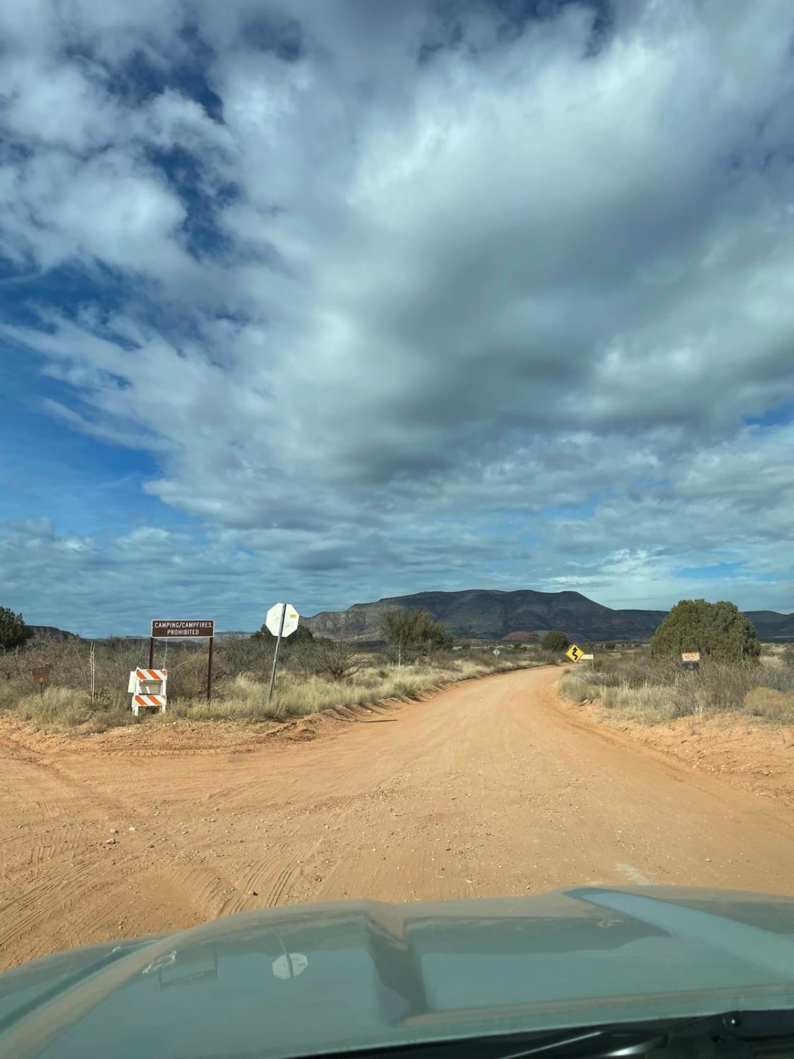
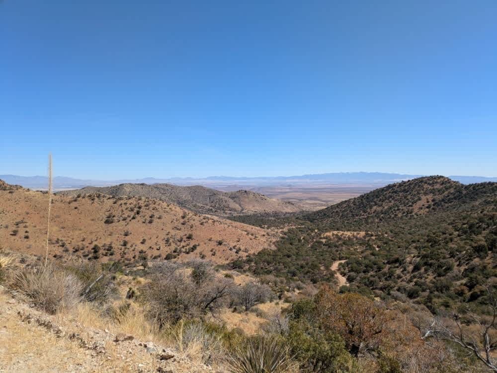
Trail Overview
This trail starts as a maintained road which turns to unmaintained as you get farther up the trail. The total distance of this trail is 8.5 miles, taking you from the start of FS Road 525C to the top of Sycamore Pass, which is the end of FS Road 525C. The last mile to Sycamore Pass becomes a little more rough with small rocky hill climbs and descents. Any stock 4x4 should have no problems as well as high-clearance 2WD vehicles. Check conditions before hitting this trail since the Forest Service will close this road in bad weather. At the end of this road is access to Dogie Trail which is a hiking trail that goes into Sycamore Canyon Wilderness. Cell phone reception is spotty throughout this trail. No camping is allowed along this trail.
Photos of Sycamore Pass Road
Difficulty
Most of this trail is a 1 difficulty but the last 1-1.5 miles are a 2 difficulty.
Sycamore Pass Road can be accessed by the following ride types:
- High-Clearance 4x4
- SUV
- SxS (60")
- ATV (50")
- Dirt Bike
Sycamore Pass Road Map
Popular Trails
New Water Mountains

West Sawyer Road - P1538
Middlemarch Pass
The onX Offroad Difference
onX Offroad combines trail photos, descriptions, difficulty ratings, width restrictions, seasonality, and more in a user-friendly interface. Available on all devices, with offline access and full compatibility with CarPlay and Android Auto. Discover what you’re missing today!