Secundino Trail Loop
Total Miles
7.9
Technical Rating
Best Time
Winter, Spring, Fall
Trail Type
Full-Width Road
Accessible By
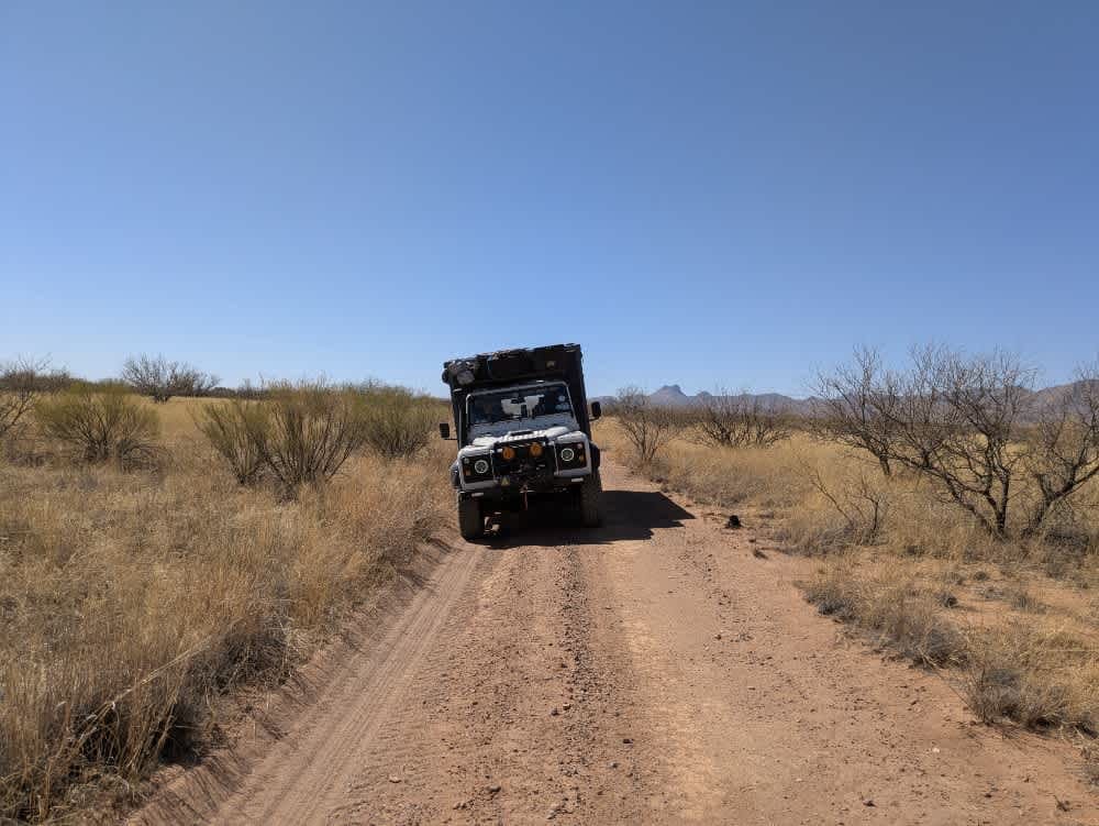
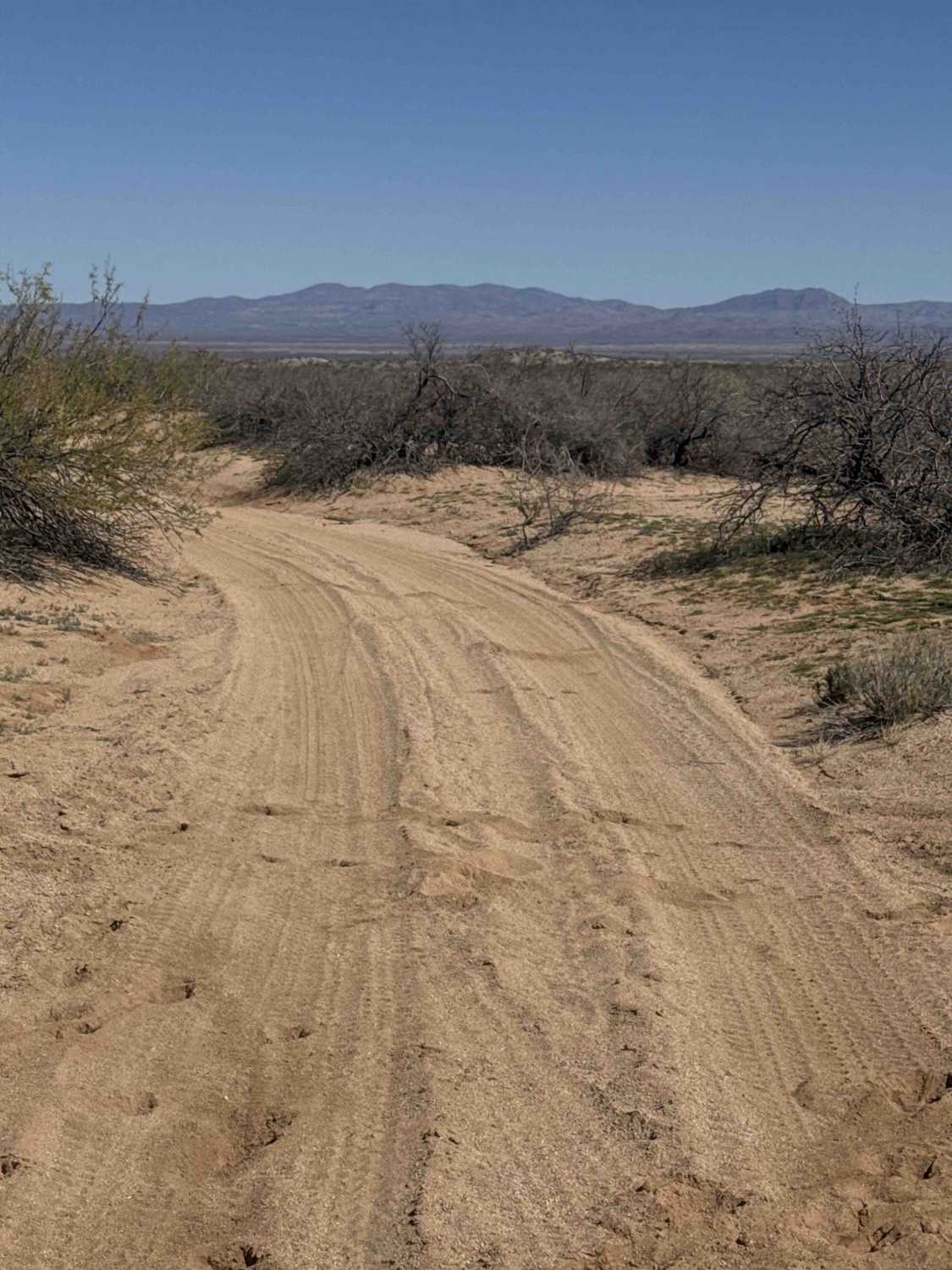
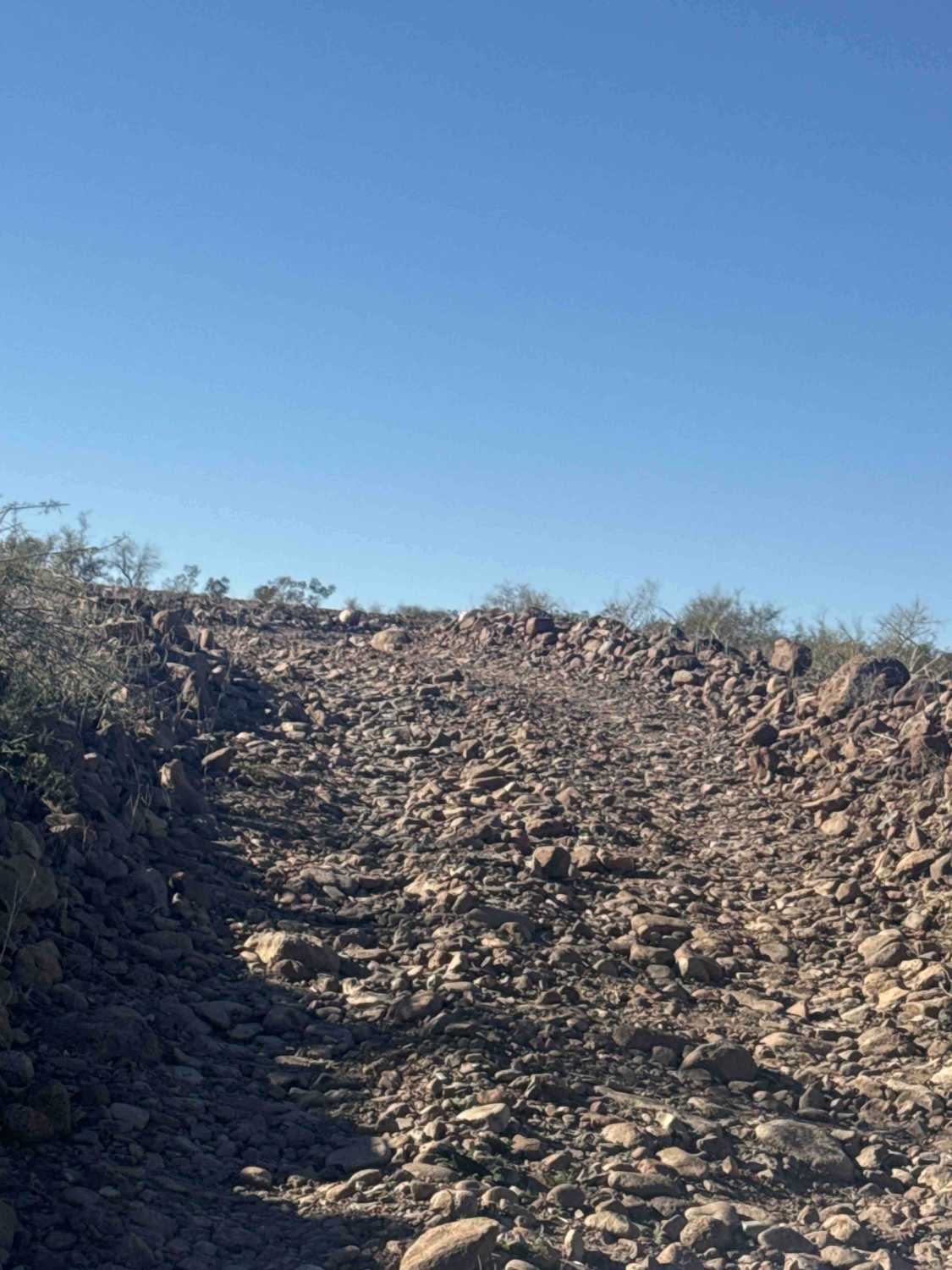
Trail Overview
The trail winds through sandy, sloping grasslands, offering a scenic drive with curving roads that weave through the open landscape. Several well-established campsites with fire rings provide excellent spots to set up camp while enjoying panoramic views reminiscent of the African savanna. The area is home to an abundance of white-tailed deer, and those driving slowly may have the opportunity to spot them along the route. This trail is also a popular choice for cyclists, and a nearby watering hole attracts wildlife, making it an ideal location for animal viewing. Near the old cattle ranch, a ranger's residence or office can be found, adding a historical element to the journey. The trail lacks amenities such as trash disposal and water supply, and it has limited cell service.
Photos of Secundino Trail Loop

Difficulty
This is a dusty and sandy single track.
History
The Buenos Aires National Wildlife Refuge, established in 1985, encompasses over 117,000 acres in the Altar Valley of southern Arizona. This refuge was created to protect and restore the semi-desert grassland ecosystem, providing habitat for a variety of threatened and endangered species, including the masked bobwhite quail and pronghorn.
Status Reports
Secundino Trail Loop can be accessed by the following ride types:
- High-Clearance 4x4
- SUV
- SxS (60")
- ATV (50")
- Dirt Bike
Secundino Trail Loop Map
Popular Trails

Sullivan Ridge
Long Valley Point
The onX Offroad Difference
onX Offroad combines trail photos, descriptions, difficulty ratings, width restrictions, seasonality, and more in a user-friendly interface. Available on all devices, with offline access and full compatibility with CarPlay and Android Auto. Discover what you’re missing today!