Power Punch
Total Miles
14.4
Technical Rating
Best Time
Spring, Summer, Fall
Trail Type
Full-Width Road
Accessible By
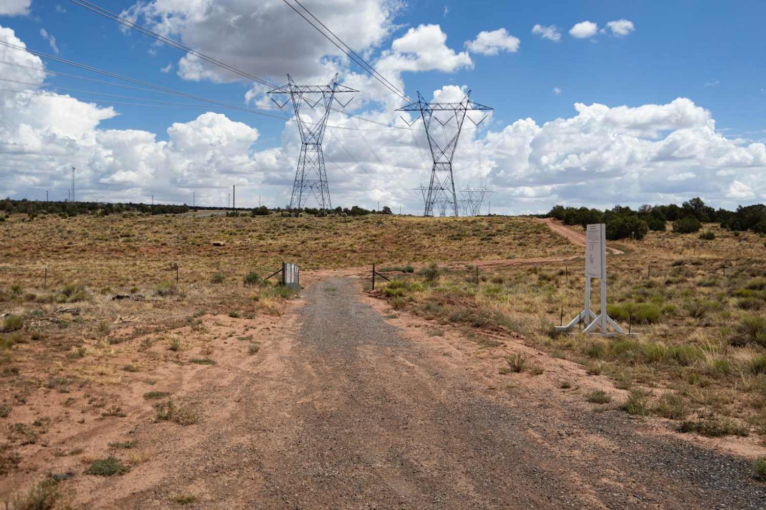
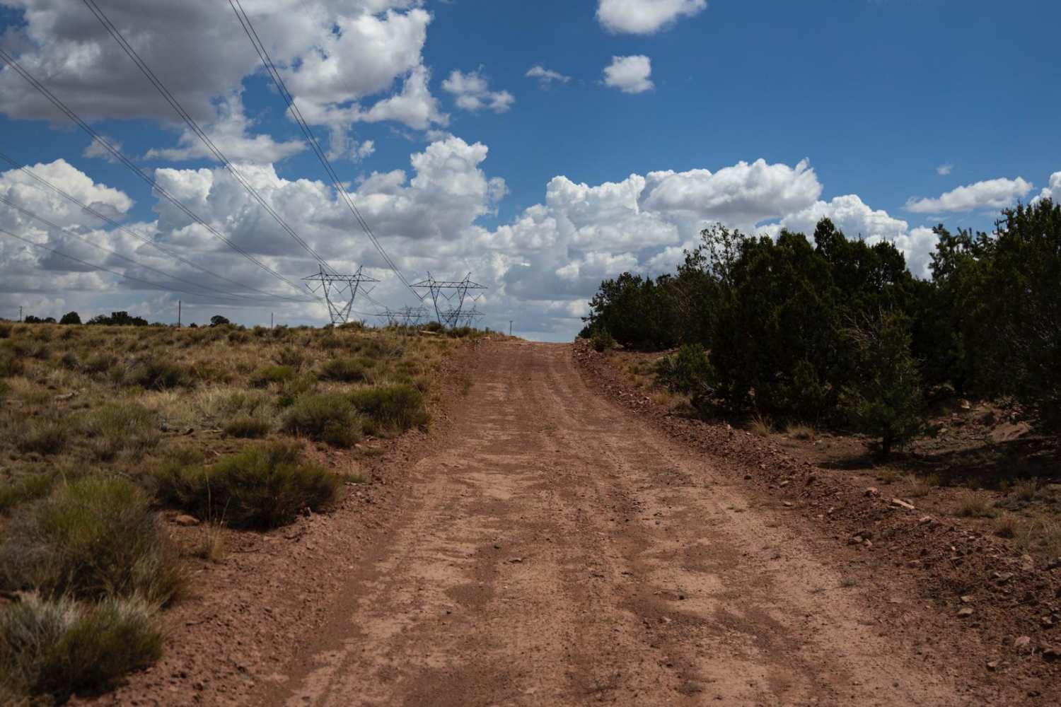
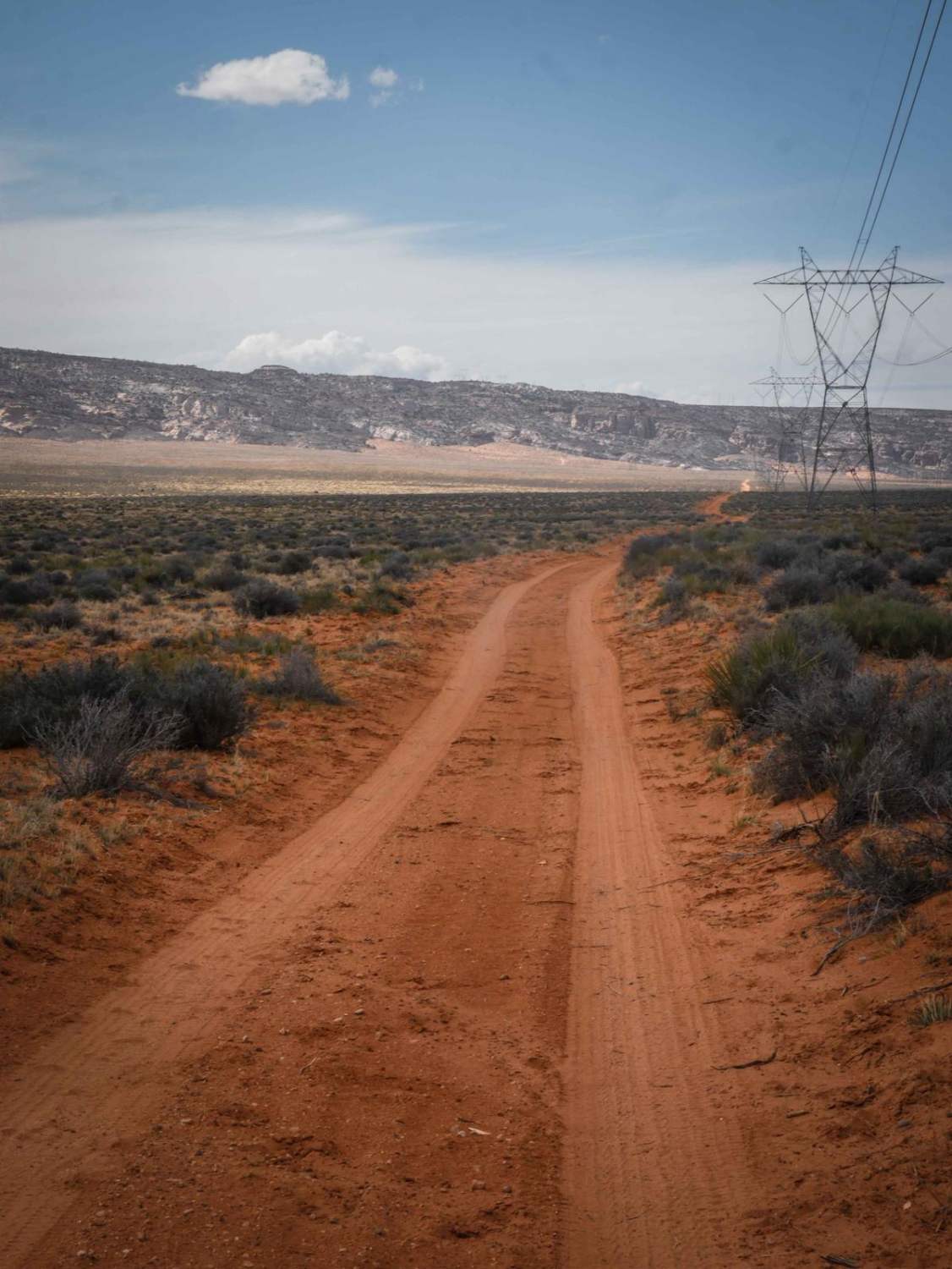
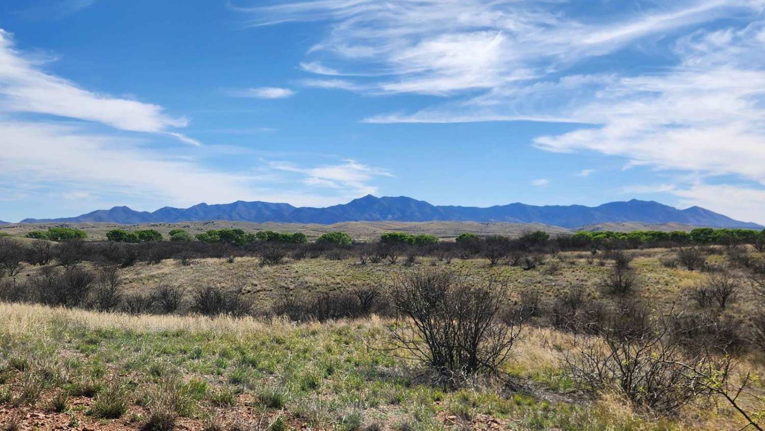
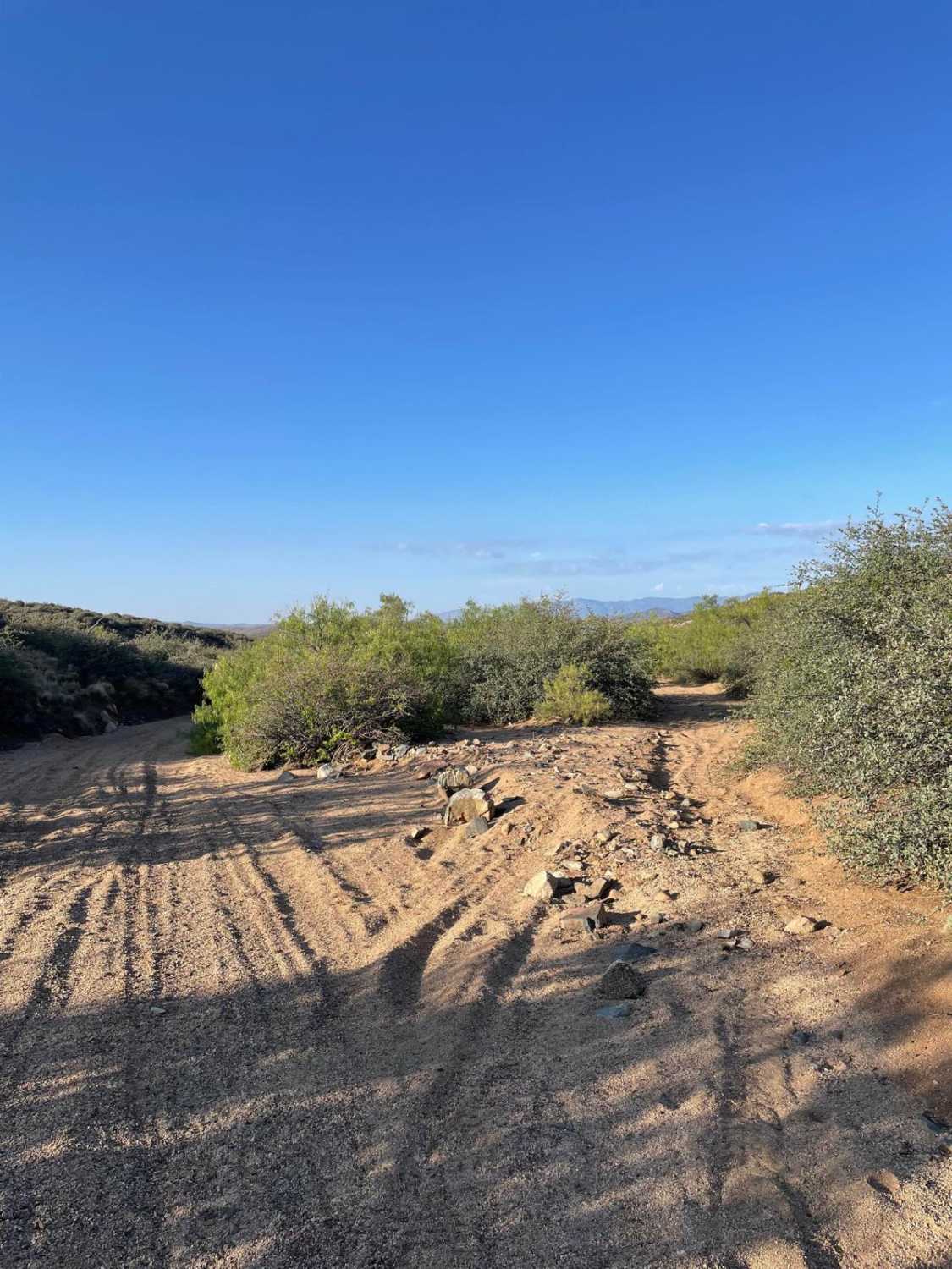
Trail Overview
The Power Punch trail is a one-lane trail that follows the main power line all the way from Arizona Highway 180 to the southeasternmost point of the Navajo Reservation. It is mostly rocky, with a brief stint of civilized trail that runs through the newly opened wind farm that sends all of its power to California. This trail encompasses many features, including sections of rock, mud ruts, small shelf climbs, hills, wash crossings, and chalky dried-out dirt. Along this trail, you'll travel mostly by undergrowth and sagebrush, with Juniper trees and small mixed pine in sight. Along the way, you might find Elk, Antelope, Deer, and horses, as well as cattle grazing. There are no major obstacles on this trail, but also no cell service, so offline maps are recommended.
Photos of Power Punch
Difficulty
This is an unmaintained trail that has numerous areas of rock and mud ruts. These areas may prove challenging after or during the local monsoon season, and conditions may change with use and water damage.
Status Reports
Power Punch can be accessed by the following ride types:
- High-Clearance 4x4
- SUV
- SxS (60")
- ATV (50")
- Dirt Bike
Power Punch Map
Popular Trails

Hoodoo Wash
Andrada Tank Loop FR 6905
The onX Offroad Difference
onX Offroad combines trail photos, descriptions, difficulty ratings, width restrictions, seasonality, and more in a user-friendly interface. Available on all devices, with offline access and full compatibility with CarPlay and Android Auto. Discover what you’re missing today!