Pipeline Trail
Total Miles
17.0
Technical Rating
Best Time
Spring, Winter, Fall
Trail Type
Full-Width Road
Accessible By
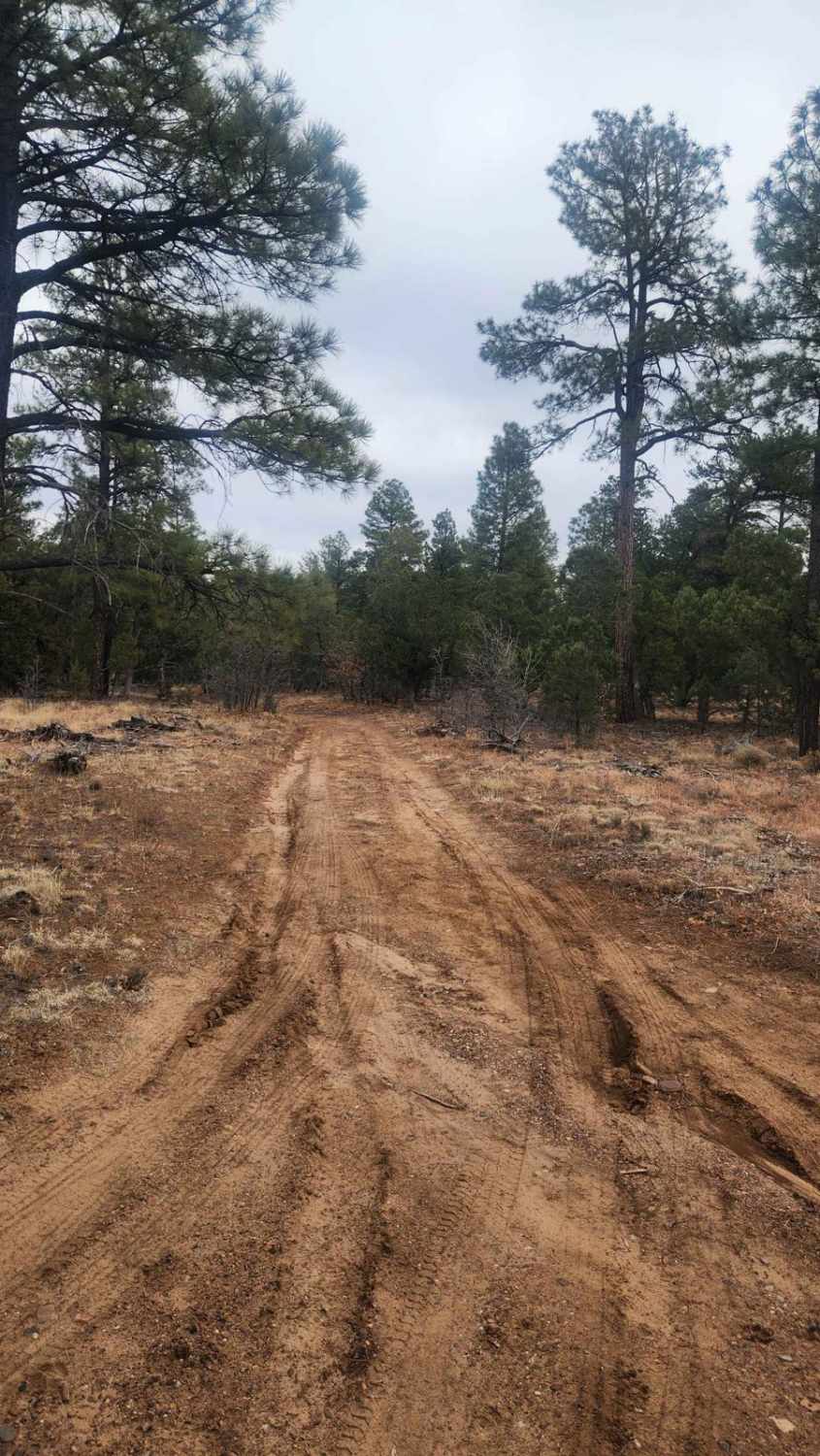
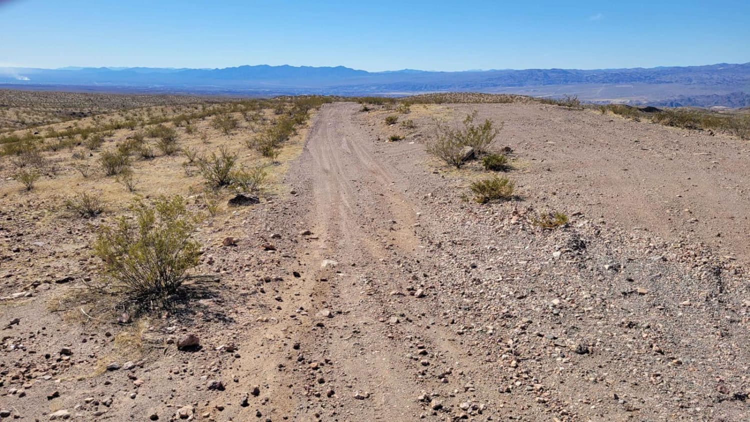
Trail Overview
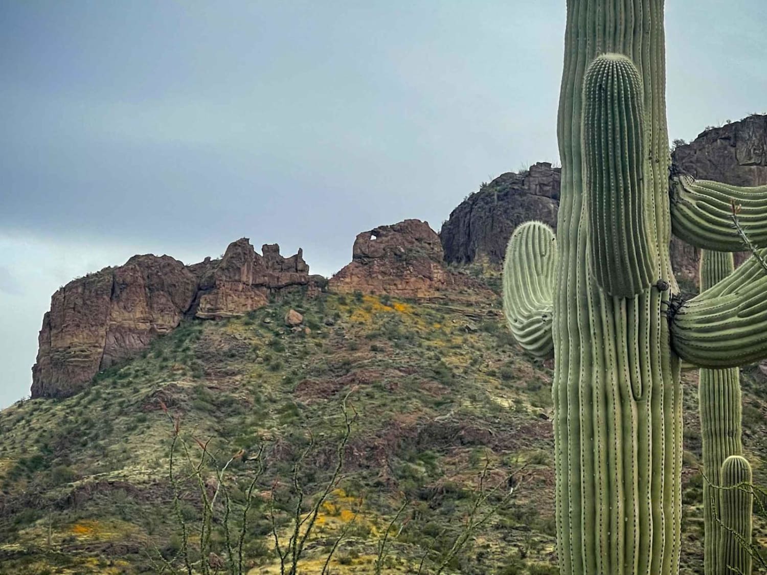
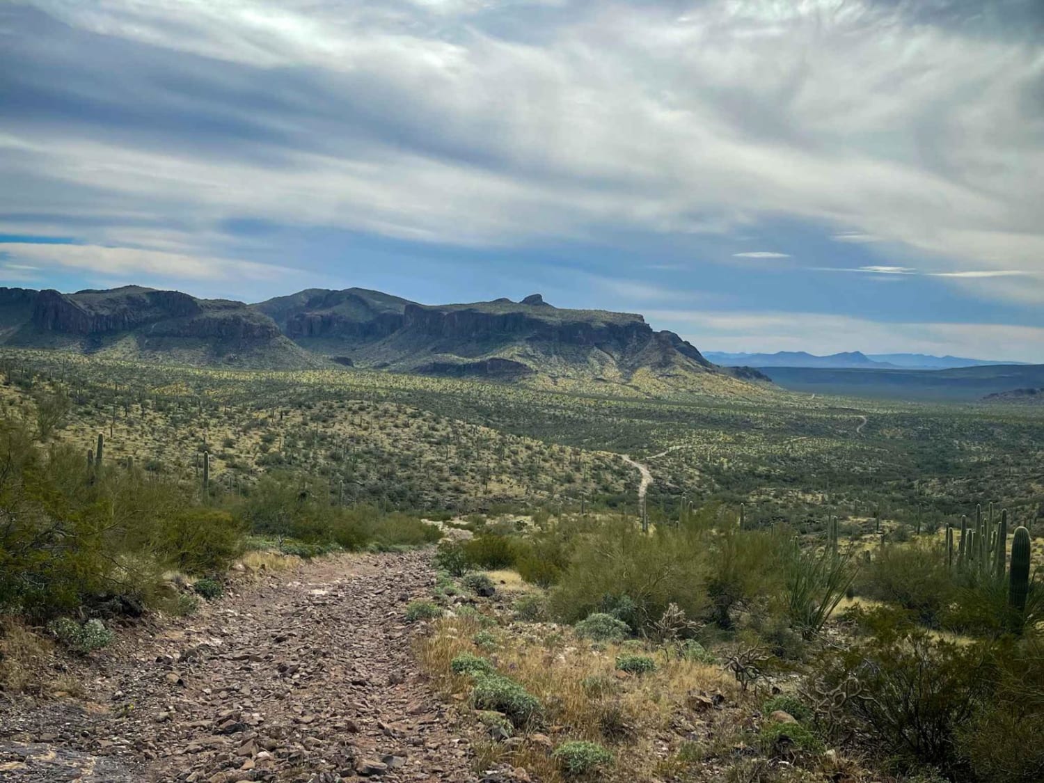
Pipeline Trail starts as a rocky two-track that runs near an open pit Copper mine, and off into the distance to the East. Though this road may seem like your typical easy trail, with some points being two or even three vehicles wide, it quickly deteriorates into a rough trail with long, steep, loose uphill climbs and sketchy descents. The downhill sections deserve a second look as erosion has created off-camber ledges on steep rough terrain. With many spur trails and side trips available, there's much to do and see in this ruggedly beautiful country. You'll pass old corrals and through beautiful, wide washes with steep, sudden entries and exits, lined with creosote, palo verde trees, and cacti. Evidence of coyotes, jackrabbits, and various birds of prey is everywhere along this route. Be aware that east of Burro Gap, this area is a high-activity area for border crossings so extreme caution and group travel is encouraged. This trail terminates at the Tohono Indian Reservation at its Eastern Boundary.
Photos of Pipeline Trail
Difficulty
Very rocky, rutted, and off-camber trail with erosion, loose rocks, sand, washes, and obstacles up to 3 feet tall, including ledges and short, steep grades.
Status Reports
Pipeline Trail can be accessed by the following ride types:
- High-Clearance 4x4
- SUV
- SxS (60")
- ATV (50")
- Dirt Bike
Pipeline Trail Map
Popular Trails
County Highway 5
Joe Tank Road (FR136)
Buck Wash Road
The onX Offroad Difference
onX Offroad combines trail photos, descriptions, difficulty ratings, width restrictions, seasonality, and more in a user-friendly interface. Available on all devices, with offline access and full compatibility with CarPlay and Android Auto. Discover what you’re missing today!