North Dry Creek Road to Vultee
Total Miles
2.0
Technical Rating
Best Time
Spring, Summer, Fall
Trail Type
Full-Width Road
Accessible By
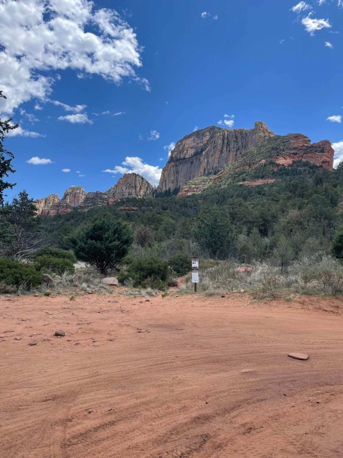
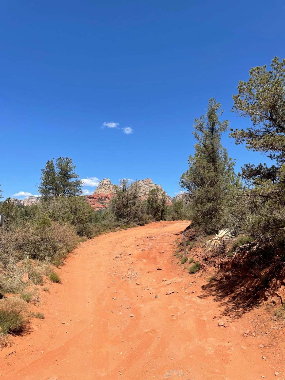
Trail Overview
It's hard to find isolation in Sedona. The end of this trail offers just that. The beginning of this trail starts at the turn-off to Van Deren Cabin and continues north. This trail is rough and rocky most of the way with some sandy sections at the end. There are several rock ledges to crawl down and up throughout this trail. Once you are at the end of this trail, you are greeted by a nice view of Lost Wilson Mountain. There is a parking area at the end of this trail to explore on foot. There are four main hiking trailheads along this road. It is highly recommended to have tires aired down while traveling this road.
Photos of North Dry Creek Road to Vultee
Difficulty
Expect an uneven rocky road with short steep grades accompanied by ledges.
Status Reports
North Dry Creek Road to Vultee can be accessed by the following ride types:
- High-Clearance 4x4
- SUV
- SxS (60")
- ATV (50")
- Dirt Bike
North Dry Creek Road to Vultee Map
Popular Trails

Centennial Dam
I-15 Tunnels


Battleground Ridge
The onX Offroad Difference
onX Offroad combines trail photos, descriptions, difficulty ratings, width restrictions, seasonality, and more in a user-friendly interface. Available on all devices, with offline access and full compatibility with CarPlay and Android Auto. Discover what you’re missing today!