Mount Ord
Total Miles
17.1
Technical Rating
Best Time
Spring, Summer, Fall
Trail Type
Full-Width Road
Accessible By
Trail Overview
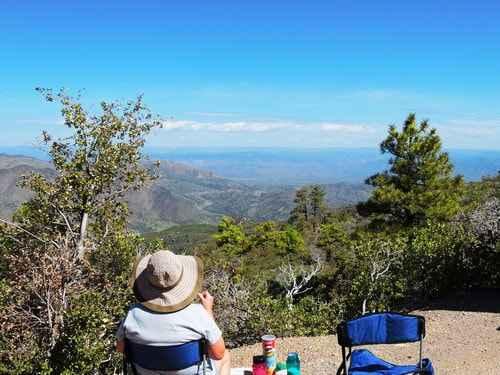
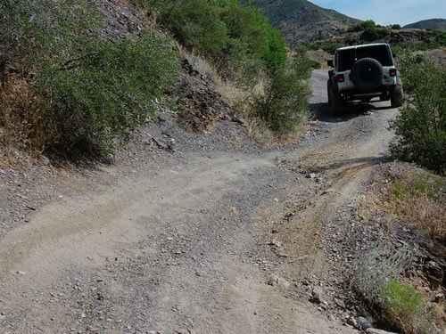
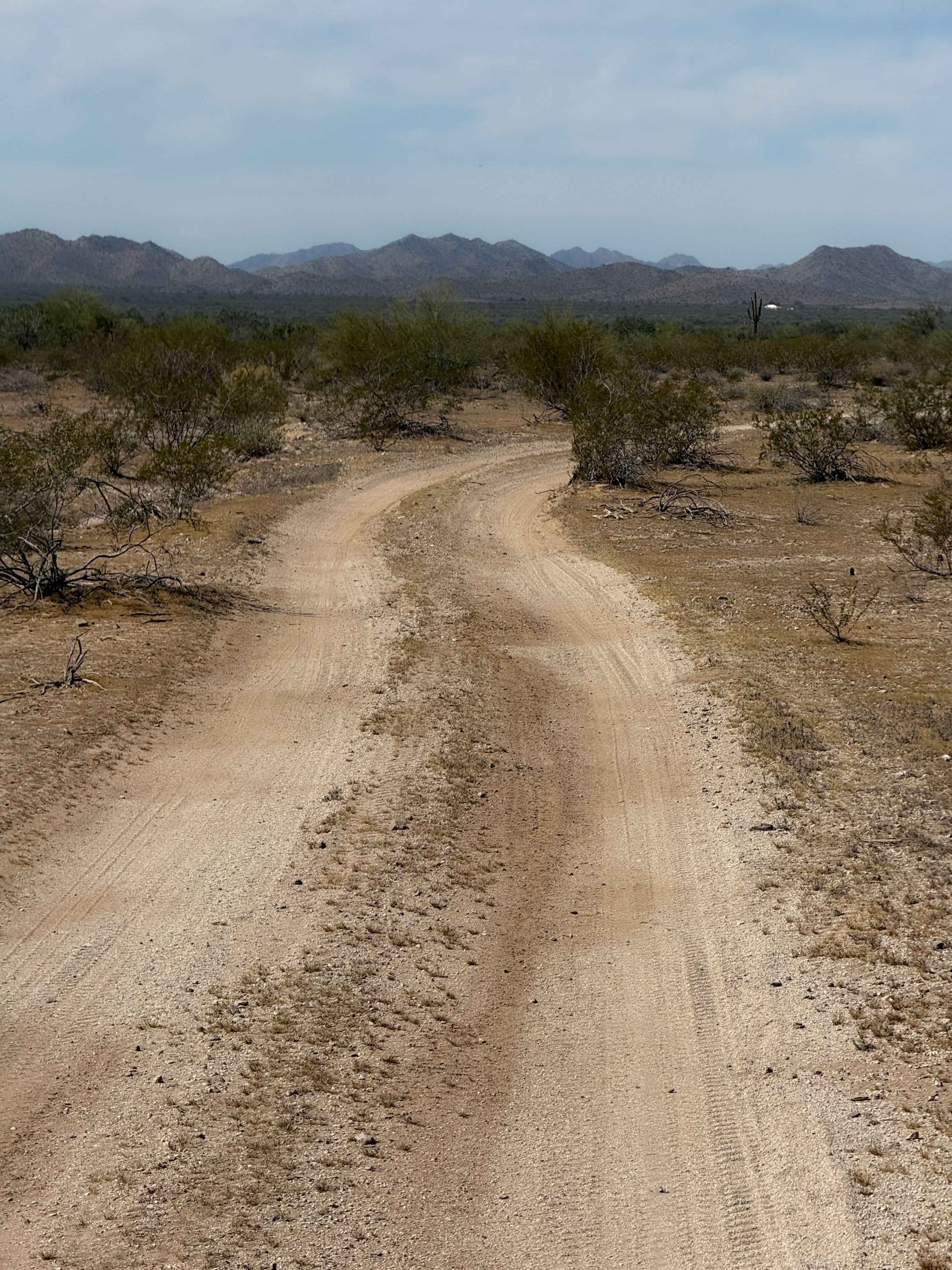
Mount Ord is almost 7,000 feet in elevation, so it is a nice place to be in hot weather, but not so good after a cold winter storm. This trip is an enjoyable way to spend a short day out in the brush--a fairly easy trail with great scenery. It can be done in any direction. Doing it from the north gets the few relatively easy challenges out of the way and then you can bop around some easy roads and coast on home. The northern 4WD road is Forest Service Road #27. It has a couple of tippy spots and numerous areas of gullies caused by erosion over the years. The main road to the peak (#626) is a well-graded road suitable for most vehicles. The road is gated before actually reaching the peak. There is no problem finding a lunch spot with a view. You might even see a prescribed burn beyond the Mogollon Rim. When you are done exploring the high country, head on down the west end to Highway 87.
Photos of Mount Ord
Difficulty
This is a mostly easy trail with a few washes. These can become larger after heavy storms.
Status Reports
Mount Ord can be accessed by the following ride types:
- High-Clearance 4x4
- SUV
- SxS (60")
- ATV (50")
- Dirt Bike
Mount Ord Map
Popular Trails
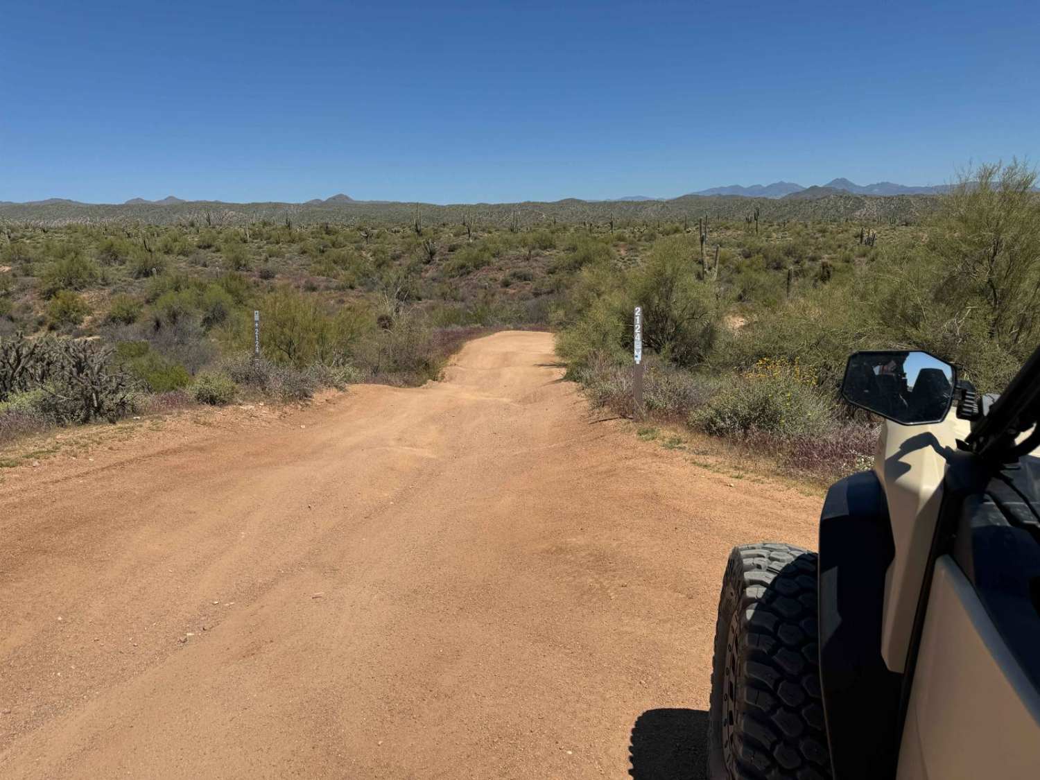
Tonto Trail 2123/2124 to Camp Creek Wash 413
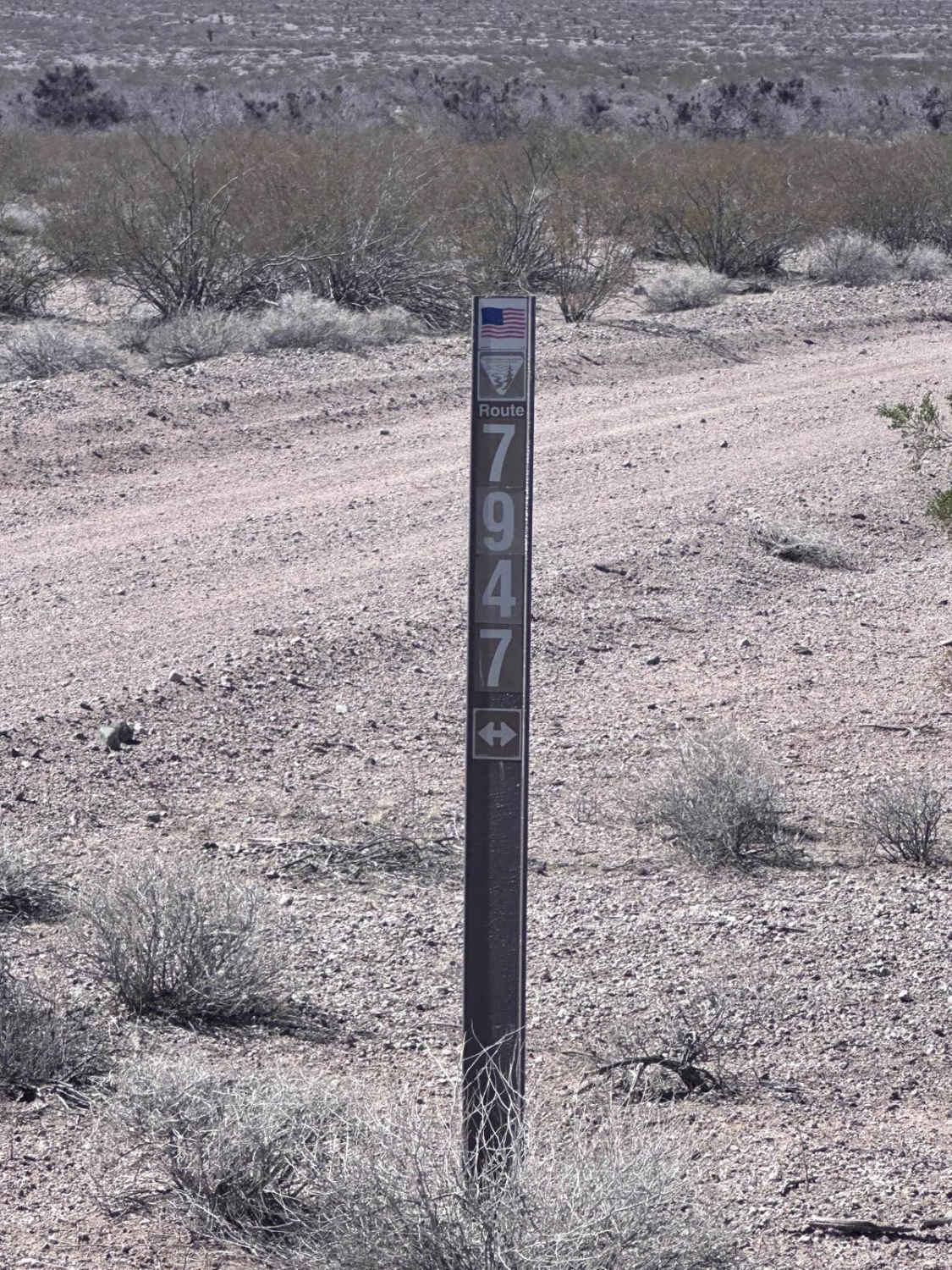
BLM Route 7947
Hidden Valley Road

Williamson Valley Road
The onX Offroad Difference
onX Offroad combines trail photos, descriptions, difficulty ratings, width restrictions, seasonality, and more in a user-friendly interface. Available on all devices, with offline access and full compatibility with CarPlay and Android Auto. Discover what you’re missing today!