Lower Wakefield Canyon
Total Miles
9.2
Technical Rating
Best Time
Spring, Summer, Fall, Winter
Trail Type
Full-Width Road
Accessible By
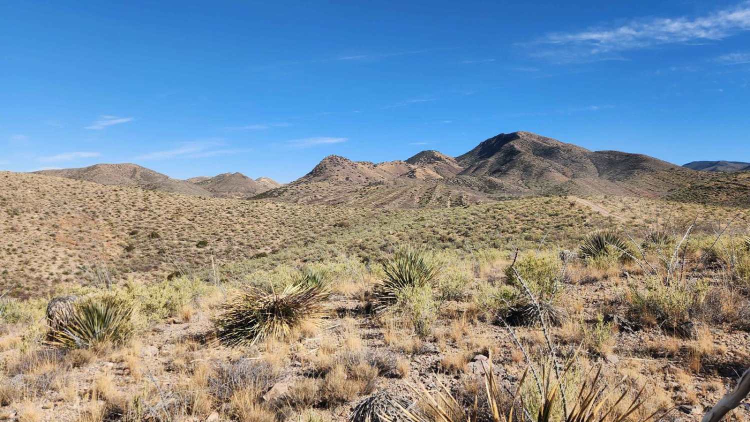
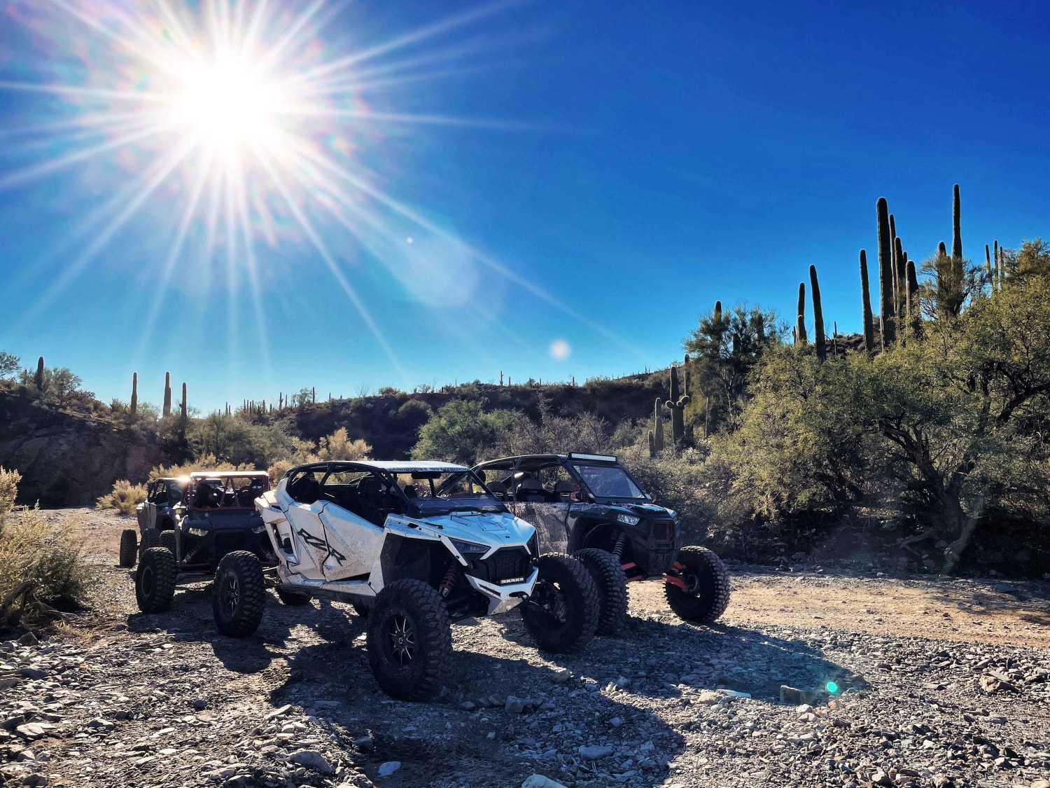
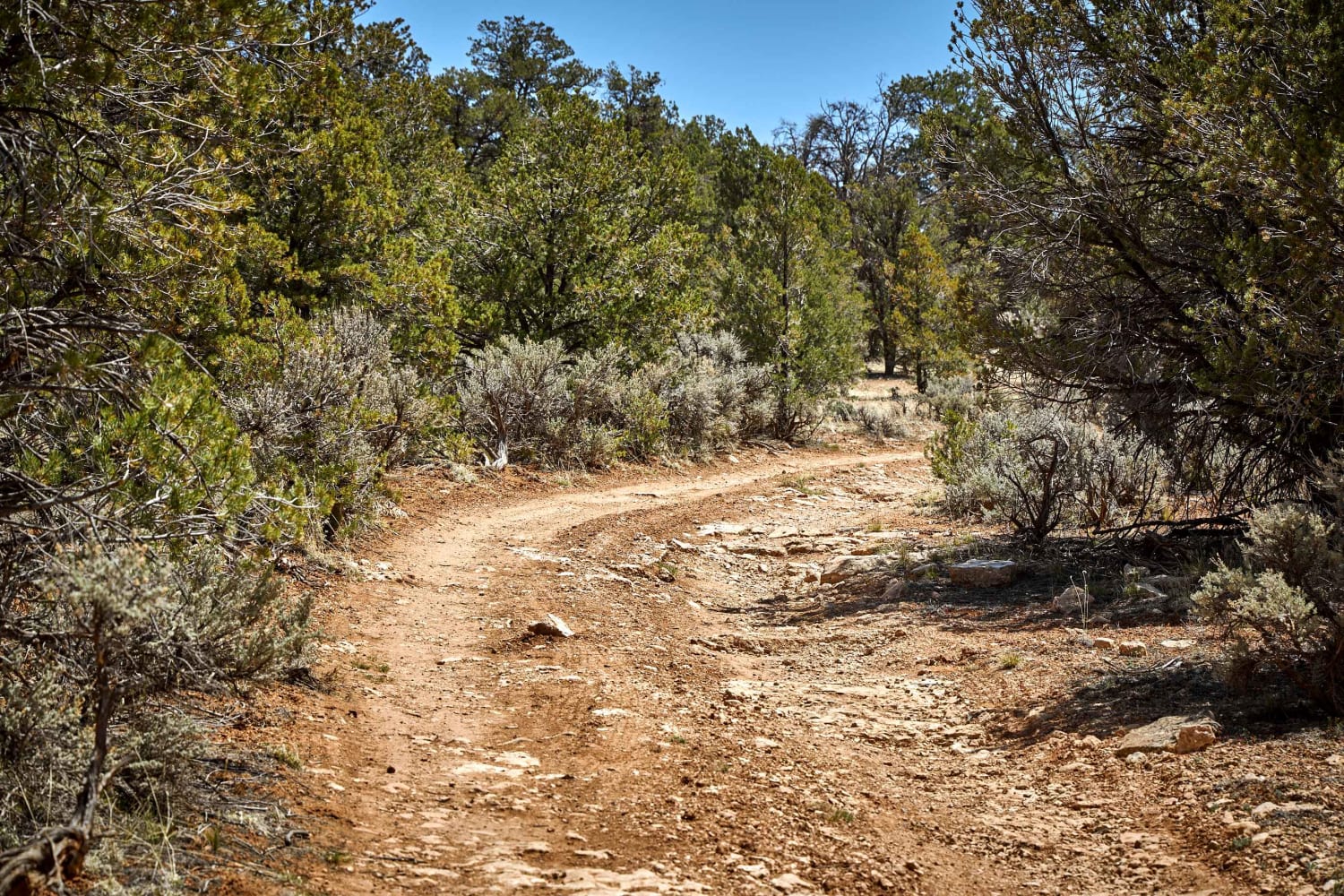
Trail Overview
This trail follows ridge lines, offering stunning views of the sprawling desert landscapes below. This trail's many sections are overgrown, making pinstriping nearly inevitable, particularly for larger vehicles. Just a wa ning if you plan on taking a bigger rig. Cell service in this area can be unreliable, so download your maps before heading out. Additiona ly, local ranches use this land for livestock, so please remember to leave gates as you found them or as indicated by any posted signs. State Tru t permits are required for this area.
Photos of Lower Wakefield Canyon

Difficulty
This trail presents an excellent opportunity for those seeking a moderately challenging trail. Riders will face various obstacles, including rocky terrain, rutted areas, off camber sections and steep inclines. This trail features several wash crossings that may contain water depending on recent rainfall. It includes several rocky hill climbs, where having at least a rear locker will be beneficial. The estimated completion time and difficulty level vary based on several factors, including the type of vehicle used and the riders ability.
Lower Wakefield Canyon can be accessed by the following ride types:
- High-Clearance 4x4
- SUV
- SxS (60")
- ATV (50")
- Dirt Bike
Lower Wakefield Canyon Map
Popular Trails
Axle Alley Loop
7 Mile Tank Road

Telephone Ridge

Section 10 Traverse
The onX Offroad Difference
onX Offroad combines trail photos, descriptions, difficulty ratings, width restrictions, seasonality, and more in a user-friendly interface. Available on all devices, with offline access and full compatibility with CarPlay and Android Auto. Discover what you’re missing today!