Hs66q
Total Miles
1.0
Technical Rating
Best Time
Winter, Spring, Fall
Trail Type
50" Trail
Accessible By
Trail Overview
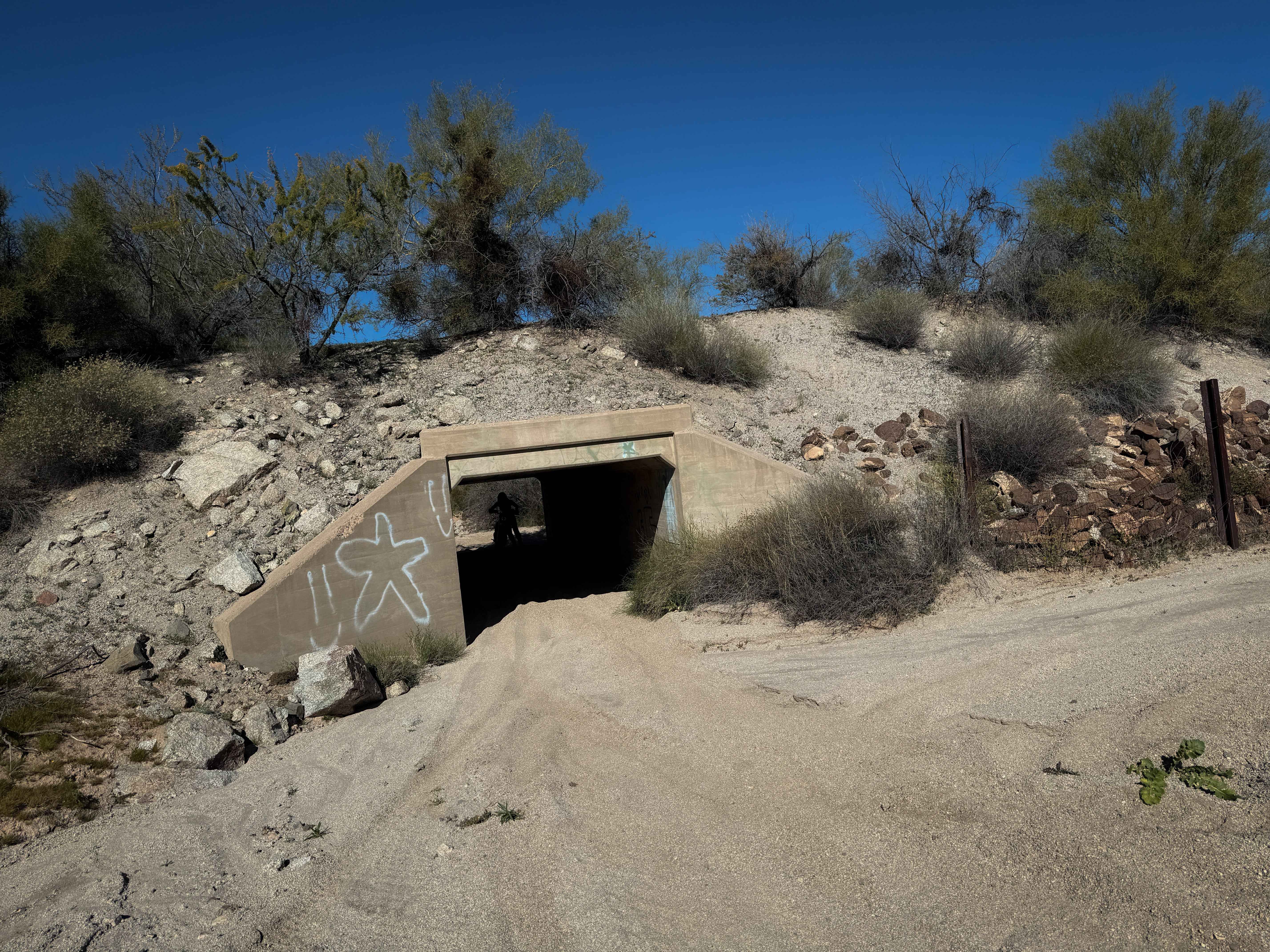
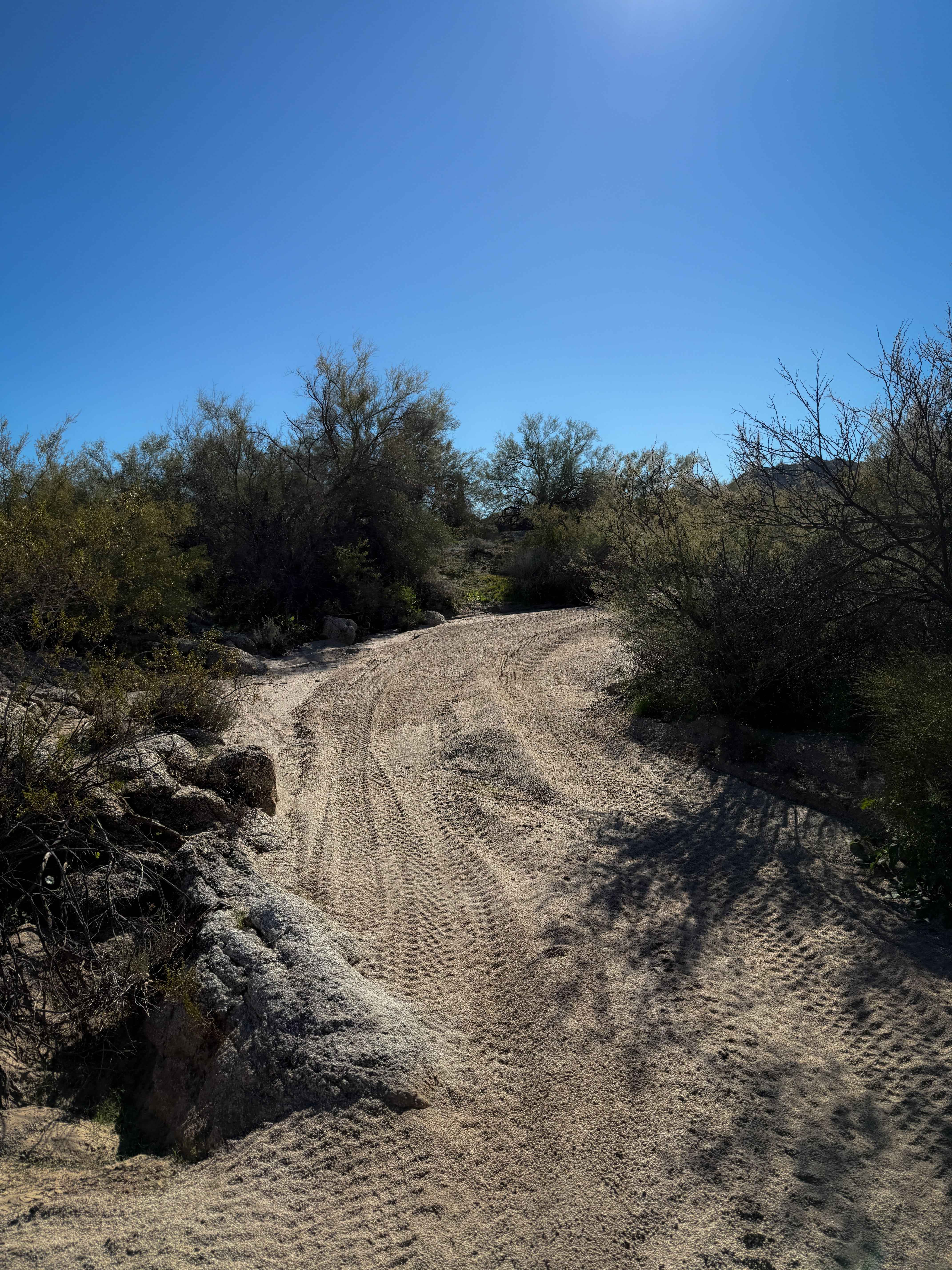
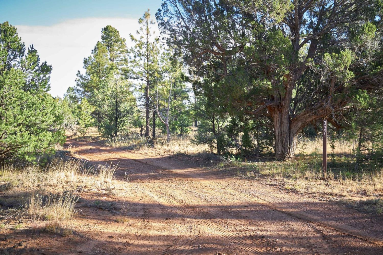
The north end of this trail starts north of Highway 60 and enters a couple of tunnels to go under the highway. The overhead clearance in the tunnels was really low, so watch your head. The northern half of the trail goes through a sand wash with deep sand and curvy, narrow sections in between oak trees and paloverde and creosote bushes. There are a couple of giant boulders lining the wash and lots of saguaros, making it pretty scenic. There are lots of split lines in the wash that are unmarked, so it's very helpful to have a map. The trail exits the wash onto a road section of trail near the southern end. There are no trail markings or signs for width designations in this system, which is an extensive network of primitive desert trails with endless intersections.
Photos of Hs66q
Difficulty
This is an easy trail as it stays in the wash most of the time, so it is ideal for newer riders with basic sand experience. There are no major obstacles on this route.
Status Reports
Hs66q can be accessed by the following ride types:
- ATV (50")
- Dirt Bike
Hs66q Map
Popular Trails
Birthing Place

Ledge Pipe Climb
The onX Offroad Difference
onX Offroad combines trail photos, descriptions, difficulty ratings, width restrictions, seasonality, and more in a user-friendly interface. Available on all devices, with offline access and full compatibility with CarPlay and Android Auto. Discover what you’re missing today!