Hs65l
Total Miles
1.6
Technical Rating
Best Time
Winter, Spring, Fall
Trail Type
50" Trail
Accessible By
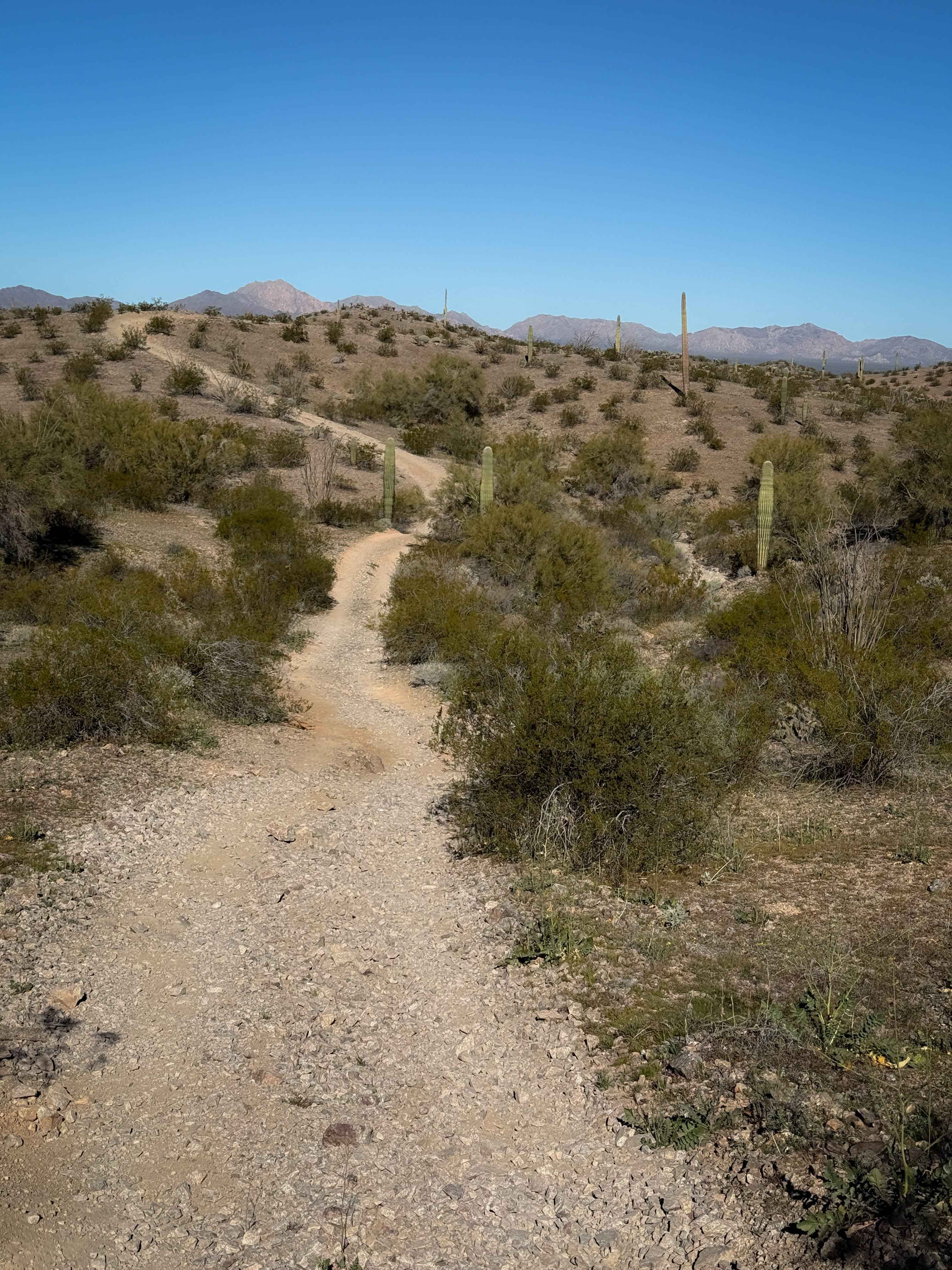
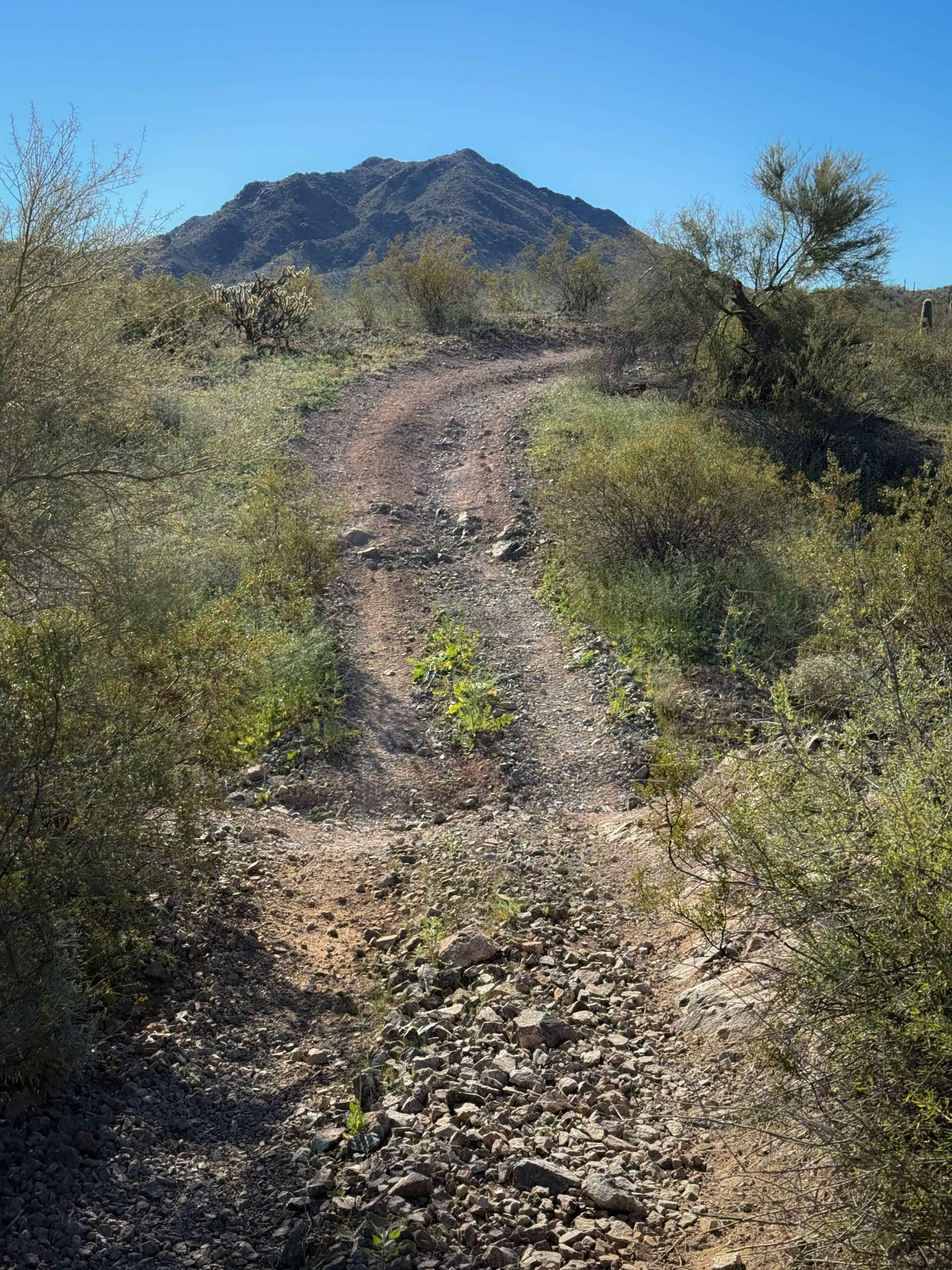
Trail Overview
This is a very easy road-width dirt trail through BLM land near Salome, Arizona. It goes very straight and flat with a few gradual curves. The surface has shallow bumps and dips and ruts, with a bit of loose rock and slab rock. It crosses a wide sandy wash where you need to watch out for UTVs and oncoming traffic. The trail goes between the tall bushes and cactus that are spiky and whack you as you pass. Tall saguaros are lining the trail as well that are very scenic. The trail only has minor elevation gain on a couple of really small hills that are very gradual. It easily connects to several other primitive desert trails in this area.
Photos of Hs65l
Difficulty
This trail is very easy and doesn't have any major technical elements, as it is mostly flat and straight with only a bit of loose rock and a sandy wash crossing. It is ideal for OHV users of all skill levels.
Status Reports
Hs65l can be accessed by the following ride types:
- ATV (50")
- Dirt Bike
Hs65l Map
Popular Trails

Flat Canyon Expressway - Single Track

Camp Mojave to Linda Mine
The onX Offroad Difference
onX Offroad combines trail photos, descriptions, difficulty ratings, width restrictions, seasonality, and more in a user-friendly interface. Available on all devices, with offline access and full compatibility with CarPlay and Android Auto. Discover what you’re missing today!