HN452
Total Miles
1.1
Technical Rating
Best Time
Summer, Spring, Fall, Winter
Trail Type
Full-Width Road
Accessible By
Trail Overview
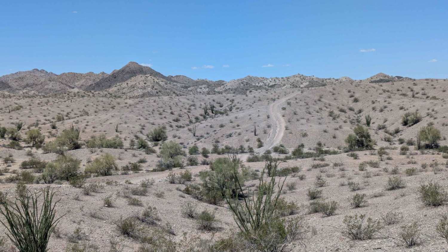
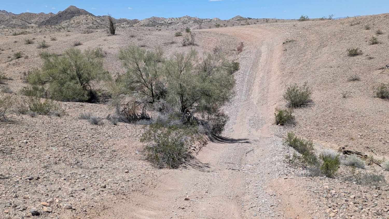
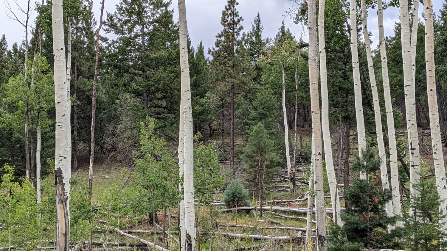
BLM HN452 may be short, but it plays a key role in connecting several of the region's major trail systems--including Yellowstone, HN127, HN101, 4335, and the Goat Hill trails. This rugged connector winds its way over hills and into small washes, offering a dynamic ride through desert terrain with striking mountain views all around. The surface is a mix of sand and gravel with steep climbs, off-camber turns, and rutted segments that demand attention. While it's a relatively brief route, the constant elevation changes and loose footing make it a real workout for both driver and machine. If you're looking for a challenging shortcut between valleys or linking up with bigger loops, this trail delivers.
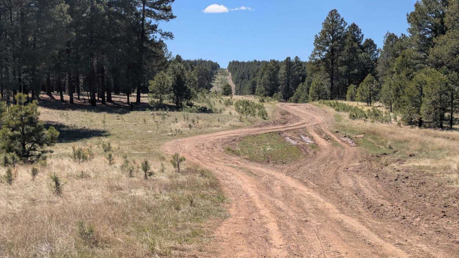
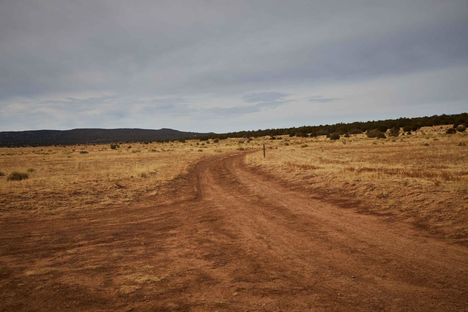
Photos of HN452
Difficulty
Expect sandy climbs, loose gravel, off-camber turns, and deep ruts. High clearance 4x4 is strongly recommended to safely navigate the terrain.
Status Reports
HN452 can be accessed by the following ride types:
- High-Clearance 4x4
- SUV
HN452 Map
Popular Trails
FS 518C Cutoff

Wash to Sky - Single Track
Cole Campbell
Beyond Escudilla
The onX Offroad Difference
onX Offroad combines trail photos, descriptions, difficulty ratings, width restrictions, seasonality, and more in a user-friendly interface. Available on all devices, with offline access and full compatibility with CarPlay and Android Auto. Discover what you’re missing today!