Greens Peak Lookout (FS 61C)
Total Miles
3.2
Technical Rating
Best Time
Spring, Summer, Fall
Trail Type
High-Clearance 4x4 Trail
Accessible By

Trail Overview
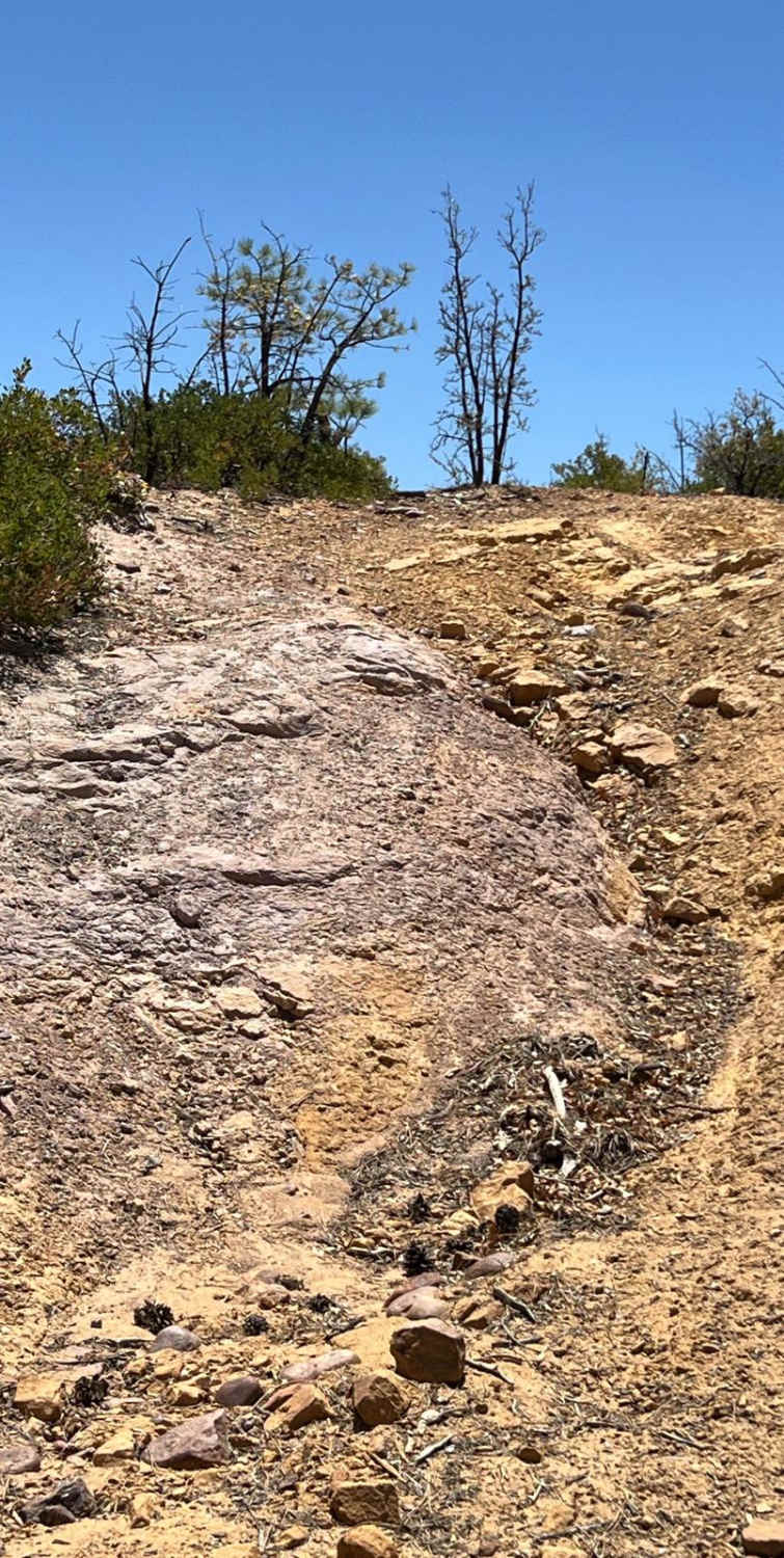
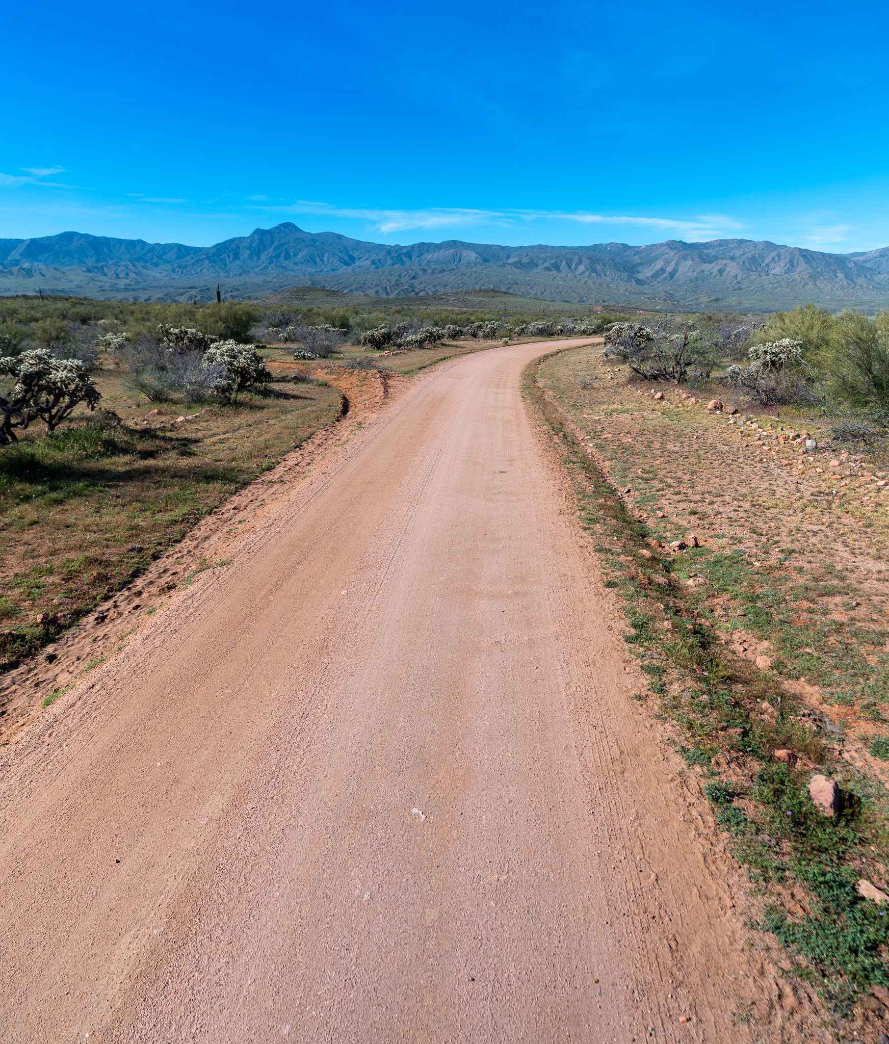
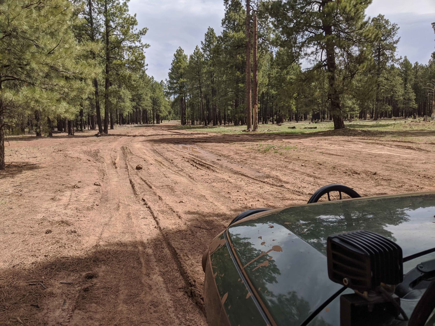
Greens Peak Lookout (FS 61C) is a high-elevation forest road suited for drivers with high-clearance 4x4 vehicles seeking a moderate, scenic climb to one of the best viewpoints in eastern Arizona. Beginning off Udall Draw Road (FS 61) in the Springerville Ranger District, the route steadily ascends through dense stands of ponderosa pine and mixed conifer, transitioning from well-graded gravel to rougher native soil with intermittent rocky patches as elevation increases. The road is not formally rated but aligns with typical moderate Forest Service designations, requiring careful tire placement in rutted or uneven sections, especially after storms. As the climb progresses toward the 10,000-foot summit of Greens Peak, the air cools and views begin to open, culminating at the historic fire lookout and surrounding communication sites. The final approach narrows significantly with limited turnaround space, making situational awareness important when encountering other vehicles or recreation users. Seasonal timing plays a major role in accessibility, with snow often lingering into late spring and early winter storms quickly closing the route, while summer monsoons can create muddy, potentially impassable conditions. Drivers should be prepared for sudden weather changes at elevation, including fog, lightning, and strong winds, and should expect occasional hazards such as washouts or downed trees depending on recent conditions.
Status Reports
Greens Peak Lookout (FS 61C) can be accessed by the following ride types:
- High-Clearance 4x4
Greens Peak Lookout (FS 61C) Map
Popular Trails
Straight Ridge

Vicksburg Valley
Gratham Ranch Road
Compression Station Road
The onX Offroad Difference
onX Offroad combines trail photos, descriptions, difficulty ratings, width restrictions, seasonality, and more in a user-friendly interface. Available on all devices, with offline access and full compatibility with CarPlay and Android Auto. Discover what you’re missing today!