Go West
Total Miles
3.0
Technical Rating
Best Time
Spring, Summer, Fall, Winter
Trail Type
Full-Width Road
Accessible By
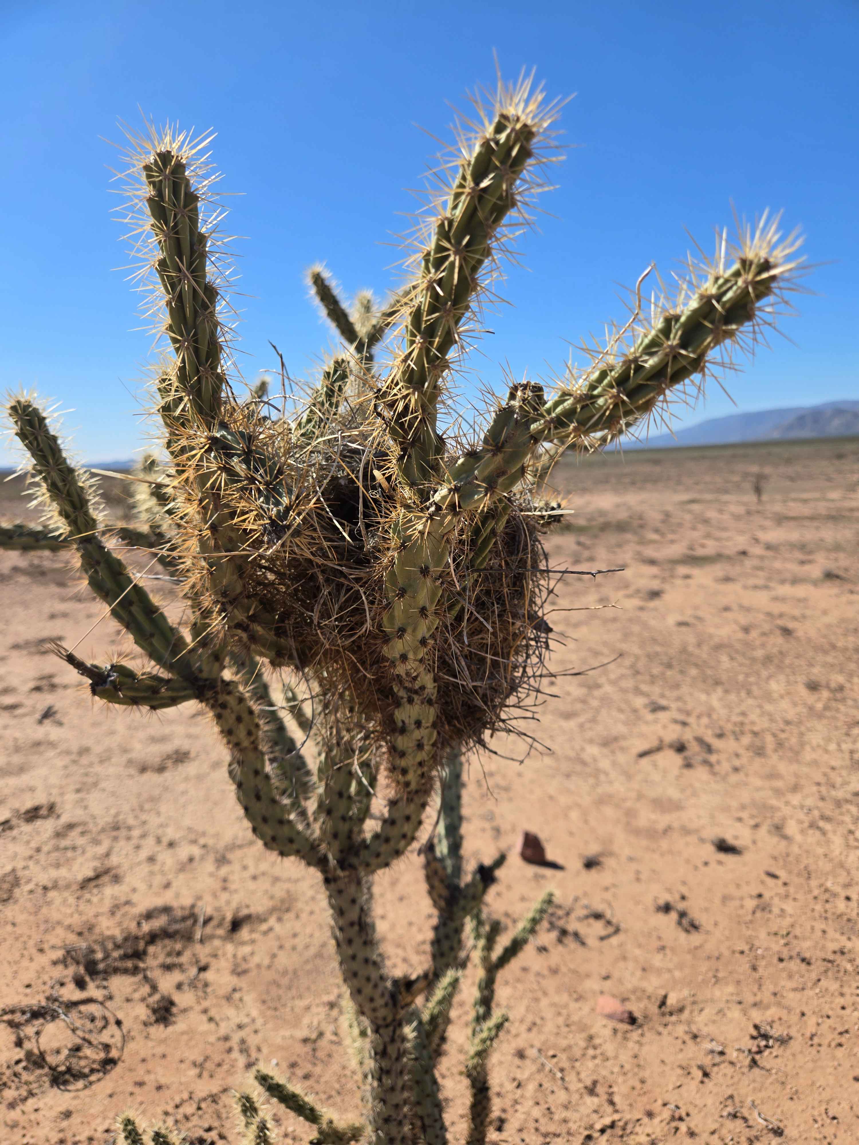
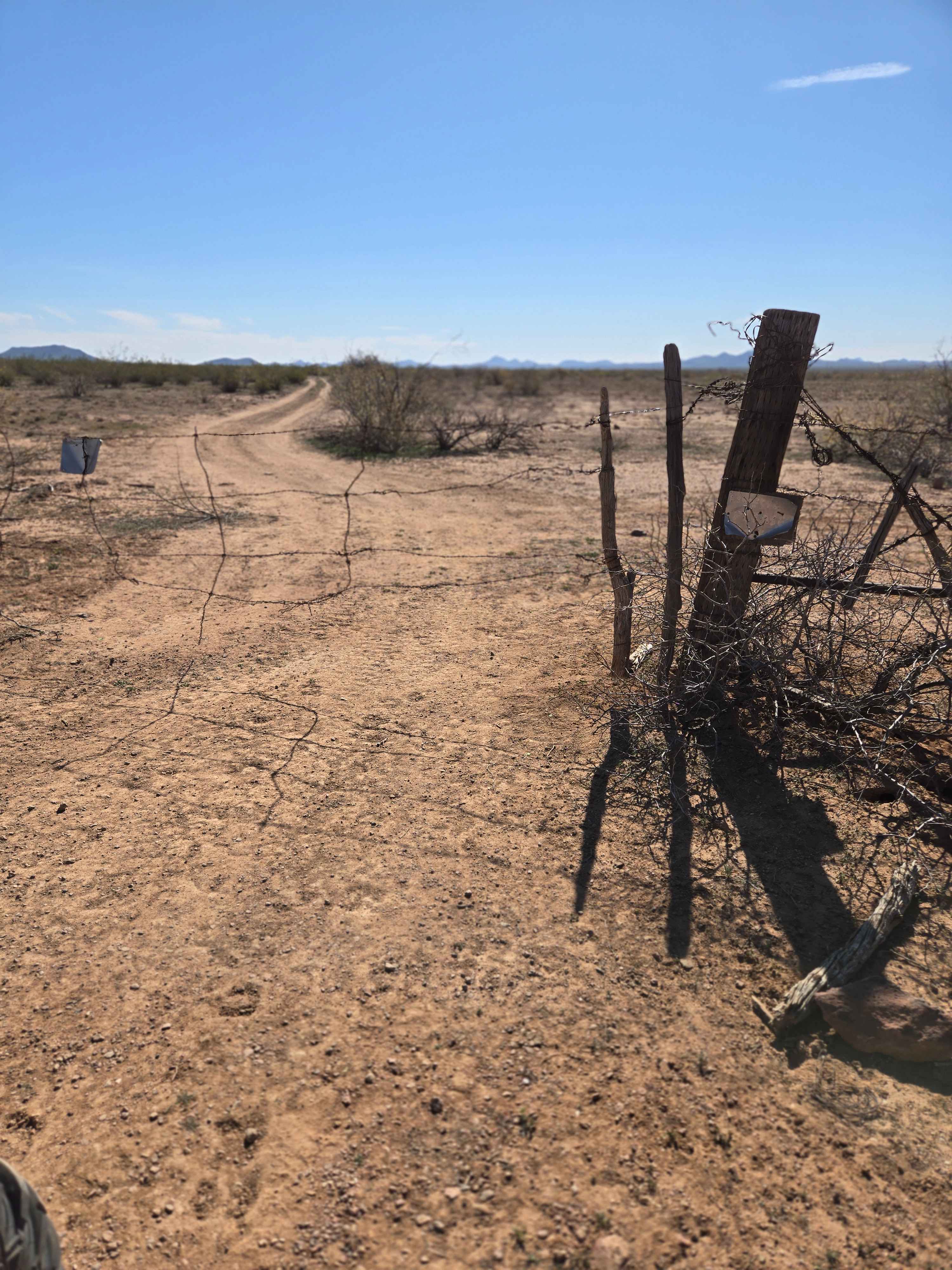
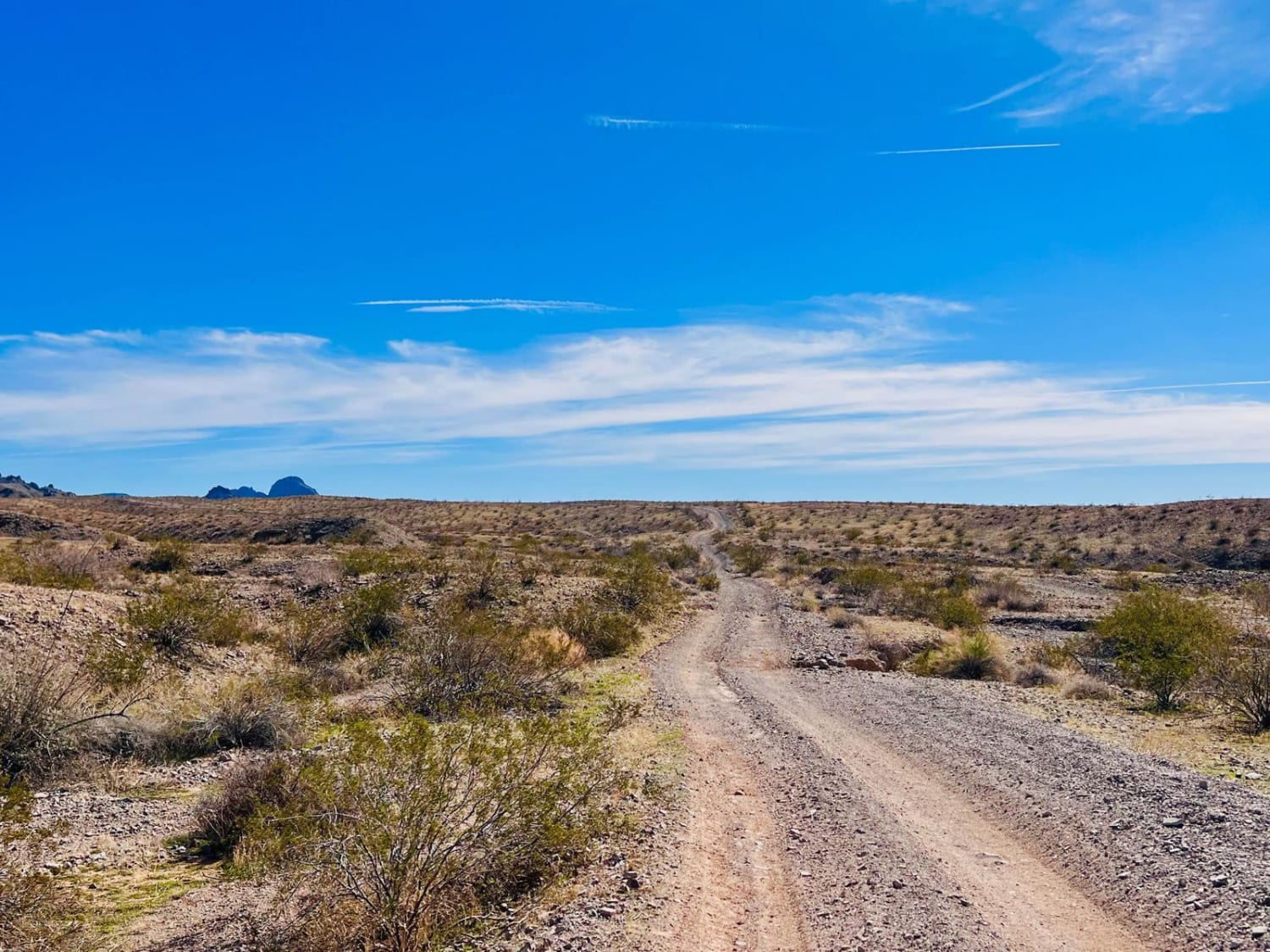
Trail Overview
This trail heads off in a westerly direction past some desert trees and plants. You will be able to see the power lines off in the distance as a reference point. There are views of the mountains in the distance. The Harquahala mountain may have snow on top in the winter. As you head west, you will end up on Dusty Power trail which follows the power lines. From that trail, you can take one of the shortcut-across trails to get to North Aguila Road.
Photos of Go West
Difficulty
This trail is like most desert trails, both dirt and sand. 4x4 may be required during inclement weather. No tight turns and no large obstacles.
Status Reports
Go West can be accessed by the following ride types:
- High-Clearance 4x4
- SUV
- SxS (60")
- ATV (50")
- Dirt Bike
Go West Map
Popular Trails
Golden Mile Trail
Oatman Quarry AZPT to Linda Mine Cutover

32008 32007 32144 - Single Track
The onX Offroad Difference
onX Offroad combines trail photos, descriptions, difficulty ratings, width restrictions, seasonality, and more in a user-friendly interface. Available on all devices, with offline access and full compatibility with CarPlay and Android Auto. Discover what you’re missing today!