Gas Line Trail
Total Miles
3.8
Technical Rating
Best Time
Spring, Summer, Fall
Trail Type
Full-Width Road
Accessible By
Trail Overview
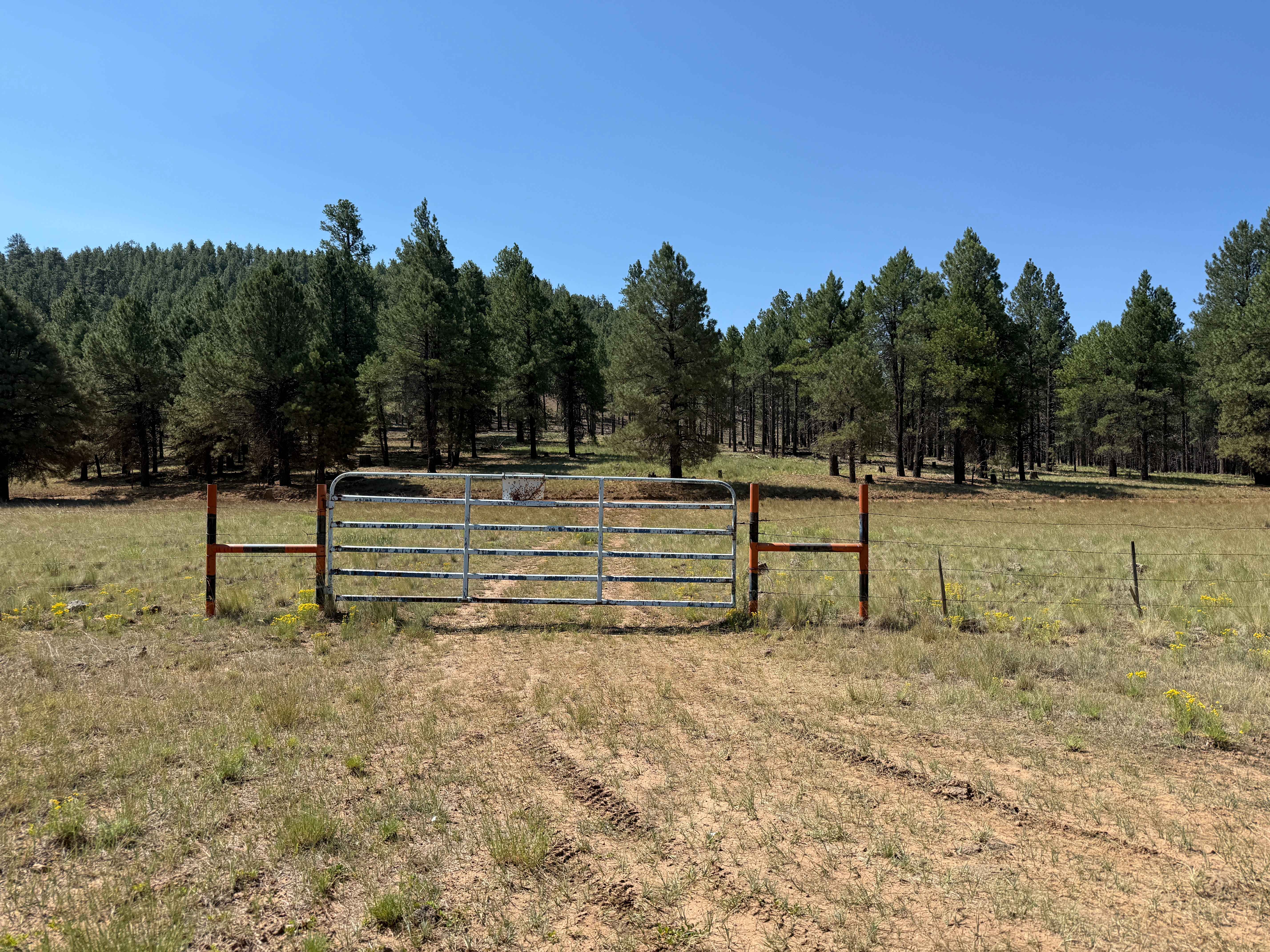
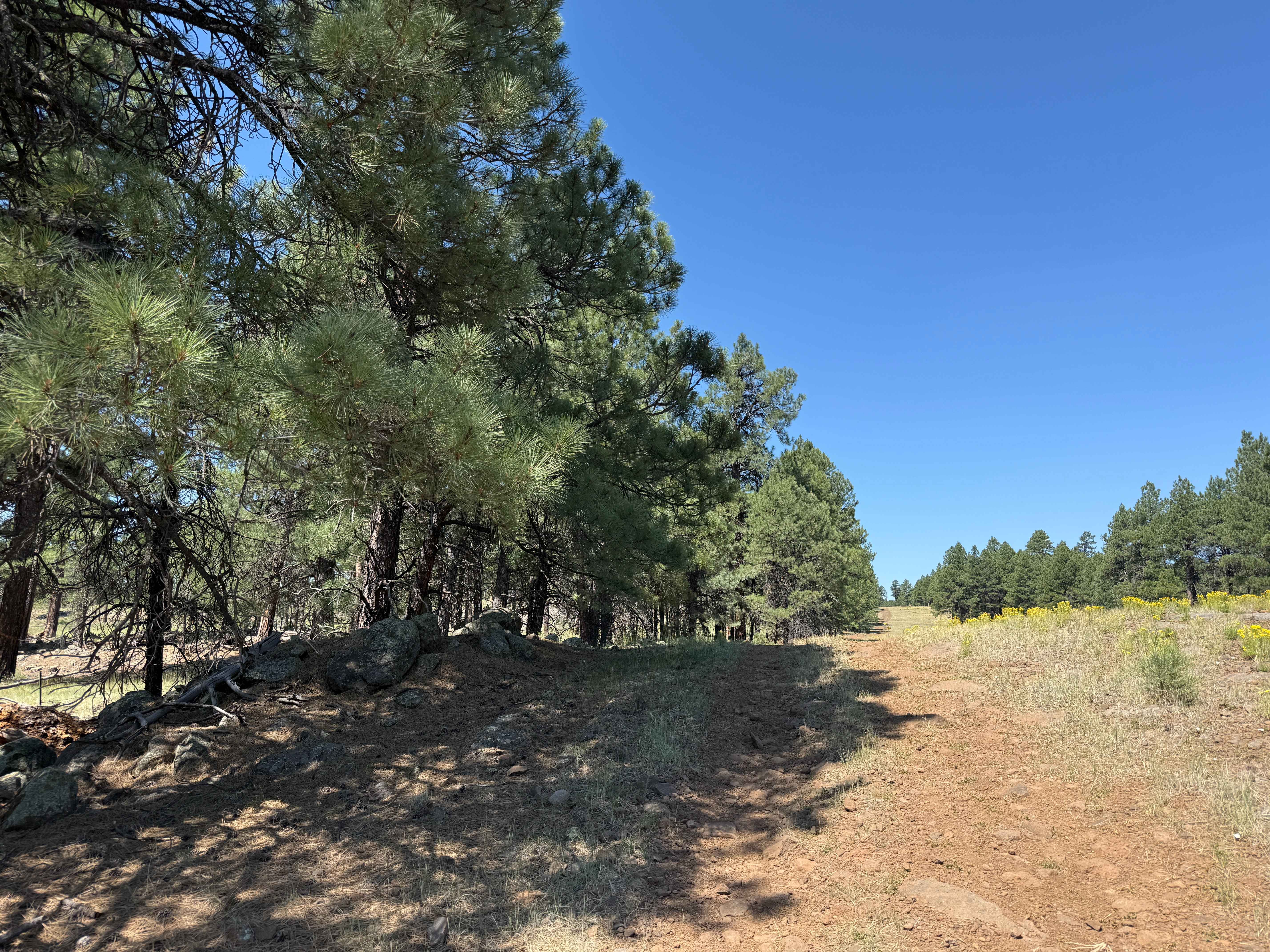
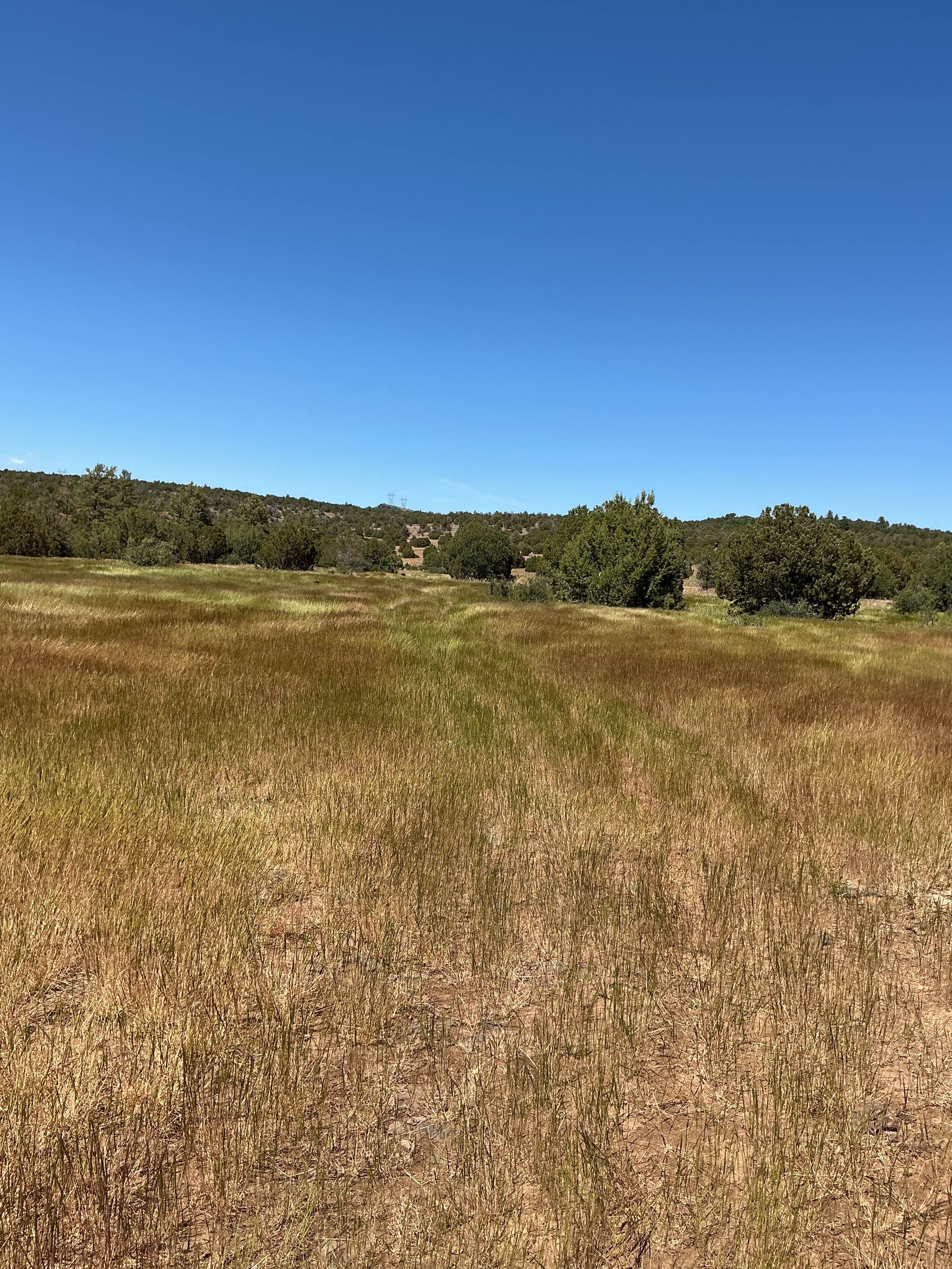
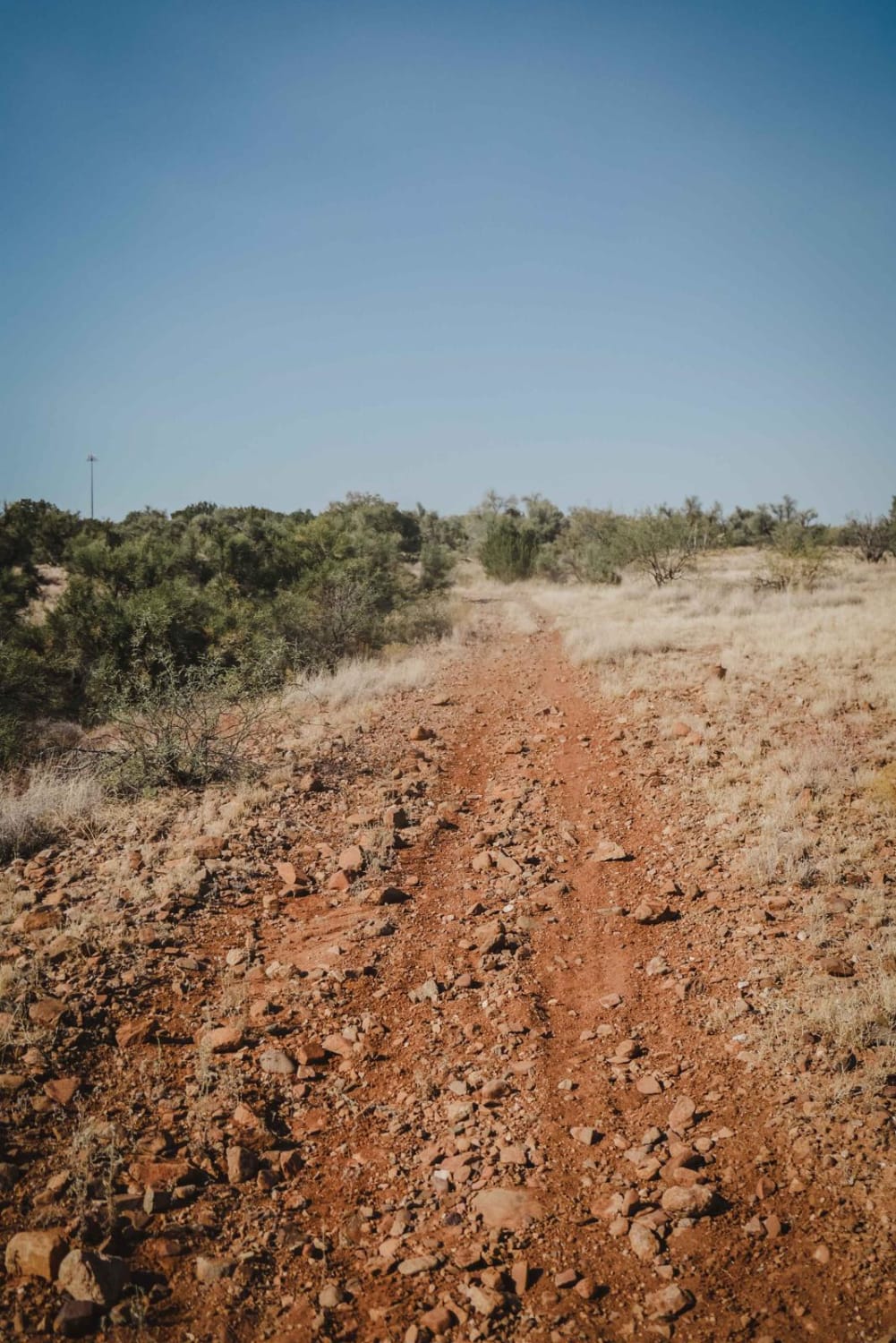
Few to no obstacles on this long single track, except the occasional large bump or football-sized piece of volcanic rock. This road intersects with several forest roads, so be careful of cross traffic. The trail dead ends at a gas pipeline processing facility that is private property. There are a few cattle gates in the area; make sure you close them after going through. Plenty of offshoots to dispersed campsites throughout the area.
Photos of Gas Line Trail
Difficulty
This trail has no real obstacles. Watch speed, though, as there are many small hills that run over gas pipelines.
Status Reports
Gas Line Trail can be accessed by the following ride types:
- High-Clearance 4x4
- SUV
- SxS (60")
- ATV (50")
- Dirt Bike
Gas Line Trail Map
Popular Trails

Hartman Homestead Cutover

Power Bc1096
Crucifixion #9703
The onX Offroad Difference
onX Offroad combines trail photos, descriptions, difficulty ratings, width restrictions, seasonality, and more in a user-friendly interface. Available on all devices, with offline access and full compatibility with CarPlay and Android Auto. Discover what you’re missing today!