FS 9241N
Total Miles
2.2
Technical Rating
Best Time
Spring, Summer, Fall
Trail Type
Full-Width Road
Accessible By
Trail Overview
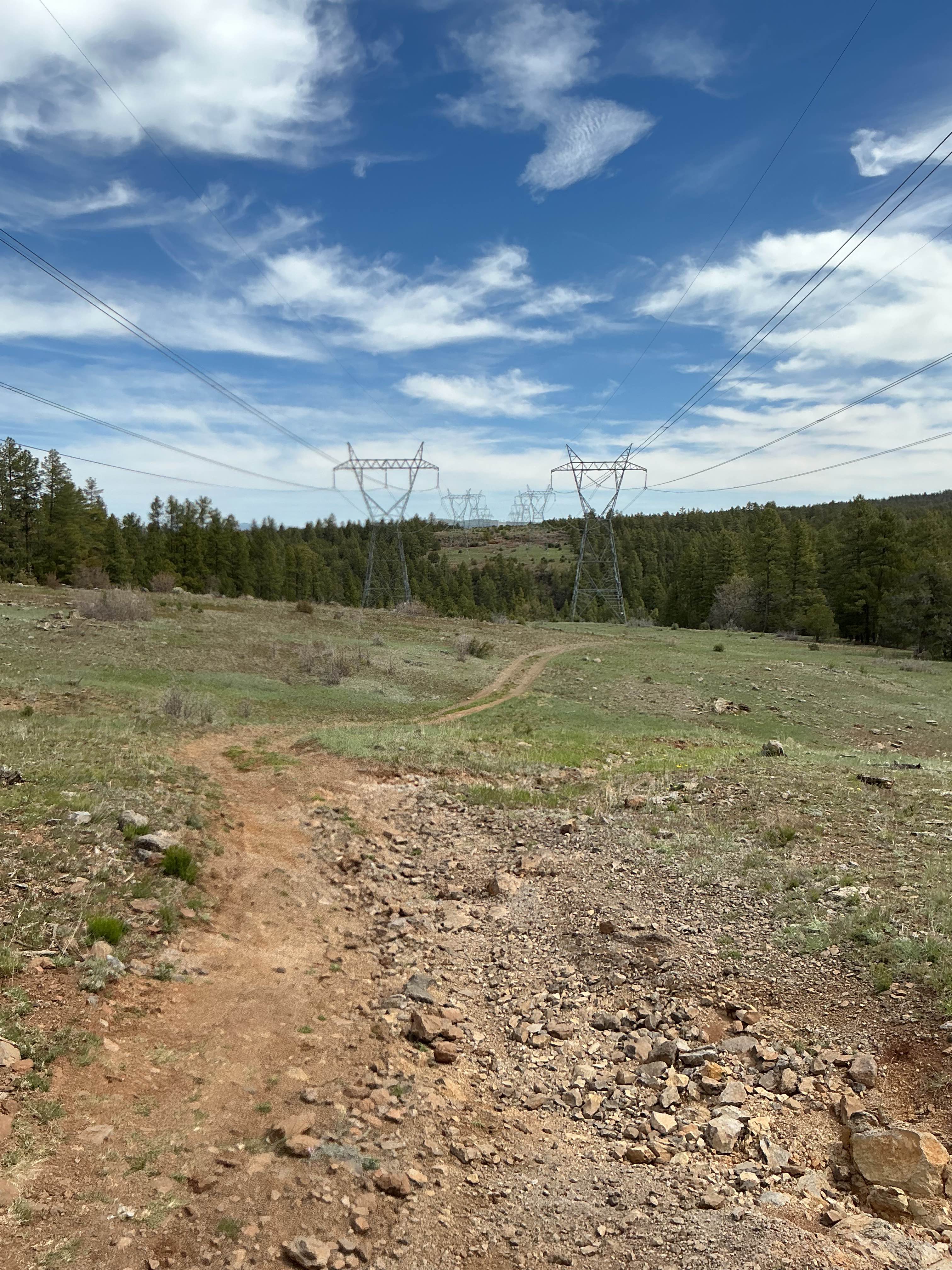
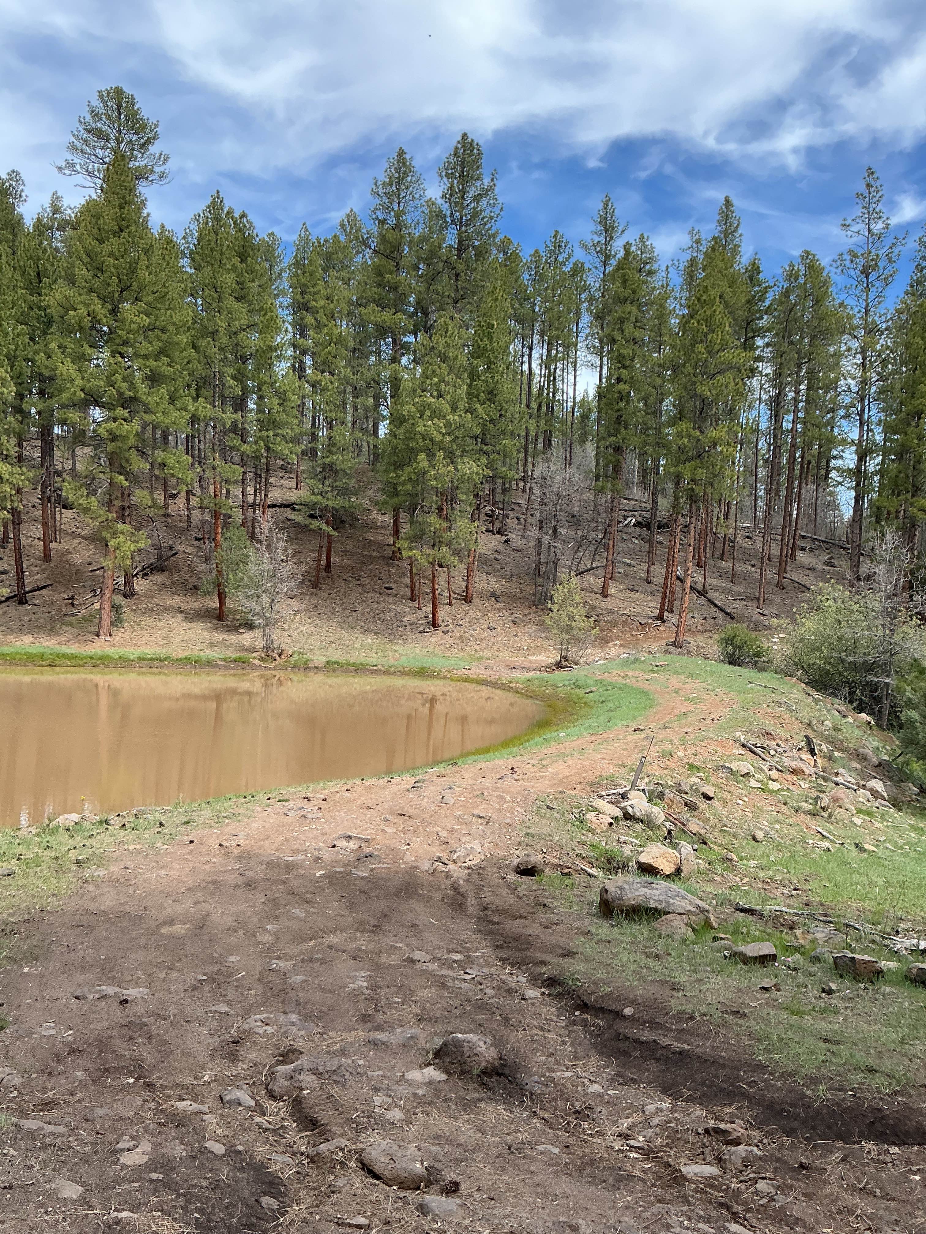
Forest Service Road 9241N is just over 2 miles long and follows power lines for most of its route. The trail begins at a tank in a small canyon, where it quickly starts climbing out over a moderately rocky surface, including a few small rock gardens. As you gain elevation, the trail opens up and emerges from the trees, eventually running southwest beneath large power lines. Along this stretch, you'll encounter intermittent rocky and rutted sections, though the terrain varies. Near the end of the trail, the route turns right and briefly re-enters a wooded area. After exiting the trees, the trail climbs to the top of Salmon Lake Butte. This marks the endpoint and offers a scenic viewpoint overlooking the surrounding landscape.
Photos of FS 9241N
Difficulty
Expect an uneven, rutted dirt trail with loose rocks and erosion. There are several ruts that are over 12" deep but do not exceed 18".
Status Reports
FS 9241N can be accessed by the following ride types:
- High-Clearance 4x4
- SUV
- SxS (60")
- ATV (50")
- Dirt Bike
FS 9241N Map
Popular Trails
Spur Loop to Chloride AZ Peace Trail Connector (Southeast)

212/The Burned Hill
Here to There
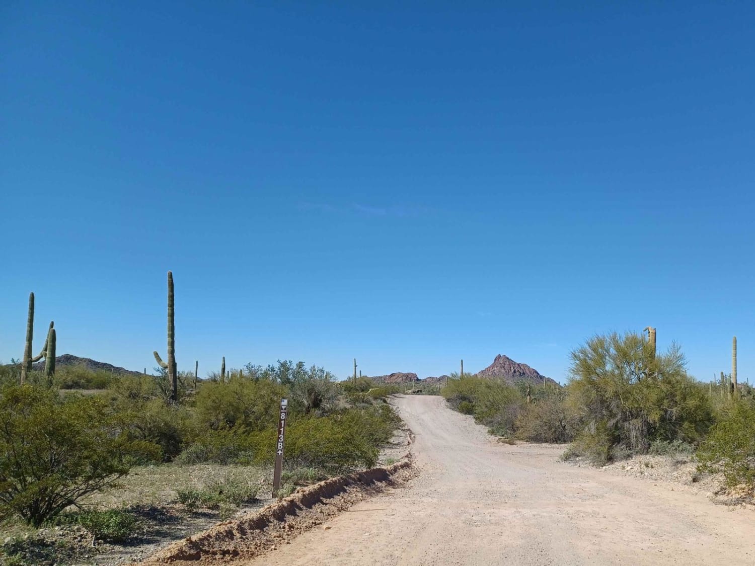
8113B Cemetery Road
The onX Offroad Difference
onX Offroad combines trail photos, descriptions, difficulty ratings, width restrictions, seasonality, and more in a user-friendly interface. Available on all devices, with offline access and full compatibility with CarPlay and Android Auto. Discover what you’re missing today!