FS 9203J & 9203H
Total Miles
2.7
Technical Rating
Best Time
Spring, Summer, Fall
Trail Type
Full-Width Road
Accessible By
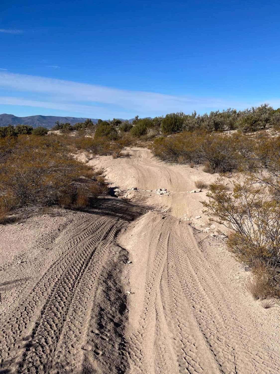
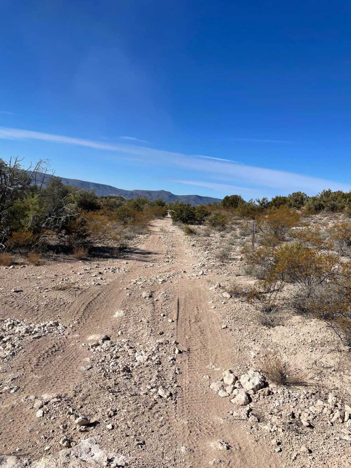
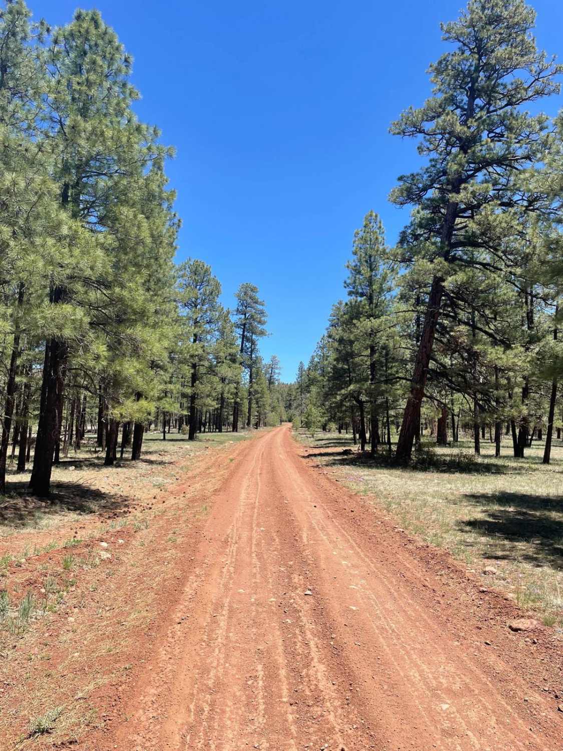
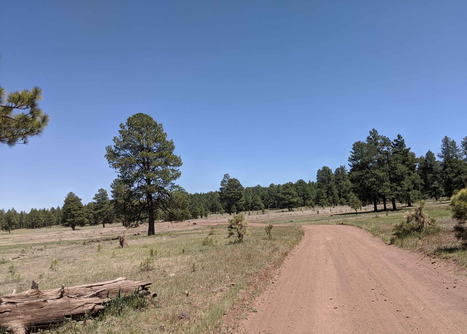
Trail Overview
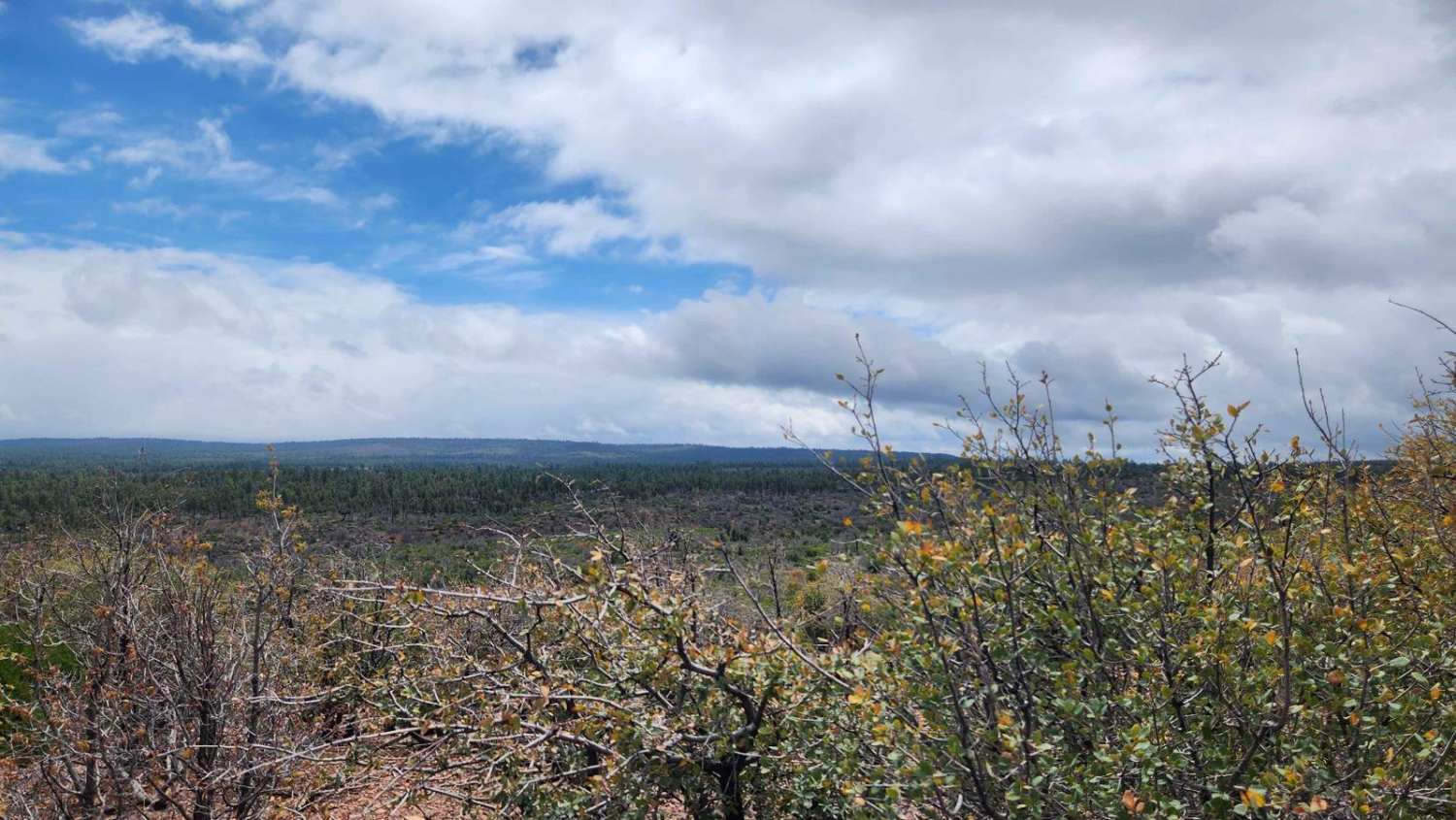
This trail combines two forest roads into one trail. The surface starts as a dirt trail with small bumps. As you travel West, a few rock outcroppings make short and steep ledges. These ledges are over a foot but do not go over an 18" obstacle. After these ledges, the trail will turn into a sandy surface with many deep erosion ruts. One of these ruts is on an uphill slope, which could send your tires spinning. The western part of this trail is much more rocky, with loose rocks and rock outcroppings around every turn. There are also deep ruts peppering the section of the west. This trail ends at a downhill intersection that continues westwards. There is a motor vehicle usage map for the Coconino National Forest that halted this trail from being mapped any farther.
Photos of FS 9203J & 9203H
Difficulty
Expect deep ruts and obstacles over a foot but not exceeding 18".
Status Reports
FS 9203J & 9203H can be accessed by the following ride types:
- High-Clearance 4x4
- SUV
- SxS (60")
- ATV (50")
- Dirt Bike
FS 9203J & 9203H Map
Popular Trails
Backward Tank
Joe Tank Ridge

The onX Offroad Difference
onX Offroad combines trail photos, descriptions, difficulty ratings, width restrictions, seasonality, and more in a user-friendly interface. Available on all devices, with offline access and full compatibility with CarPlay and Android Auto. Discover what you’re missing today!