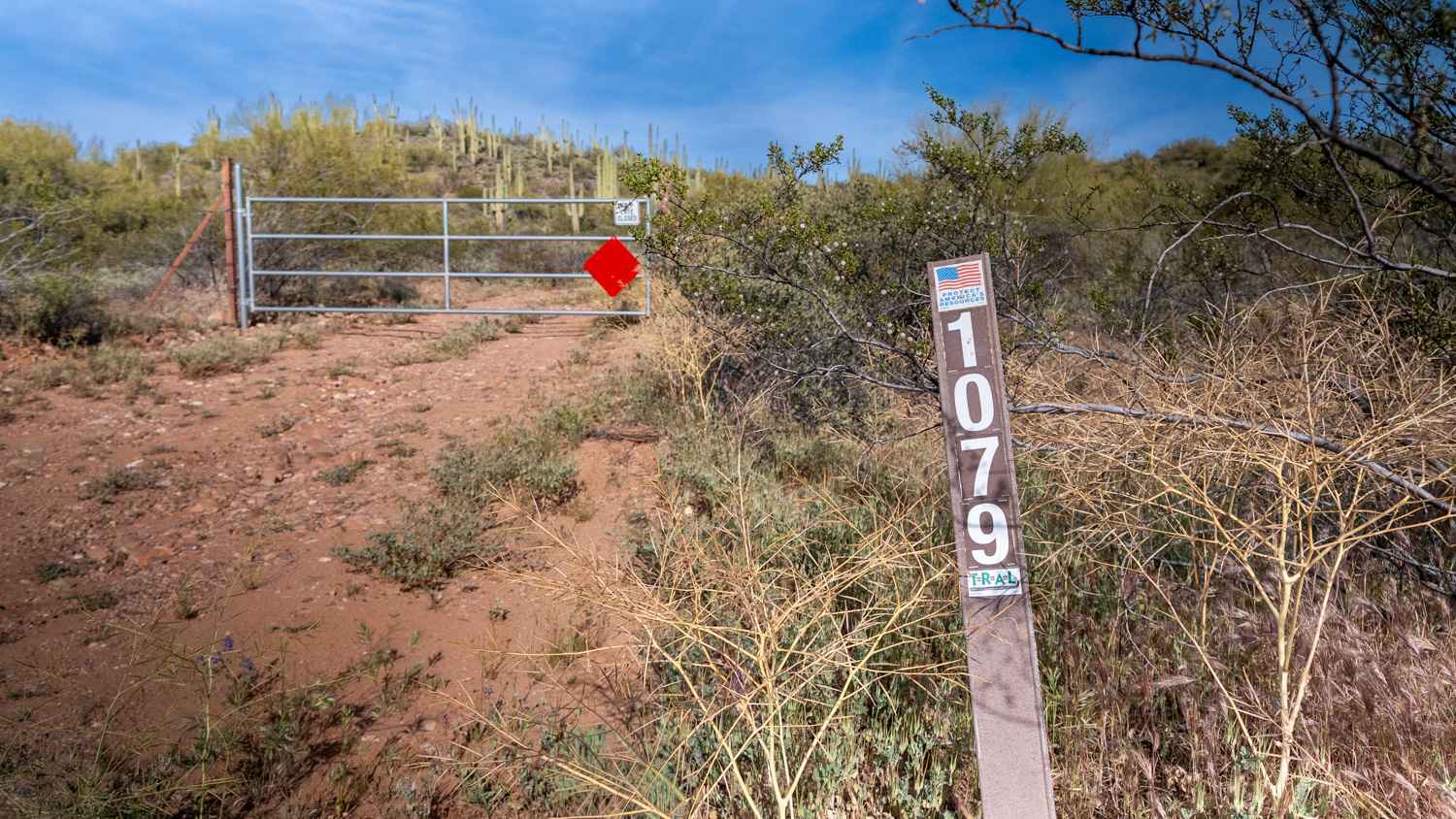
FS 1079
Total Miles
1.5
Technical Rating
Best Time
Spring, Fall, Winter
Trail Type
Full-Width Road
Accessible By
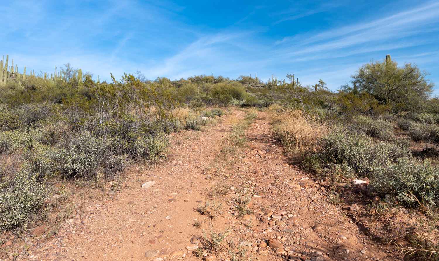
Trail Overview
This rocky, bumpy two-track begins with a steady climb up a saguaro-covered hillside, with several great camp spots offering beautiful views along the way. About 0.2 miles in, keep an eye out on the right for a unique crested saguaro. As you continue climbing, the trail opens up onto a large plateau with sweeping 360deg views of Roosevelt Lake, Four Peaks, Zimmerman Peak, Globe, and the Salt River Wilderness. Toward the end of the road, palo verde becomes tight and pinchy, narrowing the trail. The final stretch continues climbing up onto a mesa before ending at a camp spot along the ridgeline beside a large canyon. Looking back, you'll realize you've been gaining elevation the entire time, with incredible views of Roosevelt Lake and Four Peaks making this a very rewarding drive.
Photos of FS 1079
Difficulty
This trail is rated 2/10 due to the mostly straightforward climb and minimal obstacles along the route. While the surface is rocky and there are some tight, brushy sections near the end, most high-clearance vehicles can complete it comfortably in dry conditions.
Status Reports
FS 1079 can be accessed by the following ride types:
- High-Clearance 4x4
- SUV
- SxS (60")
- ATV (50")
- Dirt Bike
FS 1079 Map
Popular Trails
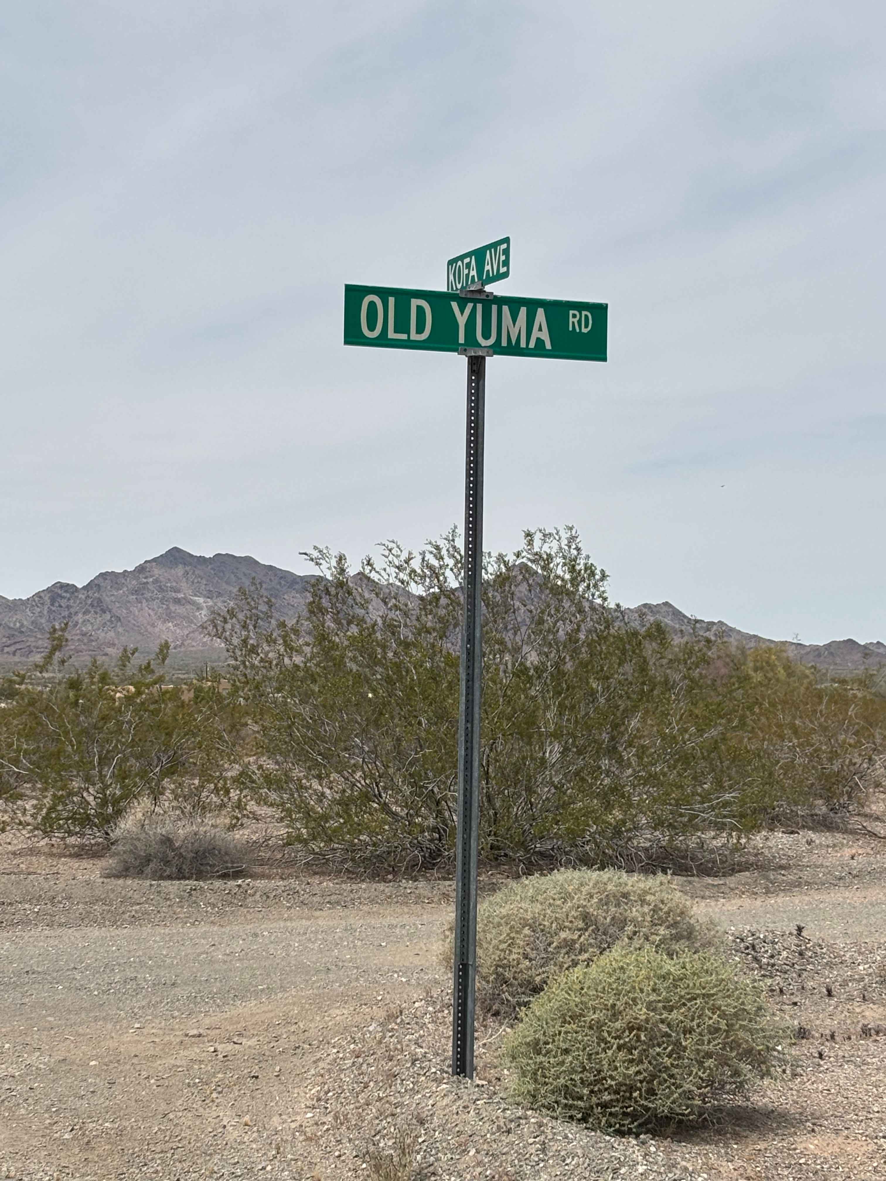
Old Yuma Road South

South Big Bug Mesa Outlook

The Buzz of Gila Bend
The onX Offroad Difference
onX Offroad combines trail photos, descriptions, difficulty ratings, width restrictions, seasonality, and more in a user-friendly interface. Available on all devices, with offline access and full compatibility with CarPlay and Android Auto. Discover what you’re missing today!