FR 226
Total Miles
9.4
Technical Rating
Best Time
Spring, Summer, Fall
Trail Type
Full-Width Road
Accessible By
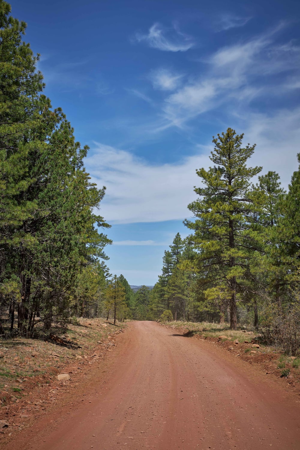
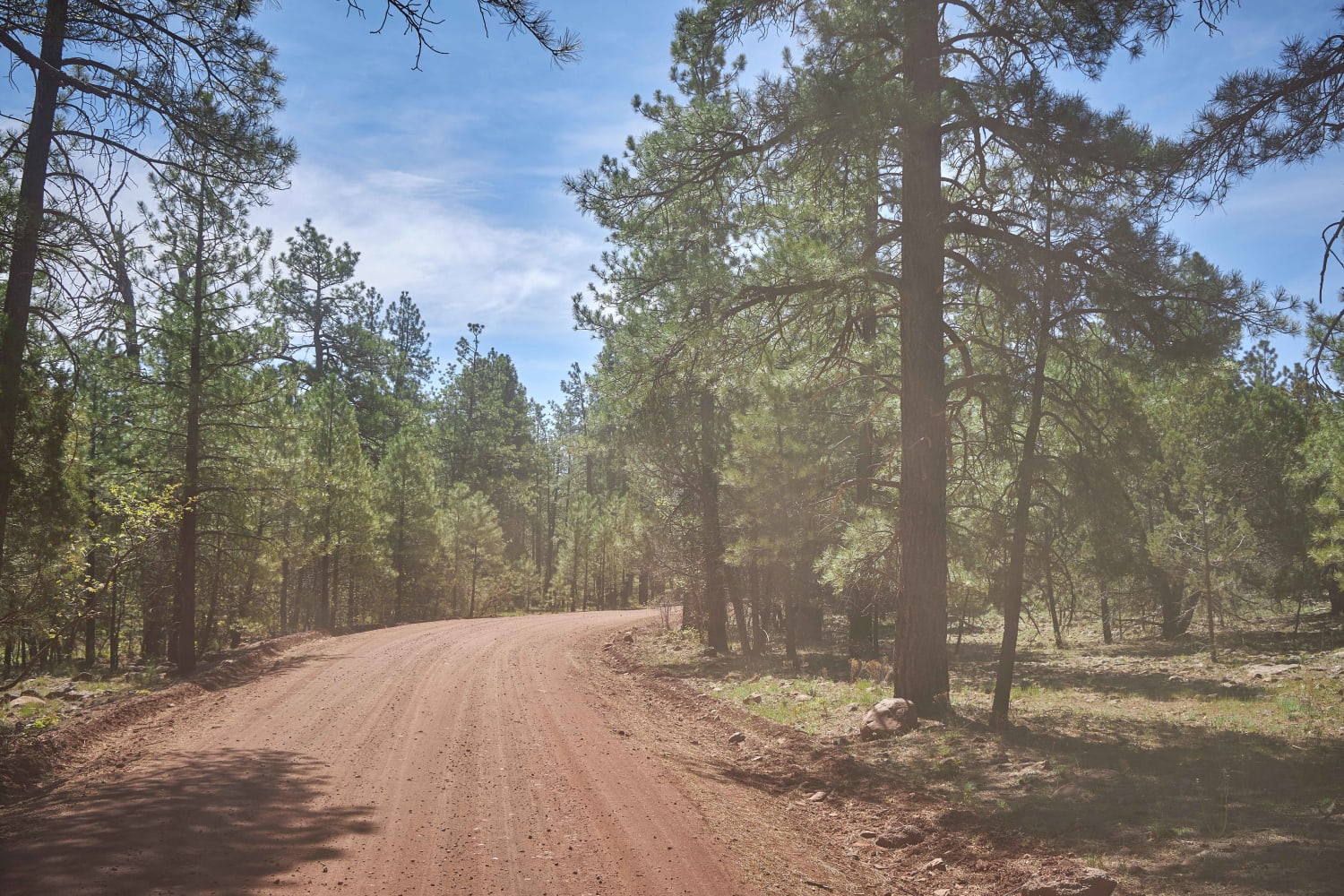
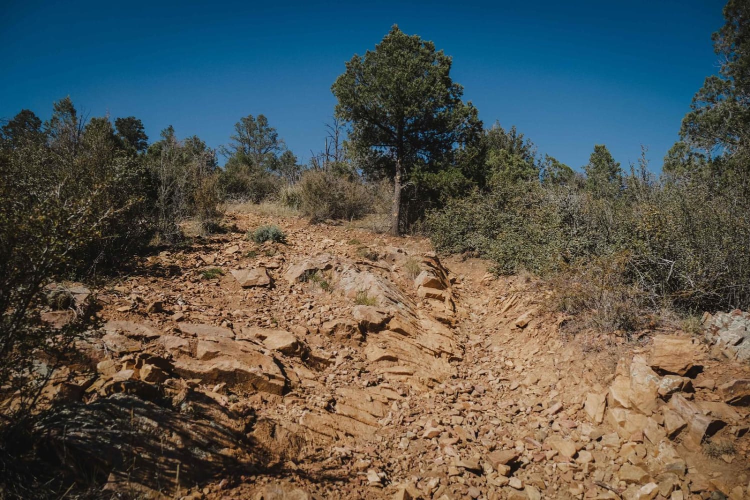
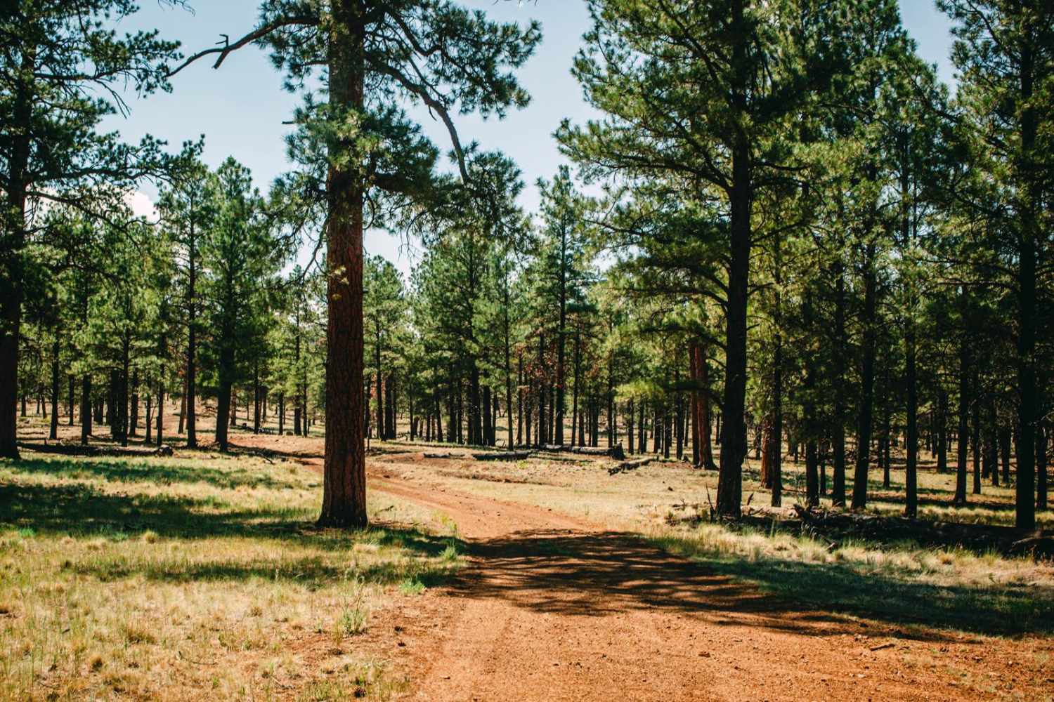
Trail Overview
Forest Road 226 runs Northwest to Southeast, opposite the famous "Schnebley Hill." This rocky trail will take you through the mixed pines of the Coconino National Forest, through burn scars, and past many primitive large pull-through-type campsites. With no obstacles over 12", this dirt road is unmaintained after rain or snow and could prove challenging during the wet season.
Photos of FR 226
Difficulty
Unmaintained forest road could prove challenging during the wet season.
Status Reports
FR 226 can be accessed by the following ride types:
- High-Clearance 4x4
- SUV
- SxS (60")
- ATV (50")
- Dirt Bike
FR 226 Map
Popular Trails

Entrance Trail to the Tonto National Forest Desert Vista OHV

Foothills Boulevard
Charcoal Gulch
The onX Offroad Difference
onX Offroad combines trail photos, descriptions, difficulty ratings, width restrictions, seasonality, and more in a user-friendly interface. Available on all devices, with offline access and full compatibility with CarPlay and Android Auto. Discover what you’re missing today!