Forest Lakes to Sheep Creek Point
Total Miles
2.7
Technical Rating
Best Time
Spring, Summer, Fall
Trail Type
High-Clearance 4x4 Trail
Accessible By
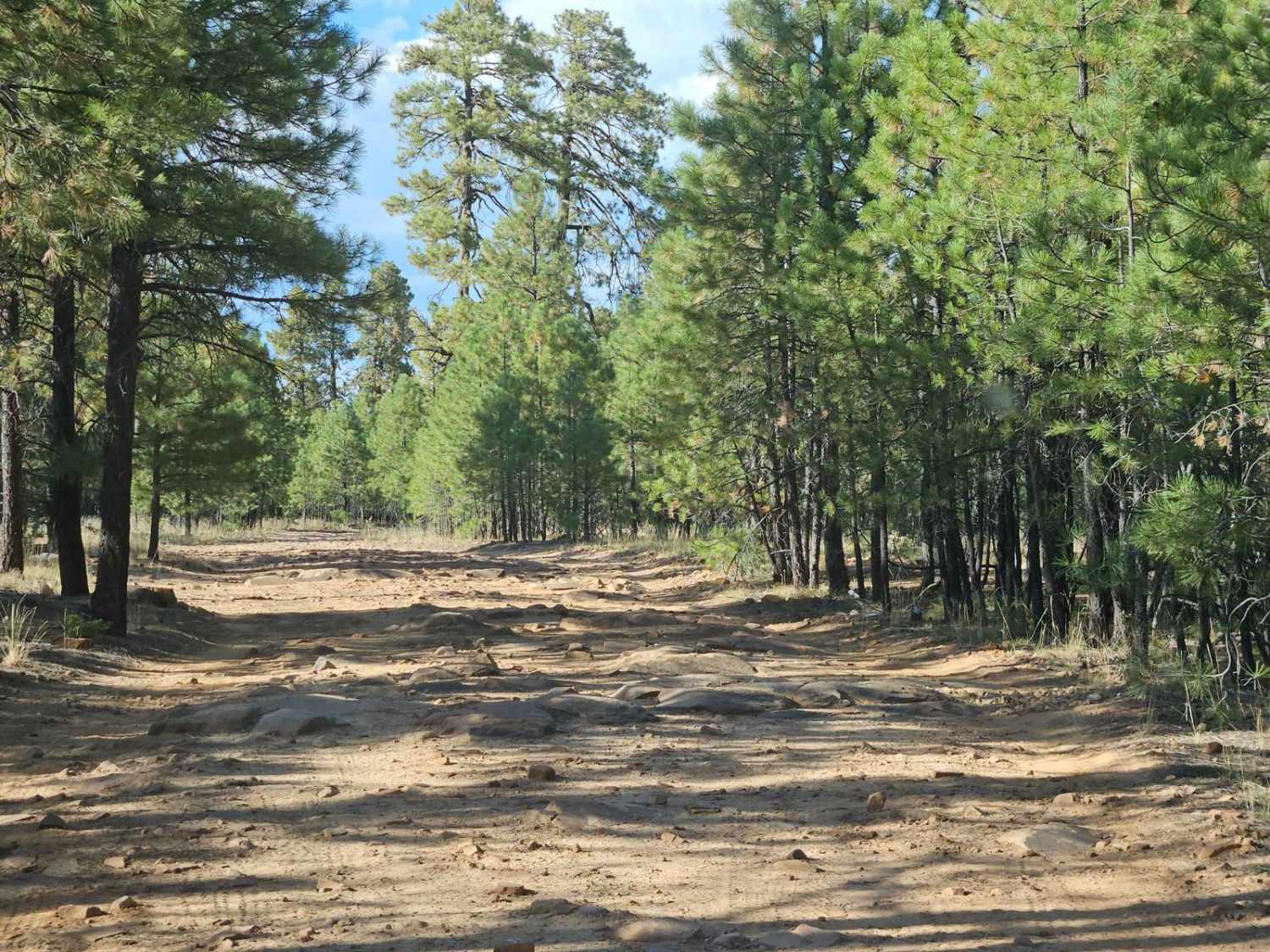
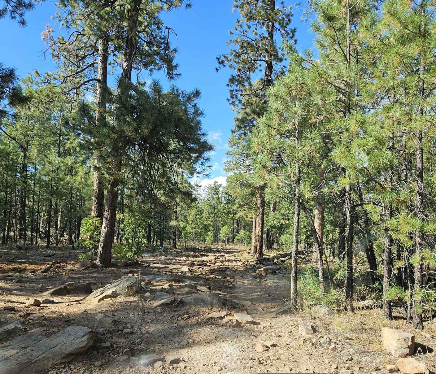
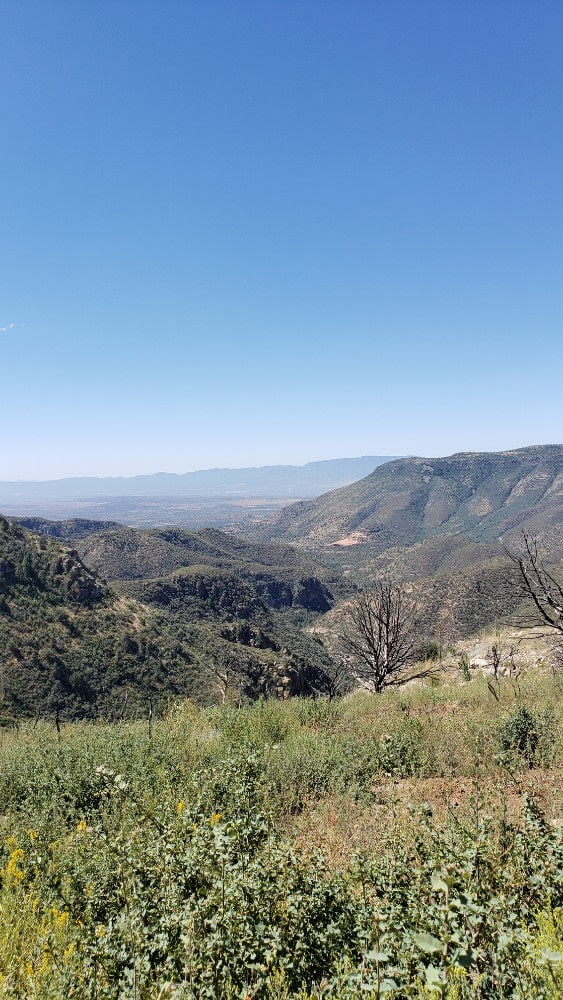
Trail Overview
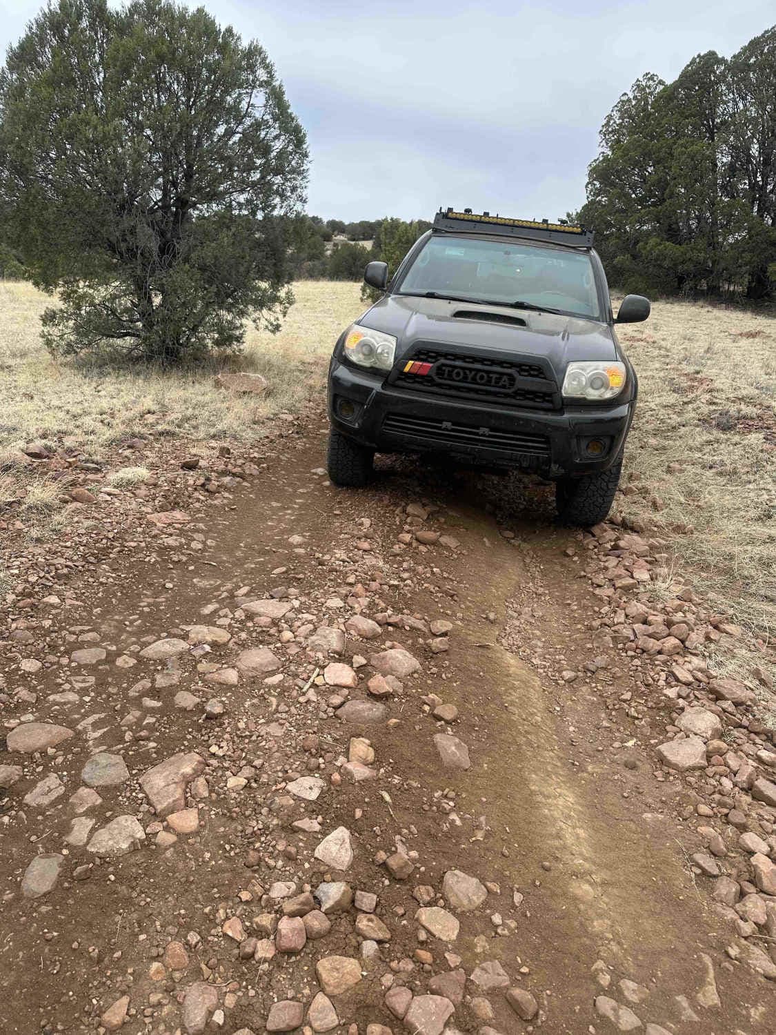
Forest Road 260B from Forest Lakes to Sheep Creek Point is a 5-mile out-and-back through Pondarosa forest to fantastic views from the Mogollon Rim to the valleys below. The road starts out rather easy, but slowly gets better (as in more fun) as it gets closer to the Mogollon Rim. There are significant mud holes that can be a challenge when things are wet. The road gets very rocky, so high clearance becomes necessary. Places along the road get somewhat narrow with small Pondarosa saplings crowding the trail. To get to the best views, you either need to ride the rocks steps down, or just park and walk that last 100 feet or so.
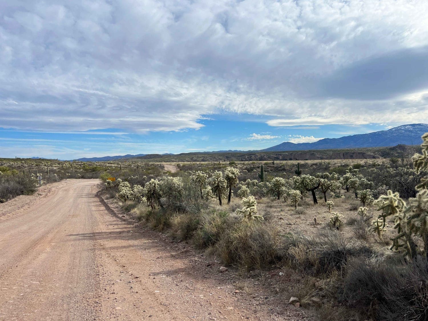
Photos of Forest Lakes to Sheep Creek Point
Difficulty
The 5 rating is a split between going when it is dry and the road is just rough, to when it is wet, where it becomes much more difficult. The rock ledges at the end can be challenging to get back up. Some people try to bypass the ledges by driving through the forest, but I highly recommend against that. Stay on the trail!
Status Reports
Forest Lakes to Sheep Creek Point can be accessed by the following ride types:
- High-Clearance 4x4
- SxS (60")
- ATV (50")
- Dirt Bike
Forest Lakes to Sheep Creek Point Map
Popular Trails
Stockyard Junction
FS 538B Buckner Ridge Trail
North Cascabel Road
The onX Offroad Difference
onX Offroad combines trail photos, descriptions, difficulty ratings, width restrictions, seasonality, and more in a user-friendly interface. Available on all devices, with offline access and full compatibility with CarPlay and Android Auto. Discover what you’re missing today!