Fh1052
Total Miles
6.7
Technical Rating
Best Time
Spring, Summer, Fall, Winter
Trail Type
Full-Width Road
Accessible By
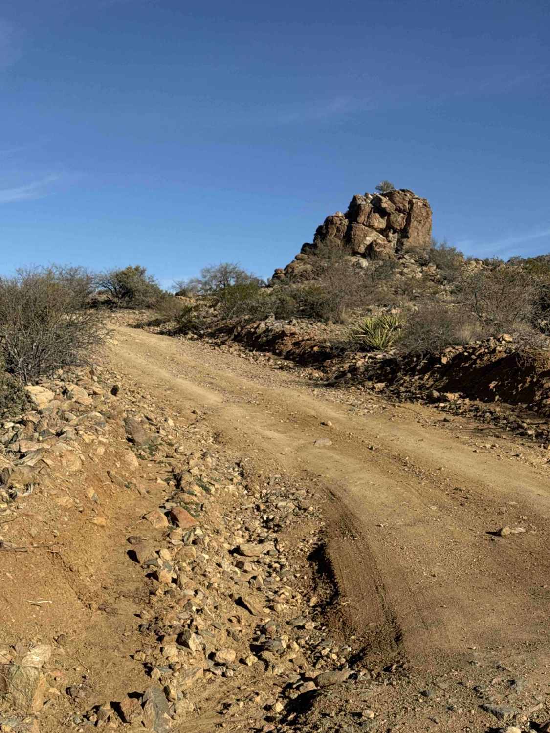
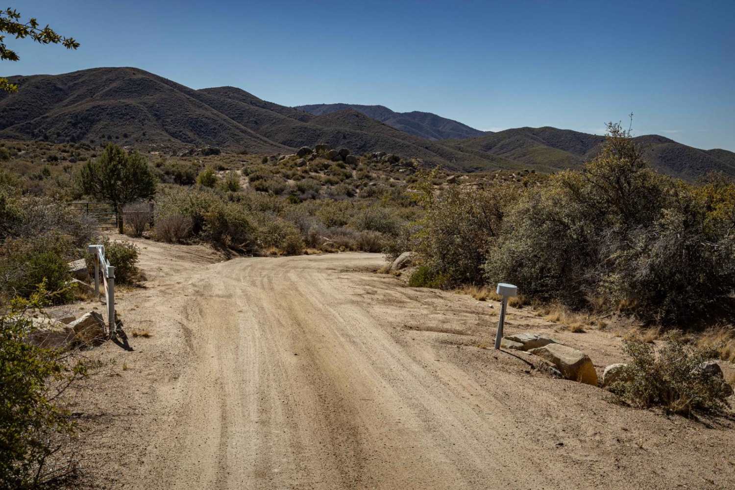
Trail Overview
FH1052 begins off FH1028 and is a wide gravel and rock trail with bermed edges. The road gently climbs above a wash, crossing a cattle guard early on. The surface is rocky gravel, lined with desert creosote and scattered saguaro cactus. Views of Slaughter Mountain are visible along the way. The trail is suitable for full-size 4x4, high clearance 2WD, and SxS vehicles. Campsites are available along the route. Views to the south overlook Fort Thomas, while the Natanes Mountain range can be seen to the north. The trail gradually climbs to the top of a mountain, offering panoramic views in all directions. The road is generally easy, though steep hills and a few washouts may require extra attention, and the trail can become muddy in wet weather. Blind curves appear near the end, so caution is advised.
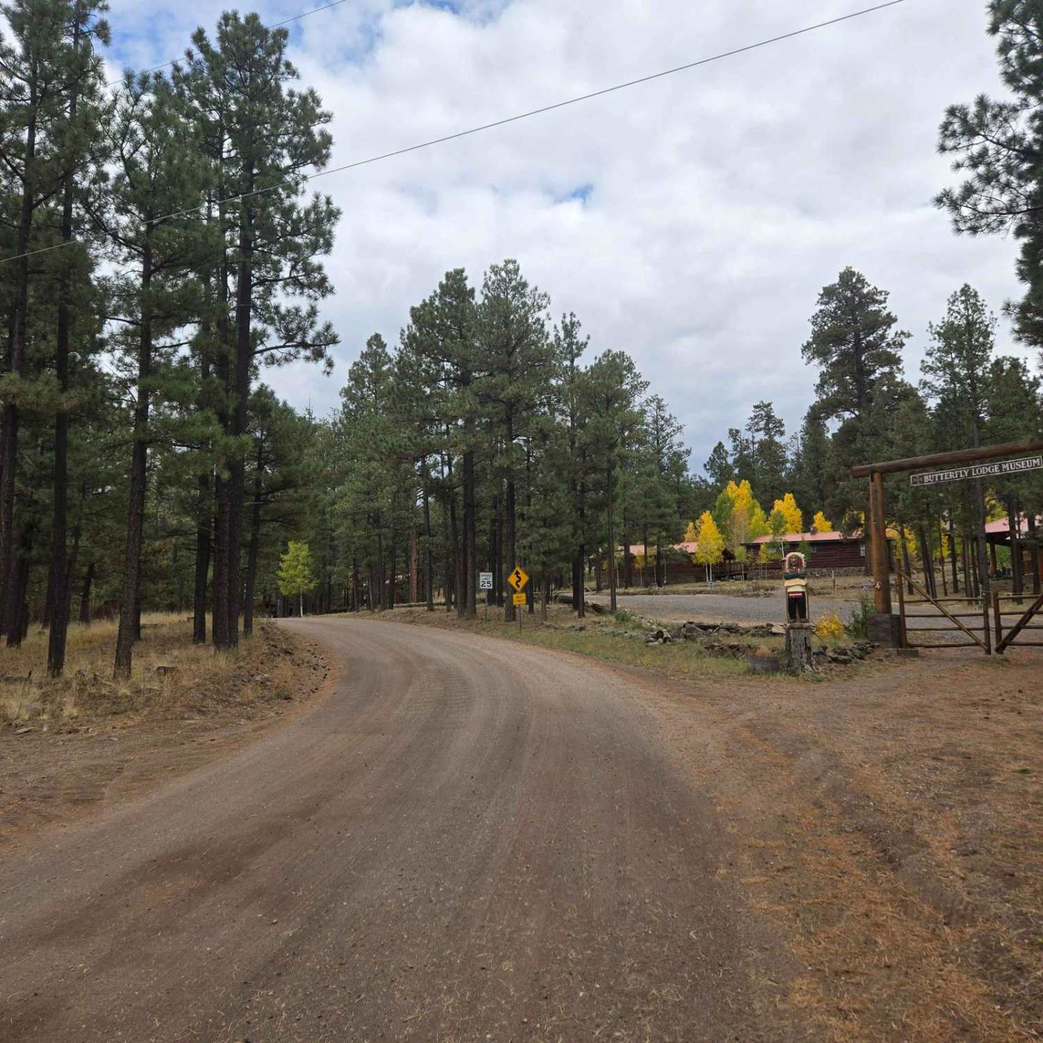
Photos of Fh1052

Difficulty
This is an easy, well-maintained road with wash areas that could be washed out after heavy rain.
Status Reports
Fh1052 can be accessed by the following ride types:
- High-Clearance 4x4
- SUV
- SxS (60")
- ATV (50")
- Dirt Bike
Fh1052 Map
Popular Trails

FR-6367 A Trio of Choices

Sheepshead Trail - FS 9541
The onX Offroad Difference
onX Offroad combines trail photos, descriptions, difficulty ratings, width restrictions, seasonality, and more in a user-friendly interface. Available on all devices, with offline access and full compatibility with CarPlay and Android Auto. Discover what you’re missing today!