EC1243 East
Total Miles
1.6
Technical Rating
Best Time
Winter, Fall, Spring
Trail Type
Full-Width Road
Accessible By
Trail Overview
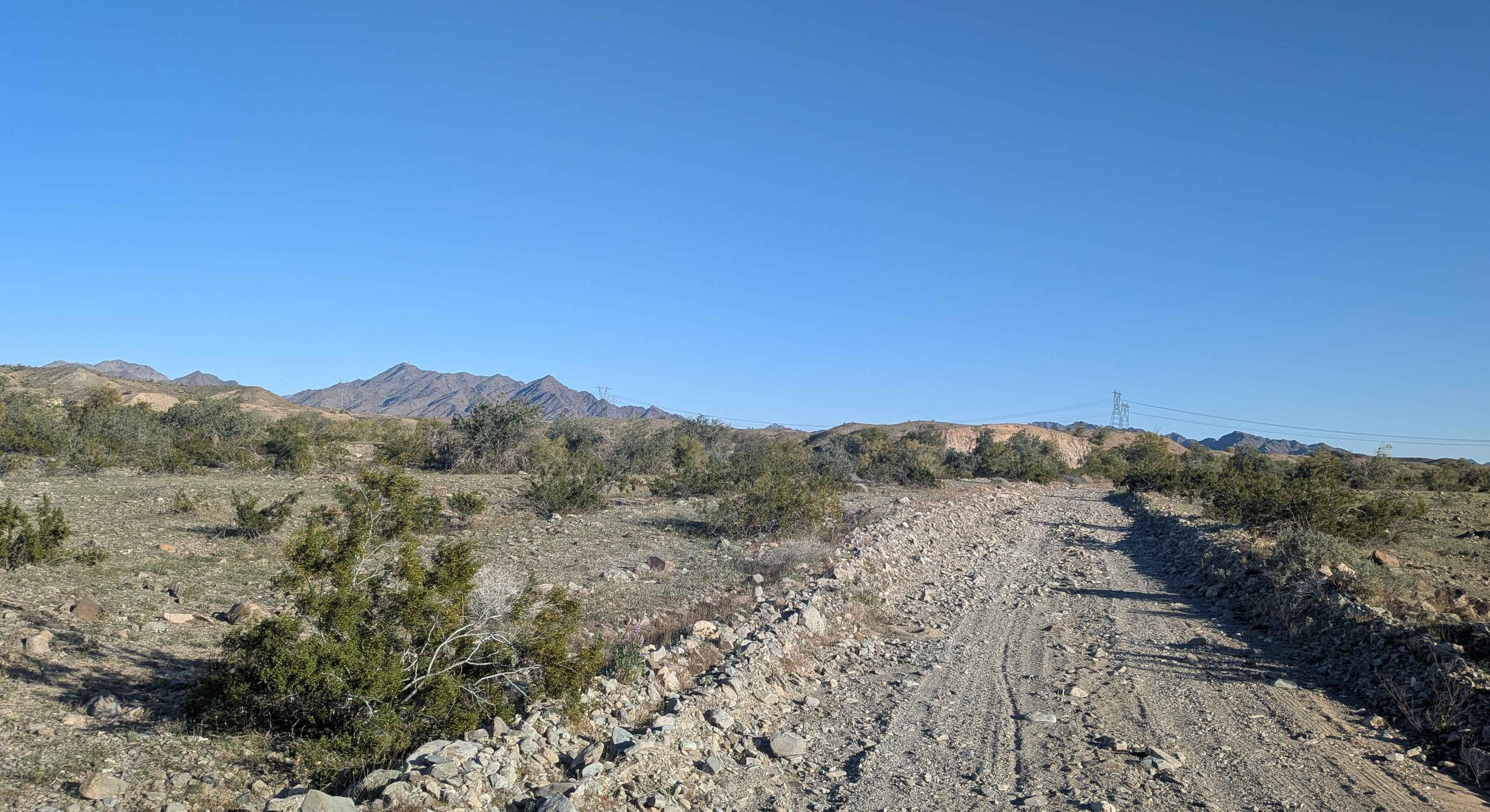
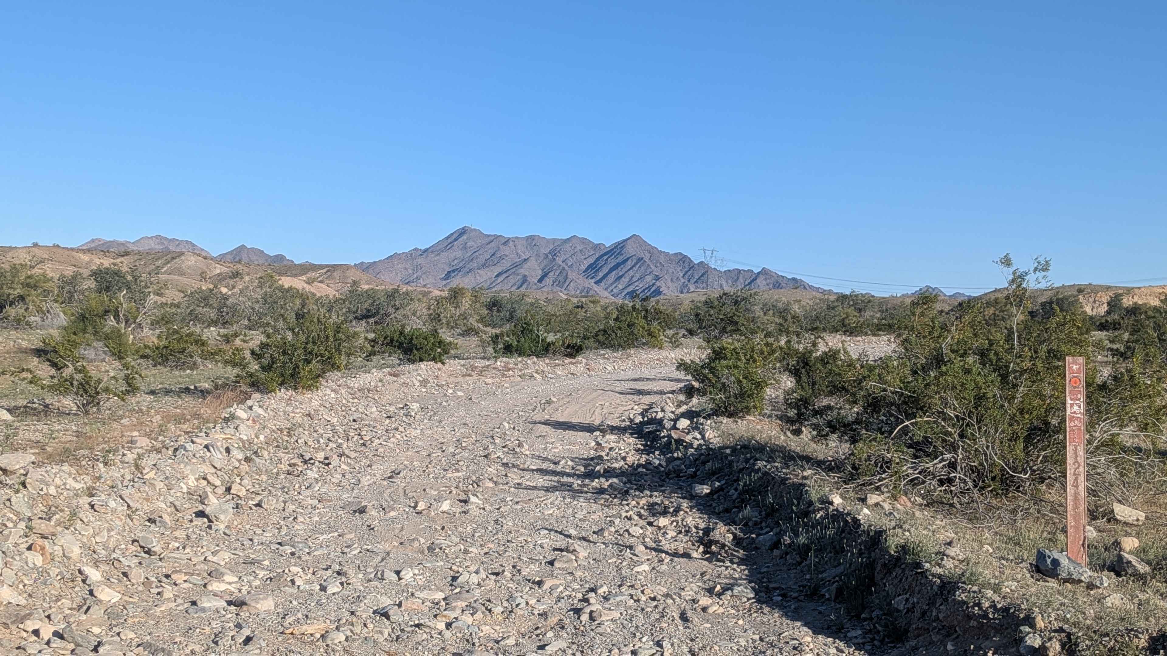
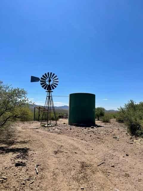
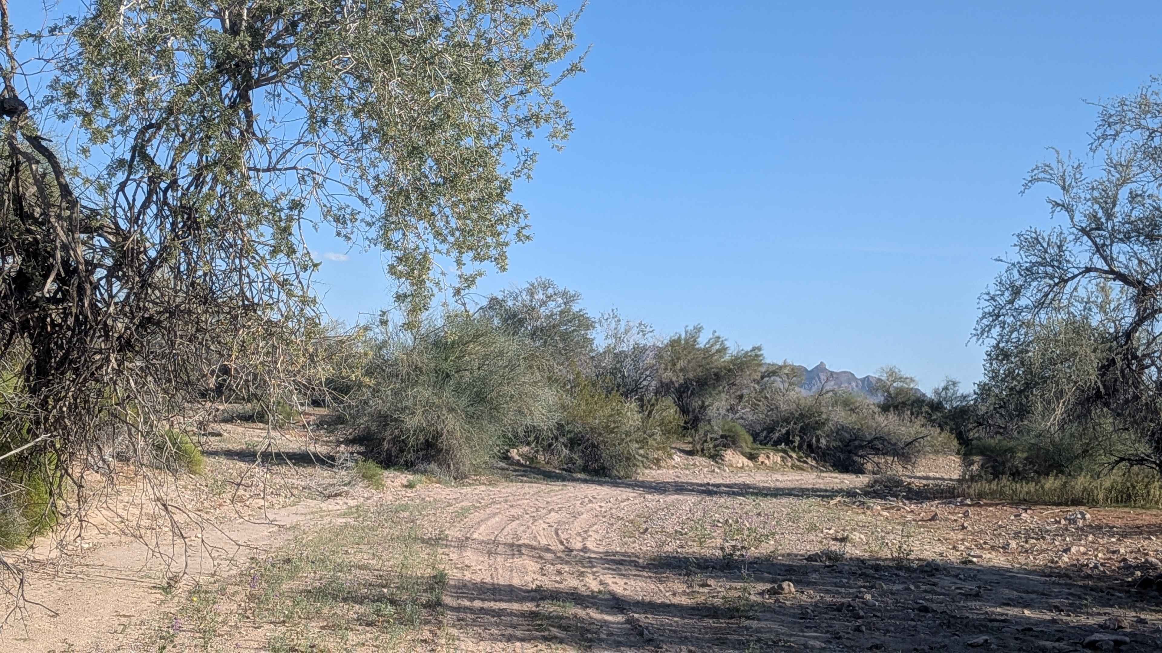
This 2-mile trail climbs 300 feet through varying terrain that's 1 to 1.5 vehicles wide. The surface is sandy with lots of little rocks as it cuts through various small rock and sand washes. Parts of the trail are slow going due to bumpy, rocky surfaces that demand attention. When the route comes out of the wash, it climbs up onto a ridge, transitioning to a graded hard pack sand surface with nice views of the Trigo Mountains. The section where it crosses over the Pole Line Trail is convoluted, and a bypass is needed to navigate through. At mile 1.5, where it separates from the EC1245 intersection, the trail becomes less traveled and more rugged. Unfortunately, the trail ends due to a recent washout, with overgrowth of trees and rocks blocking further progress.
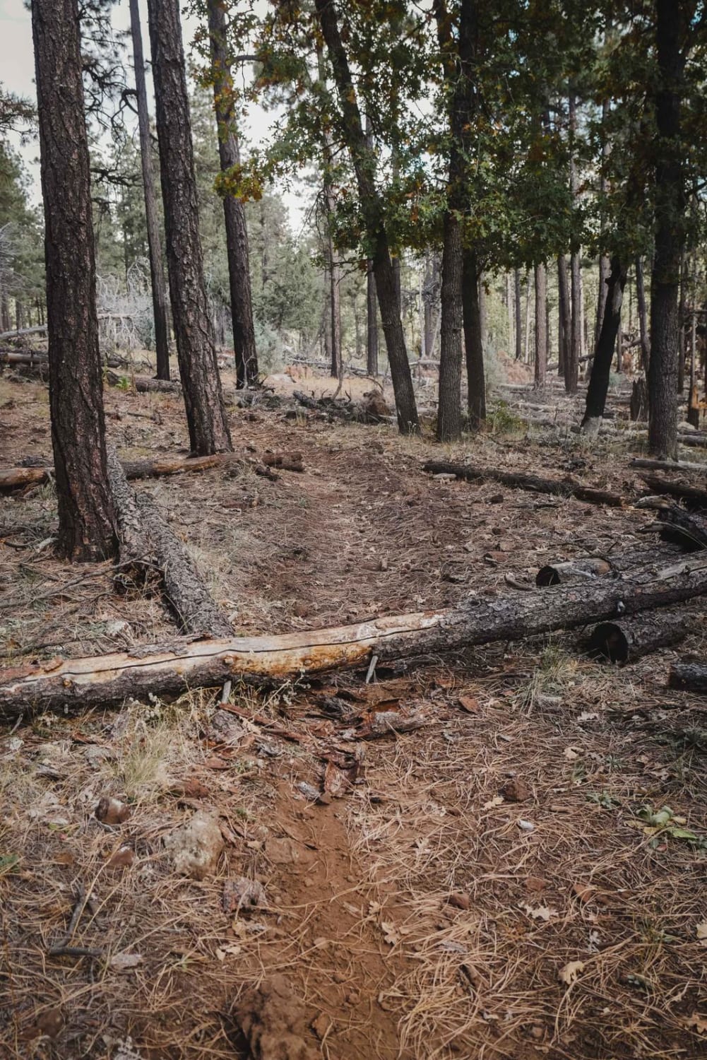
Photos of EC1243 East
Difficulty
This is an easy to moderate trail for the first portion with manageable sandy and rocky surfaces. The bumpy sections slow your pace but aren't technically difficult. The convoluted crossing at Pole Line Trail requires careful navigation. Beyond mile 1.5, the more rugged conditions and eventual washout make completion impossible currently.
Status Reports
EC1243 East can be accessed by the following ride types:
- High-Clearance 4x4
- SUV
- SxS (60")
- ATV (50")
- Dirt Bike
EC1243 East Map
Popular Trails

60 to the Tracks
The onX Offroad Difference
onX Offroad combines trail photos, descriptions, difficulty ratings, width restrictions, seasonality, and more in a user-friendly interface. Available on all devices, with offline access and full compatibility with CarPlay and Android Auto. Discover what you’re missing today!