County Line Road
Total Miles
3.4
Technical Rating
Best Time
Summer, Fall, Winter
Trail Type
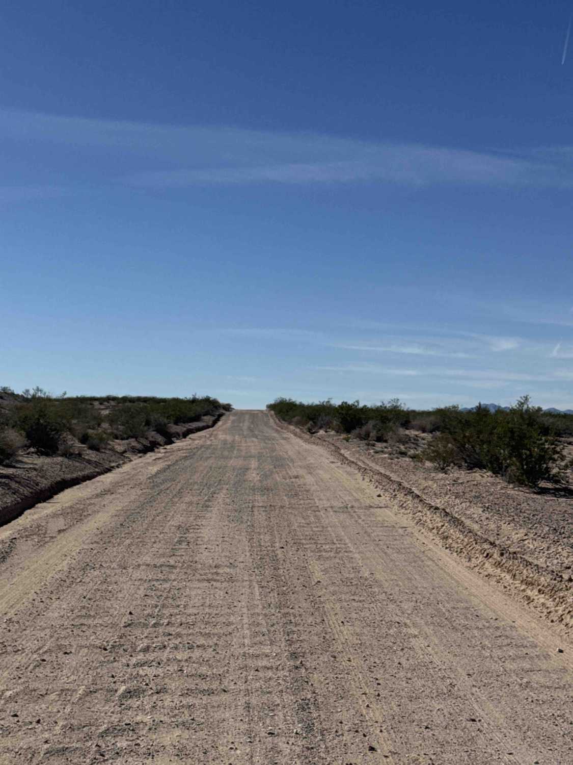
Full-Width Road
Accessible By
Trail Overview
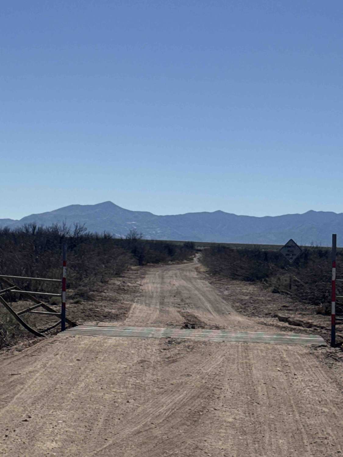
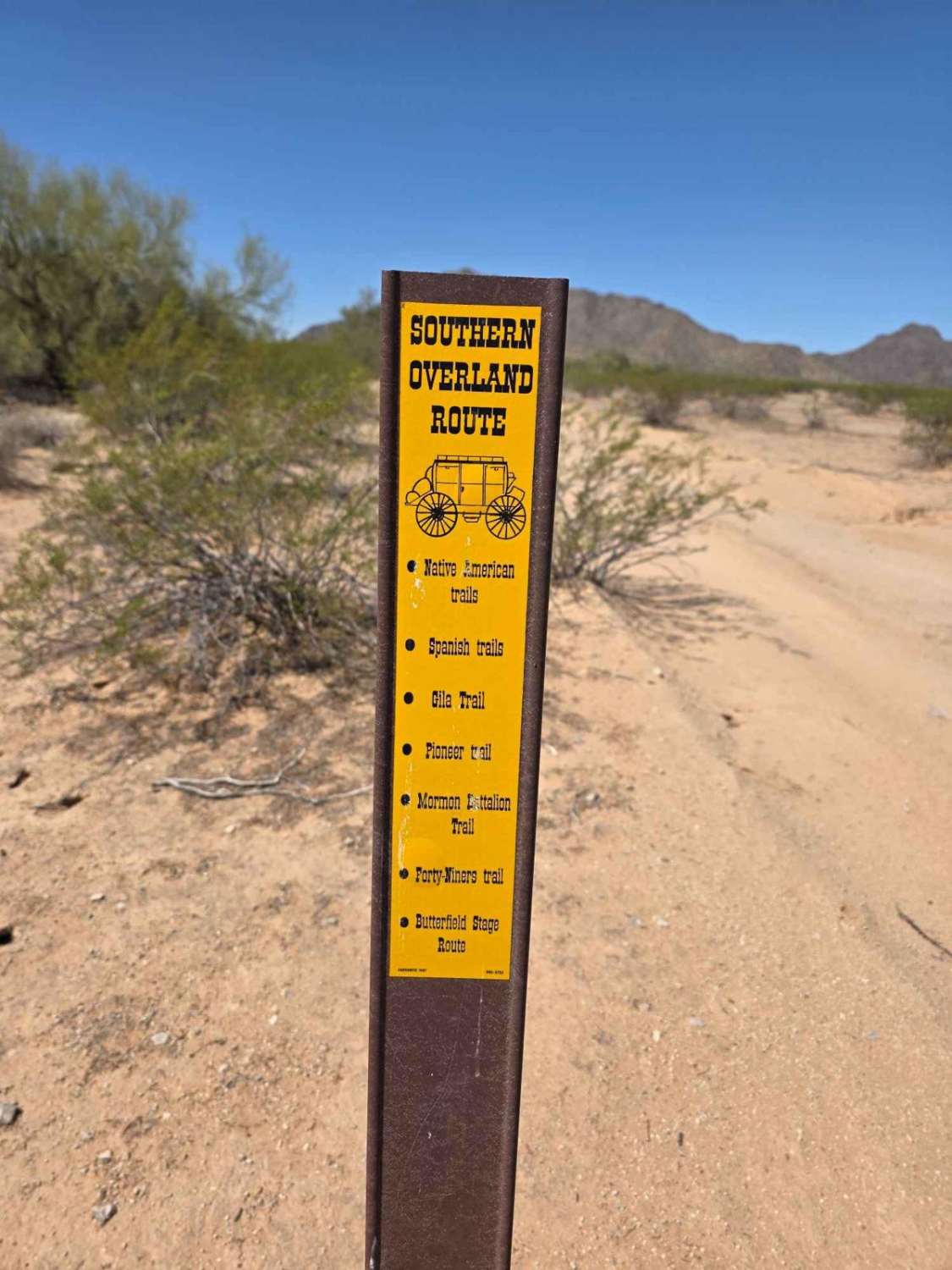
County Line Road is a point-to-point route running between Ss1050 to the east and SS1178. The main section is a wide gravel road that is easy for any vehicle, though it may become muddy in wet weather--use caution. The trail is lined with desert creosote and a berm and passes Haekel Road. Beyond this point, the route has been closed and now feeds onto Ss1181. The remaining portion of County Line Road is blocked by overgrown vegetation, a fence line, and a sand berm.
Photos of County Line Road
Difficulty
This trail is easily accessible and suitable for any vehicle under normal conditions.
Status Reports
County Line Road can be accessed by the following ride types:
- High-Clearance 4x4
- SUV
- SxS (60")
- ATV (50")
- Dirt Bike
County Line Road Map
Popular Trails

Butterfield Stage Overland Route Section 2
The onX Offroad Difference
onX Offroad combines trail photos, descriptions, difficulty ratings, width restrictions, seasonality, and more in a user-friendly interface. Available on all devices, with offline access and full compatibility with CarPlay and Android Auto. Discover what you’re missing today!