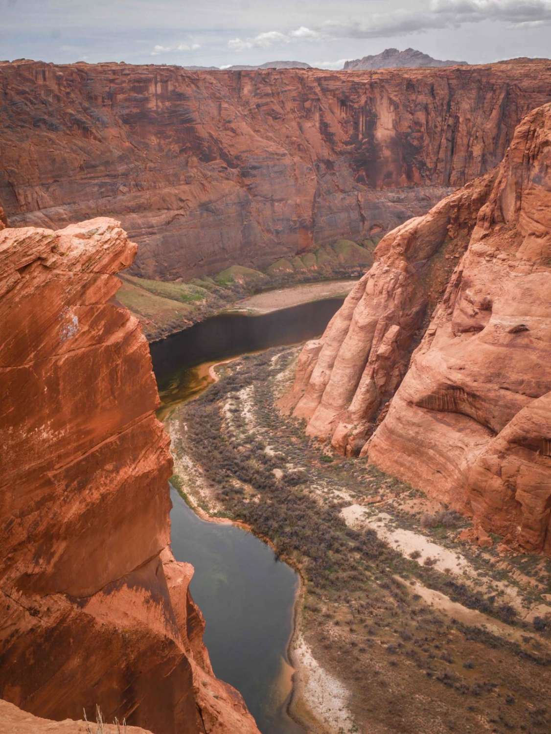
Colorado River View
Total Miles
1.7
Technical Rating
Best Time
Spring, Winter, Fall
Trail Type
Full-Width Road
Accessible By
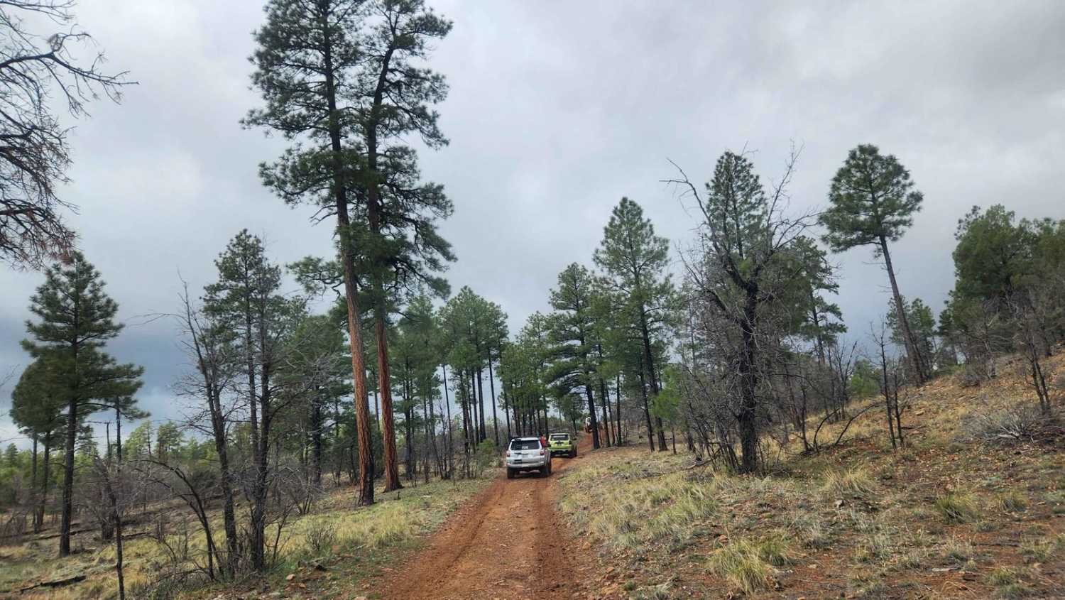
Trail Overview
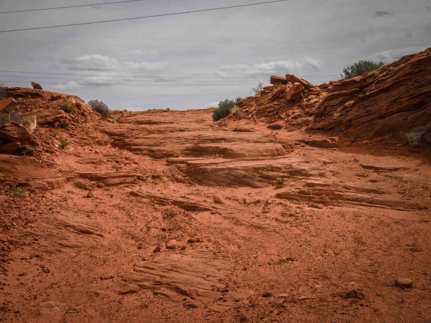
This 1.8-mile track takes you from Highway 89 out to the canyon overlooking the Colorado River via a rocky powerline road. It starts out with slab rock on hardpacked sand and dirt underneath powerlines. It's flat and straight in the beginning, going over bumpy layers of slick rock. The slick rock creates ledges that are below a foot tall but add a challenge and need high clearance. The track has lots of unmarked intersections and ends at an incredible viewpoint over the Colorado River just north of Horseshoe Bend. It's an adventurous way to see the river without having to pay at Horseshoe Bend and deal with the tourists and crowds.
Photos of Colorado River View
Difficulty
This is an easier Jeep road that has several slick rock ledges that are below a foot tall and need high clearance. There are also sections of sand.
Status Reports
Colorado River View can be accessed by the following ride types:
- High-Clearance 4x4
- SUV
- SxS (60")
- ATV (50")
- Dirt Bike
Colorado River View Map
Popular Trails
Carnero Springs Road 8556

Dead Horse Wash
The onX Offroad Difference
onX Offroad combines trail photos, descriptions, difficulty ratings, width restrictions, seasonality, and more in a user-friendly interface. Available on all devices, with offline access and full compatibility with CarPlay and Android Auto. Discover what you’re missing today!