Clear Creek Canyon(FR-677)
Total Miles
3.7
Technical Rating
Best Time
Spring, Summer, Fall, Winter
Trail Type
Full-Width Road
Accessible By
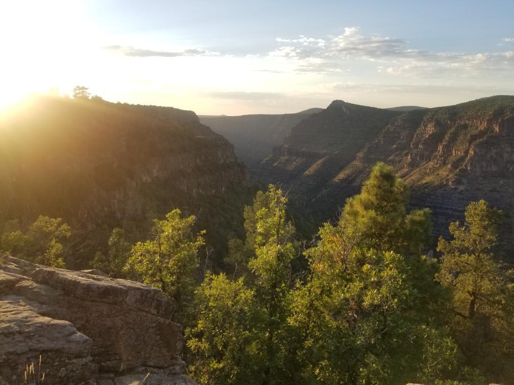
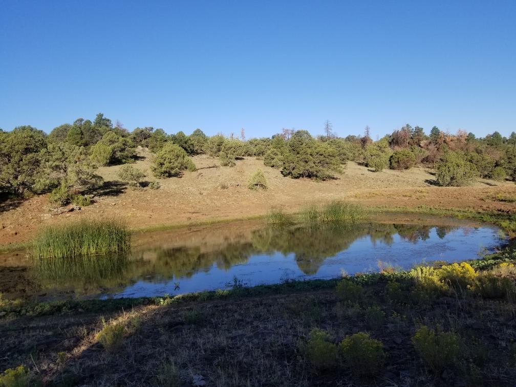
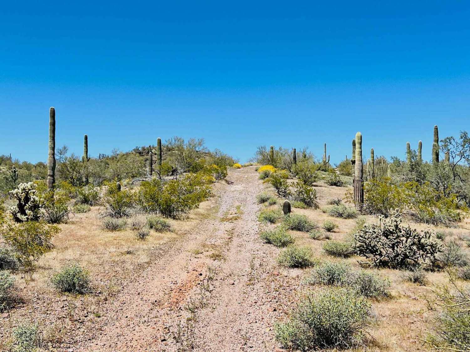
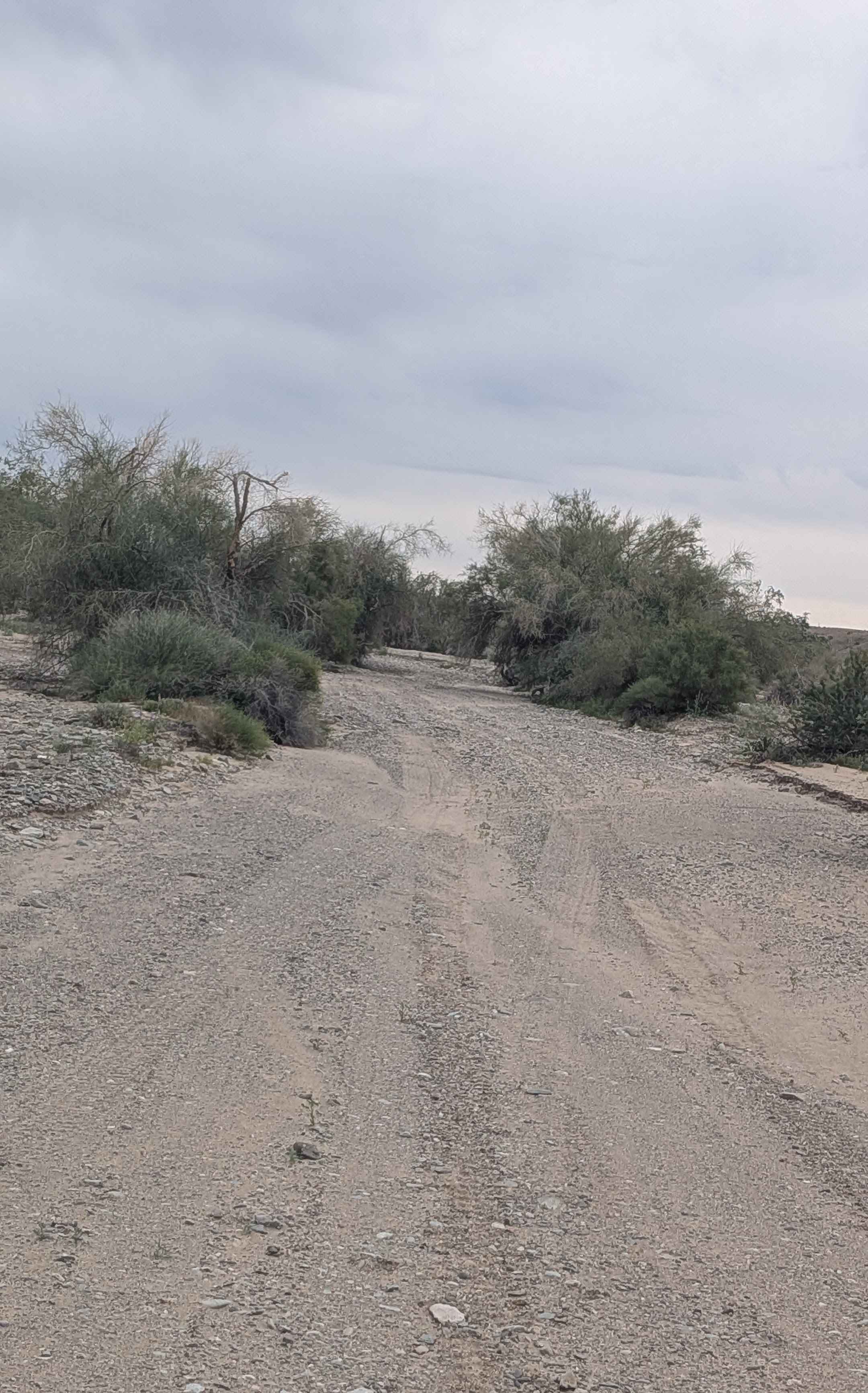
Trail Overview
This trail begins off Highway 260 (approximately 6 miles east of the 87), and ends at the southern rim of West Clear Creek Canyon. There is no sign for the turnoff. If you blink, you just might miss it. While not terribly long or technical, the views and isolated campsites at the end of this trail are truly spectacular. There are several trails connected to this one, making the area a great to spend a weekend in. The road itself is mostly rocky, with some heavily rutted dirt stretches scattered in. Rugged tires and high clearance strongly recommended.
Photos of Clear Creek Canyon(FR-677)
Difficulty
Very rocky, but none of the rocks are very large and the inclines are mild.
Clear Creek Canyon(FR-677) can be accessed by the following ride types:
- High-Clearance 4x4
- SUV
- SxS (60")
- ATV (50")
- Dirt Bike
Clear Creek Canyon(FR-677) Map
Popular Trails
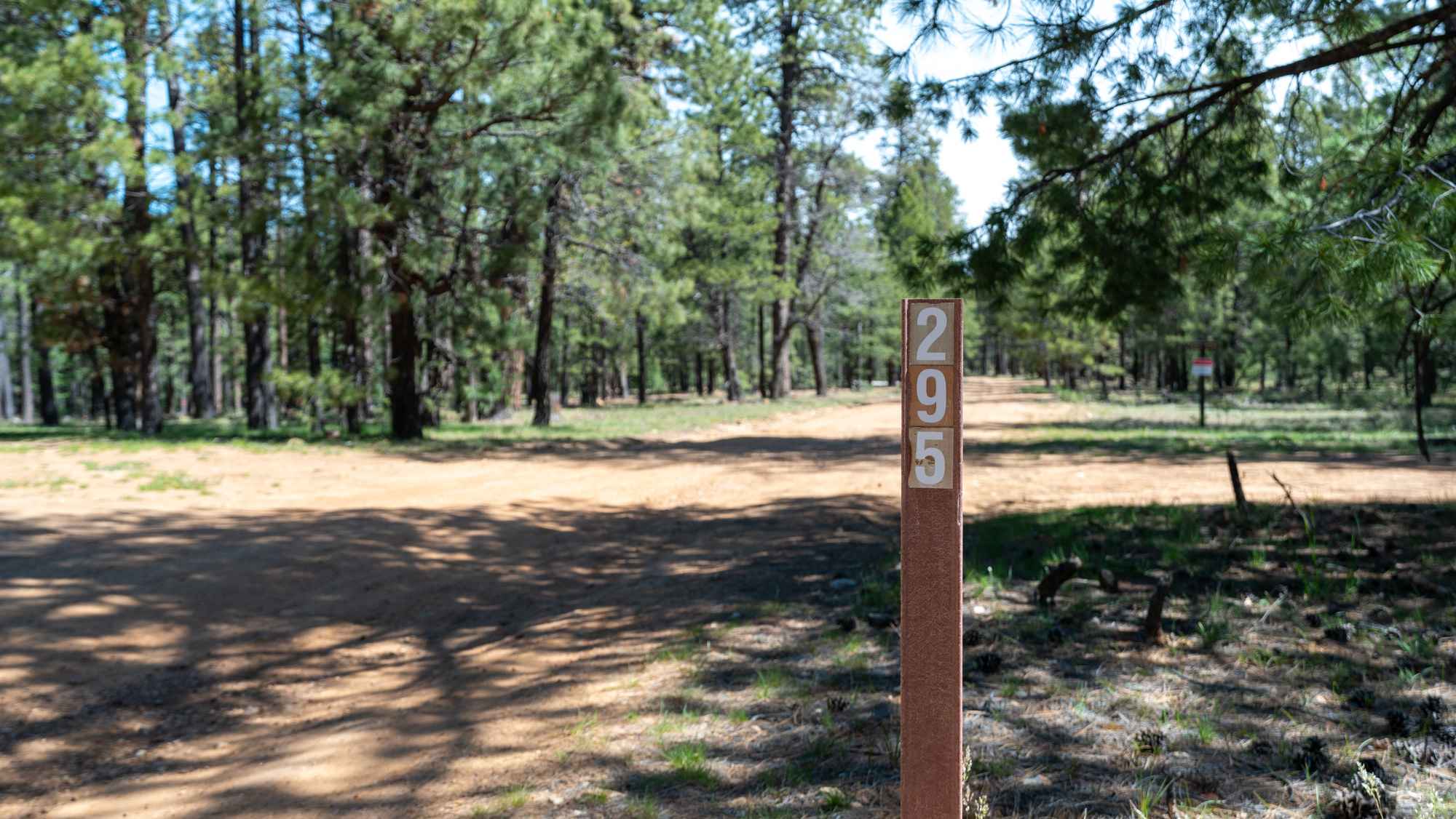
Knoll Ridge - FS 295
Michell Mine Road to Western Edge Trail
The onX Offroad Difference
onX Offroad combines trail photos, descriptions, difficulty ratings, width restrictions, seasonality, and more in a user-friendly interface. Available on all devices, with offline access and full compatibility with CarPlay and Android Auto. Discover what you’re missing today!