Burned Road
Total Miles
3.9
Technical Rating
Best Time
Spring, Summer, Fall
Trail Type
Full-Width Road
Accessible By
Trail Overview
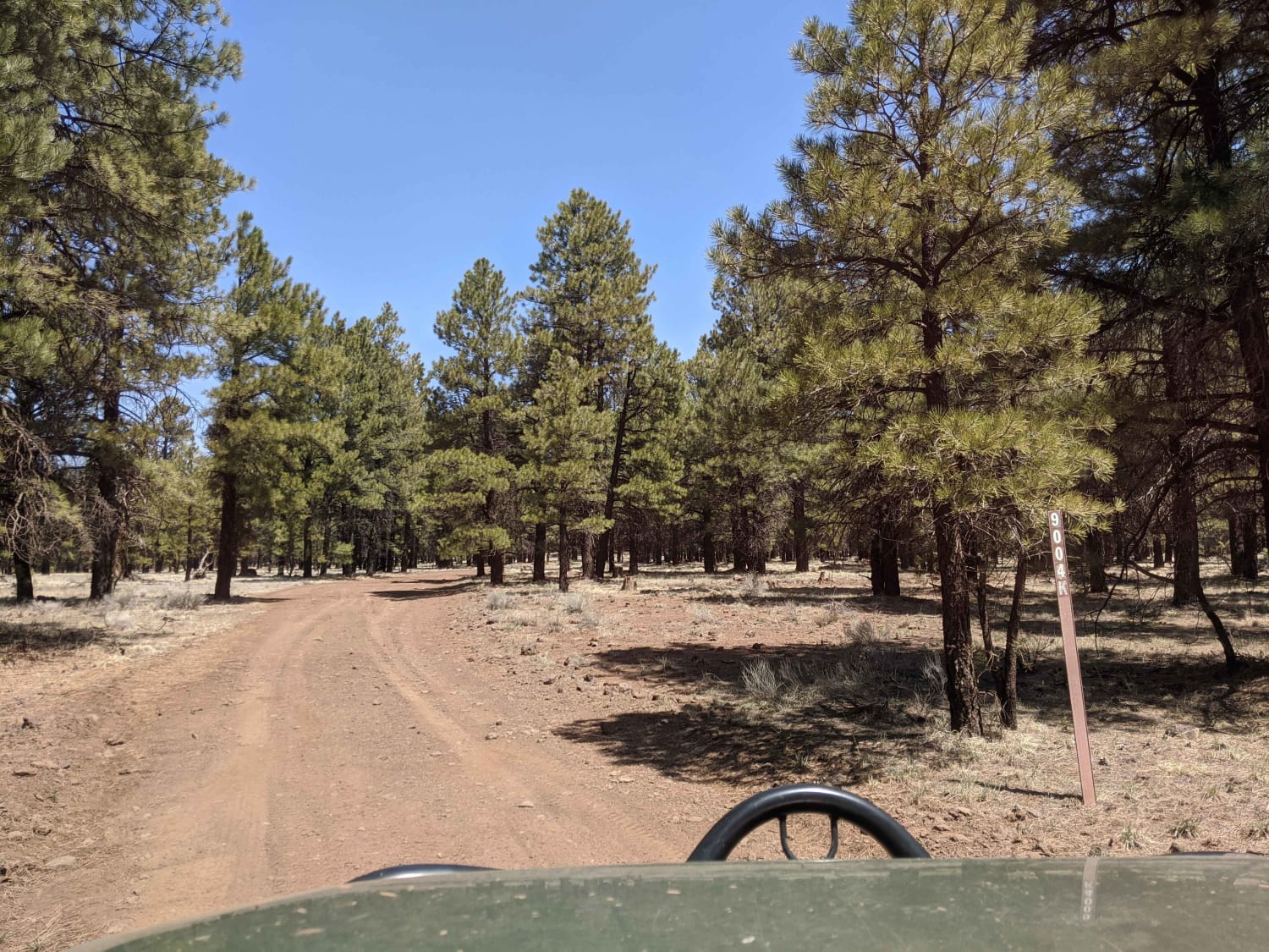
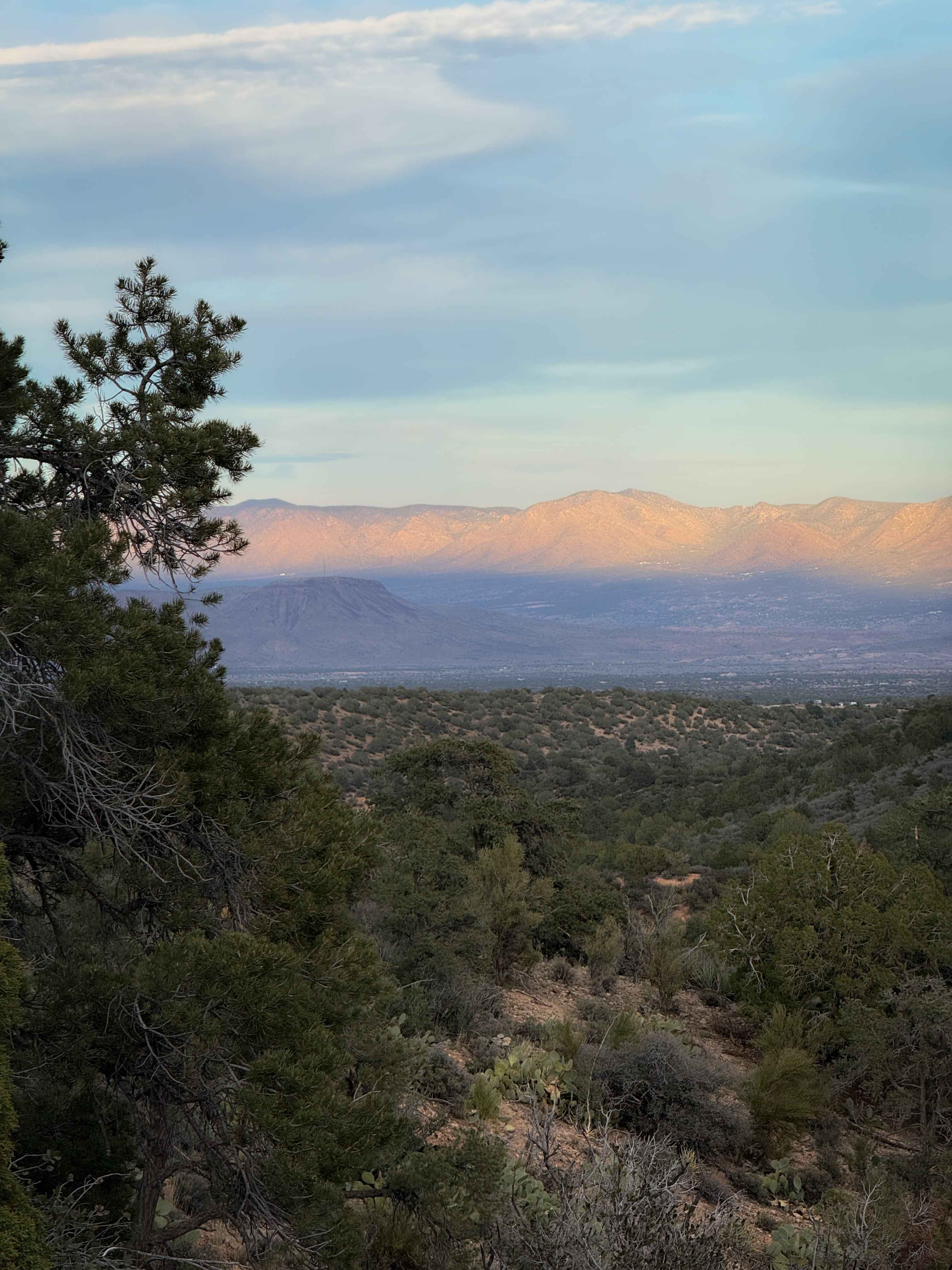
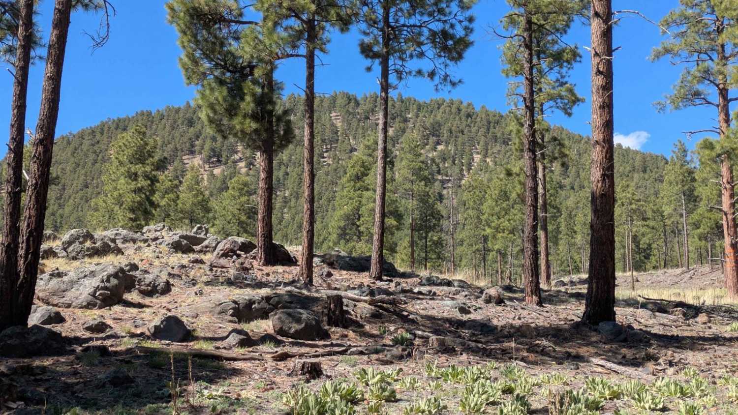
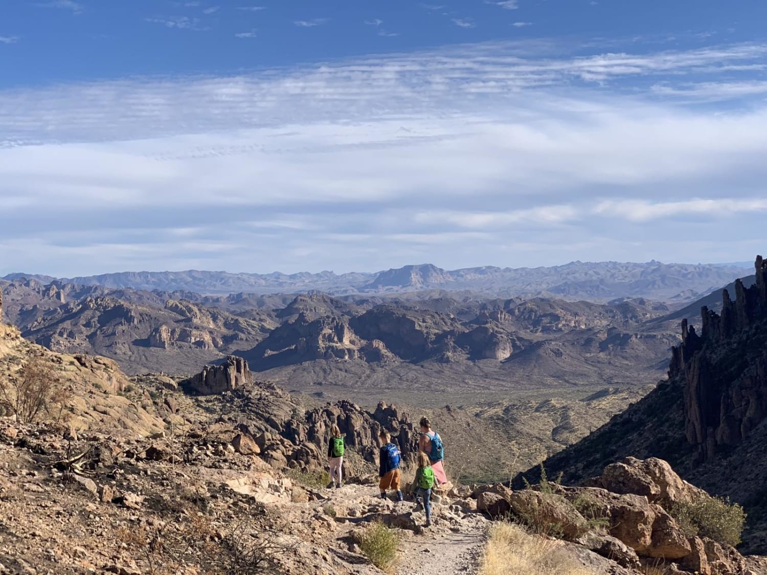
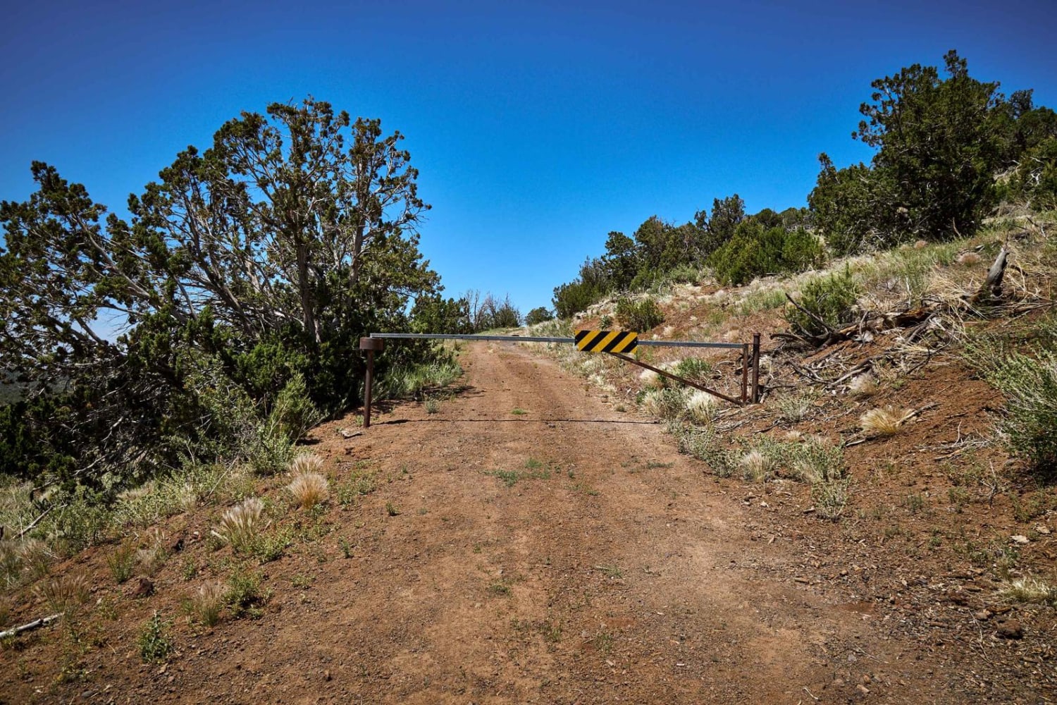
This area has been recently burned by a fire. There are camp spots, but I would proceed with caution as some of the road is rutted, and will become very muddy when wet. Please be aware of falling trees and high fire danger in this area. Cell phone service is spotty out here. This road is not winter maintained.
Photos of Burned Road

Difficulty
Muddy when wet, not winter maintained.
Status Reports
Burned Road can be accessed by the following ride types:
- High-Clearance 4x4
- SUV
- SxS (60")
- ATV (50")
- Dirt Bike
Burned Road Map
Popular Trails
FS 9011K Cutoff
Red Hill Road
The onX Offroad Difference
onX Offroad combines trail photos, descriptions, difficulty ratings, width restrictions, seasonality, and more in a user-friendly interface. Available on all devices, with offline access and full compatibility with CarPlay and Android Auto. Discover what you’re missing today!