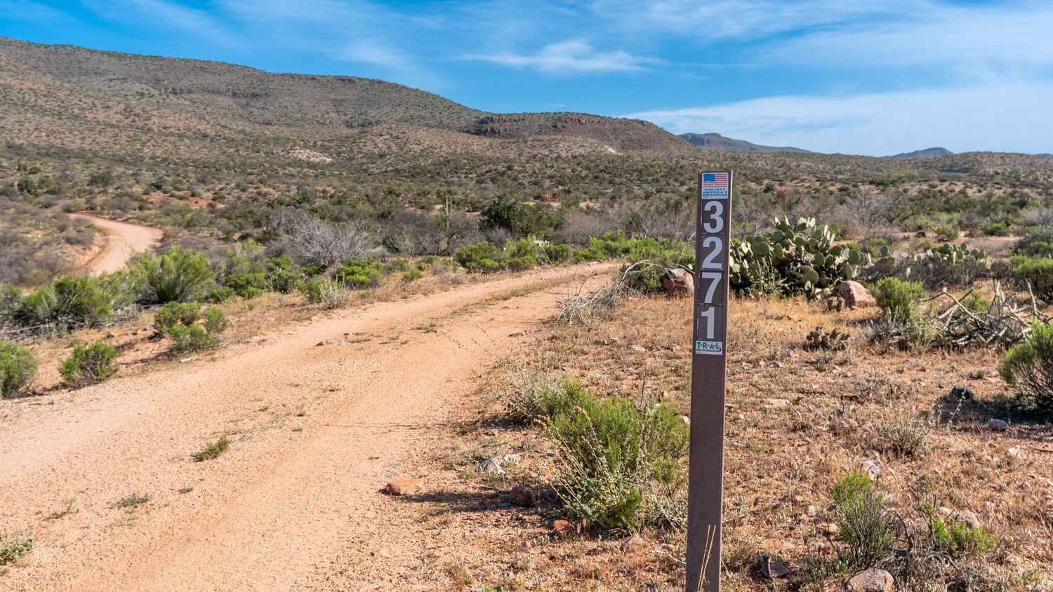
Black Mesa - FS 3271
Total Miles
3.1
Technical Rating
Best Time
Spring, Fall, Winter
Trail Type
Full-Width Road
Accessible By
Trail Overview
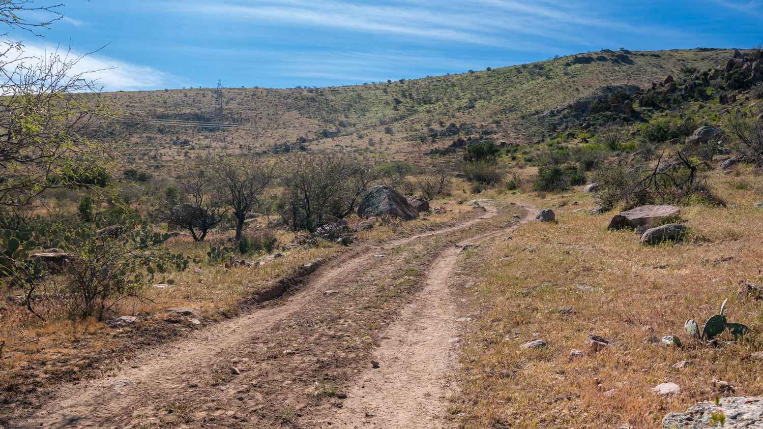
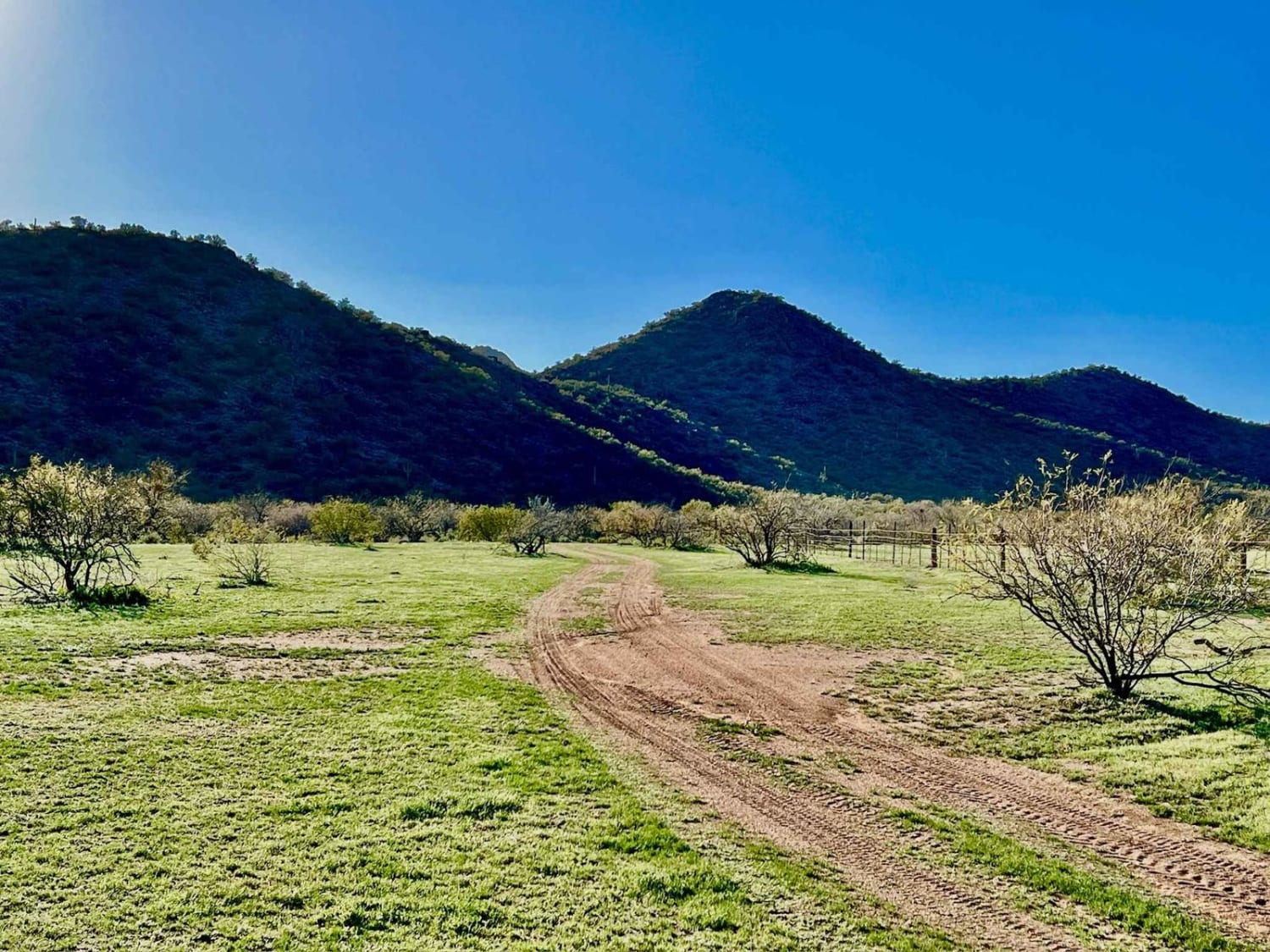
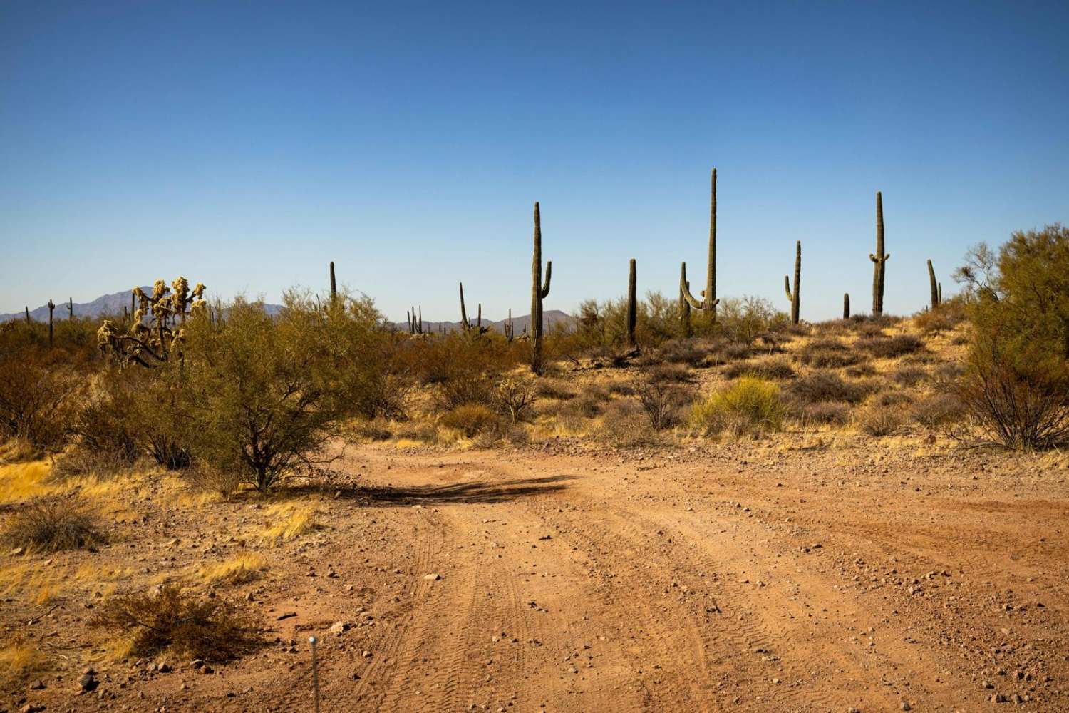
This two-track branches off the very easy, graded Cherry Creek Road and winds its way up toward the top of Black Mesa. The route climbs almost the entire way. Early on, you drop into and out of a few easy washes with short, rocky climbs on the exits. As you gain elevation, the trail becomes smaller and rockier, with a mild shelf road section along the backside of the mesa before opening up at the top. Once on the mesa, the trail follows the open, grassy spine of the ridge, offering expansive views and a grassy landscape that feels more like southern Arizona. The climb becomes more gradual near the top, though it remains consistently rocky. The trail ends at a small camp spot with beautiful views to the northeast, looking down over Cherry Creek and across to the Sierra Anchas. For views to the south, a short walk toward the edge reveals a dramatic drop down the face of the mesa with sweeping scenery beyond.
Photos of Black Mesa - FS 3271
Difficulty
This trail is rated 3/10 due to the sustained rocky surface, steady climb, and short climbs out of washes that require good tire placement. While not overly technical, high clearance is necessary, and drivers should be comfortable with a long, uneven ascent.
Status Reports
Black Mesa - FS 3271 can be accessed by the following ride types:
- High-Clearance 4x4
- SUV
- SxS (60")
- ATV (50")
- Dirt Bike
Black Mesa - FS 3271 Map
Popular Trails

Grass Mine Trail
Black Mountain East

Javelina Problem
Monastery Fenceline
The onX Offroad Difference
onX Offroad combines trail photos, descriptions, difficulty ratings, width restrictions, seasonality, and more in a user-friendly interface. Available on all devices, with offline access and full compatibility with CarPlay and Android Auto. Discover what you’re missing today!