BH1106
Total Miles
1.7
Technical Rating
Best Time
Spring, Fall, Winter
Trail Type
Single Track
Accessible By
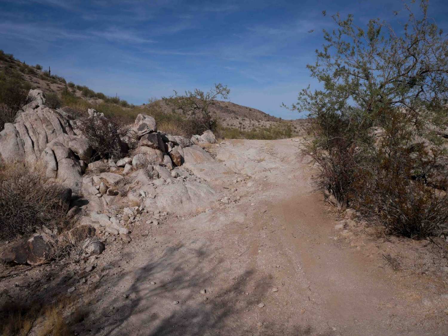
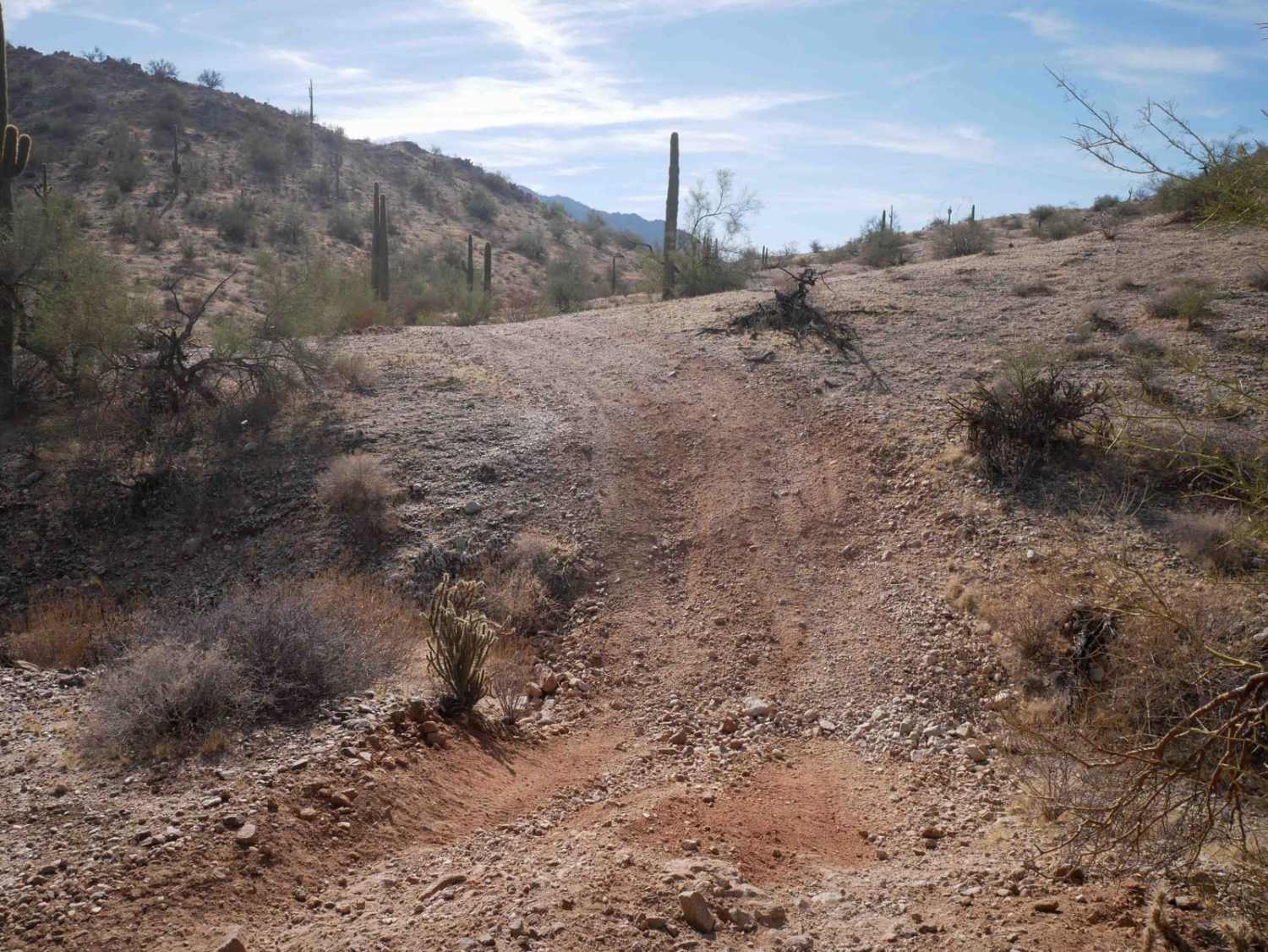
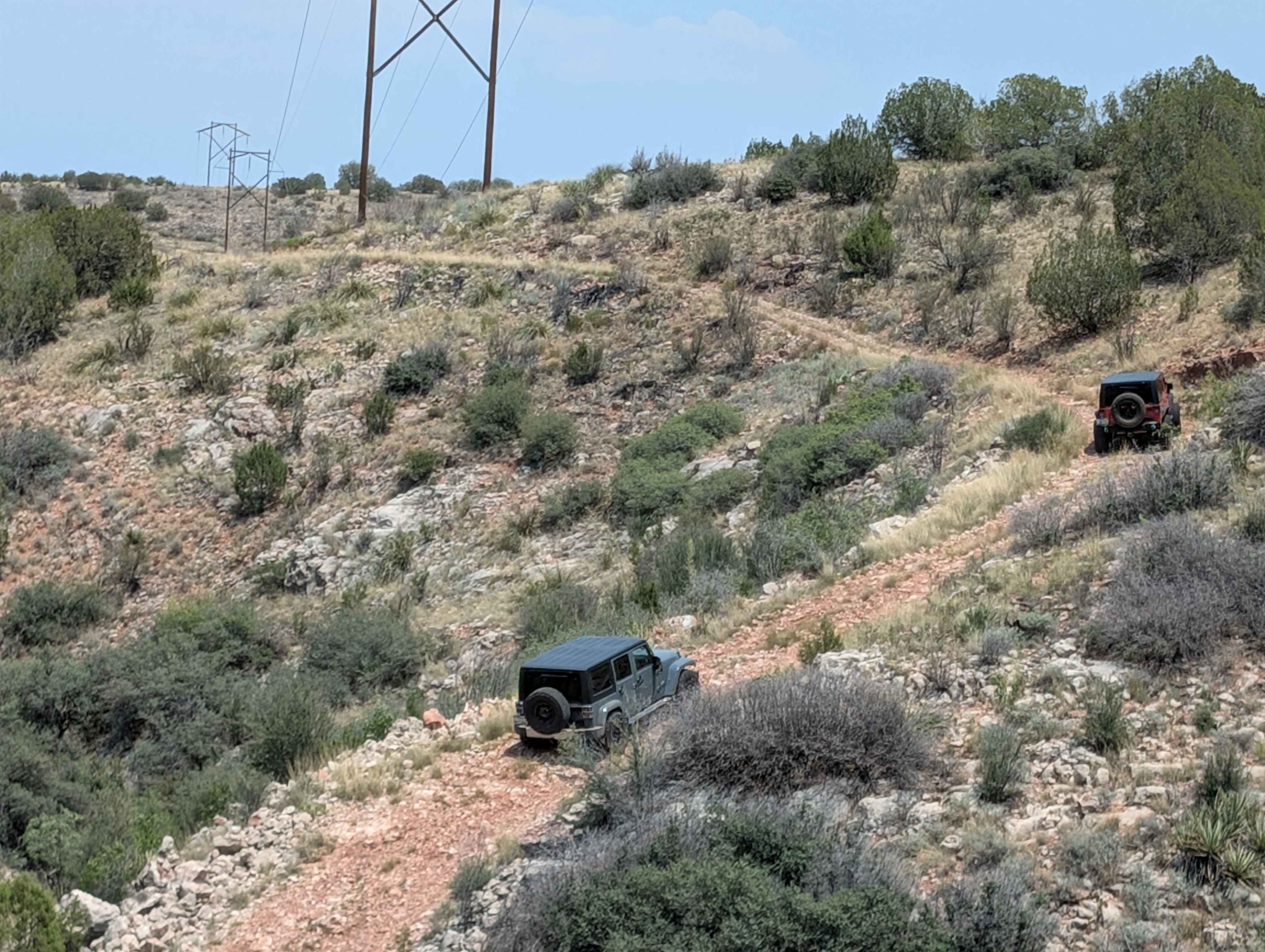
Trail Overview
This trail is a two-track width for the 1.4-mile route. It starts at an unmarked entrance on both ends on a mid-width path, narrower than a Jeep trail, between the bushes. It has some big wide corners on a gravelly surface, making it slippery at times. It goes next to the giant saguaro cactus and up the rolling hills. There are lots of easy straight sections. The trail crosses several deep ravines, requiring a steep dip into the rocky ravine and back out. The west half of the trail has a couple more off-camber sections where the dirt is sloping down the hill somewhat. There's not much out here in this barren terrain, but you might see a fox. A map is helpful out here for several unmarked intersections. When it intersects with BH1105, it hooks south and has a few rockier spots, including one spot of embedded slab rock that is easy.
Photos of BH1106
Difficulty
This is an easy trail that has some rocky ravine crossings, small climbs, and somewhat off-camber sections but remains easy for most average riders.
Status Reports
BH1106 can be accessed by the following ride types:
- Dirt Bike
BH1106 Map
Popular Trails
Segmiller - Sunshine Trail Interconnect
Buck Farm Canyon
Wireline Way
Pole Line Romp
The onX Offroad Difference
onX Offroad combines trail photos, descriptions, difficulty ratings, width restrictions, seasonality, and more in a user-friendly interface. Available on all devices, with offline access and full compatibility with CarPlay and Android Auto. Discover what you’re missing today!