Baker Spring
Total Miles
3.2
Technical Rating
Best Time
Spring, Summer, Fall, Winter
Trail Type
Full-Width Road
Accessible By
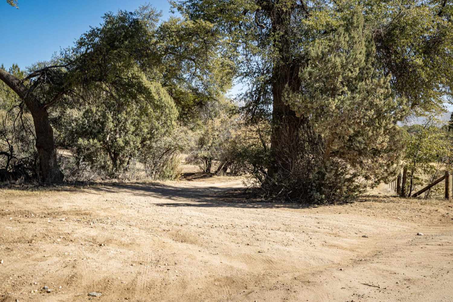
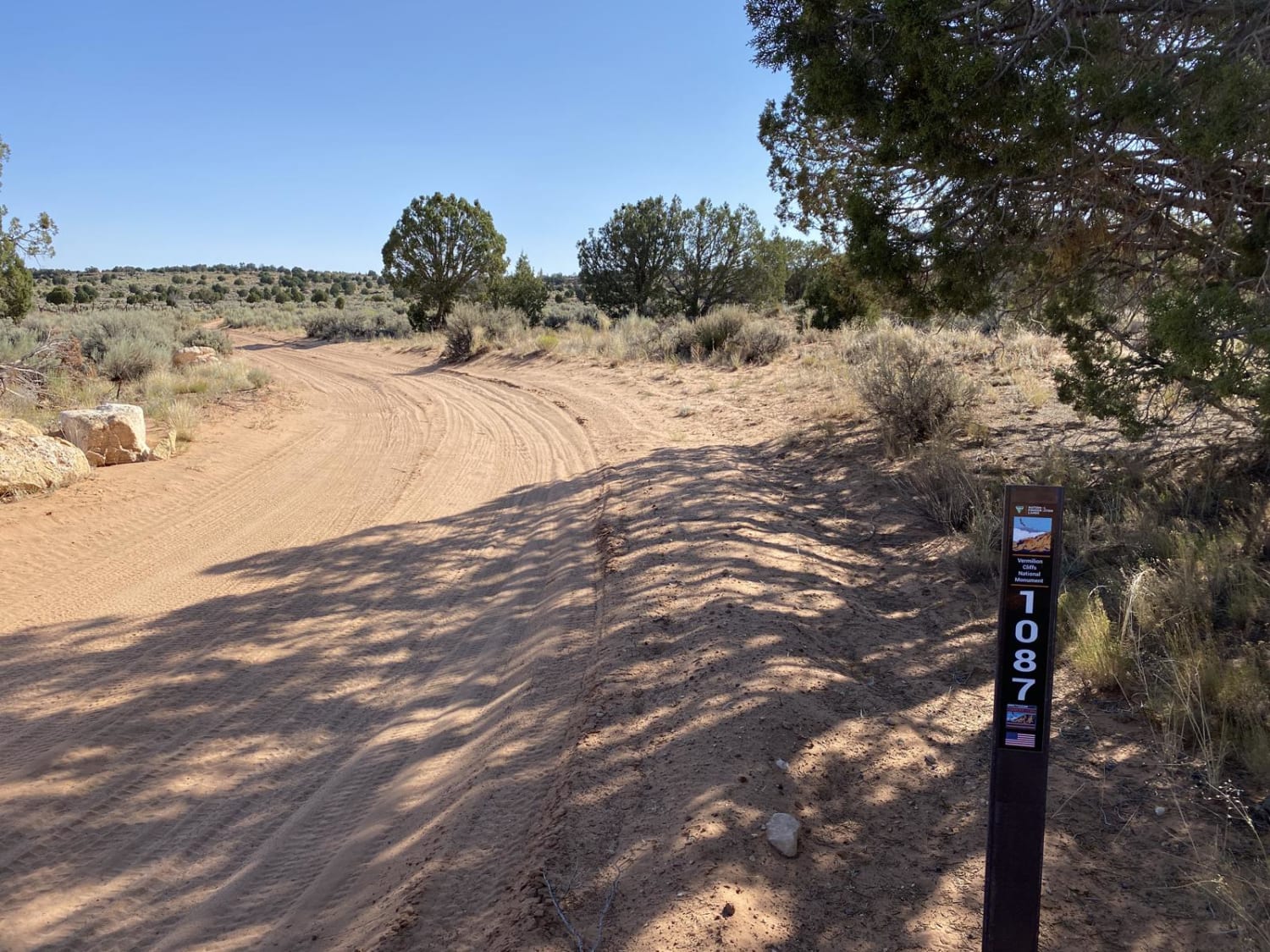
Trail Overview
Baker Spring is a narrow, one-lane trail that winds through pastures and rolling hills. Sections of heavy erosion and short, rocky hills make for a rougher ride, requiring careful navigation. The trail is blocked at its connection point and does not go through, so plan for a turnaround. There are several connecting trails along this main trail, with areas for parking and exploring the Granite Mountain Wilderness on foot that are well marked along this trail. With no cell service in the area, be sure to download offline maps before heading out.
Photos of Baker Spring

Difficulty
This is an unmaintained trail with rocky hill climbs, erosion, and is one lane. If you must leave the trail to pass and/or turn around, please remember to TREAD LIGHTLY as this environment is fragile and is prone to lasting damage.
Status Reports
Baker Spring can be accessed by the following ride types:
- High-Clearance 4x4
- SUV
- SxS (60")
- ATV (50")
- Dirt Bike
Baker Spring Map
Popular Trails
White Pocket Road

Jimmie O'Haco
The onX Offroad Difference
onX Offroad combines trail photos, descriptions, difficulty ratings, width restrictions, seasonality, and more in a user-friendly interface. Available on all devices, with offline access and full compatibility with CarPlay and Android Auto. Discover what you’re missing today!