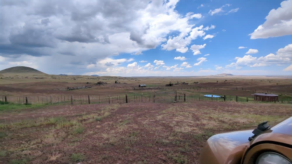
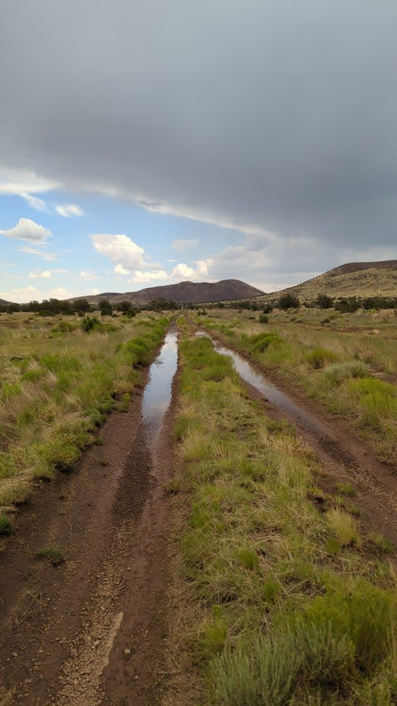
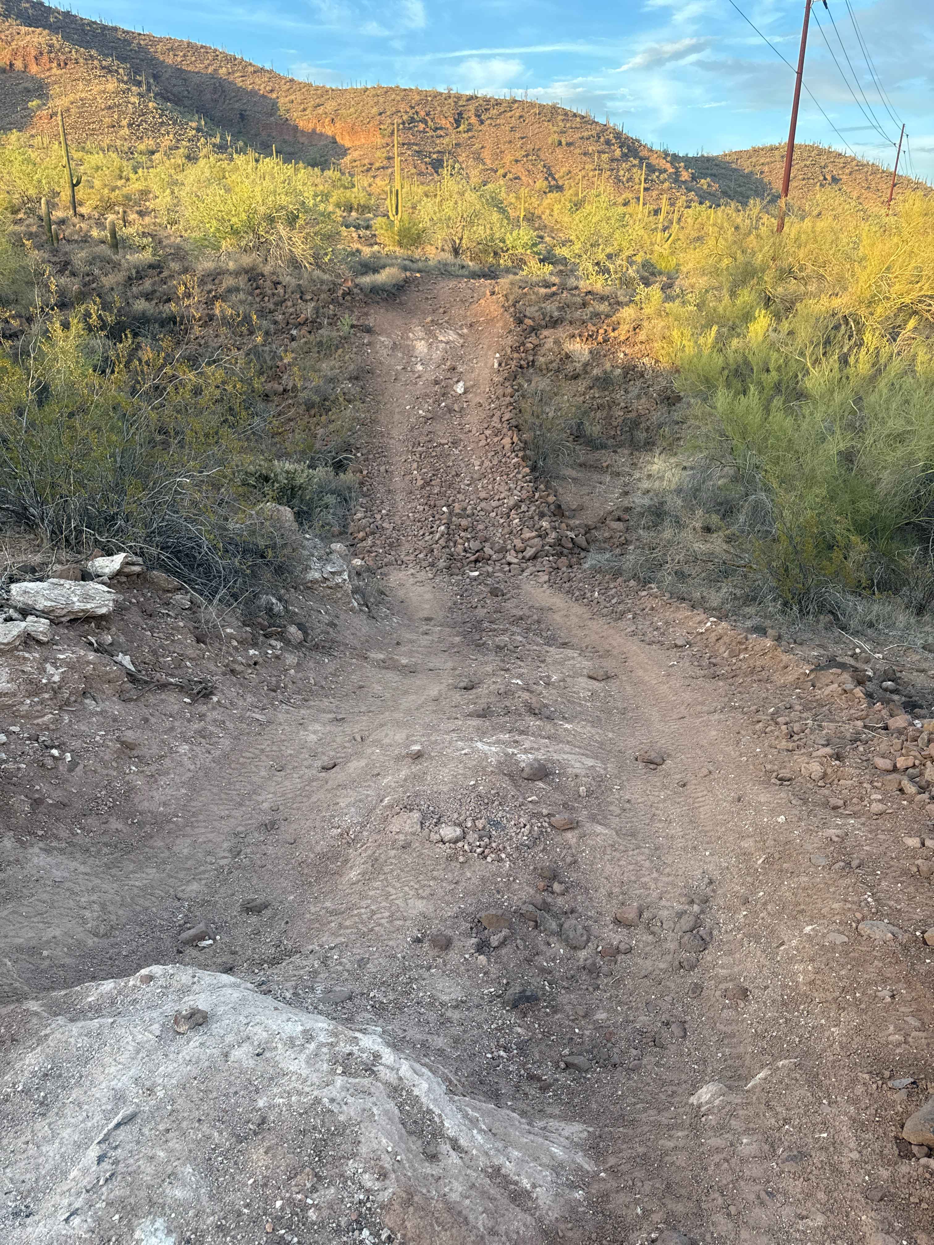
Aso Ranch to O'Leary Loop
Total Miles
11.3
Technical Rating
Best Time
Summer, Fall
Trail Type
High-Clearance 4x4 Trail
Accessible By
Trail Overview
This single-track forest road leads you from Highway 89 west to the historic Aso Ranch through the Coconino National Forest, or east as an alternate access to O'Leary Loop, bypassing the challenging FS 9124 portion of the O'Leary Trail. It can be run in any direction. The trail was mapped traveling from Aso Ranch east to O'Leary Loop. As a solo trail, it can be run from Highway 89 to Aso Ranch. At Aso Ranch, you can pick up the 89 to Aso Ranch Trail to easily get back to the pavement.
Photos of Aso Ranch to O'Leary Loop
Difficulty
West of Highway 89, stock 4x4 will find deep washouts that require good tire placement and potentially some road-building skills. Lifted rigs will have no problems. Ninety percent of the erosion is located on the Highway 89 end of the trail between Stagg Tank and Old Grand Canyon Tank. From Old Grand Canyon Tank to Aso Ranch, this is a grade 3 trail. East of Highway 89 (towards O'Leary Loop), it's a grade 3 trail and has no obstacles of note because there are bypasses for all eroded areas on that side of the trail. Note: monsoon season can, and will, change the nature of this trail. There is evidence of serious erosion problems with multiple, almost washed away, culverts attempting to repair the erosion between Stagg Tank and OGC Tank.
Status Reports
Aso Ranch to O'Leary Loop can be accessed by the following ride types:
- High-Clearance 4x4
Aso Ranch to O'Leary Loop Map
Popular Trails
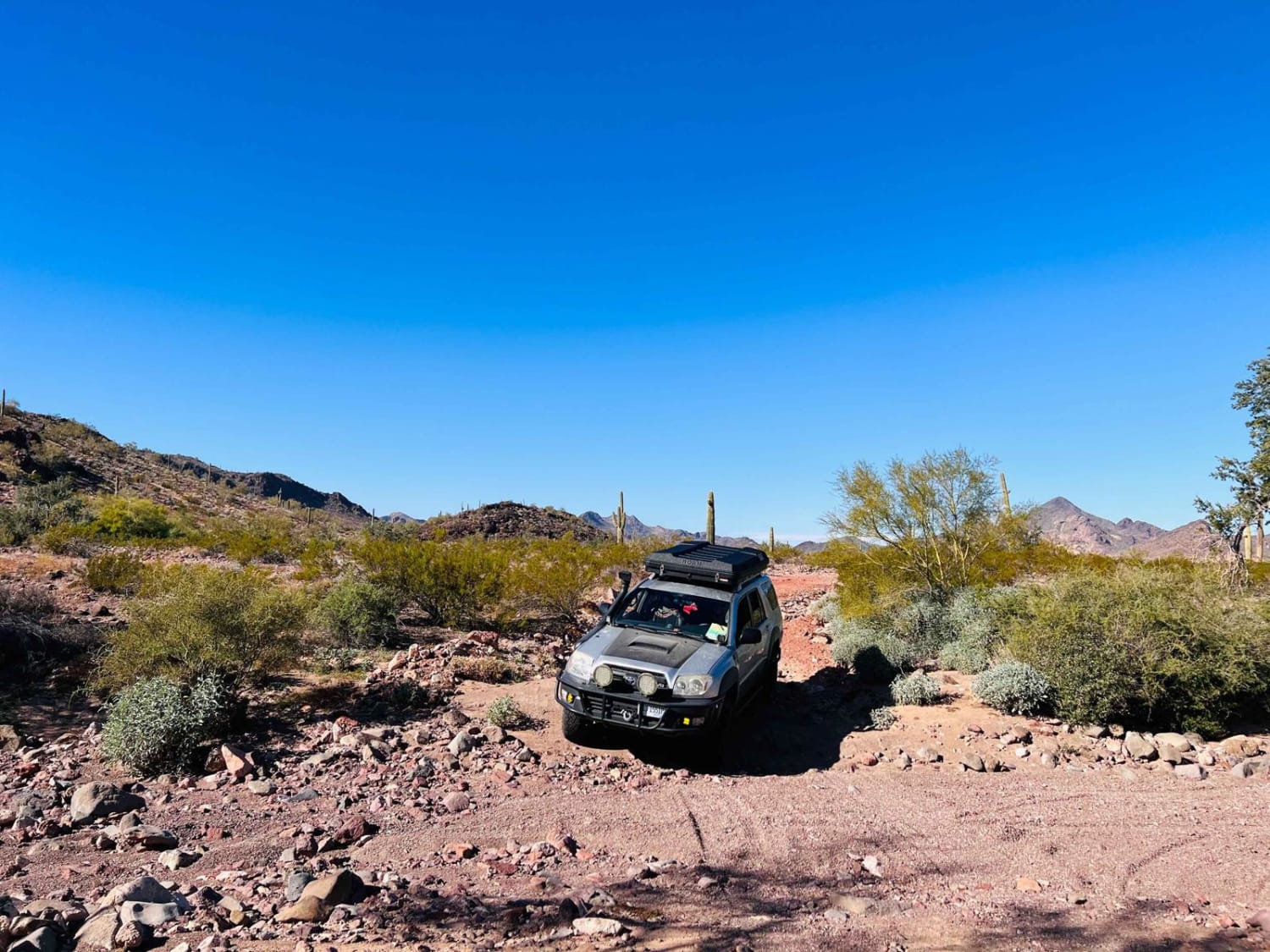
Cementosa Cutover
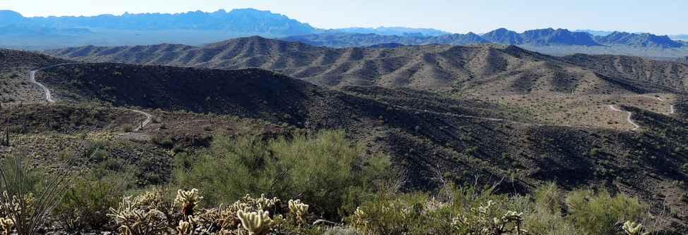
New Water Mountains
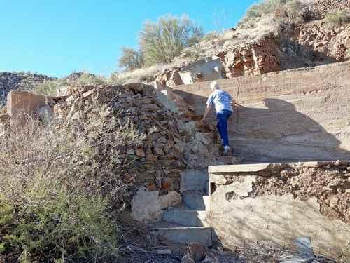
McCraken Rockhouse Cabin
The onX Offroad Difference
onX Offroad combines trail photos, descriptions, difficulty ratings, width restrictions, seasonality, and more in a user-friendly interface. Available on all devices, with offline access and full compatibility with CarPlay and Android Auto. Discover what you’re missing today!
