51026
Total Miles
2.9
Technical Rating
Best Time
Summer, Winter, Spring, Fall
Trail Type
Full-Width Road
Accessible By
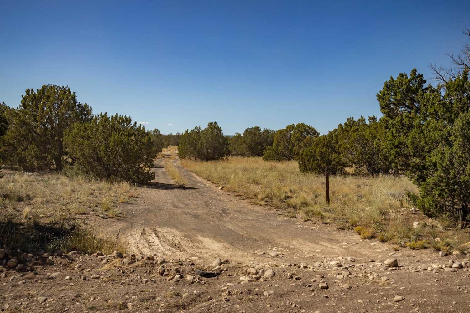
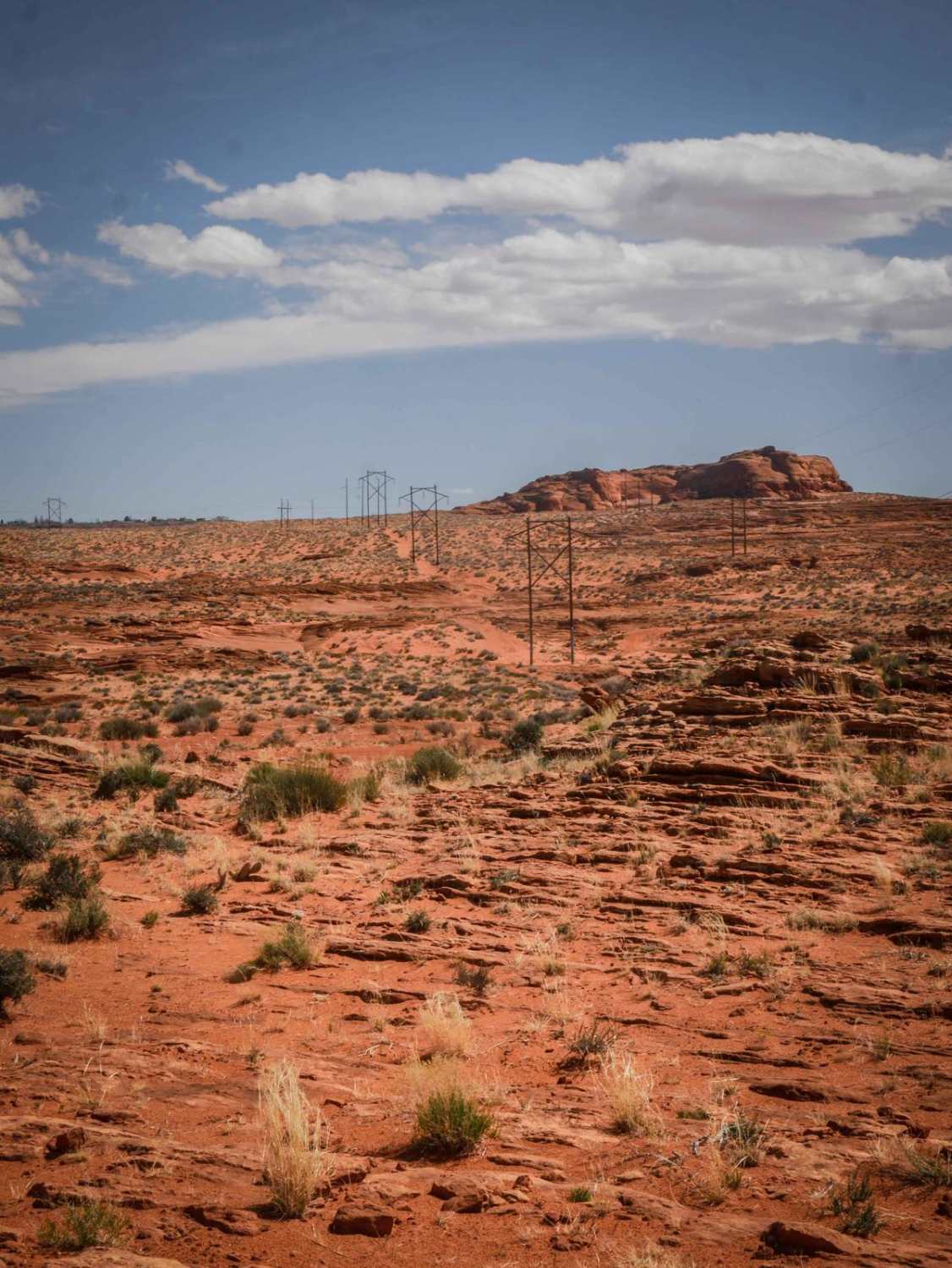
Trail Overview
Trail 51026 begins at a small parking area and quickly leads to a Y intersection with several camp rings nearby. The trail starts as a nice, wide gravel track lined with pine trees, prickly pear cactus, and desert creosote as it follows the ridgeline through both State Trust and BLM land. The route eventually circles around and descends a long, steep hill into a beautiful meadow before dropping into a wash. Inside the wash, the trail becomes much tighter with heavy pinstriping likely in places as it winds deeper into the mountains at a lower elevation. This section is rocky and bumpy with several larger gravel rocks and could easily become impassable during wet conditions. Expect multiple off-camber sections requiring careful wheel placement. High-clearance 4WD is necessary, and the trail remains narrow for much of the route. A valid Arizona State Trust Land permit is required for the State Trust sections. The trail eventually climbs out of the wash back onto higher ground, where the route continues winding tightly through the mountains. Along the way, you will pass the old copper mine before climbing to a scenic overlook with sweeping valley views. Beyond the overlook, the trail narrows into a very tight shelf road section before descending back down the mountain and eventually ending at the Silver Crown Mine. A gate is located at the mine on State Trust land. Please leave the gate closed.
Photos of 51026


Difficulty
Ruts, off-camber, whoops, tight overgrown trees, pinstripes. Could be impassable in bad weather.
History
The Silver Crown Mine is one of many historic hard-rock mining sites tied to Arizona's late-1800s silver boom. There are actually a few mines in Arizona with the "Silver Crown" name, but the best-documented one is in the Weaver/Walnut Grove mining district of Yavapai County near the Bradshaw Mountains.
Status Reports
51026 can be accessed by the following ride types:
- High-Clearance 4x4
- SUV
- SxS (60")
- ATV (50")
- Dirt Bike
51026 Map
Popular Trails

Clear Creek Pines Loop

Lazy Lizard - FR 9600S
Powerline ORV Loop
The onX Offroad Difference
onX Offroad combines trail photos, descriptions, difficulty ratings, width restrictions, seasonality, and more in a user-friendly interface. Available on all devices, with offline access and full compatibility with CarPlay and Android Auto. Discover what you’re missing today!