Round the Mountain
Total Miles
0.3
Technical Rating
Best Time
Spring, Summer, Fall, Winter
Trail Type
Full-Width Road
Accessible By
Trail Overview
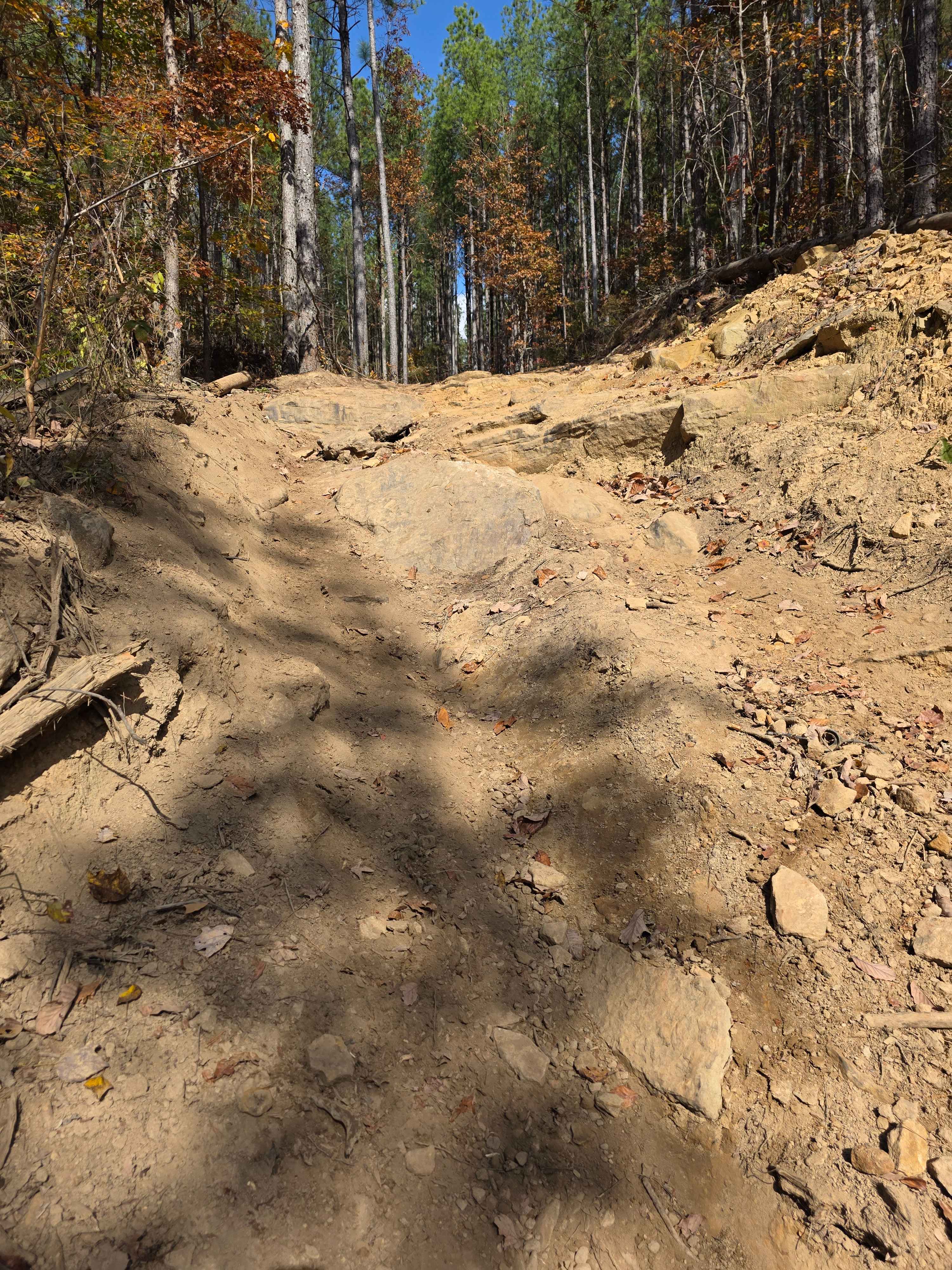
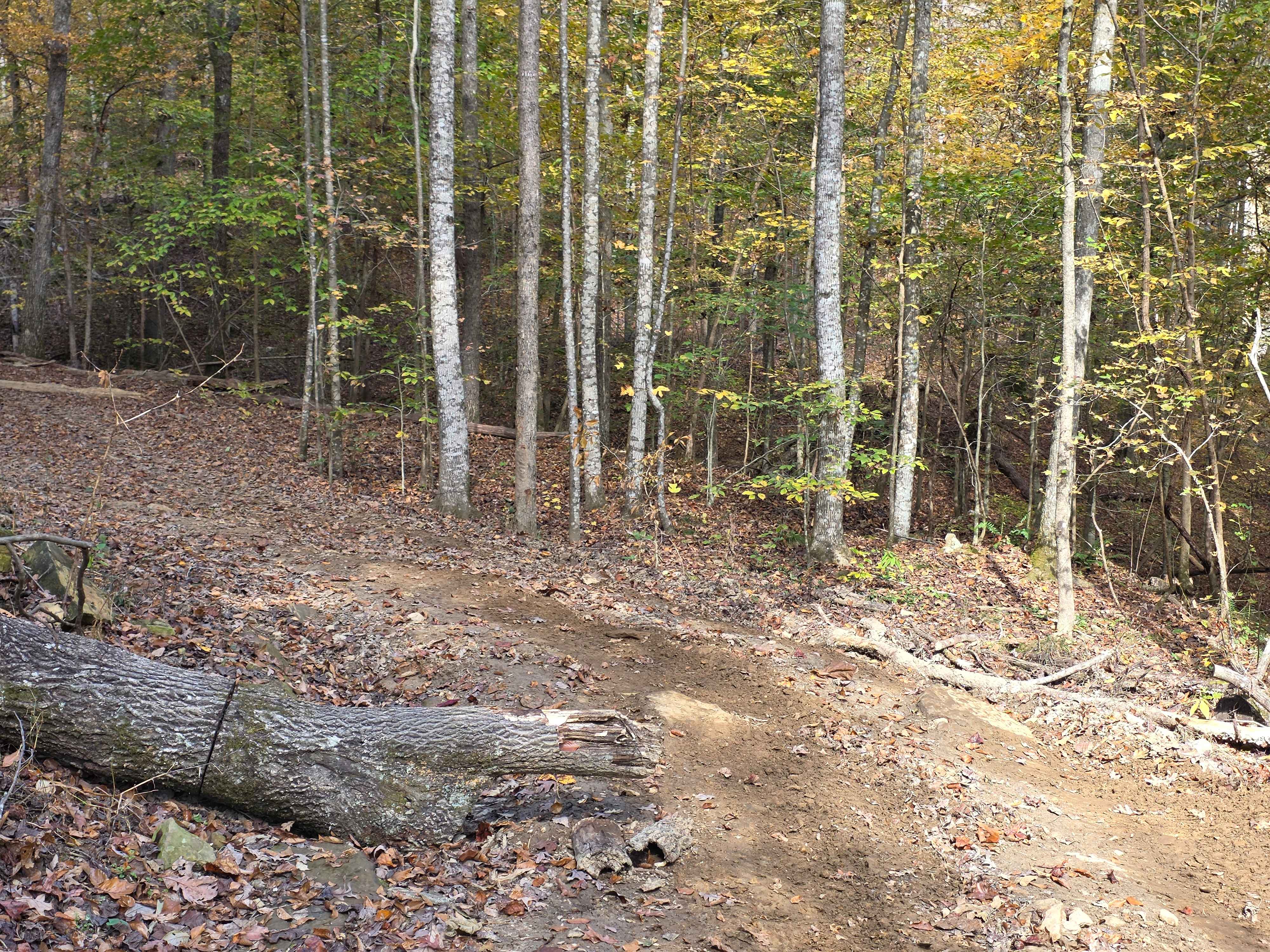
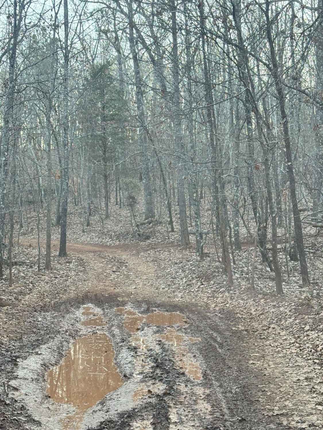
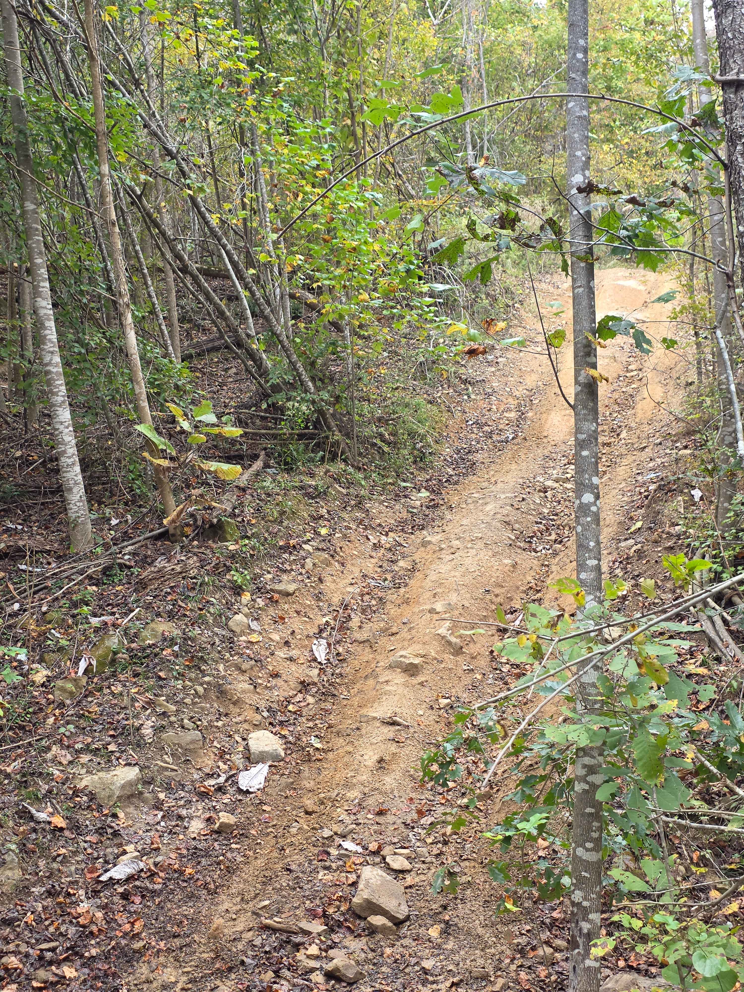
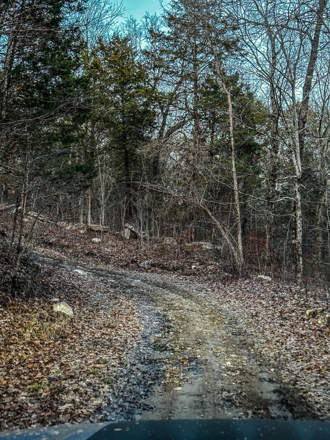
Round the Mountain's accurate name allows you to bypass the hill climb of High Point Hill, but puts you in a rougher hill climb with exposed rock edges. The erosion is causing the rock ledges to become evident and more difficult. The bottom part that loops around the mountain is a lush forest canopy just before it turns uphill, where the fun begins.
Photos of Round the Mountain
Difficulty
The bottom of the trail is of no difficulty, but the back side of the mountain will prove challenging with its rocks over two feet tall.
Status Reports
Round the Mountain can be accessed by the following ride types:
- High-Clearance 4x4
- SUV
- SxS (60")
- ATV (50")
- Dirt Bike
Round the Mountain Map
Popular Trails

Pick Axe 6
Poplar Springs Trail
The onX Offroad Difference
onX Offroad combines trail photos, descriptions, difficulty ratings, width restrictions, seasonality, and more in a user-friendly interface. Available on all devices, with offline access and full compatibility with CarPlay and Android Auto. Discover what you’re missing today!