Main Road North
Total Miles
1.0
Technical Rating
Best Time
Spring, Summer, Fall, Winter
Trail Type
Full-Width Road
Accessible By
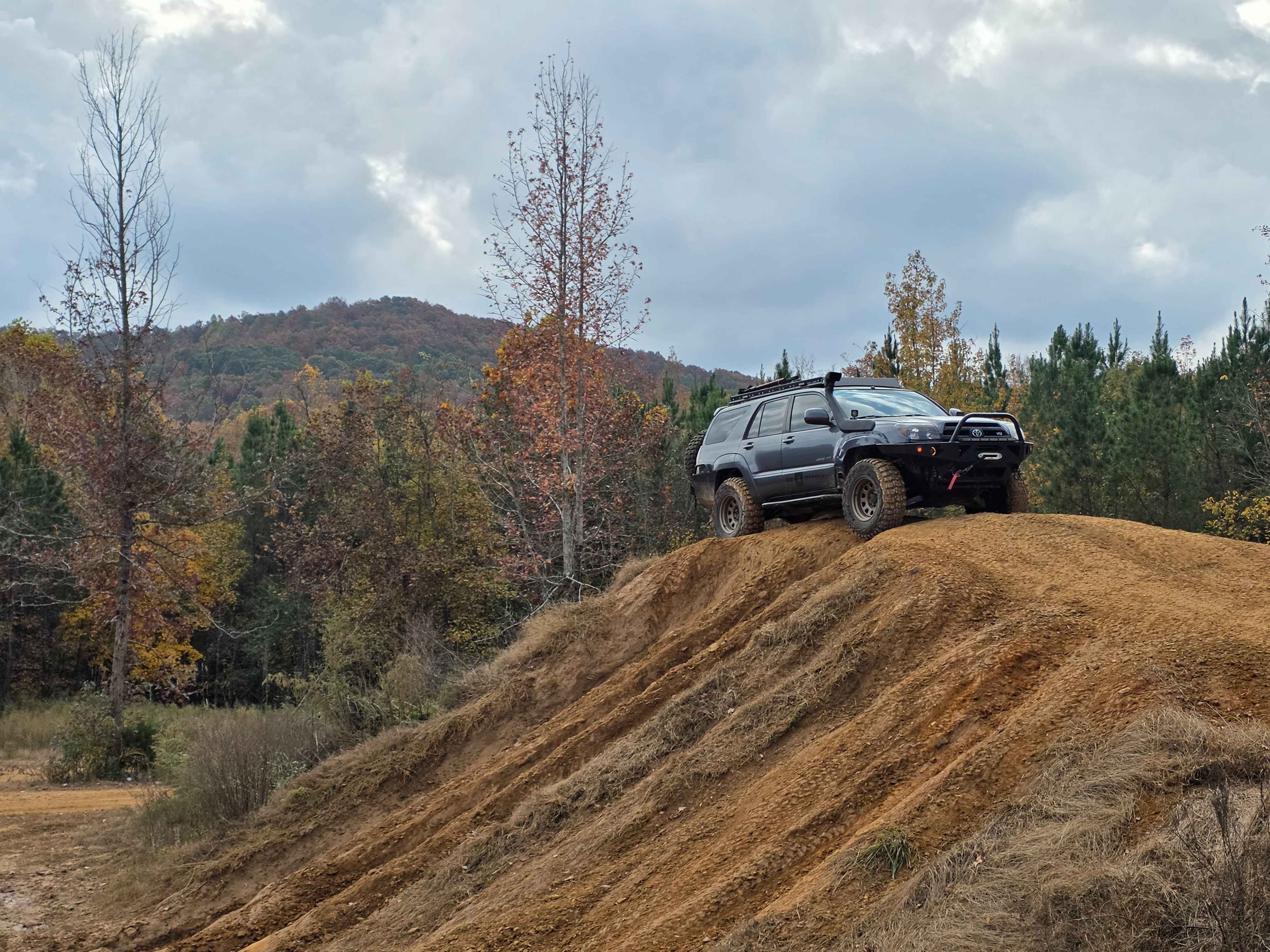
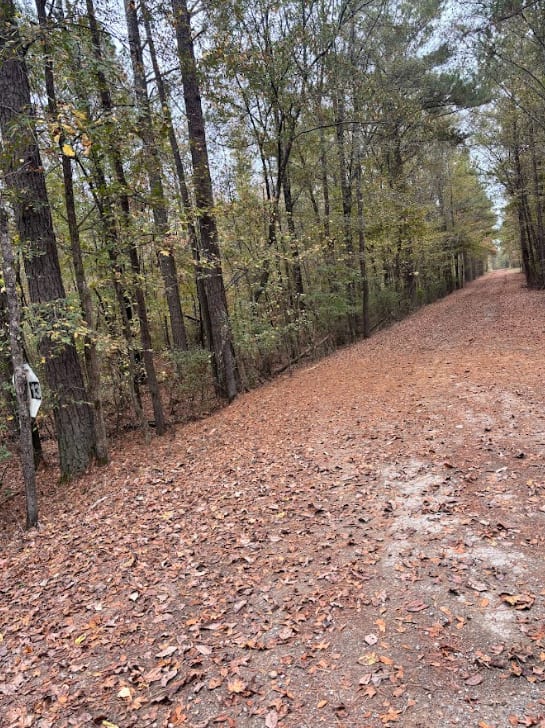
Trail Overview
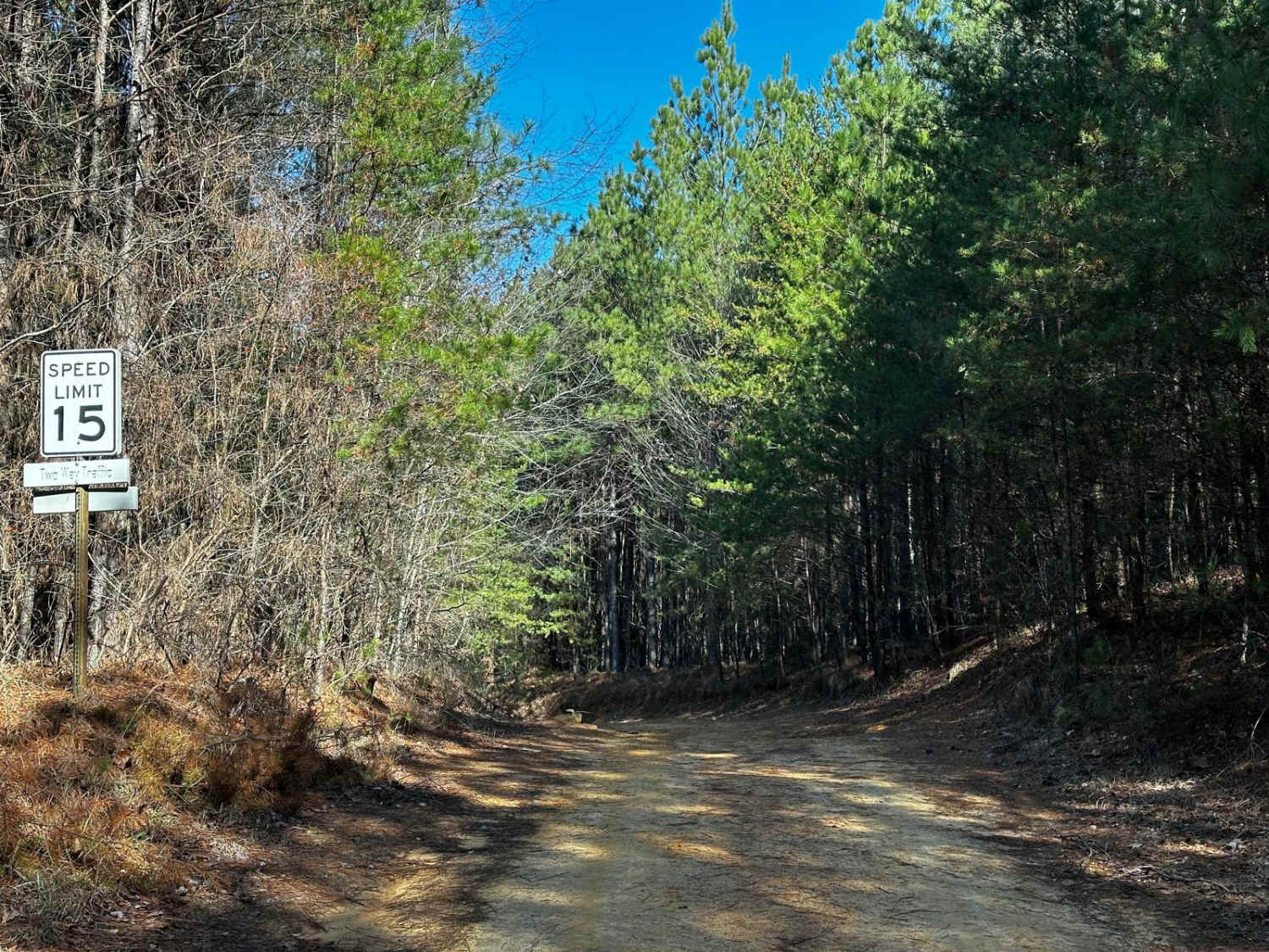
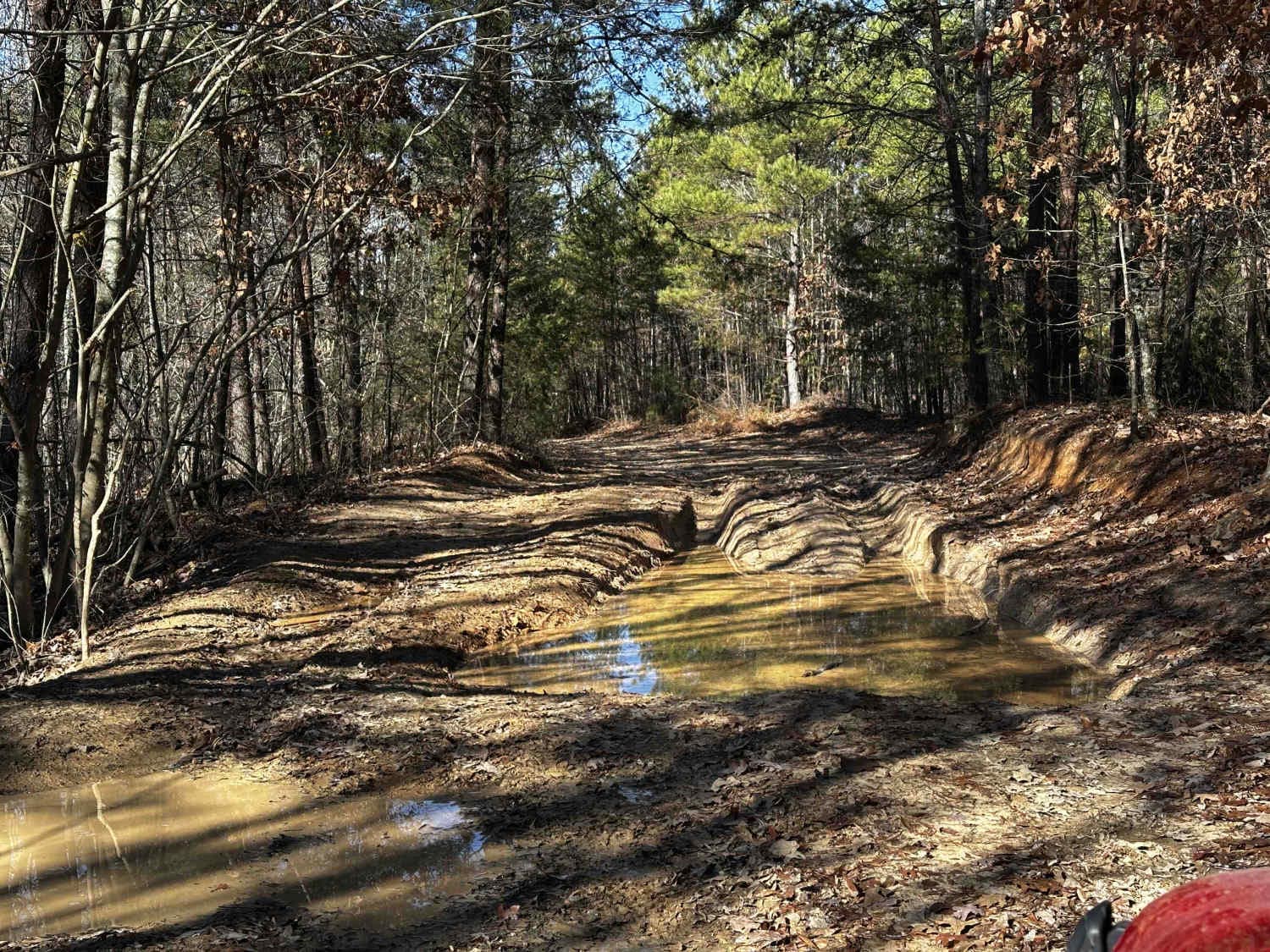
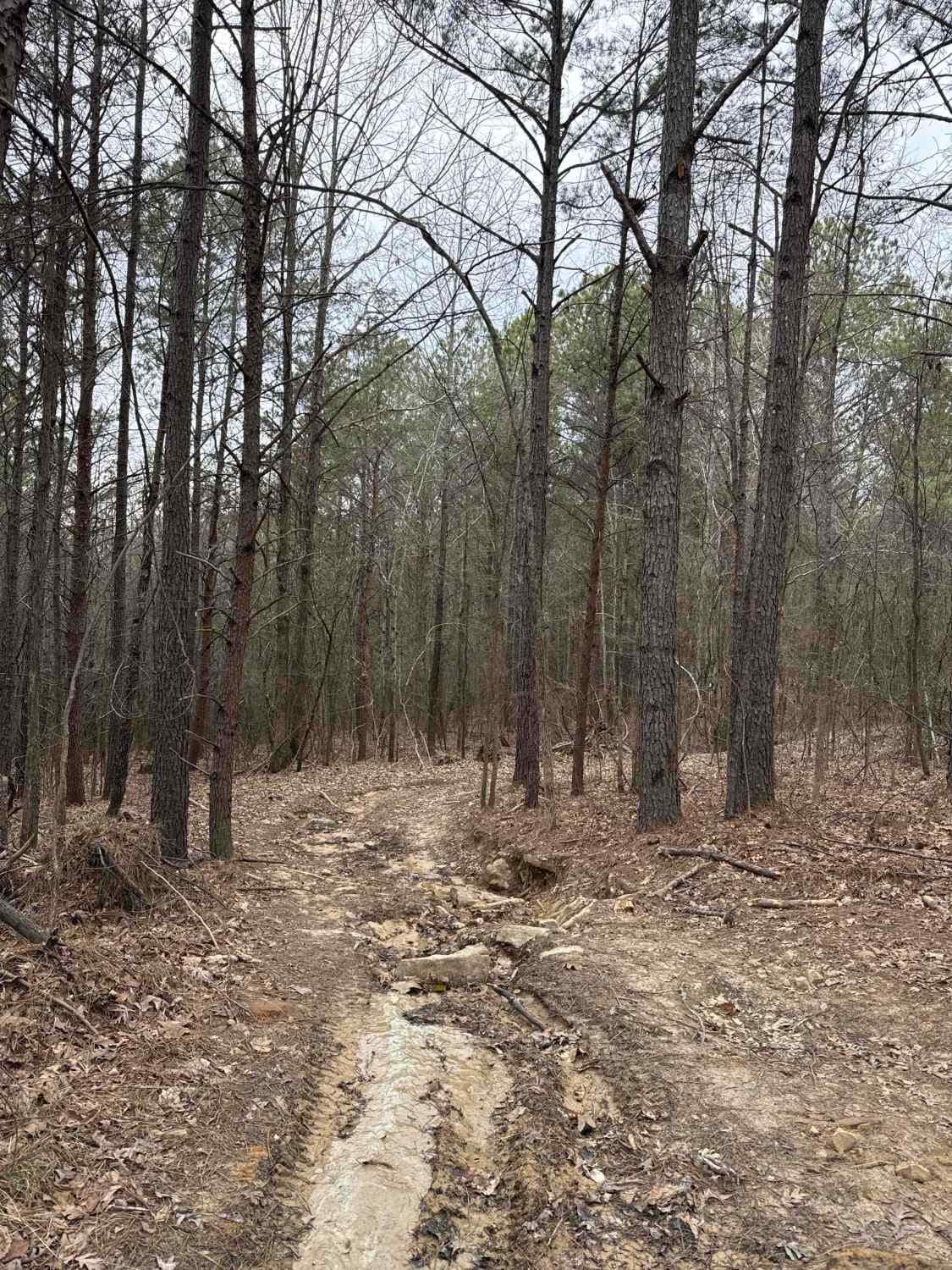
Main Access Road North is a practical connector trail, offering a straightforward route with minor challenges. The trail's mix of dirt, loose rock, and water crossings adds mild variety, making it accessible for high-clearance vehicles. The trail is ideal for navigating between trails in the park's northeast corner off the Main Access Trail. Be vigilant of oncoming traffic especially over blind hills the trail has.
Photos of Main Road North
Difficulty
This trail is primarily packed dirt with shallow erosion ruts, occasional potholes, and a few sections of standing water, which can deepen after rain. Alternate paths are available to bypass waterlogged areas. Two moderate hills and sections of loose rock offer mild challenges, while a 10- to 12-degree descent with loose rock leads to a creek crossing. The creek typically has 12 to 18 inches of flowing water, but depths may increase significantly after heavy rainfall. Drivers should exercise caution on blind curves and hill crests due to two-way traffic.
Status Reports
Main Road North can be accessed by the following ride types:
- High-Clearance 4x4
- SUV
- SxS (60")
- ATV (50")
- Dirt Bike
Main Road North Map
Popular Trails
Candy Land
Silo Speedway
The onX Offroad Difference
onX Offroad combines trail photos, descriptions, difficulty ratings, width restrictions, seasonality, and more in a user-friendly interface. Available on all devices, with offline access and full compatibility with CarPlay and Android Auto. Discover what you’re missing today!